Elevation of Schultz Rd, Oakdale, CA, USA
Location: United States > California > San Joaquin County > Oakdale >
Longitude: -120.91108
Latitude: 37.828155
Elevation: 46m / 151feet
Barometric Pressure: 0KPa
Related Photos:
IMG_3340-a4
No, this is not a crop duster making a turn!
View.

Todds Viewing Sphere

Lotus Garden with Photographers

Jan 2008 meeting 02

Ants eye view of Elliot

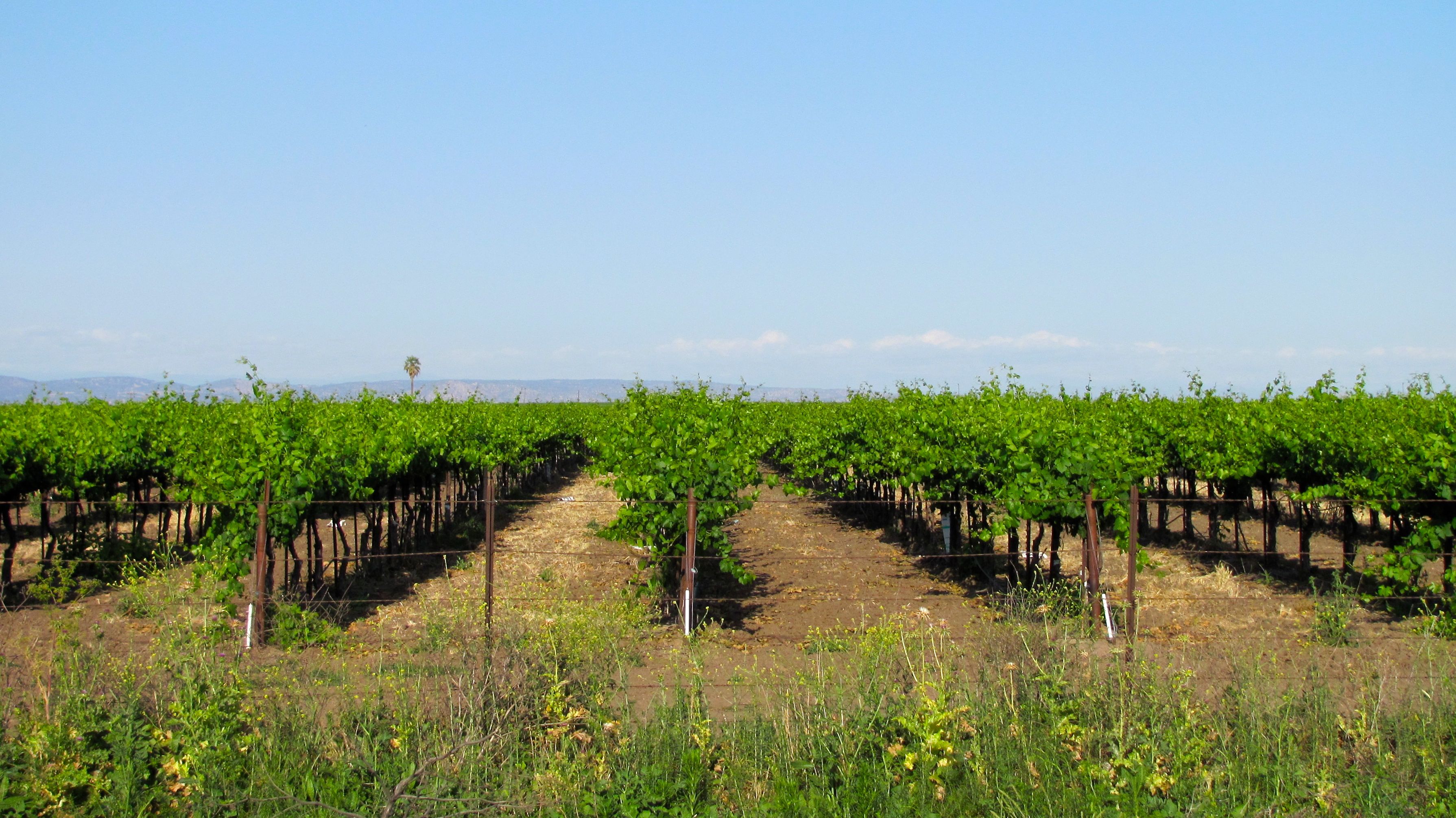
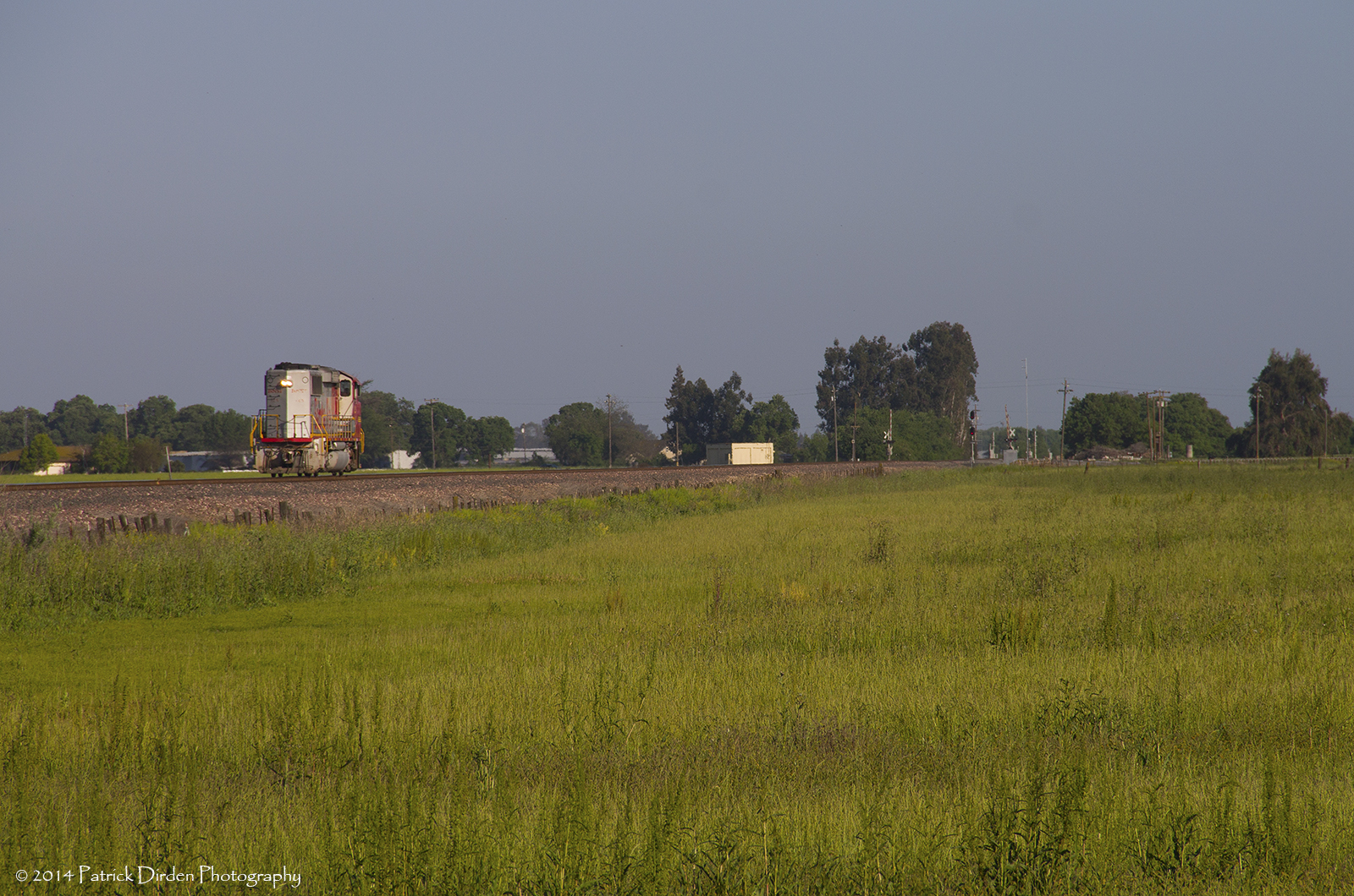
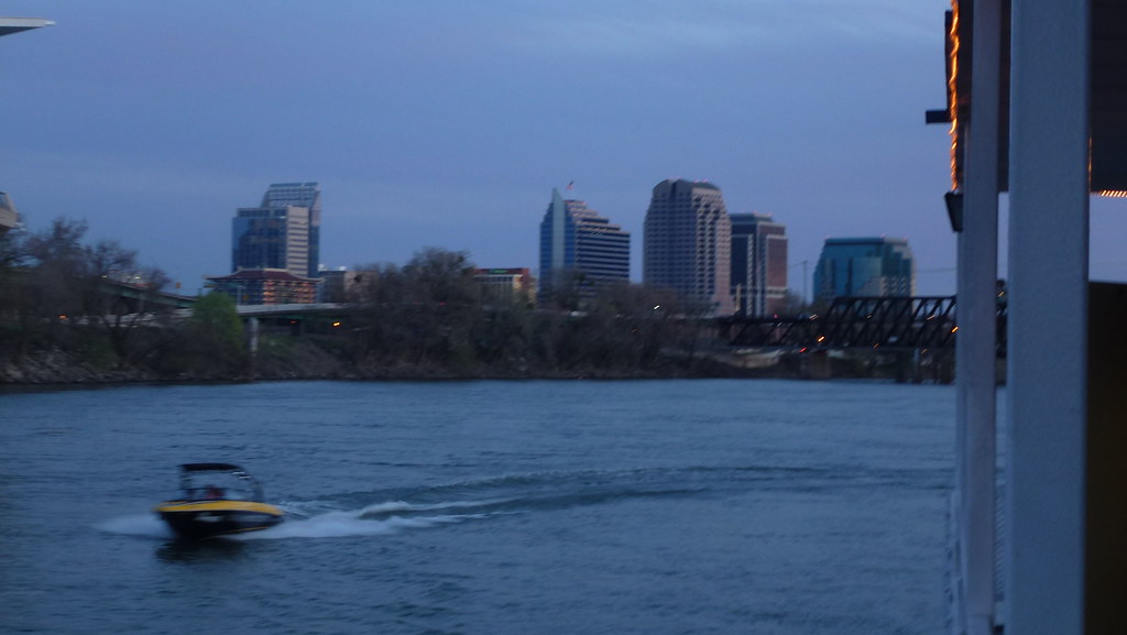
Central Valley

Had a great #view of the #firedancers at the #familycircus @symbiosisgathering #symbiosisgathering #firefan #gonnahireafiredancerfornewyearseve

Our #view of the #grotto @symbiosisgathering #symbiosisgathering #trippylights #lights #psytrance

DSC_0015-a2
ACe is the place!
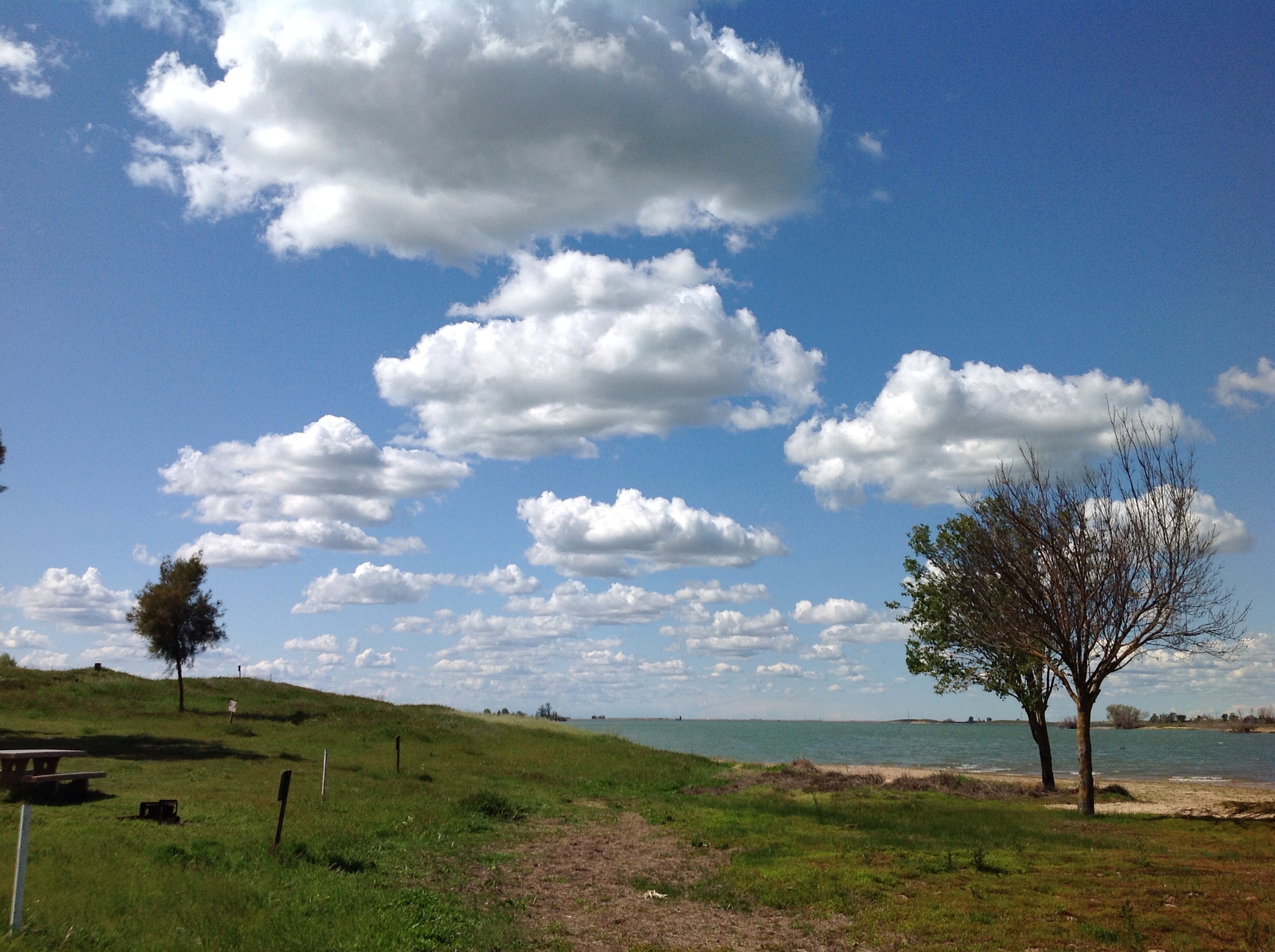
Valley Stroll
On the way home from
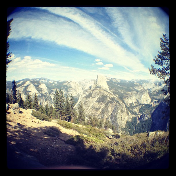
Islands In The Sky

IMAG2281-01
IMG_3374-a19

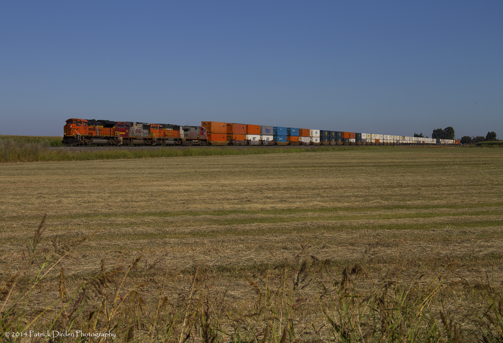
Can you see the little tiny cows out there? This is what 90 miles east of Oakland looks like.

California wild flowers
P1010404.JPG

egret on winter pond

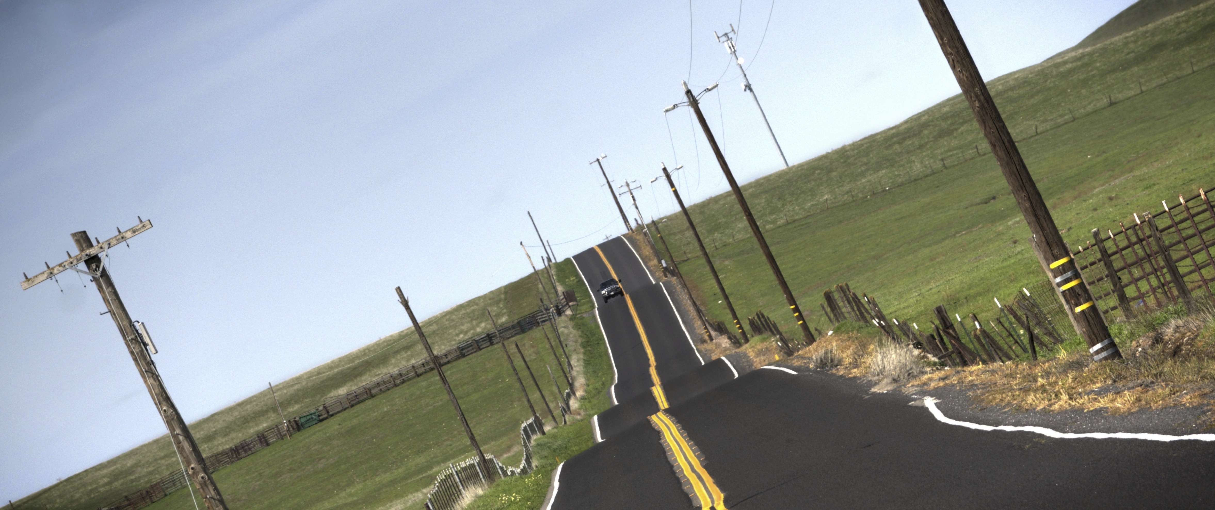
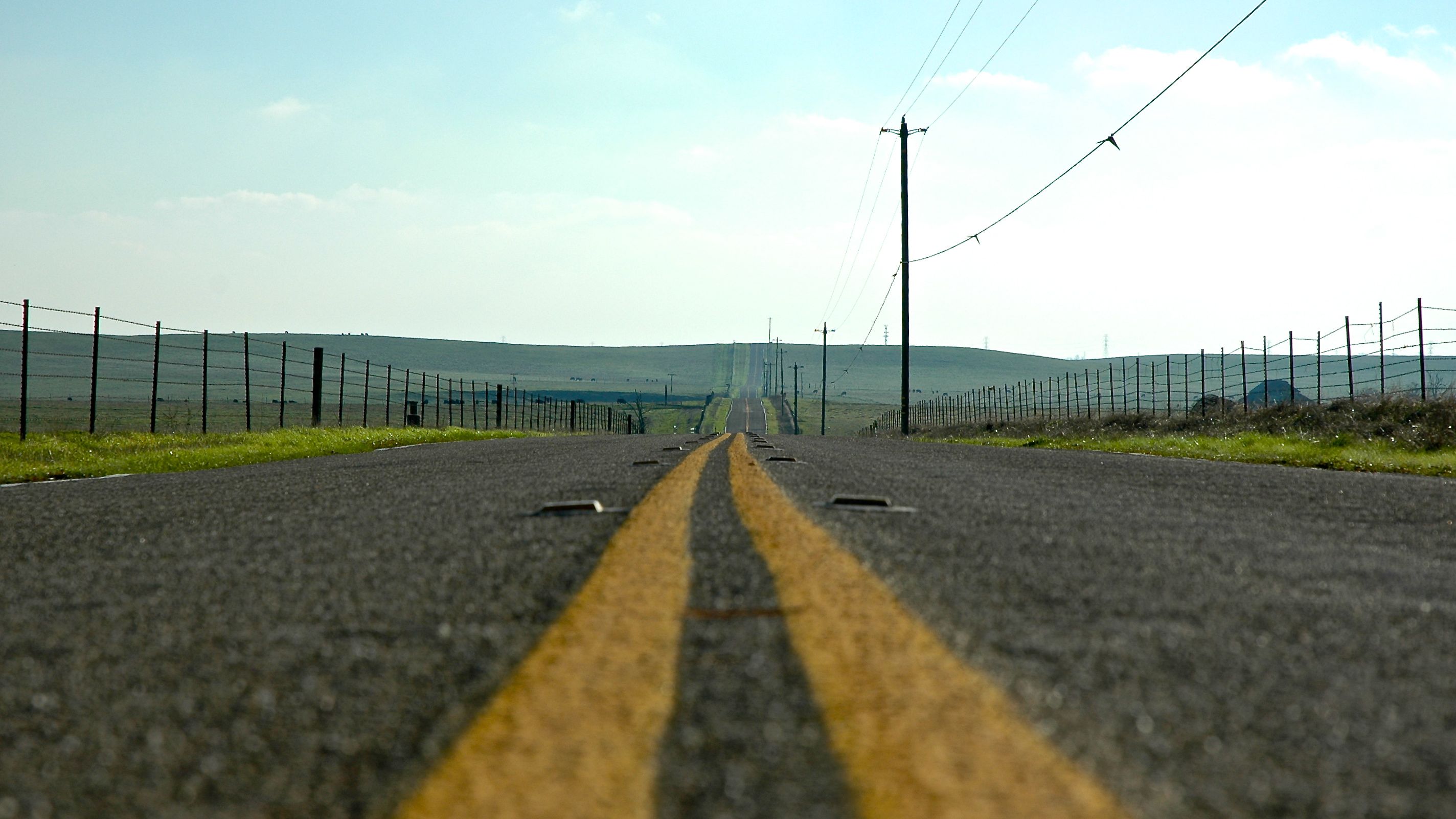
Along Highway 108

Riverbank, CA by GraphiczBoy

high school football #sunset #sky #russellreno #riverbank #riverbank #igers #instahot #instagood #instamood #instadaily ##love
DSC_0056-1

Sunrise and Oaktree

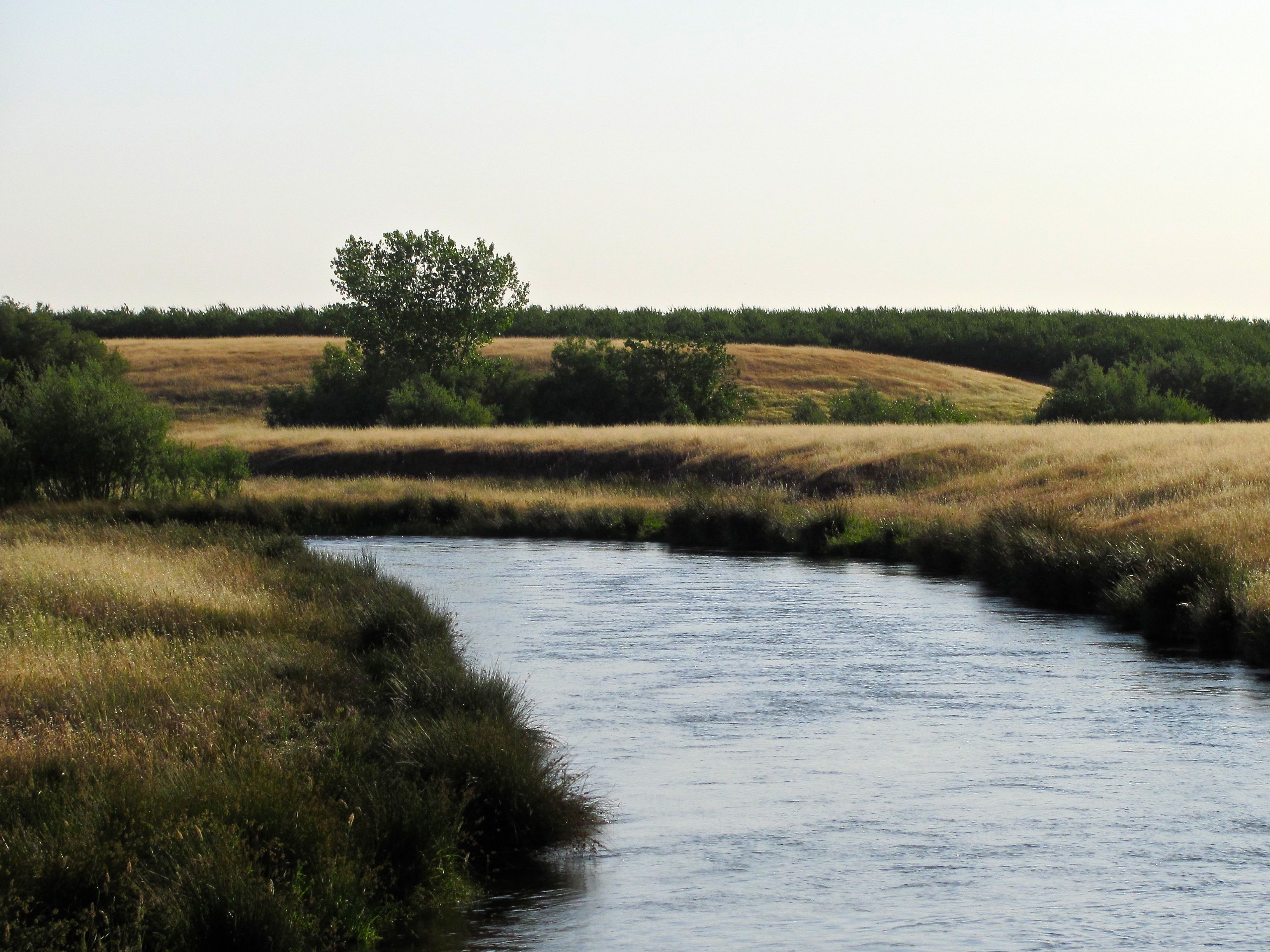
farmington oats

Two Lips to the Sun

Oakdale Sunset

oats and sky
Topographic Map of Schultz Rd, Oakdale, CA, USA
Find elevation by address:

Places near Schultz Rd, Oakdale, CA, USA:
Valley Home
12225 Rancheria Dr
Knights Ferry
Sonora Rd, Oakdale, CA, USA
2489 Sulkey Ct
1604 Horseshoe Ln
Horseshoe Lane
Bow Dr, Copperopolis, CA, USA
1829 Sawmill Rd
1590 Sawmill Rd
1770 Sawmill Rd
2945 Beaver St
3269 Yana Ct
1677 Cheyenne Rd
1621 Cheyenne Rd
3336 Arrowhead St
2384 Cheyenne Rd
2214 Cheyenne Rd
2262 Cheyenne Rd
2532 Cheyenne Rd
Recent Searches:
- Elevation of 2881, Chabot Drive, San Bruno, San Mateo County, California, 94066, USA
- Elevation of 10370, West 107th Circle, Westminster, Jefferson County, Colorado, 80021, USA
- Elevation of 611, Roman Road, Old Ford, Bow, London, England, E3 2RW, United Kingdom
- Elevation of 116, Beartown Road, Underhill, Chittenden County, Vermont, 05489, USA
- Elevation of Window Rock, Colfax County, New Mexico, 87714, USA
- Elevation of 4807, Rosecroft Street, Kempsville Gardens, Virginia Beach, Virginia, 23464, USA
- Elevation map of Matawinie, Quebec, Canada
- Elevation of Sainte-Émélie-de-l'Énergie, Matawinie, Quebec, Canada
- Elevation of Rue du Pont, Sainte-Émélie-de-l'Énergie, Matawinie, Quebec, J0K2K0, Canada
- Elevation of 8, Rue de Bécancour, Blainville, Thérèse-De Blainville, Quebec, J7B1N2, Canada
- Elevation of Wilmot Court North, 163, University Avenue West, Northdale, Waterloo, Region of Waterloo, Ontario, N2L6B6, Canada
- Elevation map of Panamá Province, Panama
- Elevation of Balboa, Panamá Province, Panama
- Elevation of San Miguel, Balboa, Panamá Province, Panama
- Elevation of Isla Gibraleón, San Miguel, Balboa, Panamá Province, Panama
- Elevation of 4655, Krischke Road, Schulenburg, Fayette County, Texas, 78956, USA
- Elevation of Carnegie Avenue, Downtown Cleveland, Cleveland, Cuyahoga County, Ohio, 44115, USA
- Elevation of Walhonding, Coshocton County, Ohio, USA
- Elevation of Clifton Down, Clifton, Bristol, City of Bristol, England, BS8 3HU, United Kingdom
- Elevation map of Auvergne-Rhône-Alpes, France