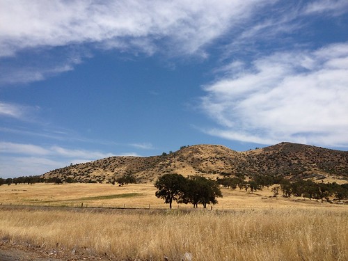
Elevation of Cheyenne Rd, Copperopolis, CA, USA

Location: United States > California > Calaveras County > Copperopolis >

Longitude: -120.62991

Latitude: 37.9441599

Elevation: 227m / 745feet

Barometric Pressure: 99KPa

Elevation Map:

elevation map of Cheyenne Rd, Copperopolis, CA, USA

Satellite Map:

Satellite map of Cheyenne Rd, Copperopolis, CA, USA

Related Photos:

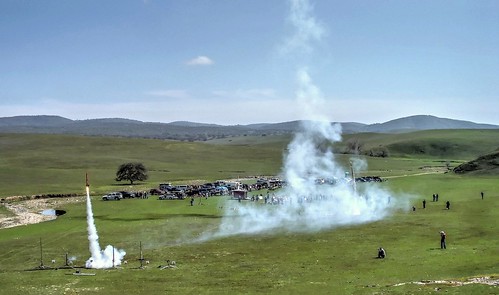
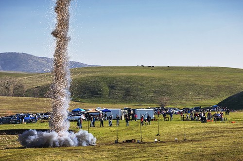
california hobby rocket fav30 roar lunar hdr nationalgeographic dscw1 rocketlaunch modelrocket snowranch photomatix 1xp telegraphcity
Wrooooaaarrr, off they go...
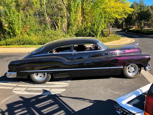
dynaflow torpedo supersedan 1950 vroom beauty flames custom goldcountry rural scenic landscape dailydriver hotrod black auto classic car vintage passenger dog driveby meanstreetsofangelscamp buick hotwheels street view trees special jetback driving
Doggie in the Window
sonora canon grotto 1740mm hdr tablemountain crag 40d
Best When Unexpected
Day 271: Knight's Ferry
panoramique mon ©mon canon sigma knightsferry stanislausriver coveredbridge historicsite panoramic panorama bridge hillside landscape mill ca uphigh knightsferrybridge
Panoramic: Knights Ferry
bridge lake water twilight 2010 fisheyelens waterscape route49 ca395 april2010 donpedroresevoir ca395roadtrip
Lake Views
bridge lake water twilight 2010 fisheyelens waterscape route49 ca395 april2010 donpedroresevoir ca395roadtrip
Lake Views
bridge bw lake water twilight 2010 fisheyelens waterscape route49 ca395 april2010 donpedroresevoir ca395roadtrip
Lake Views
california old usa metal america vintage golden shiny unitedstates cashregister mercantile angelscamp
Est. 1860
lake water twilight 2010 waterscape route49 ca395 april2010 donpedroresevoir ca395roadtrip
Lake Views
bridge lake water twilight 2010 waterscape route49 ca395 april2010 donpedroresevoir ca395roadtrip
Lake Views
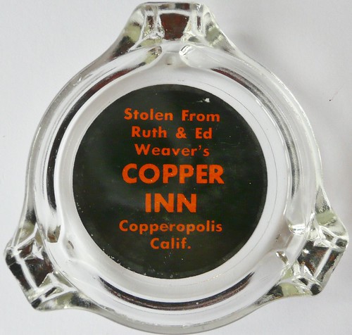
california glass bar advertising restaurant lounge cocktail ashtray copperopolis copperinn thecopperinn
THE COPPER INN COPPEROPOLIS CALIF
panoramique knightsferry panoramic panorama mon ©mon landscape bridge coveredbridge historicsite river historicbridge stanislausriver path hiking trail hillside
Panoramic: Knights Ferry
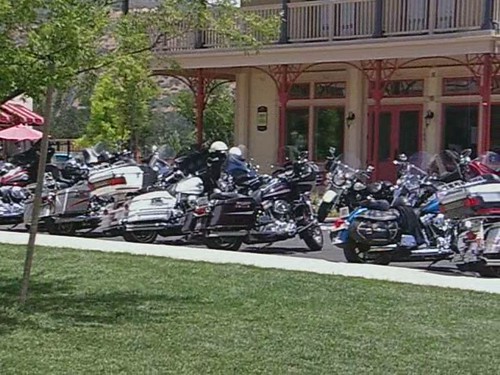
run poker 2009 amador copperopolis
Amador Poker Run Panoramic View
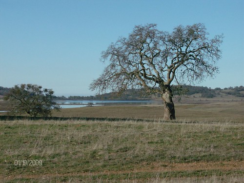
Salt Spring Valley Oak View
california ca triptoyosemite
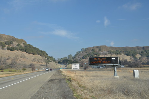
Trip to Yosemite 018
Lake Tulloch Bridge panorama_Copperopolis and Jamestown, California
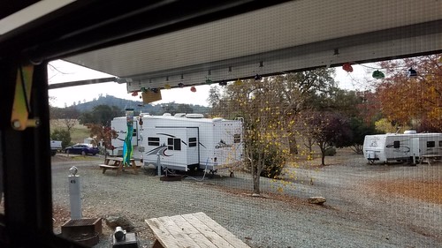
2017 Thanksgiving Weekend Campout
camping
Campout in Angels Camp, CA
america blm landscape nature outdoor summer territory travel us usterritory usa view west westcoast yosemite2015 adventure american americanize backpack backpacker backpacking bureauoflandmanagement camping canyons carved clouds coast coastal create cropframe d3200 dome dslr explore exploring glaciers glass global globe globetrotters granite hiking international lakes moon nationalpark natural nikon nikond3200 optics photography professional roadtrip roadtripping spring statepark stone teamnikon traveling valley views wanderlust
2015-Jun-30-Yosemite-7.jpg
america blm landscape nature outdoor summer territory travel us usterritory usa view west westcoast yosemite2015 adventure american americanize backpack backpacker backpacking bureauoflandmanagement camping canyons carved clouds coast coastal create cropframe d3200 dome dslr explore exploring glaciers glass global globe globetrotters granite hiking international lakes nationalpark natural nikon nikond3200 optics photography professional roadtrip roadtripping spring statepark stone teamnikon traveling valley views wanderlust
2015-Jun-30-Yosemite-1.jpg
california camp raw farm smoke rocket launch sparks lunar rocketlaunch modelrocket highpowerrocket snowranch photomatix fav200 1xp telegraphcity nex6 sel55210
Ready to fly?
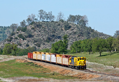
railroad train railway trains local freighttrain sierranorthern seraoakdalebranch sera52 fasslerflyer keystonecalifornia
Sierra Northern Along Highway 108
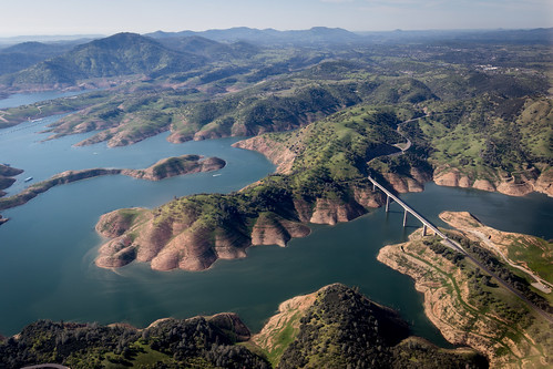
california ca bridge sky cloud lake topf25 fog angel clouds landscape interestingness heaven skies wind cloudy topv999 lakes foggy bridges windy reservoir explore ethereal mystical top100 breeze sierranevada topv9999 magical heavenly f25 28135mm breezy airy top25 highway49 sierranevadamountains calaverascounty top50 stanislausriver newmelones sr49 landscapephotography top500 topvaa 100faves interestingness17 tuolumnecounty i500 specland landscapephotos fivestarsgallery stateroute49 impressedbeauty superaplus landscapephoto goldenphotographer
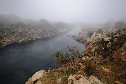
And Then Came The Wind - Highway 49 Bridge Across New Melones Reservoir - Sierra Nevada Mountains, California
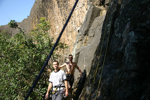
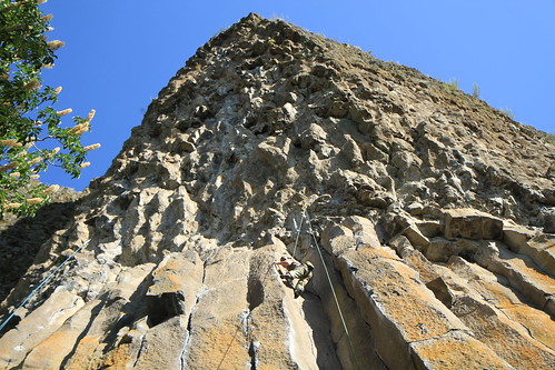
Knights Ferry Bridge and Stanislaus River
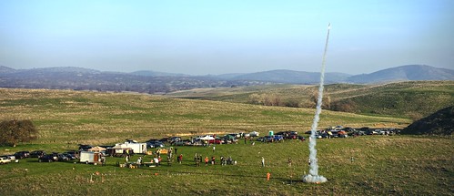
farmington snowranch california northerncalifornia rocket rocketlaunch corkrocket rocketcamp camp rocketevent farm field hill sky clear day silhouette orange red sony sonya7 a7 a7ii a7mii alpha7mii ilce7m2 fullframe fe2870mmf3556oss 1xp raw photomatix hdr qualityhdr qualityhdrphotography fav100 grass landscape people
Up into the sky I fly
california green water sonora unitedstates centralvalley hetchhetchy snowpack californiawater newmelones cawater cadrought
Central-_Valley_CA_20150308-2838
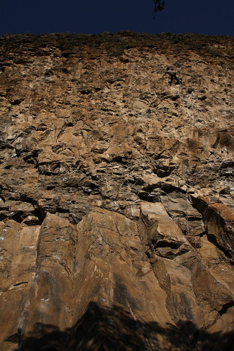
rockclimbing goldwall
20090405_Gold Wall_0528
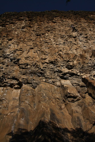
rockclimbing goldwall
20090405_Gold Wall_0529
Melones Lake
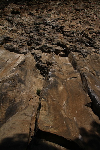
rockclimbing goldwall
20090405_Gold Wall_0391
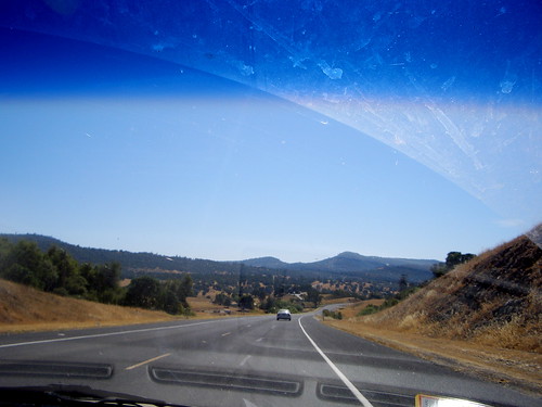
angelscamp
leaving angels camp
rockclimbing goldwall
20090405_Gold Wall_0586
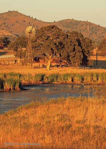
california windmill vintage pond unitedstates antique northamerica agriculture oaktree motherlode tule tuolumnecounty canoneos50d keystoneca
Windmill and Oak Tree, Keystone, CA
rockclimbing thegrotto
20100619_The Grotto_0025
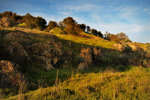
blue trees sky sunlight nature grass landscape nikon rocks d300 knightsferry nikoncapturenx keithwerner paintshopproxii
Rock Outcropping
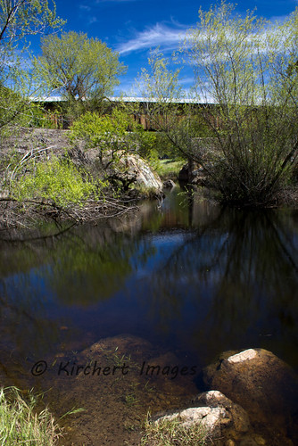
mist nature water fog river landscape nikon d300 knightsferry keithwerner
Stanislaus River -Covered Bridge in Fog
goldwallca
Gold Wall 201
rockclimbing thegrotto
20100619_The Grotto_0160
Stanislaus River
landscape southwestern
Southwestern Landscape