Elevation of Schoone Oordt Country House, 1 Swellengrebel St, Swellendam, South Africa

Location: South Africa > Western Cape > Overberg District Municipality > Barrydale > Swellendam >

Longitude: 20.4497013

Latitude: -34.016162

Elevation: 151m / 495feet

Barometric Pressure: 100KPa

Elevation Map:

elevation map of Schoone Oordt Country House, 1 Swellengrebel St, Swellendam, South Africa

Satellite Map:

Satellite map of Schoone Oordt Country House, 1 Swellengrebel St, Swellendam, South Africa

Related Photos:

africa sunset mountain man mountains nature walking southafrica evening healthy view natural outdoor hiking path walk bruce hill hike hills health naturereserve cape hiker westerncape swellendam naturalist theoverberg marlothnaturereserve theplaat
Sunset from The Plaat above Swellendam
africa friends summer holiday sunshine clouds southafrica afternoon view cloudy farm capetown farmland swellendam langeberg
View from Andrew's place
africa cape banner nature day south waving icon modern national ocean african sky patriotism isolated design coastal white view freedom zebra durban landscape sunset wild city people background vector sign aerial safari town texture culture flag blue symbol silhouette beautiful travel mammal johannesburg park wildlife green illustration tourism nation country
Green Grass Landscape
southafrica atelier westerncape swellendam overberg
View over Swellendam
africa street winter sky holiday tree green southafrica town view weekend country tall bud cypresstree countrylife swellendam overberg countryliving weekendaway cypresscottage
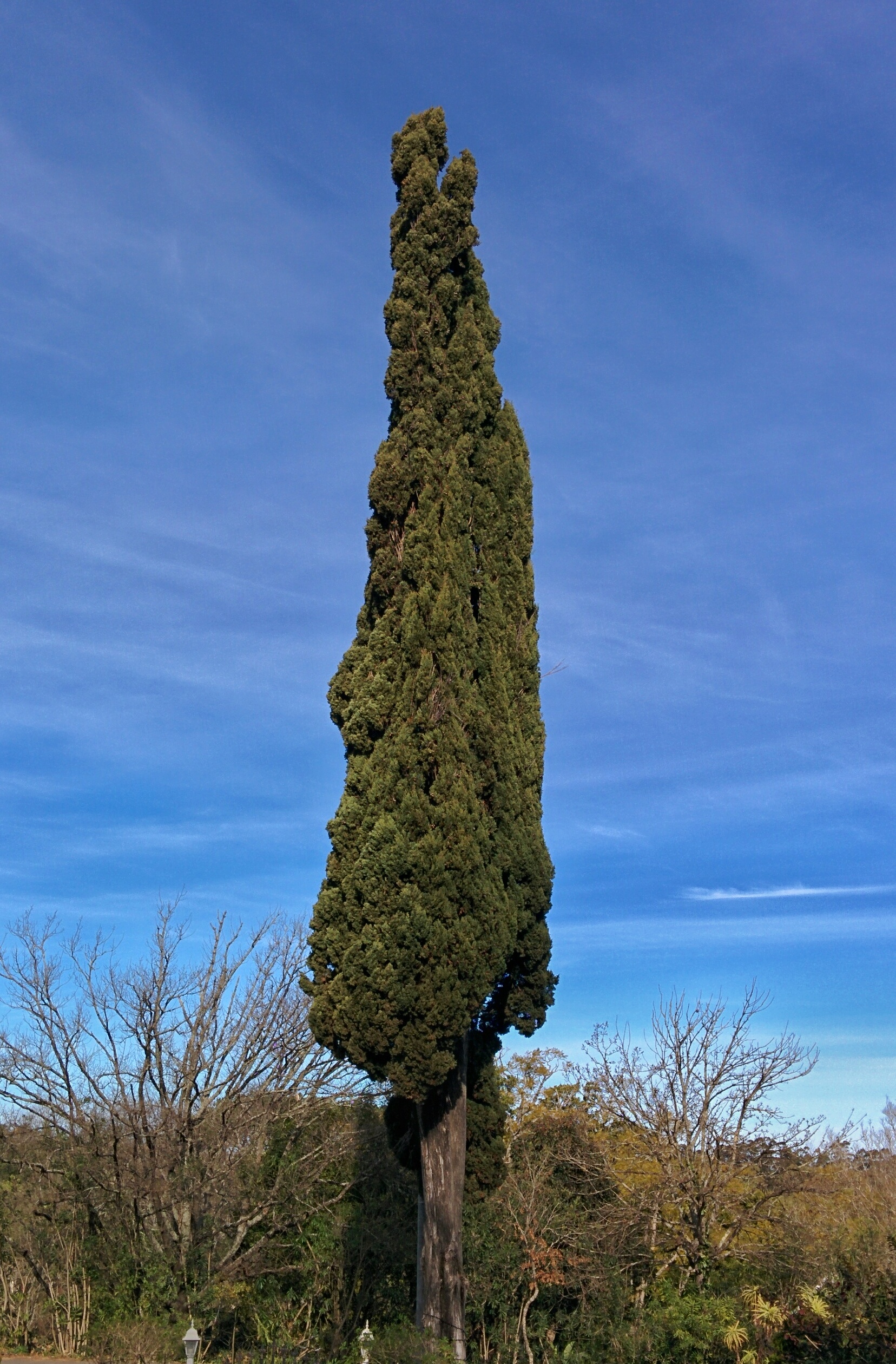
Cypress Tree in Swellendam
africa blackandwhite bw mountains nature john southafrica outdoors view natural hiking path african bruce peak hike trail valley pinnacle countrylife hikingtrail swellendam overberg mountainrange countryliving mountainpeak langeberg marlothnaturereserve
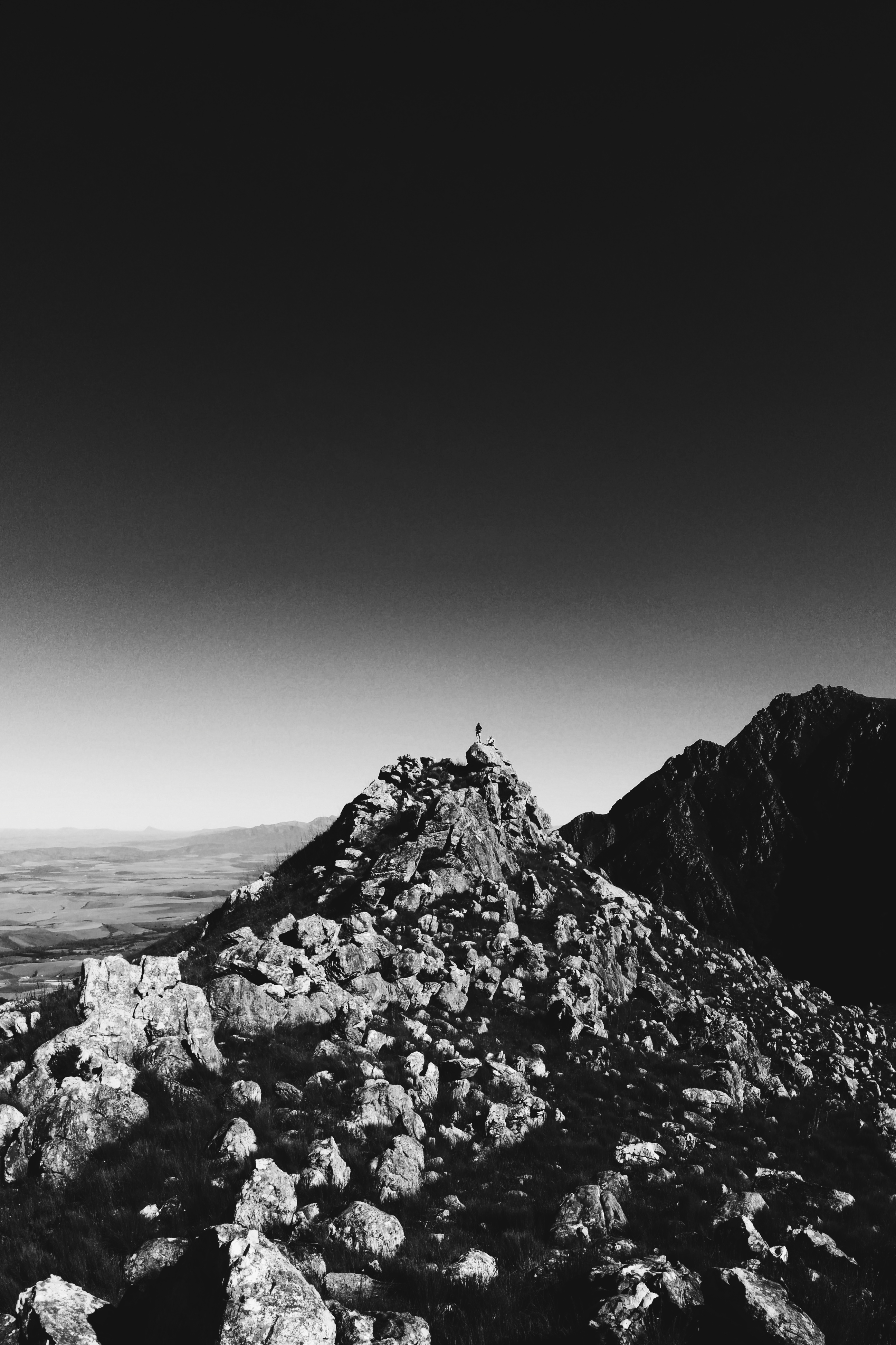
Bruce and John standing on 10 'o Clock peak
square squareformat iphoneography instagramapp uploaded:by=instagram foursquare:venue=4bd76154304fce729b7a33ab
Not a bad view to wake up to...
grass color russia nature water land beauty lake background holiday sea morning summer ocean tree sky sunlight yellow carpathian white view outdoors sunrise winter season cloud beautiful mountains horizon vintage rural evening vacation clouds park sun blue idyllic scenery ukraine travel forest sunset landscapes landscape green outdoor valley environment mountain
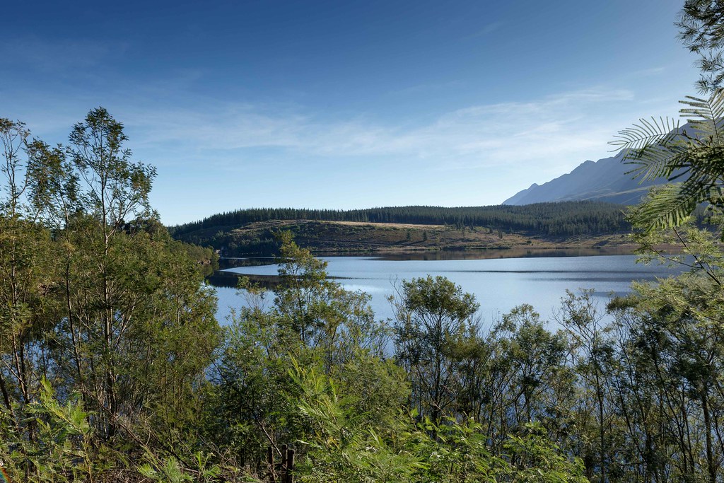
Wide Lake with green trees a typical Landscape of South Africa
2016 clockpeaks hike hiking langeberg langeberge marloth mountain southafrica swellendam trail twaalfuur twaalfuurkop westerncape
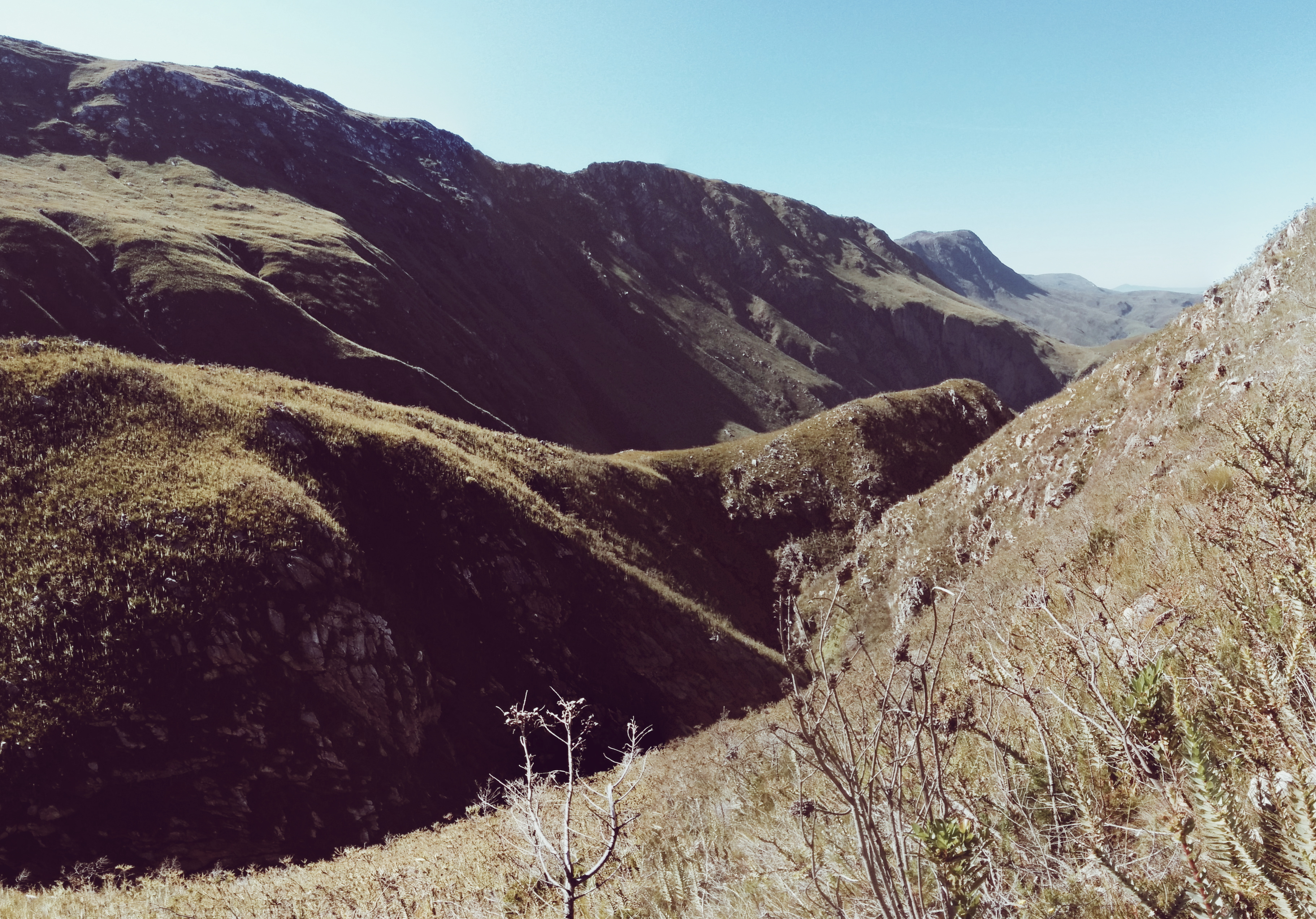
View from Twaalfuurkop
square squareformat iphoneography instagramapp uploaded:by=instagram
Back home for a quick visit - late afternoon view from behind my dad's house of the Langeberge with 12-uur kop ("12 o'clock peak") seemingly having a puff #iphoneography #hometown #mountainview
December Holiday_2012
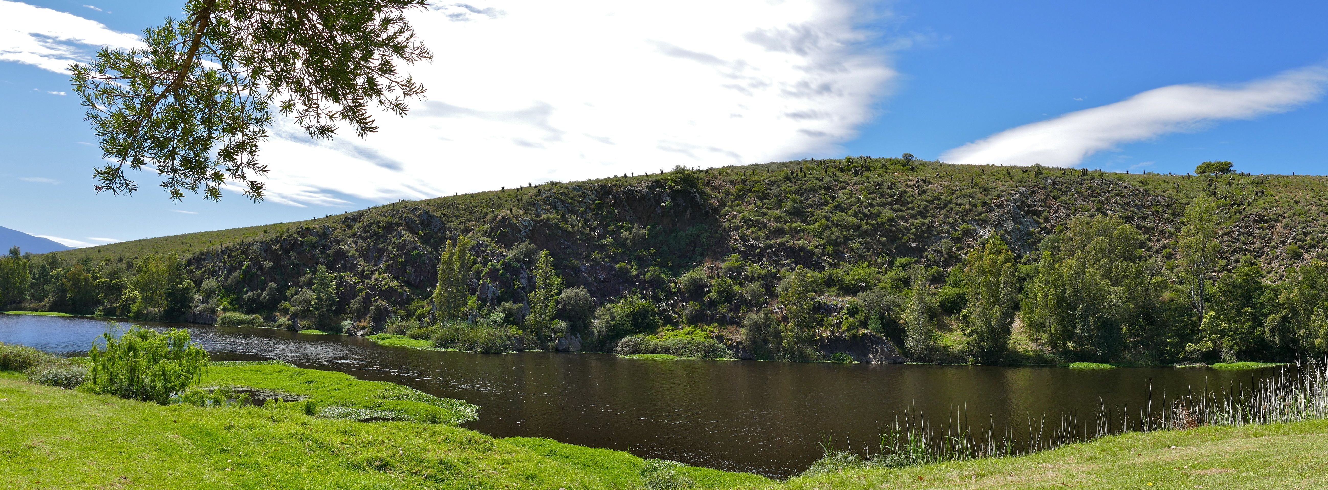
View of Brede River from our deck
park sunrise national cobwebs westerncape bontebok
Bontebok National Park Cobwebs
breederivier
Breede Rivier, Bontebok NP, South Africa
diestroom picnicsite bonteboknp brederiver
Brede River ...
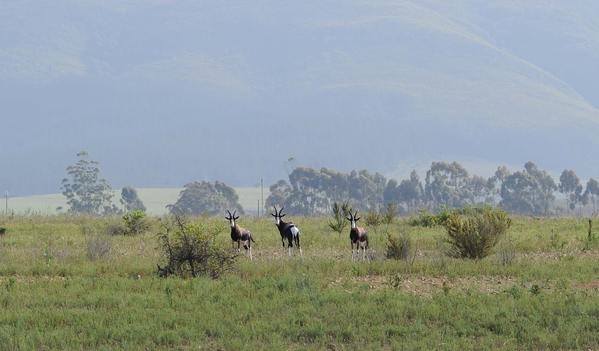
Bontebok National Park, Breede River, South Africa
africa southafrica nikon wildlife sa nationalparks d3 westerncape breederiver sanparks bonteboknationalpark southafricanationalparks
DSC_5648-1
africa southafrica nikon wildlife antelope sa nationalparks westerncape bontebok sanparks bonteboknationalpark southafricanationalparks bontebokantelope
DSC_5524-1
display malebird pintailedwhydah viduamacroura bonteboknationalpark courtshipbehaviour
Pin-tailed whydah display triptych
light nature clouds colorful outdoor valley hdr photomatix canon600d snapseed
Thick clouds over Bontebok NP
southafrica swellendam bonteboknationalpark breederivier nature scenery landscape
Bontebok National Park
light art nature lessismore pseudopainting canon600d brushstrokeapp
Picturesque South Africa
südafrika south africa western cape westkap bontebok national park aloe trail hike hiking wanderung wandern swellendam vera landscape landschaft garden route afrika za rsa canon eos 30d canoneos30d efs 1755 28 is usm canonefs1755f28isusm np voyage travelling reise randonnée randonnee 17 55 walk walking
South Africa - Bontebok National Park
africa autumn trees nature pine forest southafrica outdoors track natural hiking path african hike dirt trail pinetrees forestpath dirttrack countrylife gravelroad pineforest swellendam overberg countryliving forestwalk jeeptrack
Forest Path
sunset sky mountain holiday mountains home church nature clouds walking landscape climb rocks outdoor dusk hiking walk reserve peak hike adventure formation climbing trail fitness fit mountaintop swellendam overberg mountainrange trailrunning marloth theoverberg marlothnaturereserve thelangeberg langeber
Sunset from 10 'o Clock Peak
breederivier
Bontebok National Park Breede Rivier, South Africa
africa mountains nature southafrica outdoors natural hiking path african deep peak hike trail valley serene untouched fynbos countrylife hikingtrail swellendam overberg mountainrange countryliving langeberg marloth marlothnaturereserve boskloof
Boskloof, Swellendam