Elevation of Sanbona Wildlife Reserve, R62, Montagu, South Africa
Location: South Africa > Western Cape > Overberg District Municipality > Barrydale >
Longitude: 20.5283976
Latitude: -33.866866
Elevation: 706m / 2316feet
Barometric Pressure: 93KPa
Elevation Map:
Satellite Map:
Related Photos:

Sunset from The Plaat above Swellendam
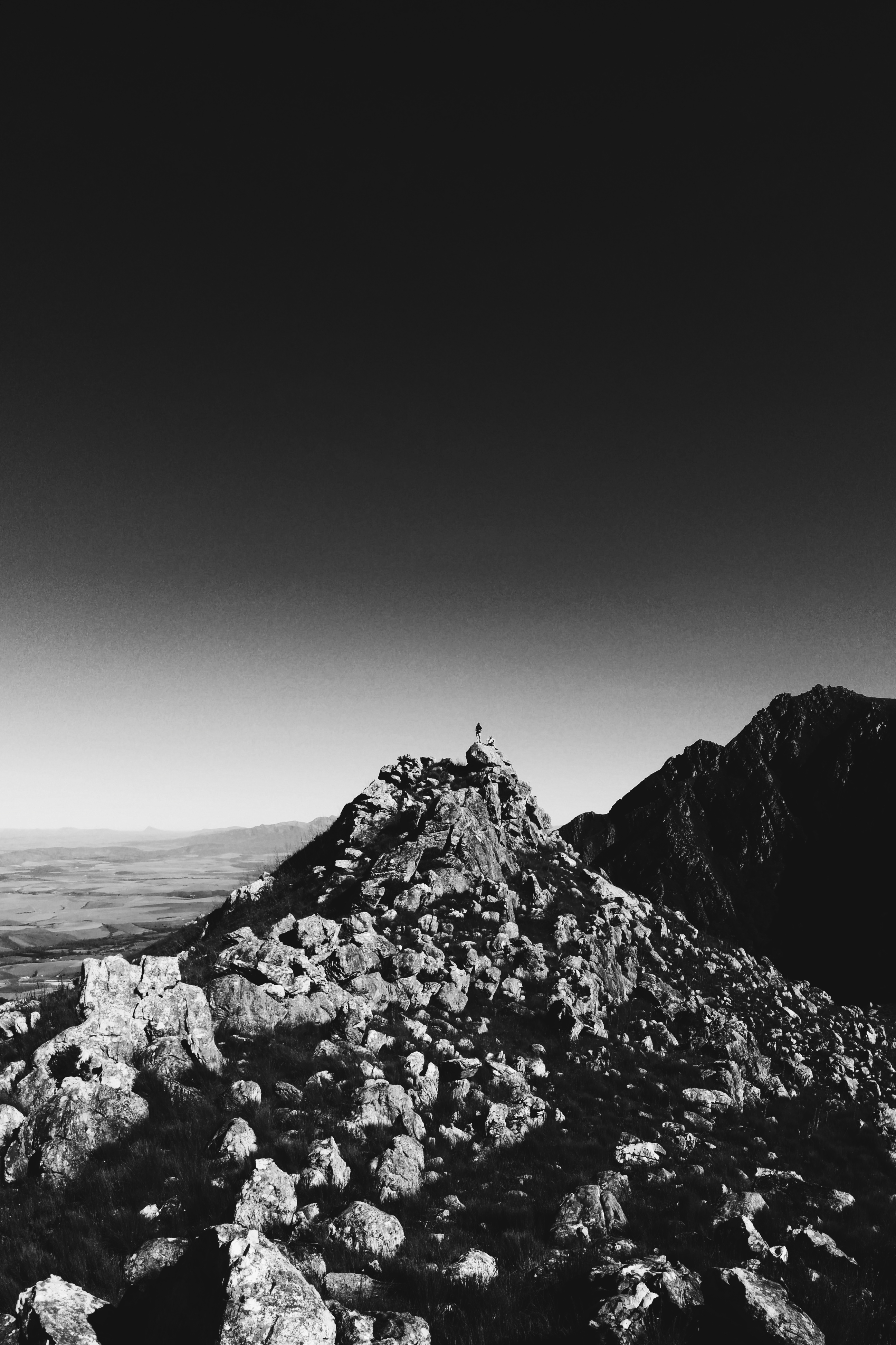
Bruce and John standing on 10 'o Clock peak
Sanbona views-1
Sanbona views-3

View from Room 6 Tilney Manor

Sanbona views-2

View from Twaalfuurkop
Boskloof, Swellendam

Route 63 - Klein Karoo - South Africa

DSC_3574.jpg

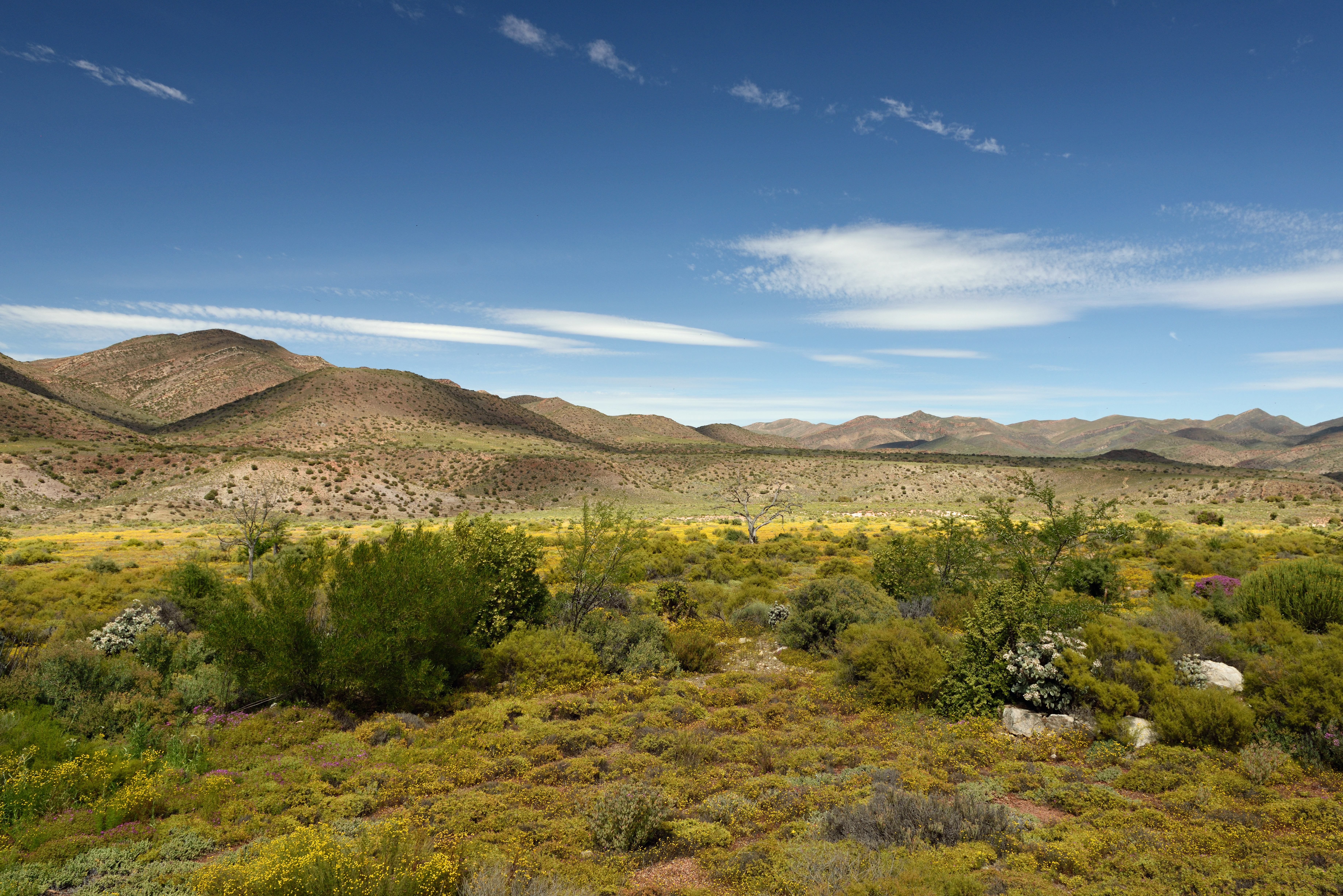
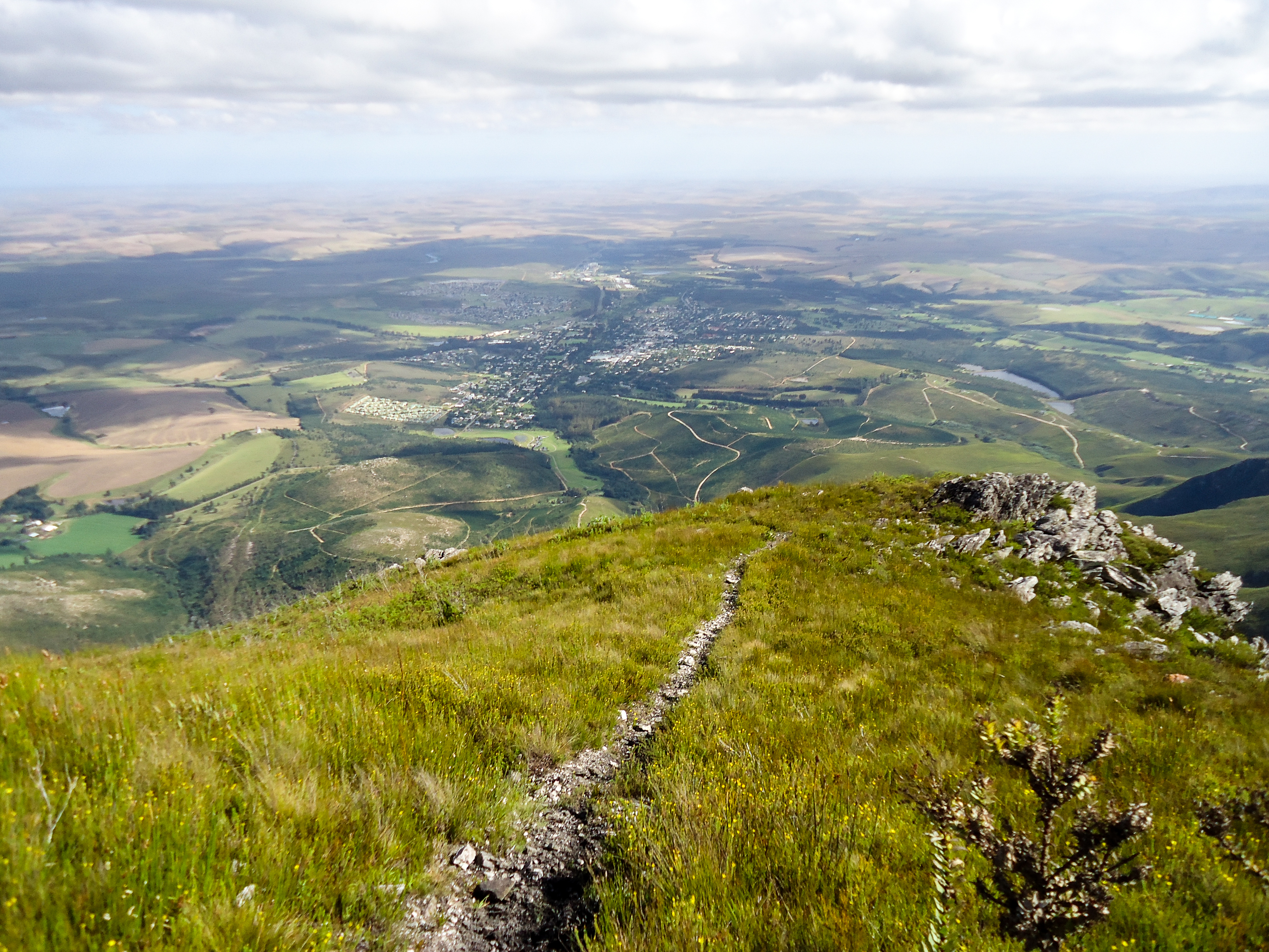
Sanbona landscape

Sunset from 10 'o Clock Peak

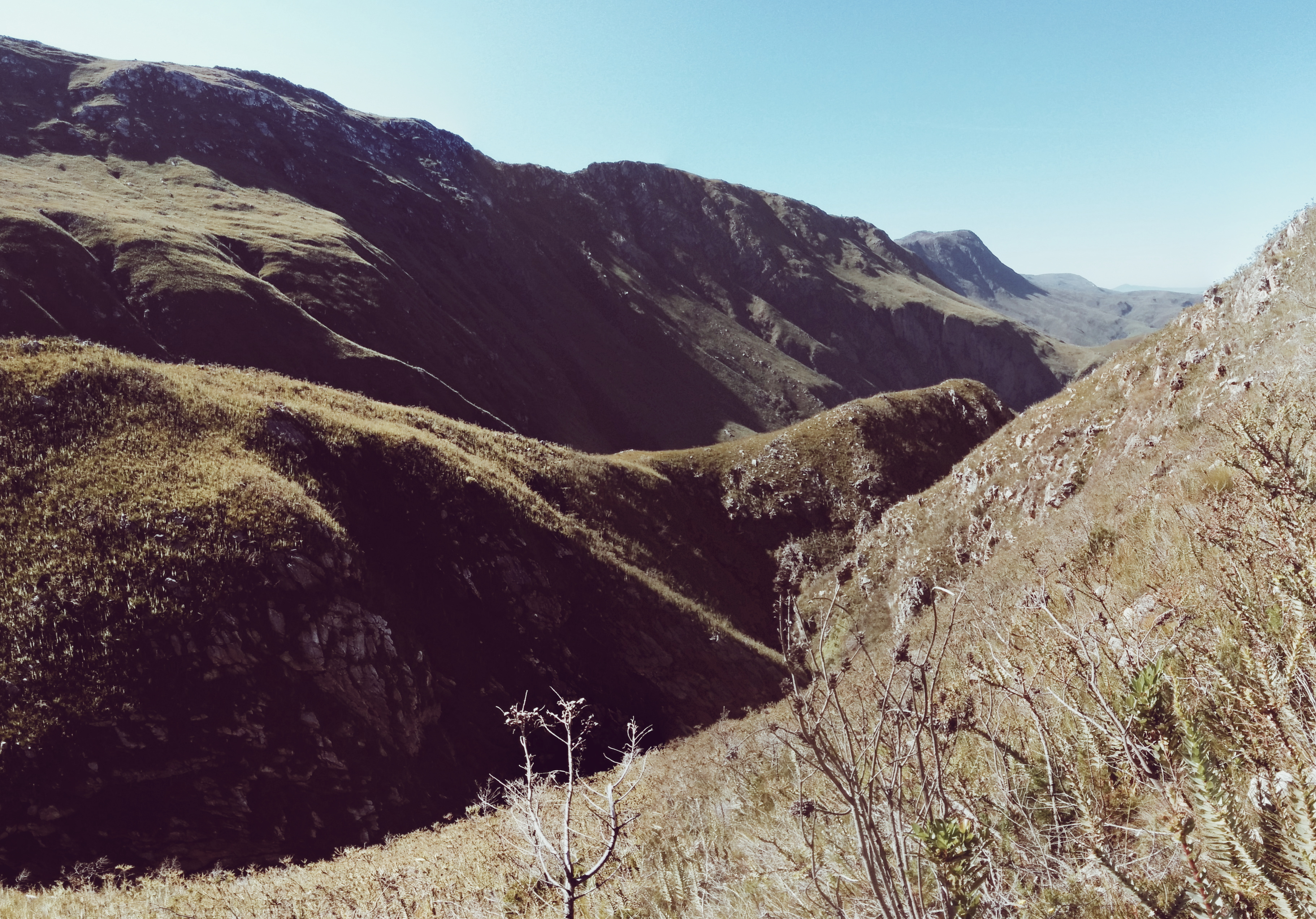
Boskloof Hike

Marloth Preserve

Marloth Preserve

Swellendam's Backyard

Boskloof Hike

Early Morning in Marloth
Boskloof Hike

Boskloof Hike

Boskloof Hike

Bushman Drannings

Twaalfuurkop Summit
Topographic Map of Sanbona Wildlife Reserve, R62, Montagu, South Africa
Find elevation by address:

Places near Sanbona Wildlife Reserve, R62, Montagu, South Africa:
Tienuurkop
Elfuurkop
Twaalfuurkop
Eenuurkop
Schoone Oordt Country House
Swellendam
Swellendam
Barrydale
Barrydale
Barrydale
Milner Street
Heidelberg
Heidelberg - Wc
Ashton
Swart Street
Robertson
Robertson
White Street
66 Barry St
Bredasdorp
Recent Searches:
- Elevation of Corso Fratelli Cairoli, 35, Macerata MC, Italy
- Elevation of Tallevast Rd, Sarasota, FL, USA
- Elevation of 4th St E, Sonoma, CA, USA
- Elevation of Black Hollow Rd, Pennsdale, PA, USA
- Elevation of Oakland Ave, Williamsport, PA, USA
- Elevation of Pedrógão Grande, Portugal
- Elevation of Klee Dr, Martinsburg, WV, USA
- Elevation of Via Roma, Pieranica CR, Italy
- Elevation of Tavkvetili Mountain, Georgia
- Elevation of Hartfords Bluff Cir, Mt Pleasant, SC, USA