Elevation map of Overberg District Municipality, South Africa
Location: South Africa > Western Cape >
Longitude: 19.7591675
Latitude: -34.450502
Elevation: 380m / 1247feet
Barometric Pressure: 97KPa
Elevation Map:
Satellite Map:
Related Photos:
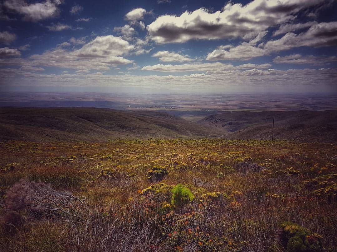
Why we run. View from the top of the mountain. #trailrunning #nature #napier
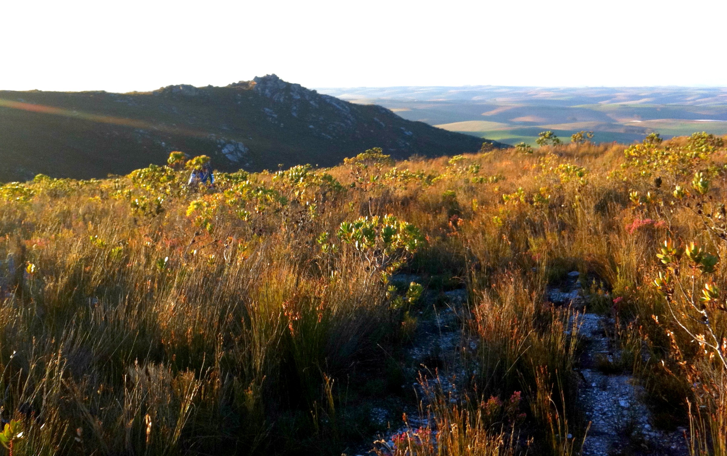
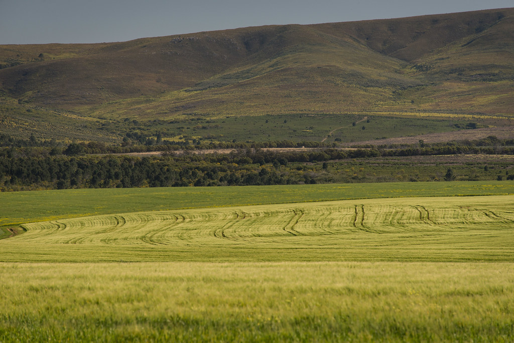
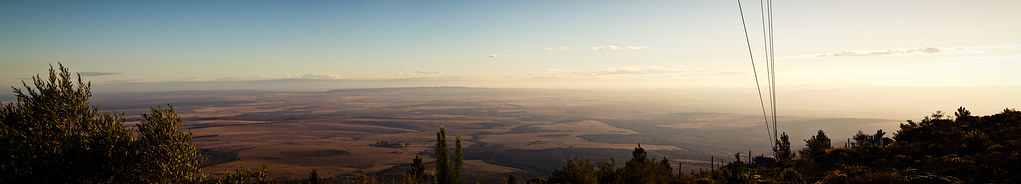
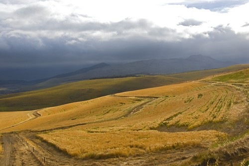
Route wide view
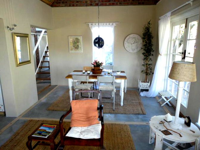
Dining room

The Henhouse the "Secret Garden"

Under stairs

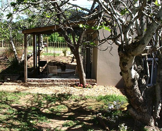
Private Patio

Functional pots
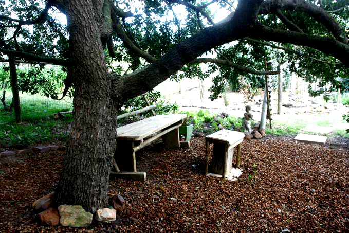
The Henhouse "secret place" seat

The Henhouse self catering accommodation

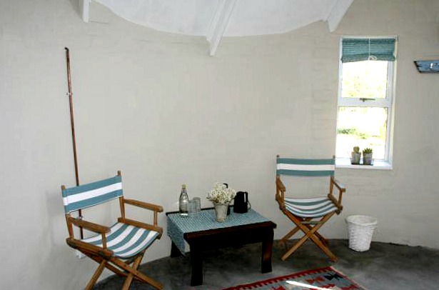
The Henhouse rondavel beds

The Henhouse rondavel seating area
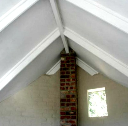
The Henhouse rondavel looking up
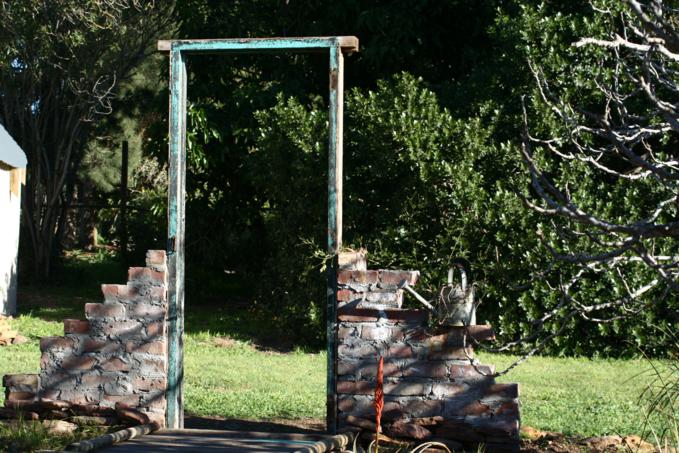
Doorway to the garden

The Henhouse Rondavel
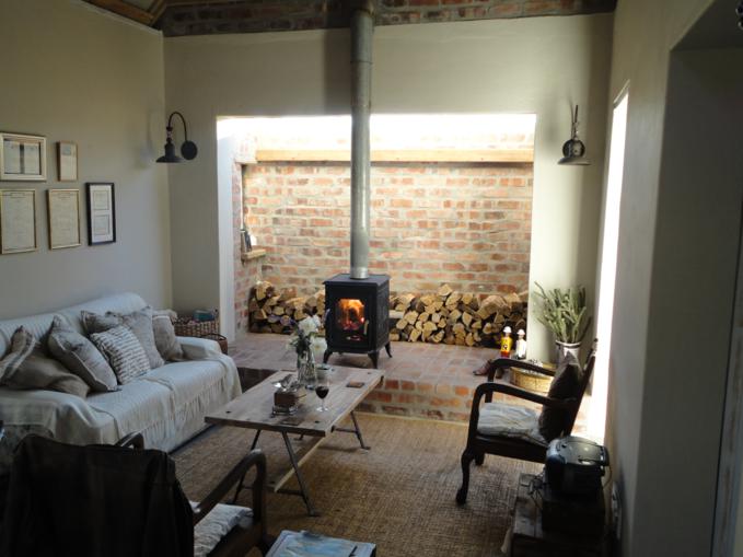
Cosy woodburner fireplace

Stair well
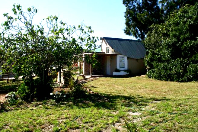
The Henhouse rondavel from road
The Henhouse shadows
The Henhouse rondavel seating
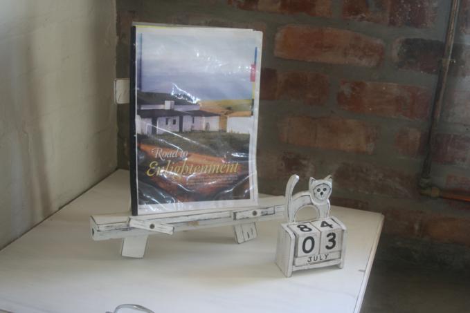
Tourist information
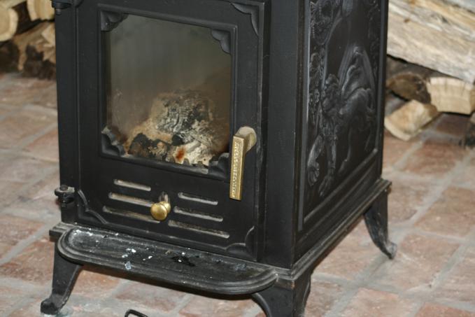
Fireplace detail
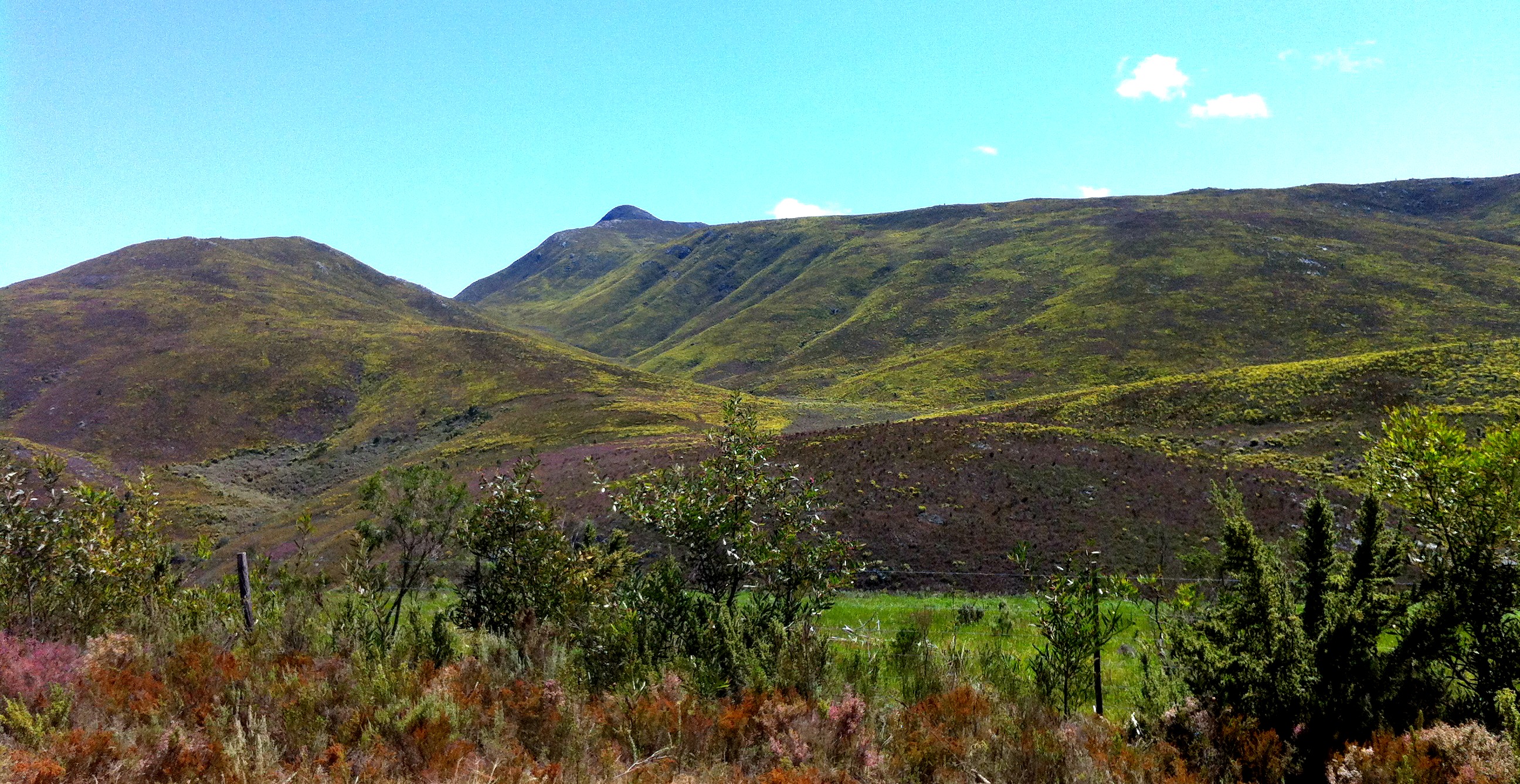
Layers of Africa

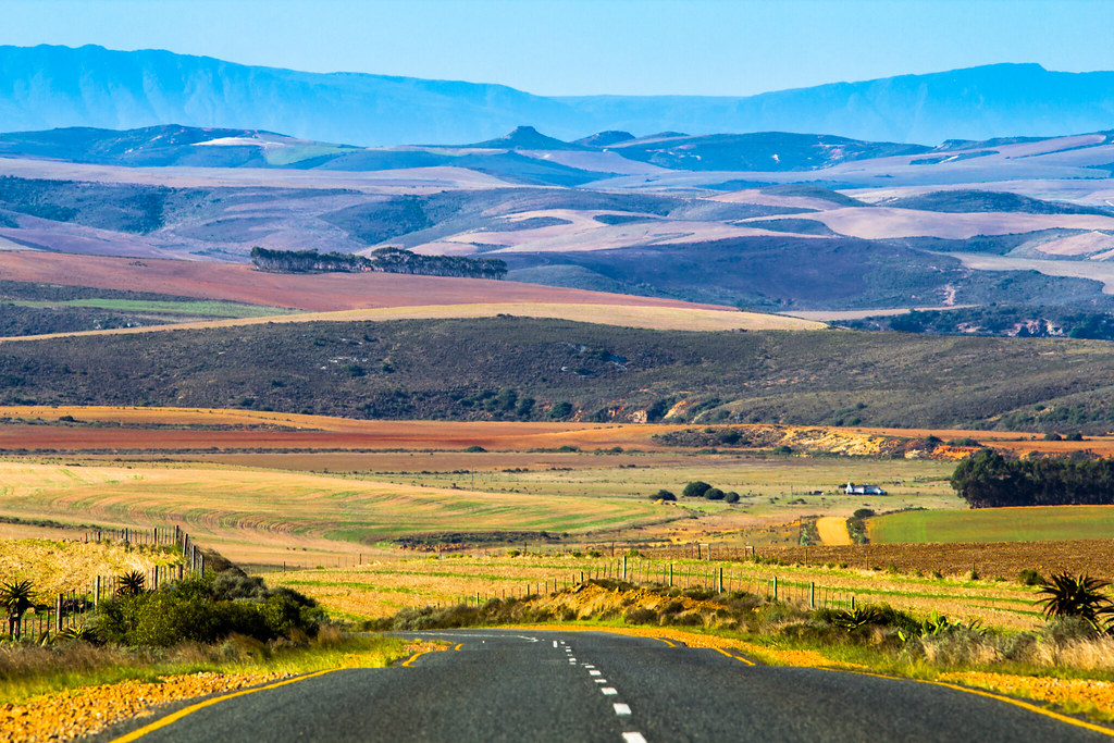
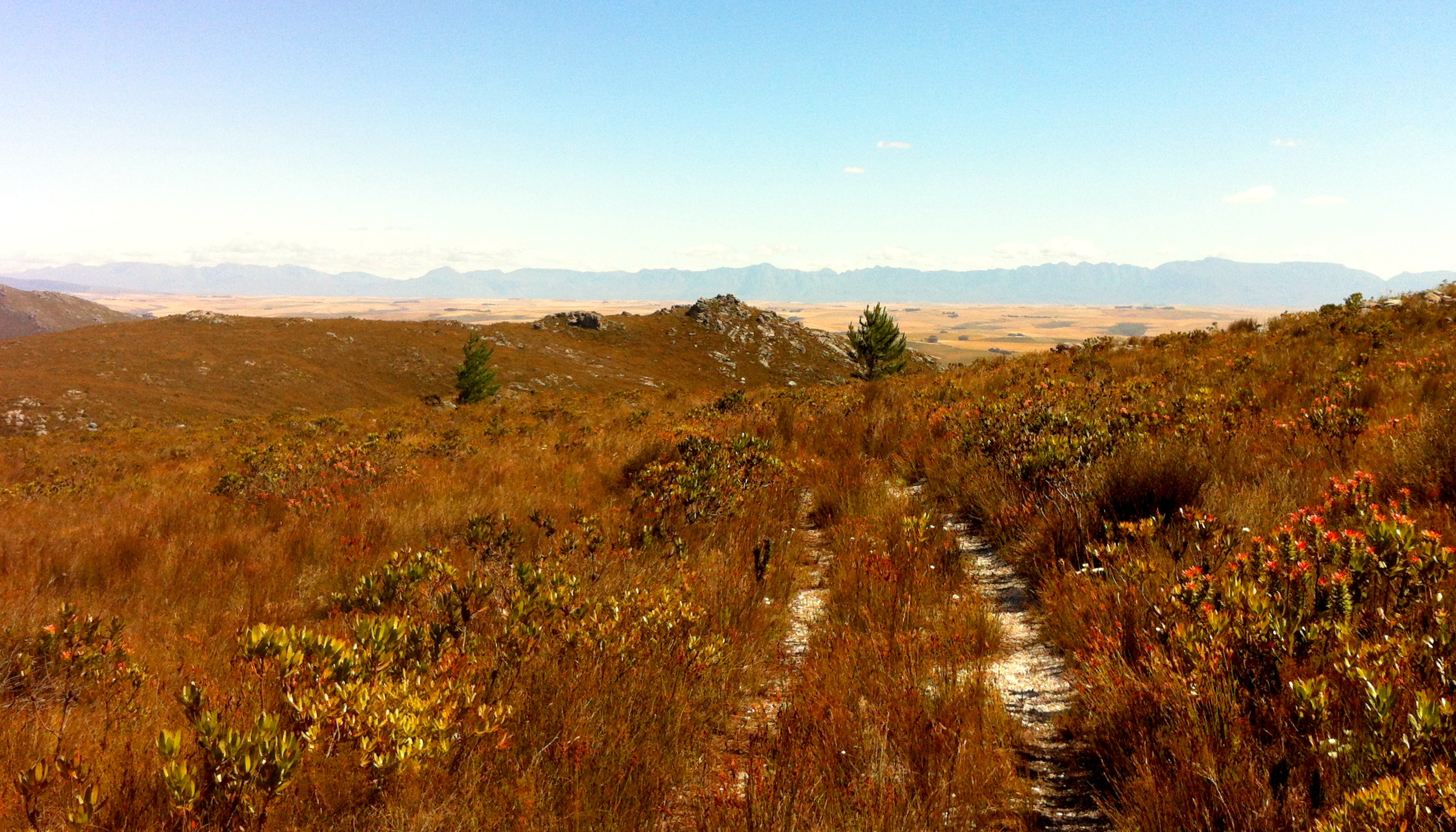
Endless Road
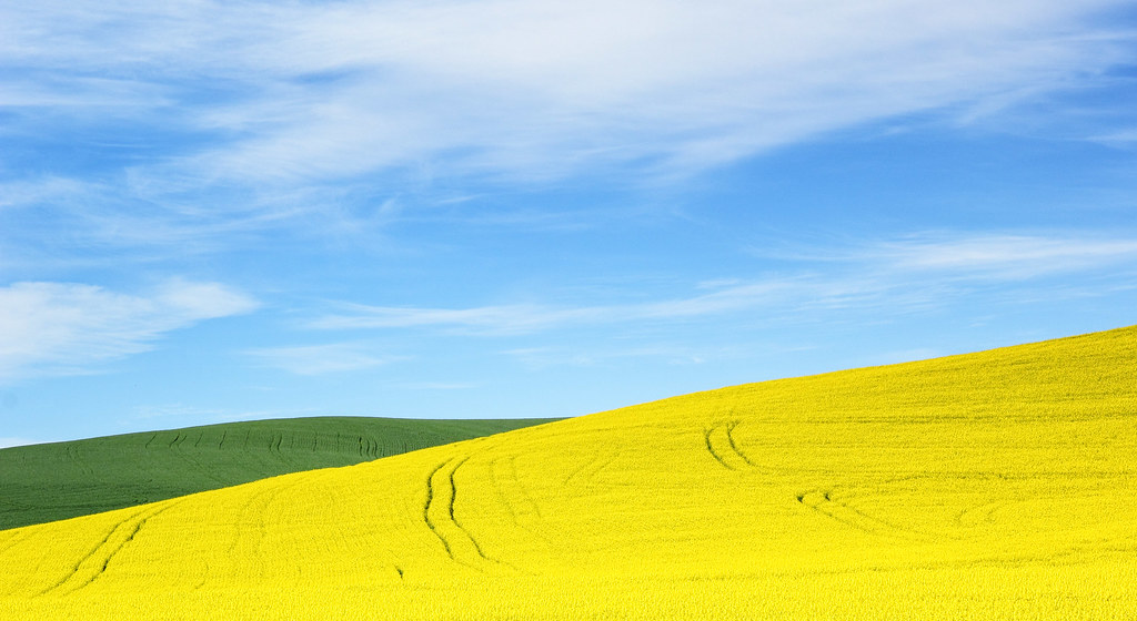
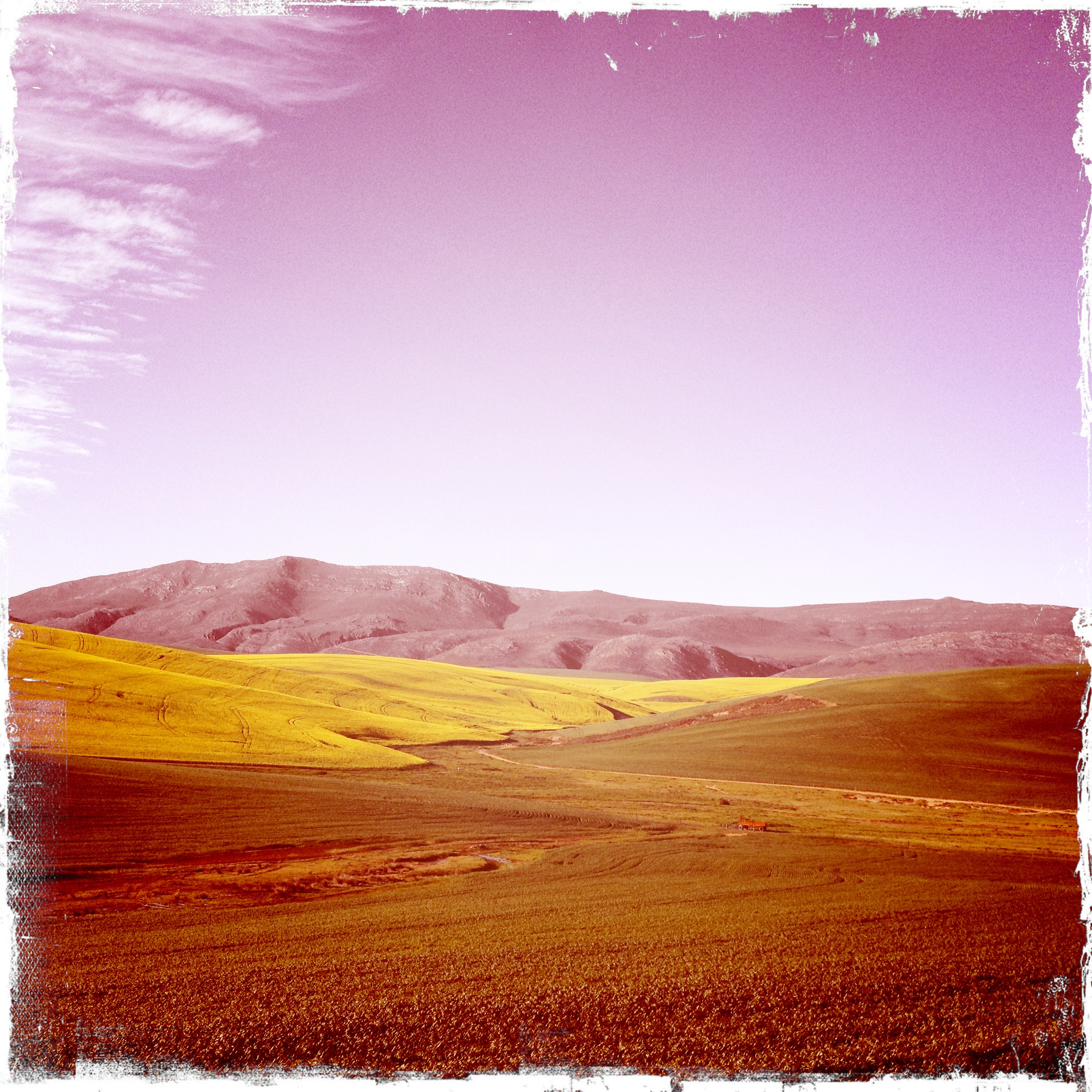
Canola Fields
landskap in die Overberg
South Africa-82
South Africa - Cycling in the Western Cape
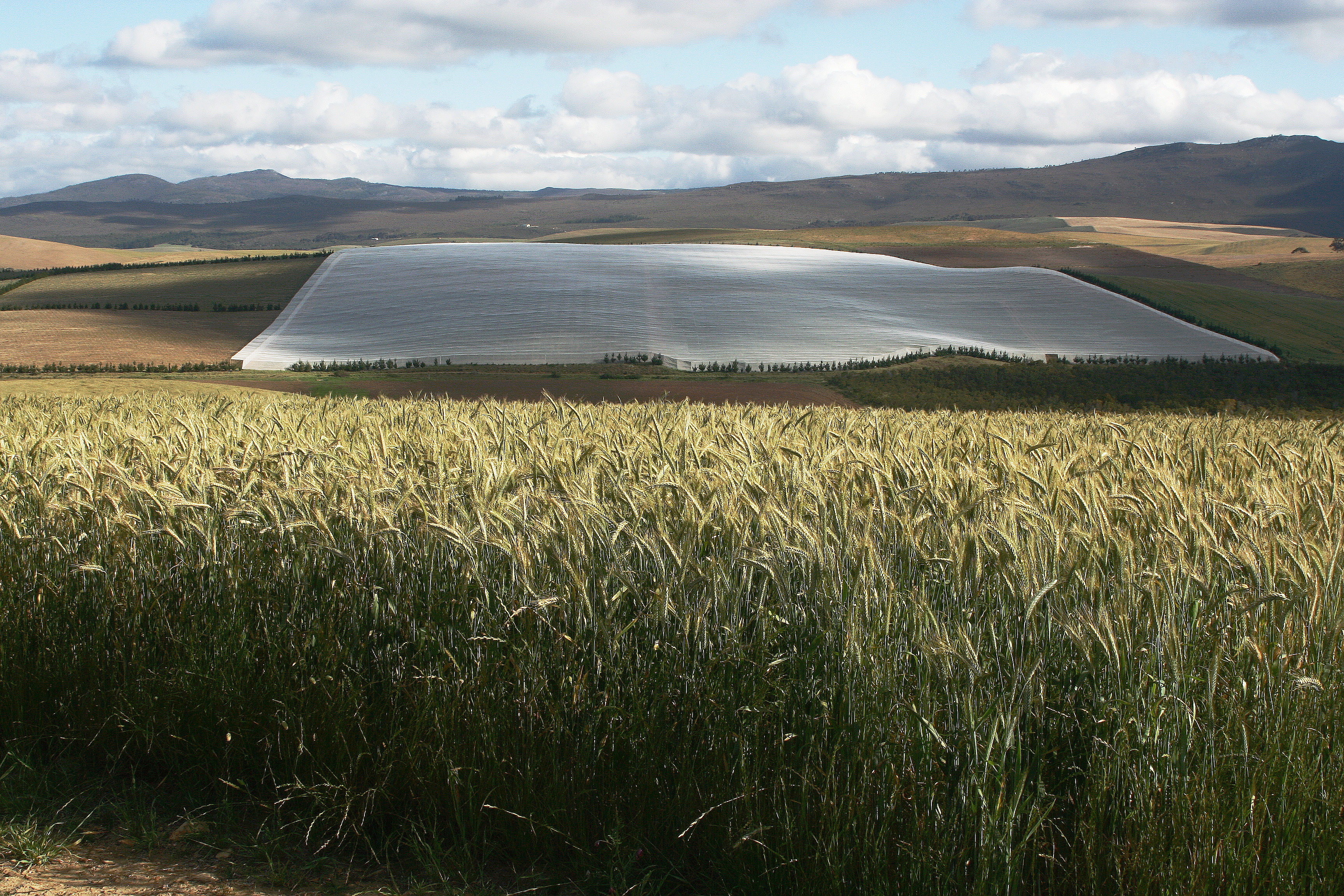
Figs under shade cloth
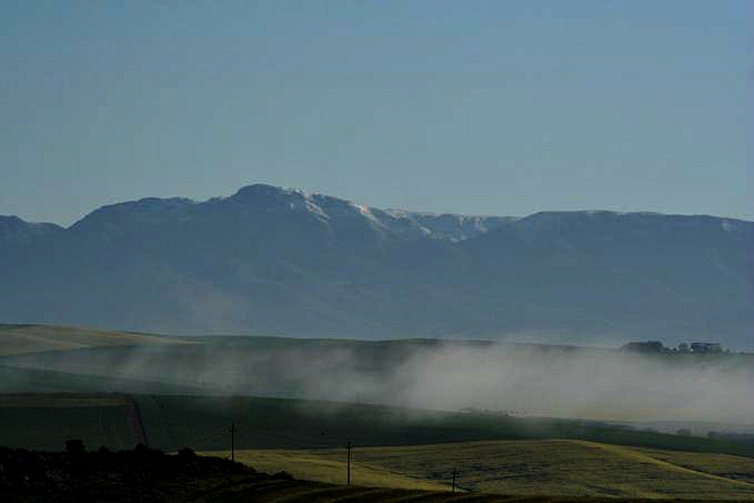
Snow from Monsanto
South Africa - Cycling in the Western Cape
Agulhas Panorama

Wes Kaap scenery
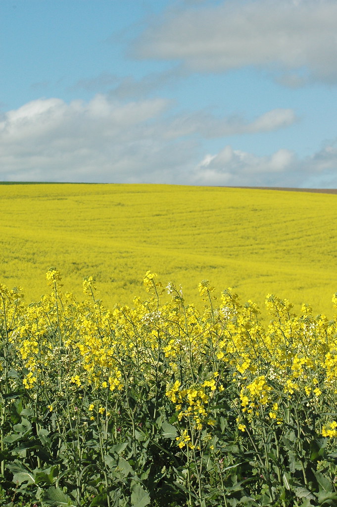
Canola Fields
Route scenery
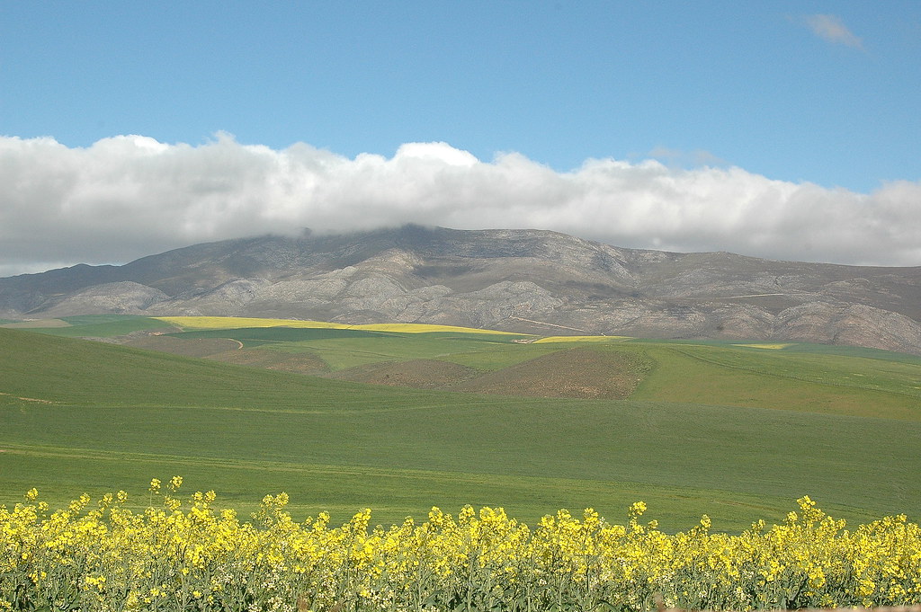
Canola Mountain
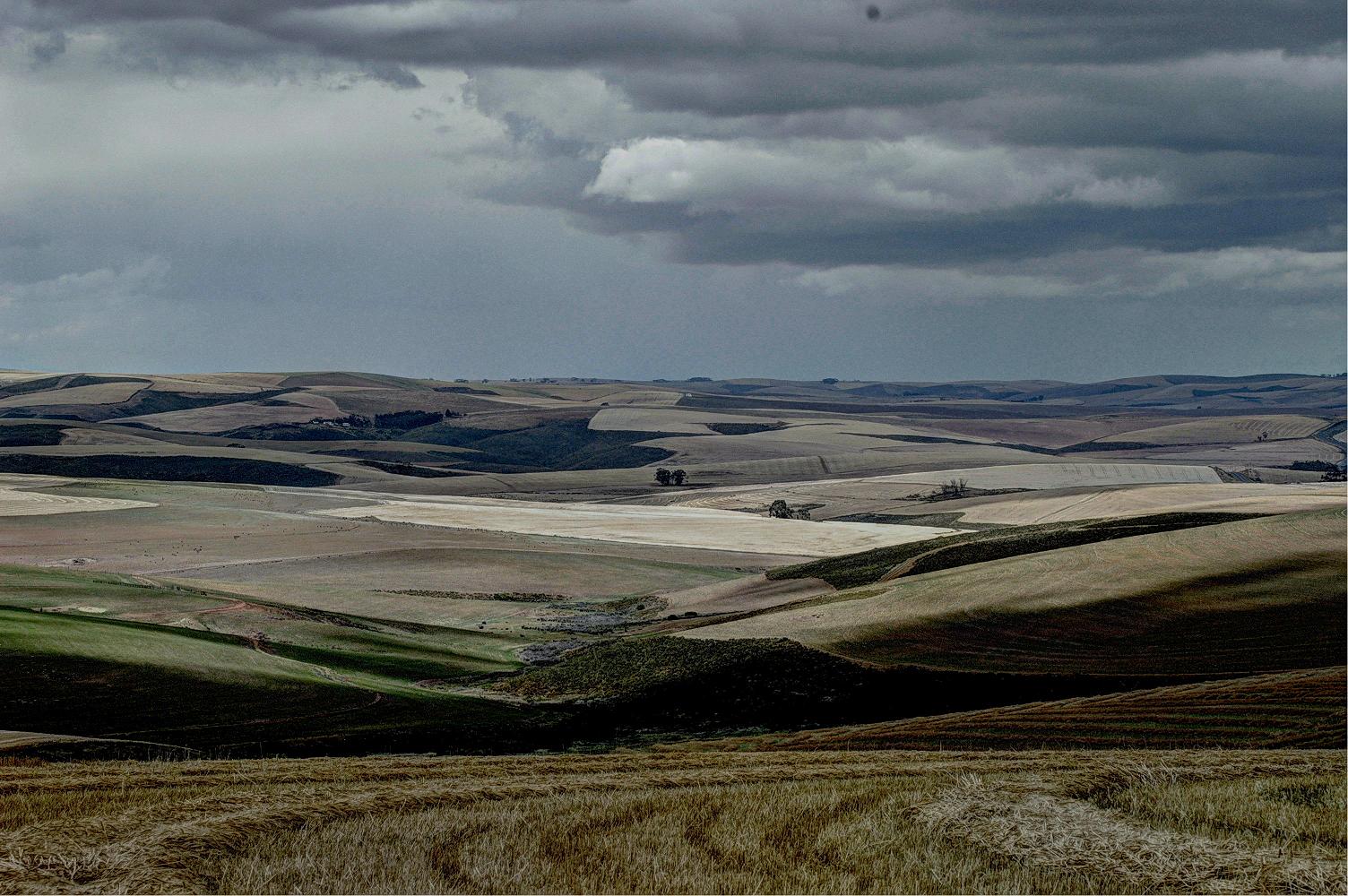
Sun and storm
Route expanse

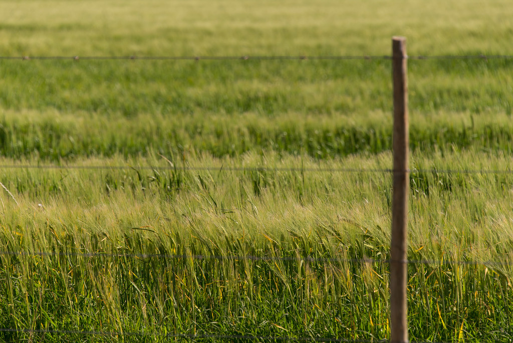
Colourful fynbos
Cape Agulhas
Topographic Map of Overberg District Municipality, South Africa
Find elevation by address:

Places in Overberg District Municipality, South Africa:
Places near Overberg District Municipality, South Africa:
Napier
Napier
19 Jubileum St
27 Reservoir St
Bredasdorp
Cape Agulhas
Robertson
Robertson
66 Barry St
White Street
Ashton
Swellendam
Swellendam
Eenuurkop
Schoone Oordt Country House
Twaalfuurkop
Elfuurkop
Tienuurkop
Sanbona Wildlife Reserve
Barrydale
Recent Searches:
- Elevation of Corso Fratelli Cairoli, 35, Macerata MC, Italy
- Elevation of Tallevast Rd, Sarasota, FL, USA
- Elevation of 4th St E, Sonoma, CA, USA
- Elevation of Black Hollow Rd, Pennsdale, PA, USA
- Elevation of Oakland Ave, Williamsport, PA, USA
- Elevation of Pedrógão Grande, Portugal
- Elevation of Klee Dr, Martinsburg, WV, USA
- Elevation of Via Roma, Pieranica CR, Italy
- Elevation of Tavkvetili Mountain, Georgia
- Elevation of Hartfords Bluff Cir, Mt Pleasant, SC, USA