Elevation of Eenuurkop, Swellendam, South Africa
Location: South Africa > Western Cape > Overberg District Municipality > Barrydale > Swellendam > Swellendam >
Longitude: 20.4075
Latitude: -33.9725
Elevation: 1279m / 4196feet
Barometric Pressure: 87KPa
Elevation Map:
Satellite Map:
Related Photos:

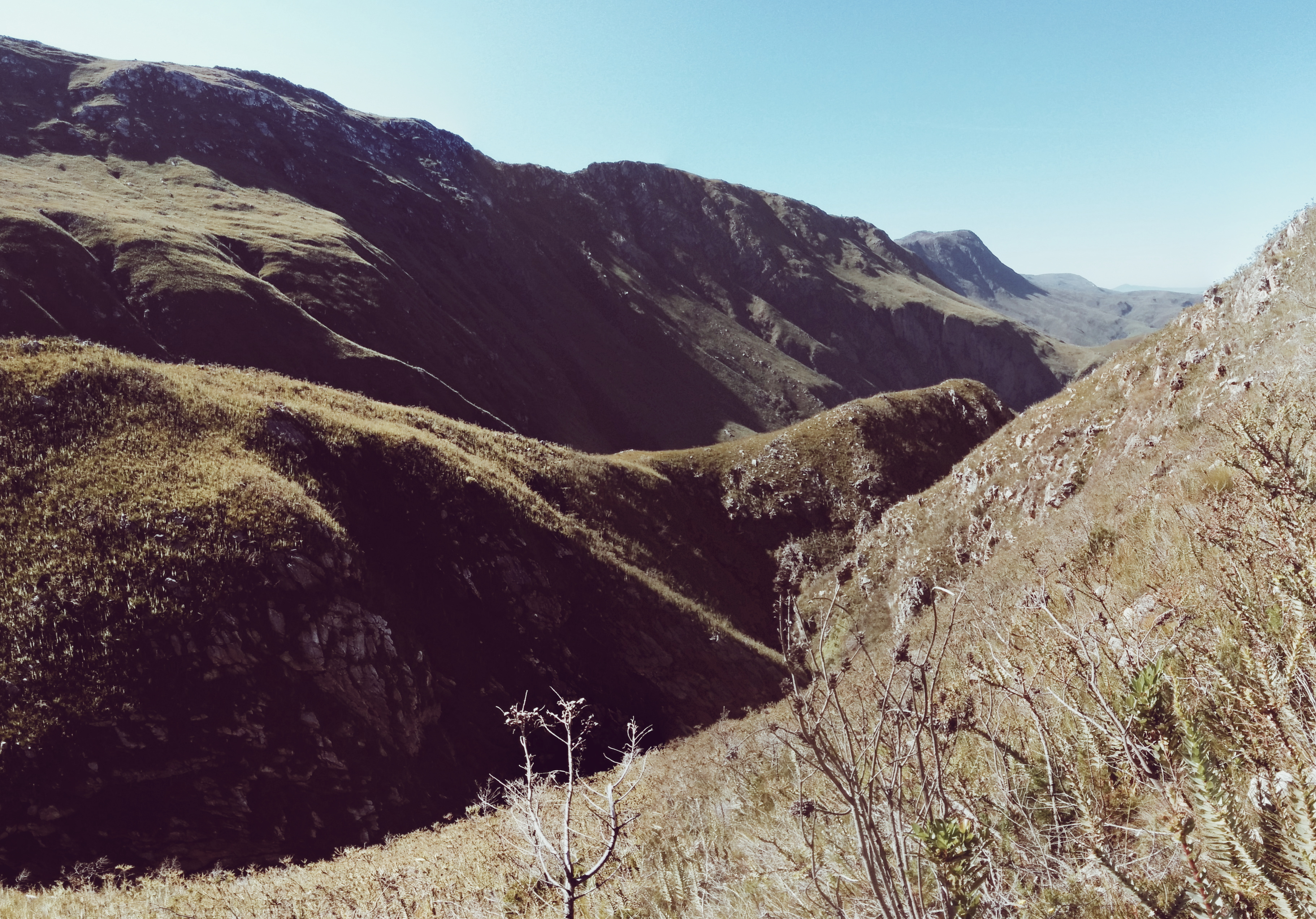
Green Grass Landscape

Sunset from The Plaat above Swellendam

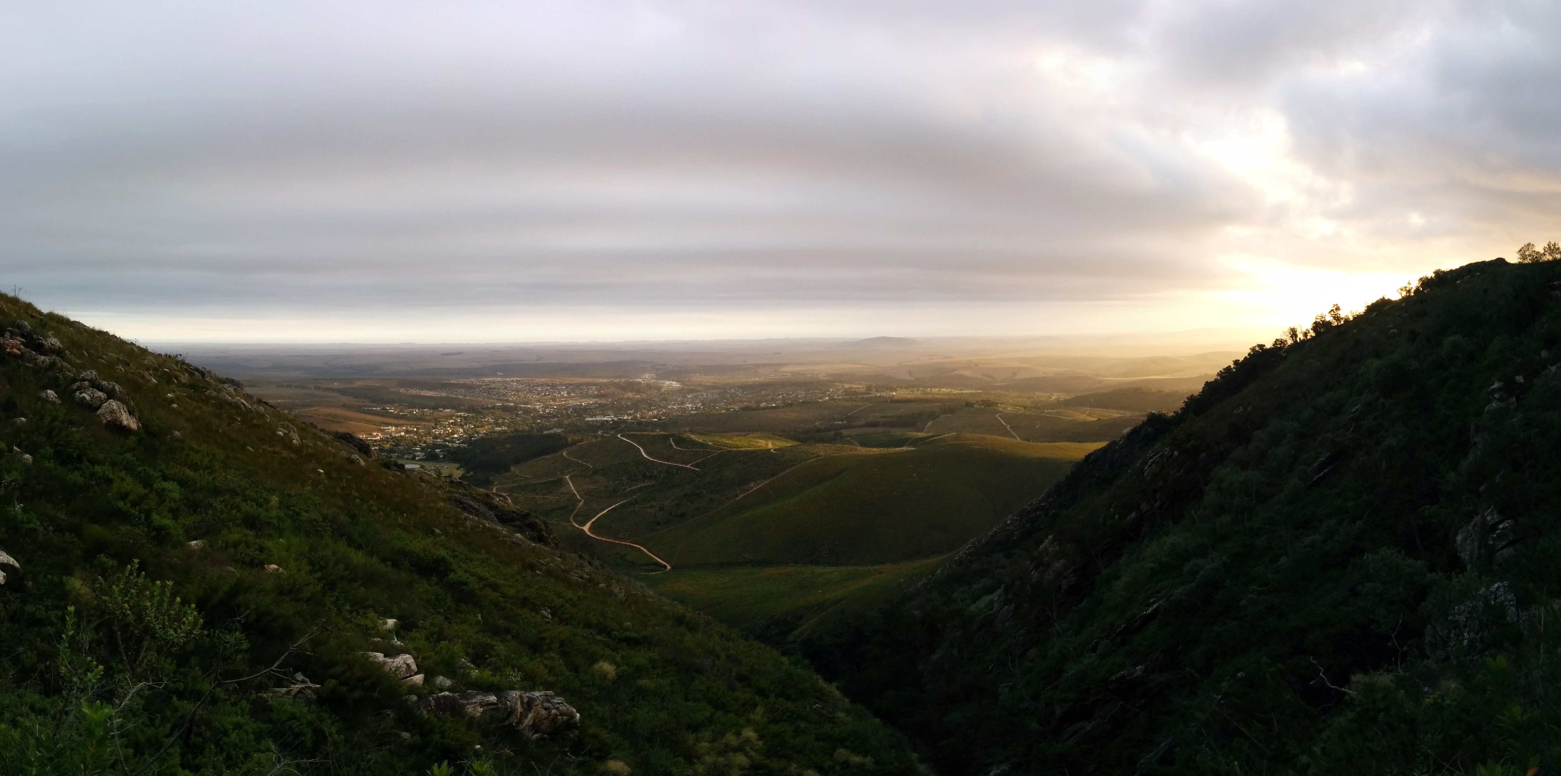
View over Swellendam
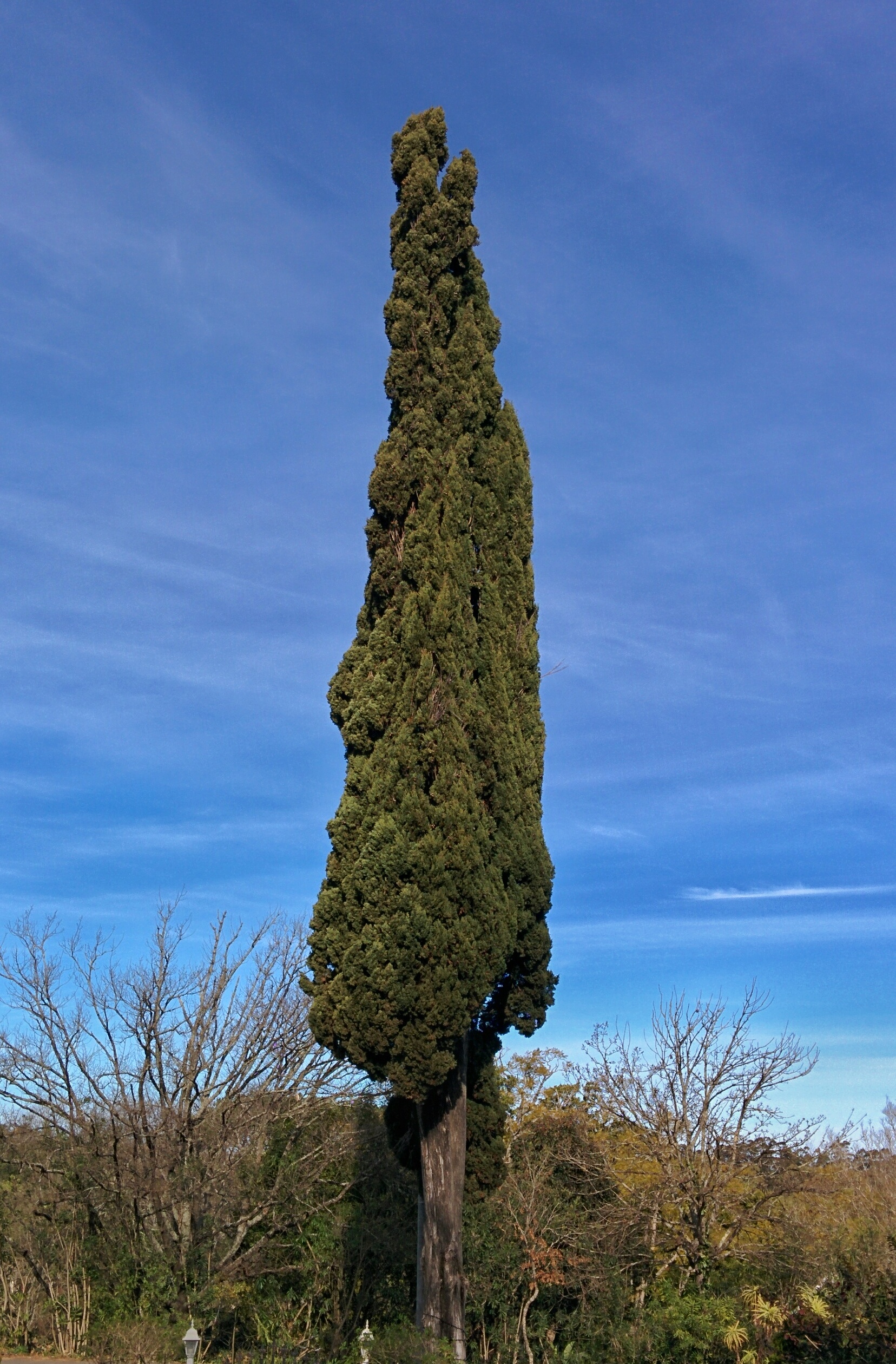
Cypress Tree in Swellendam
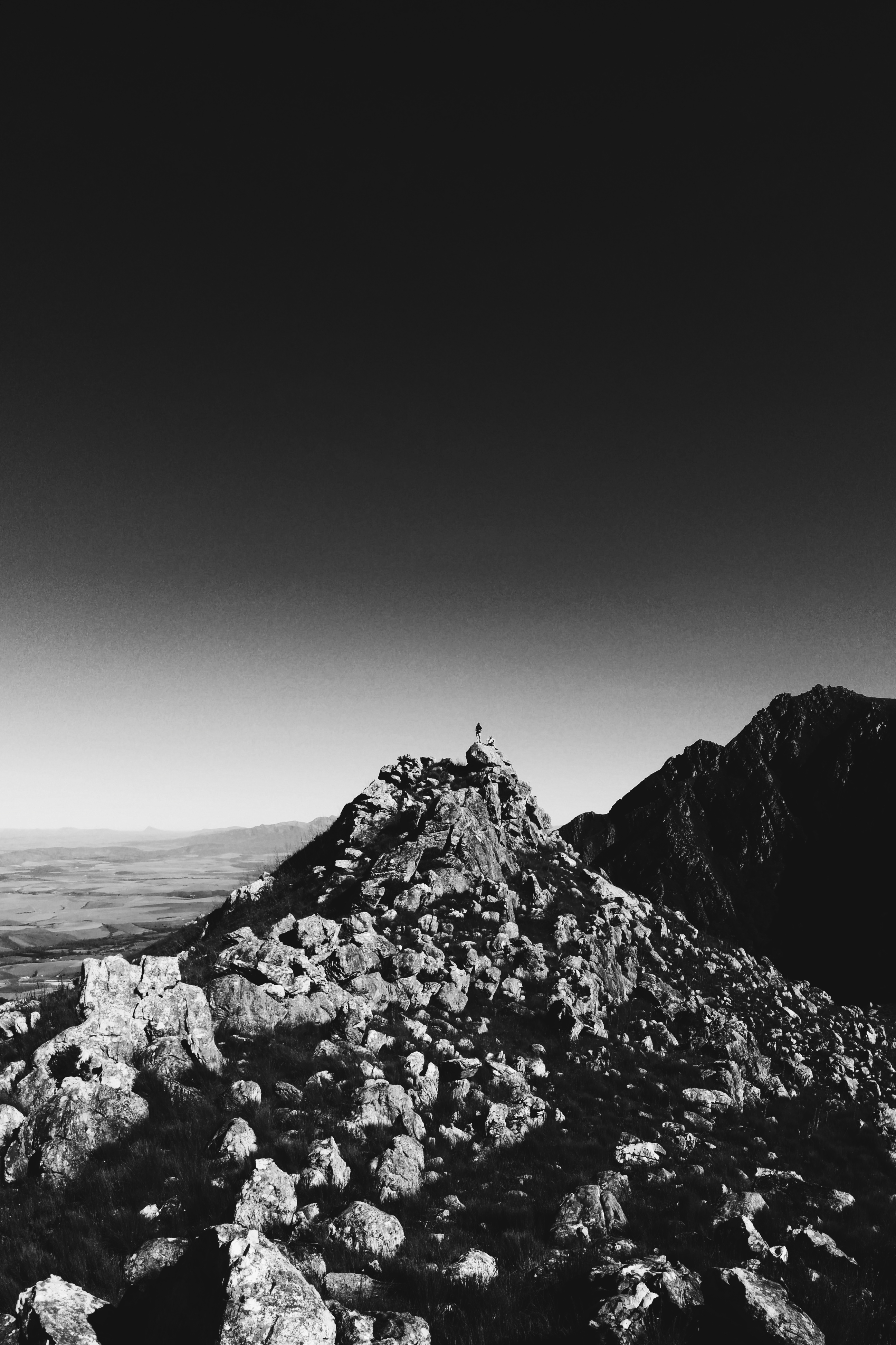
Bruce and John standing on 10 'o Clock peak

View from Andrew's place

Not a bad view to wake up to...
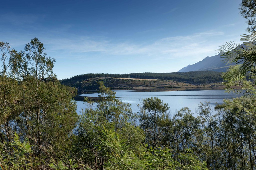
Wide Lake with green trees a typical Landscape of South Africa

View from Twaalfuurkop

Back home for a quick visit - late afternoon view from behind my dad's house of the Langeberge with 12-uur kop ("12 o'clock peak") seemingly having a puff #iphoneography #hometown #mountainview

December Holiday_2012

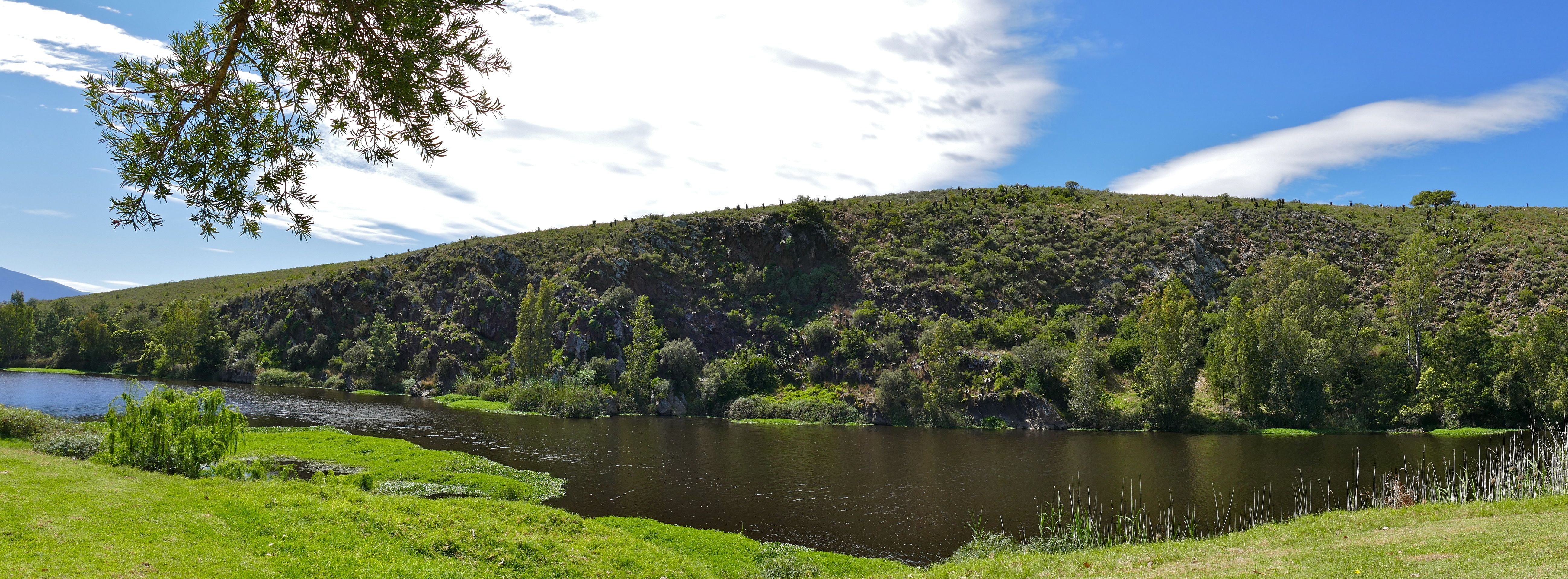
View of Brede River from our deck

Pin-tailed whydah display triptych

Thick clouds over Bontebok NP

Bontebok National Park

Picturesque South Africa

Bontebok National Park Cobwebs

Breede Rivier, Bontebok NP, South Africa
Brede River ...

South Africa - Bontebok National Park

Forest Path

Sunset from 10 'o Clock Peak

Bontebok National Park Breede Rivier, South Africa
Boskloof, Swellendam

Bontebok National Park, Breede River, South Africa
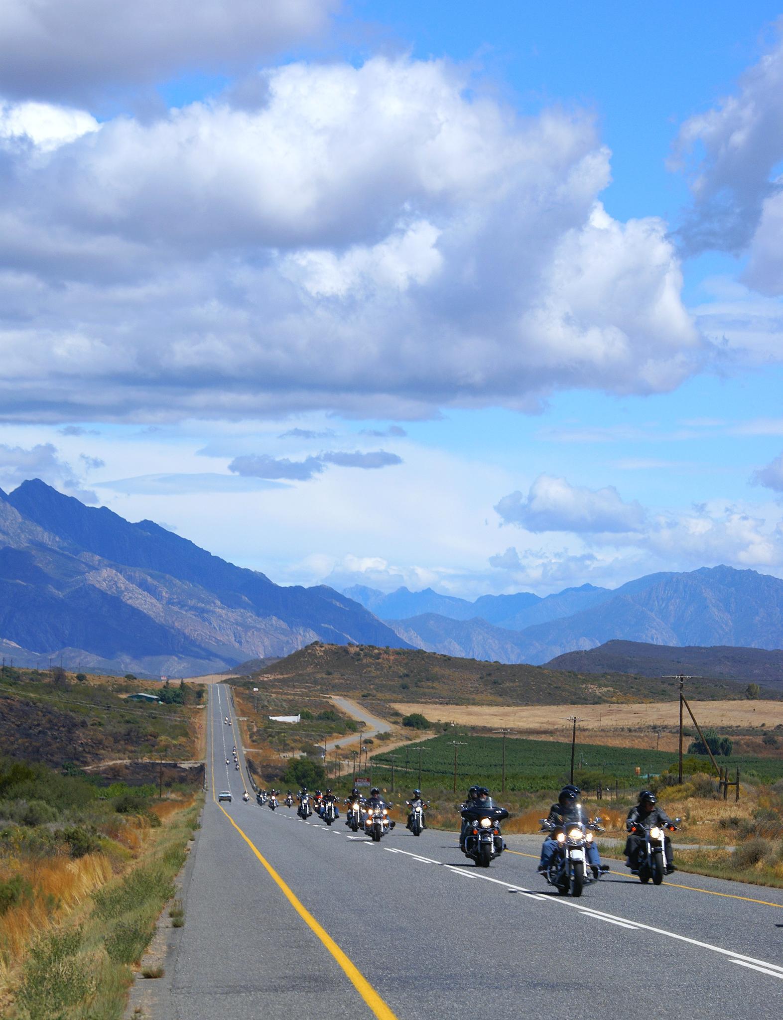
HOG Route 62 Rally - Formation Ride to Ronnie's Sex Shop

Marloth Nature Reserve
Swellendam sunset from The Plaat in Marloth Nature Reserve

Panorama in South Africa

Langeberg Mountains, Swellendam

HOG Route 62 Rally - Formation Ride to Ronnie's Sex Shop
Topographic Map of Eenuurkop, Swellendam, South Africa
Find elevation by address:

Places near Eenuurkop, Swellendam, South Africa:
Twaalfuurkop
Elfuurkop
Schoone Oordt Country House
Swellendam
Swellendam
Tienuurkop
Sanbona Wildlife Reserve
Barrydale
Barrydale
Barrydale
Milner Street
Ashton
Robertson
Heidelberg
Heidelberg - Wc
Robertson
White Street
66 Barry St
Swart Street
Bredasdorp
Recent Searches:
- Elevation of Corso Fratelli Cairoli, 35, Macerata MC, Italy
- Elevation of Tallevast Rd, Sarasota, FL, USA
- Elevation of 4th St E, Sonoma, CA, USA
- Elevation of Black Hollow Rd, Pennsdale, PA, USA
- Elevation of Oakland Ave, Williamsport, PA, USA
- Elevation of Pedrógão Grande, Portugal
- Elevation of Klee Dr, Martinsburg, WV, USA
- Elevation of Via Roma, Pieranica CR, Italy
- Elevation of Tavkvetili Mountain, Georgia
- Elevation of Hartfords Bluff Cir, Mt Pleasant, SC, USA