Elevation of Schloßstraße 24, Borgentreich, Germany

Location: Germany > North Rhine-westphalia > Detmold > Borgentreich > Natzungen >

Longitude: 9.2343466

Latitude: 51.6093191

Elevation: 210m / 689feet

Barometric Pressure: 99KPa

Elevation Map:

elevation map of Schloßstraße 24, Borgentreich, Germany

Satellite Map:

Satellite map of Schloßstraße 24, Borgentreich, Germany

Related Photos:

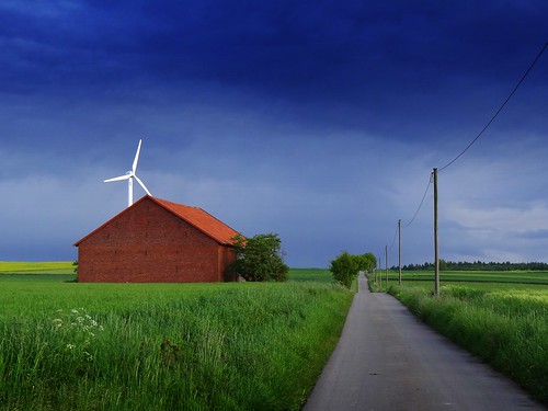
road blue sky building green nature windmill rain weather clouds germany landscape deutschland spring view path fields northrhinewestphalia
after the heavy rain...
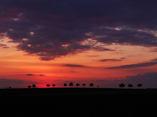
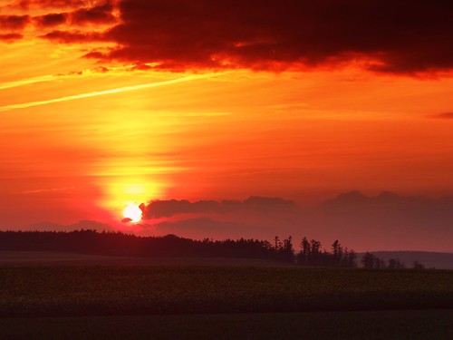
trees sunset sky nature clouds germany landscape deutschland hessen view cloudy silhouettes hesse
sunset in Hesse
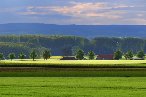
blue trees sky sunlight nature clouds germany landscape deutschland spring colours view hills fields sunlit northrhinewestphalia
between the rain and... rain!
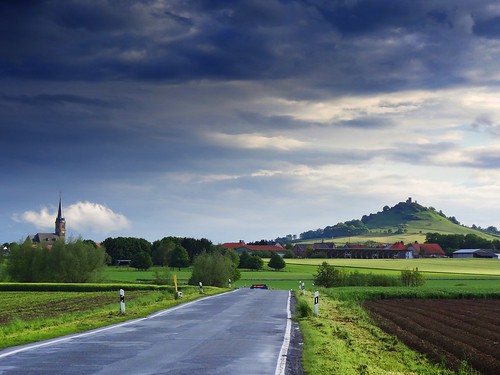
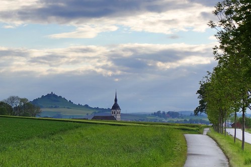
road blue sky green tower castle church nature weather clouds germany landscape deutschland spring colours view path hill northrhinewestphalia desenberg
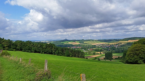
view to Desenberg
road trees sky building castle church rain architecture clouds germany landscape deutschland evening spring day view cloudy path hill northrhinewestphalia desenberg
landscapes of North Rhine-Westphalia
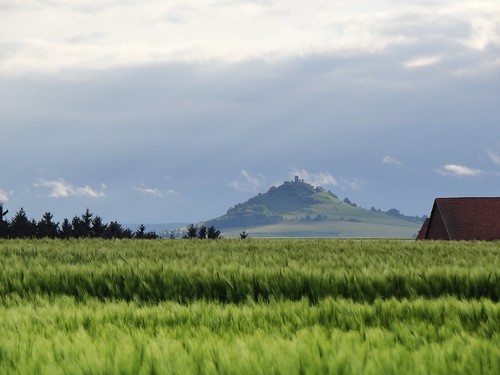
castle nature field weather clouds germany landscape deutschland spring day view cloudy hill northrhinewestphalia desenberg
view to Desenberg
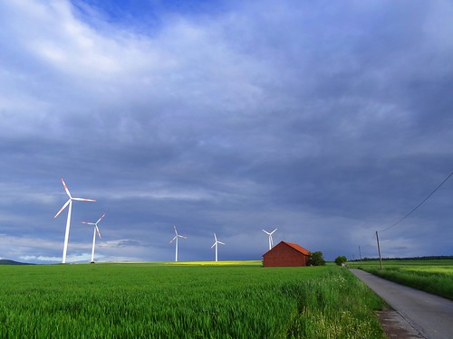
road blue sky sun building green nature sunshine weather clouds barn germany landscape deutschland countryside spring colours view wind path shed sunny windmills
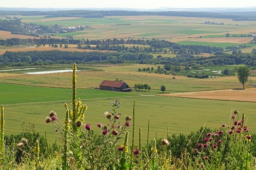
with the wind
germany hessen trendelburg springforest
THE VIEW FROM SCHLOSS TRENDELBURG
road sunset sky nature weather clouds germany landscape deutschland countryside spring colours view path windmills fields northrhinewestphalia
and the night took over...
sunset sky mist nature weather fog clouds forest germany landscape deutschland evening spring colours view air fields northrhinewestphalia
one million...
bridge canon ngc sigma nordrheinwestfalen nationalgeographic day221 westfalen ostwestfalen brakel noth rhinewestphalia nethe unterderbrücke kreishöxter underthebrigde 221365 sigma18250mm sudheim canoneos600d 3652014 365the2014edition 09082014 sudheimerhof
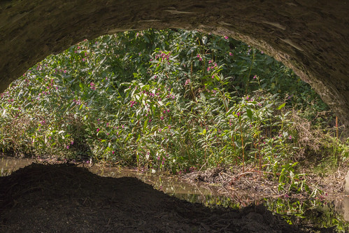
Beneath the Bridge / Unter der Brücke (221/365)
clouds landscape geotagged day cloudy meadow windturbines diemel liebenau warmberg geo:lat=5149332044 geo:lon=930897903
Wolken über dem Diemeltal
autumn leave germany town hessen laub herbst stadt blätter hesse hessia badkarlshafen nordhessen hafenbecken northhesse harbourbasin
Water is gone / Das Wasser ist weg.
summer house building green nature architecture germany landscape deutschland view meadows hills fields northrhinewestphalia
summer in...
city trees summer building church architecture germany landscape deutschland town hessen view hills fields hesse warburg lowersaxony northrhinewestphalia daseburg rösebeck körbecke
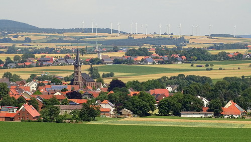
view with three churches
autumn mist fall fog geotagged haze day morningmist naturesfinest bestcapturesaoi sailsevenseas sailsevenseasmaster elitegalleryaoi geo:lat=5149348450 geo:lon=934909058 pwwinter
November mist
trees sunset sky nature weather clouds germany landscape deutschland spring colours view path raod sunlit
amazing sunset
november autumn fall forest blinkagain
End of Season
sky tower church nature germany landscape deutschland town spring view sunrays sunbeams körbecke
the spring stories
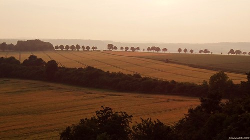
road trees summer sky mist holiday tree nature field fog germany landscape deutschland gold golden evening countryside alley view foggy natura hills fields pola droga aleja hesse wakacje przyroda mgła kolory wieczór niebo lato zachódsłońca drzewa rośliny krajobraz wieś niemcy outinthefields sonydschx100v
summer sunsets
trees sunset sky nature clouds germany landscape deutschland spring colours view silhouettes northrhinewestphalia
the spring stories
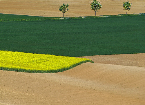
trees field geotagged rape lepetitprince imagesforthelittleprince sailsevenseas bestofblinkwinners artistoftheyearlevel4 geo:lat=5148851242 geo:lon=934294109 blinksuperstars artistoftheyearlevel5 artistoftheyearlevel6
The wave
trees field geotagged rape baleofstraw geo:lat=5151856667 geo:lon=940252500
Colours of May
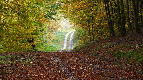
wood autumn trees fall forest autumnleaves foliage
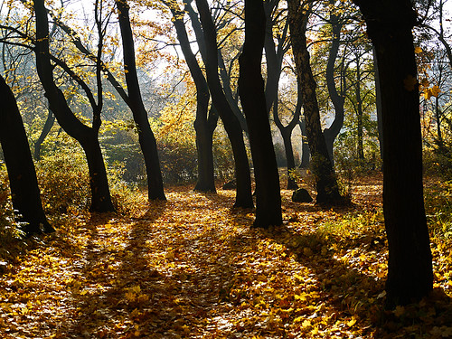
November forest
autumn trees fall explore explored
Haunted forest
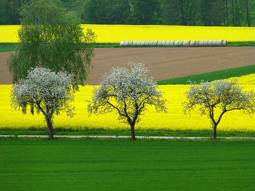
trees day rape clear avenue canola rowoftrees
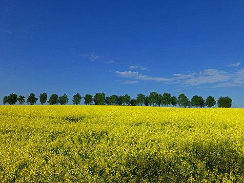
Spring impression
trees winter snow bench geotagged birch dezember birchalley geo:lat=5149829167 geo:lon=936728056
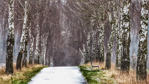
Winter alley
landscape geotagged rape canola geo:lat=5153537500 geo:lon=942304167
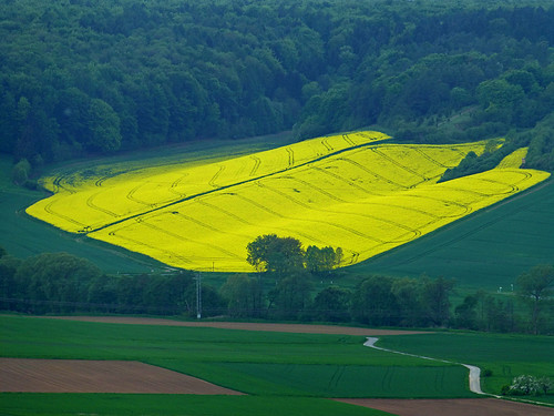
The yellow island
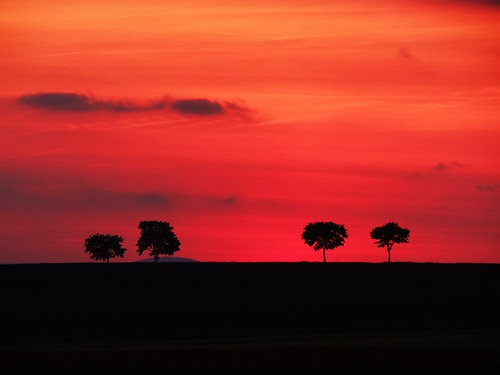
trees sunset red sky black nature clouds germany landscape deutschland spring colours silhouettes
four trees...
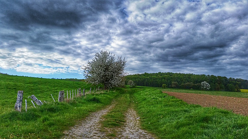
field clouds fence spring hill may meadow agriculture darksky farmtrack cartway
The dark side of spring
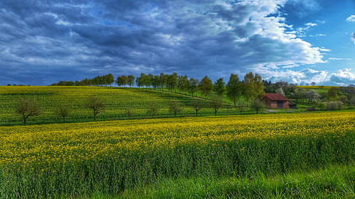
trees clouds barn landscape spring rape agriculture avenue darksky rapeseed rowoftrees
Out in the fields
nature germany landscape westphalia desenberg
North Rhein Westphalia
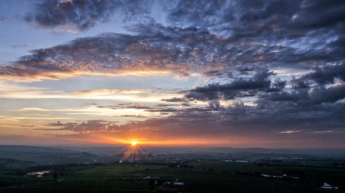
sunset sky clouds germany skyscape landscape deutschland sonnenuntergang natur wolken landschaft nordrheinwestfalen warburg derhalbling burgdesenberg
Sunset over Warburg (Nordrhein-Westfalen)