Elevation of Dössel, Warburg, Germany
Location: Germany > North Rhine-westphalia > Detmold > Warburg >
Longitude: 9.166534
Latitude: 51.5225022
Elevation: 213m / 699feet
Barometric Pressure: 0KPa
Related Photos:

winter...

shades of winter

sunset in Hesse

November mist

shades of winter

shades of winter

shades of winter

View from Desenberg

Floating hills

summer moods

summer moods

End of Season

Bench of the day

between the rain and... rain!

view with three churches

summer in...

...
End of April

landscapes of North Rhine-Westphalia

Goodbye, yellow fields!

November glance

A touch of winter

Twilight trees

Out in the fields

The Twelve Brothers

Colours of Spring

Pastel winter

admiring the sunset

The dark side of spring

Five in a row

Fog in the valley

It's summer!

Bleak prospects

Backup sun

November forest

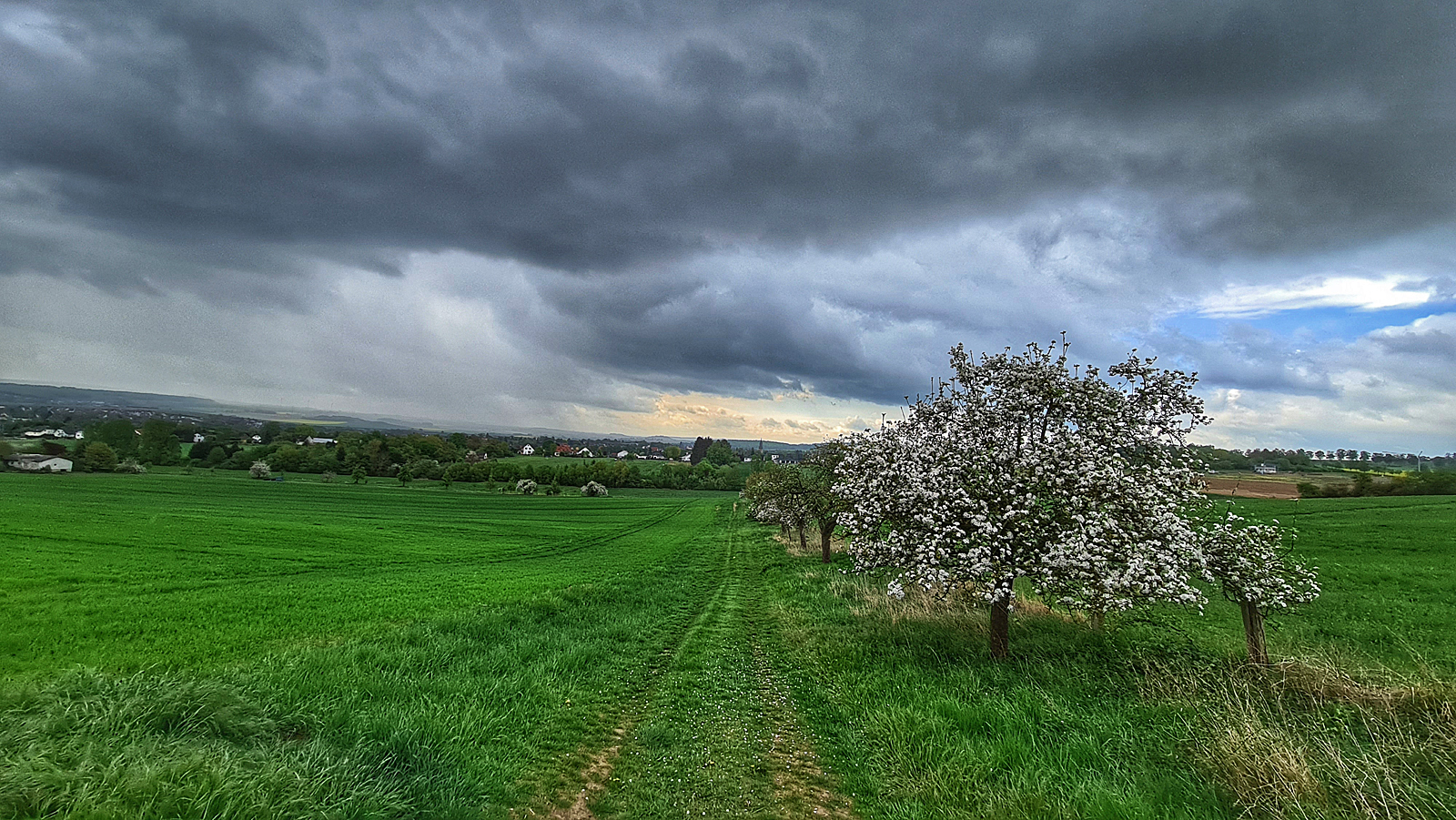
Before the tempest

enjoying the summer

The Steadfest Twelve
Topographic Map of Dössel, Warburg, Germany
Find elevation by address:

Places in Dössel, Warburg, Germany:
Places near Dössel, Warburg, Germany:
Warburger Str. 38
Hohenwepel
Waldweg 1, Warburg, Germany
Warburg
Neuer Graben 3, Warburg, Germany
Wormeln
Borgentreich
Bonenburger Weg
Natzungen
Schloßstraße 24, Borgentreich, Germany
Bonenburg
Kreuzkirchstraße 1, Warburg, Germany
Volkmarsen
Zum Tiefental 2, Brakel, Germany
Siddessen
Külte
Kirchenweg 6, Volkmarsen, Germany
Buttenstraße 7, Calden, Germany
Obermeiser
Fischhausweg 1, Bad Arolsen, Germany
Recent Searches:
- Elevation of 10370, West 107th Circle, Westminster, Jefferson County, Colorado, 80021, USA
- Elevation of 611, Roman Road, Old Ford, Bow, London, England, E3 2RW, United Kingdom
- Elevation of 116, Beartown Road, Underhill, Chittenden County, Vermont, 05489, USA
- Elevation of Window Rock, Colfax County, New Mexico, 87714, USA
- Elevation of 4807, Rosecroft Street, Kempsville Gardens, Virginia Beach, Virginia, 23464, USA
- Elevation map of Matawinie, Quebec, Canada
- Elevation of Sainte-Émélie-de-l'Énergie, Matawinie, Quebec, Canada
- Elevation of Rue du Pont, Sainte-Émélie-de-l'Énergie, Matawinie, Quebec, J0K2K0, Canada
- Elevation of 8, Rue de Bécancour, Blainville, Thérèse-De Blainville, Quebec, J7B1N2, Canada
- Elevation of Wilmot Court North, 163, University Avenue West, Northdale, Waterloo, Region of Waterloo, Ontario, N2L6B6, Canada
- Elevation map of Panamá Province, Panama
- Elevation of Balboa, Panamá Province, Panama
- Elevation of San Miguel, Balboa, Panamá Province, Panama
- Elevation of Isla Gibraleón, San Miguel, Balboa, Panamá Province, Panama
- Elevation of 4655, Krischke Road, Schulenburg, Fayette County, Texas, 78956, USA
- Elevation of Carnegie Avenue, Downtown Cleveland, Cleveland, Cuyahoga County, Ohio, 44115, USA
- Elevation of Walhonding, Coshocton County, Ohio, USA
- Elevation of Clifton Down, Clifton, Bristol, City of Bristol, England, BS8 3HU, United Kingdom
- Elevation map of Auvergne-Rhône-Alpes, France
- Elevation map of Upper Savoy, Auvergne-Rhône-Alpes, France