Elevation of Natzungen, Borgentreich, Germany
Location: Germany > North Rhine-westphalia > Detmold > Borgentreich >
Longitude: 9.23304
Latitude: 51.609429
Elevation: 211m / 692feet
Barometric Pressure: 0KPa
Related Photos:

November mist
after the heavy rain...

sunset in Hesse
between the rain and... rain!
amazing sunset
End of Season
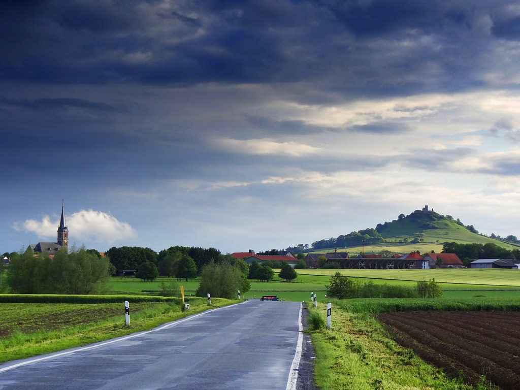
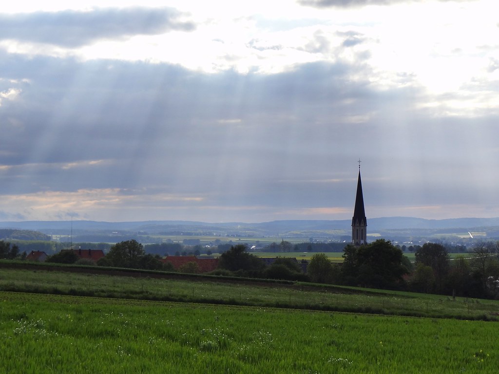
view to Desenberg
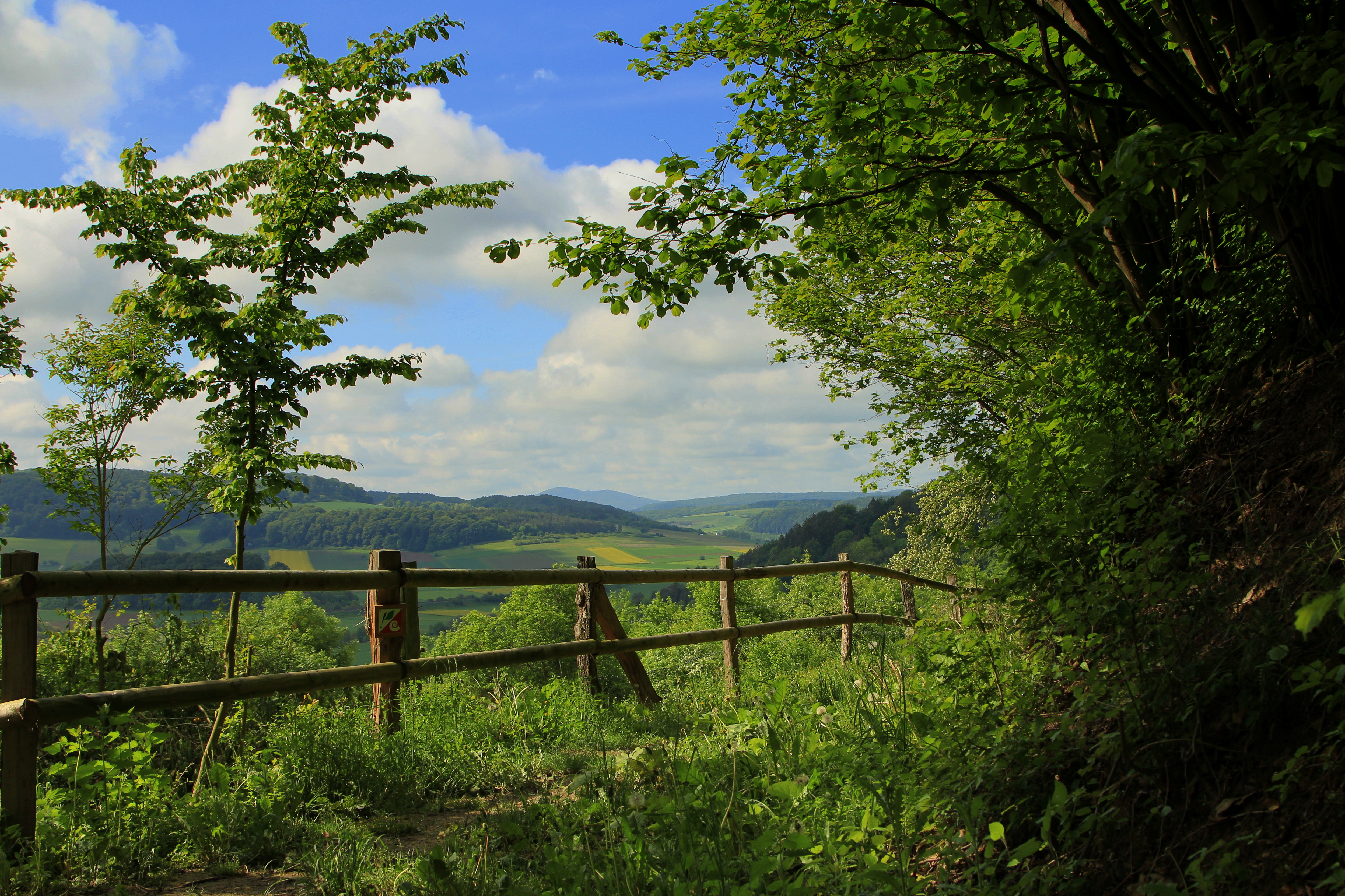
landscapes of North Rhine-Westphalia
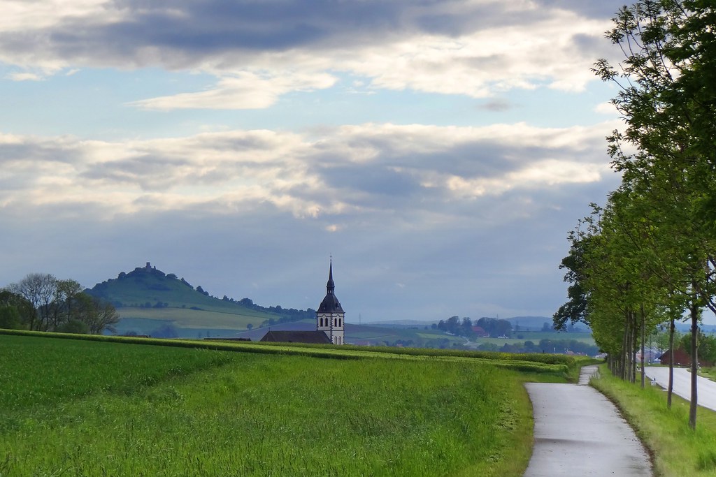
view to Desenberg
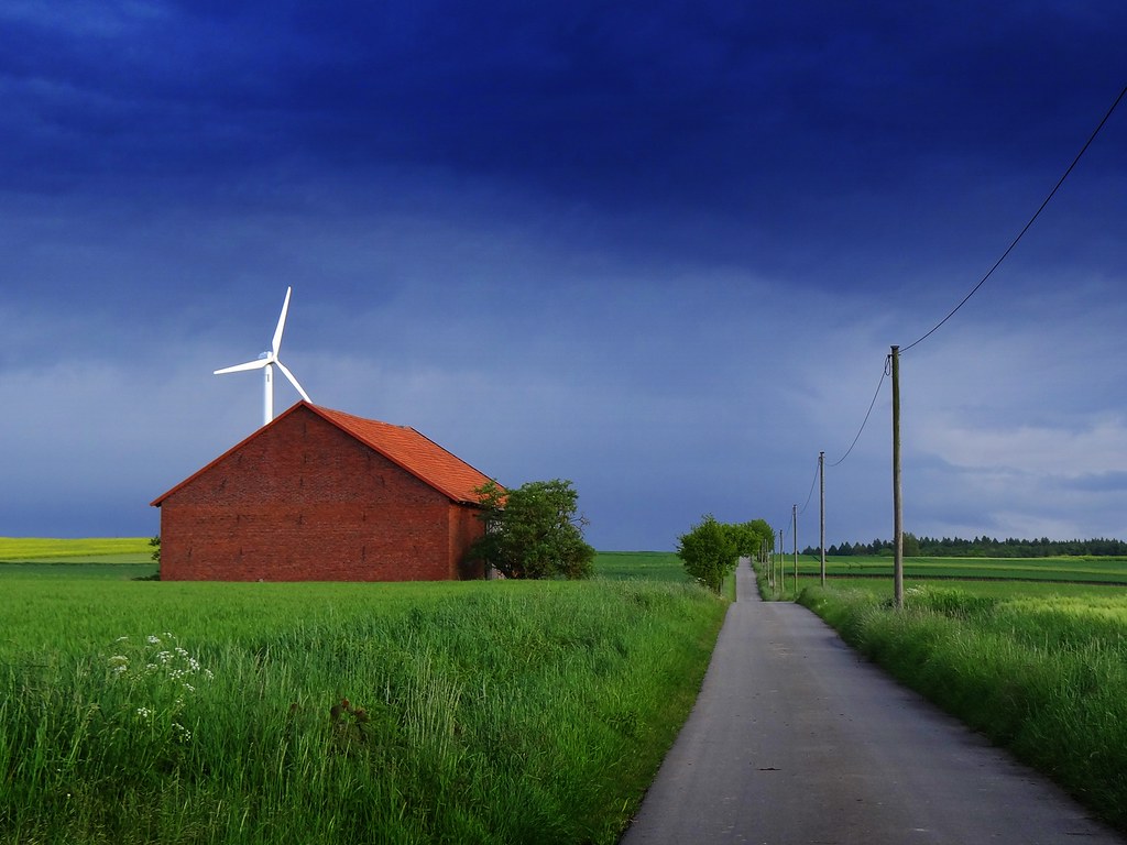
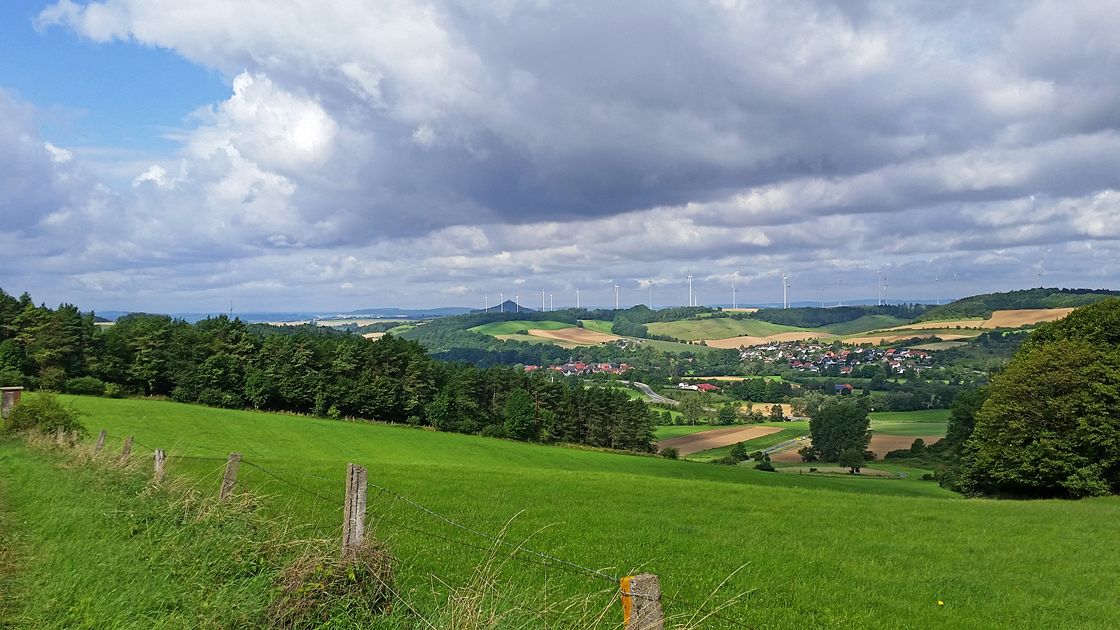
with the wind

THE VIEW FROM SCHLOSS TRENDELBURG

and the night took over...
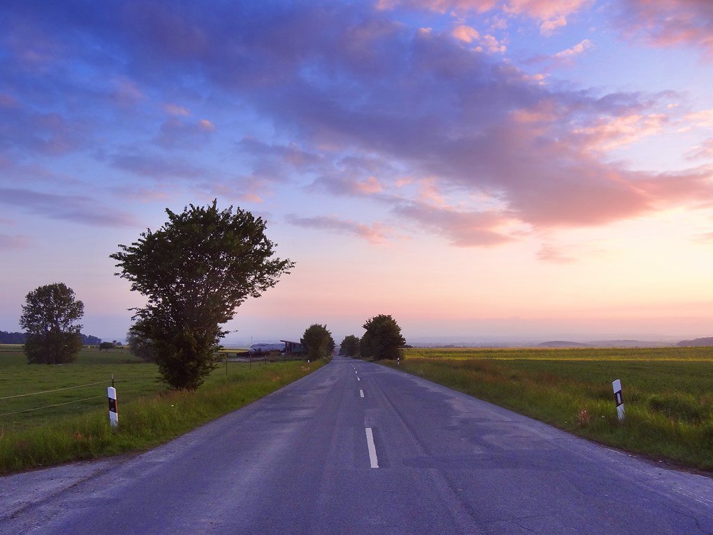
the spring stories

summer sunsets

the spring stories

one million...
Ein kleines Päuschen .. / Have a rest ..
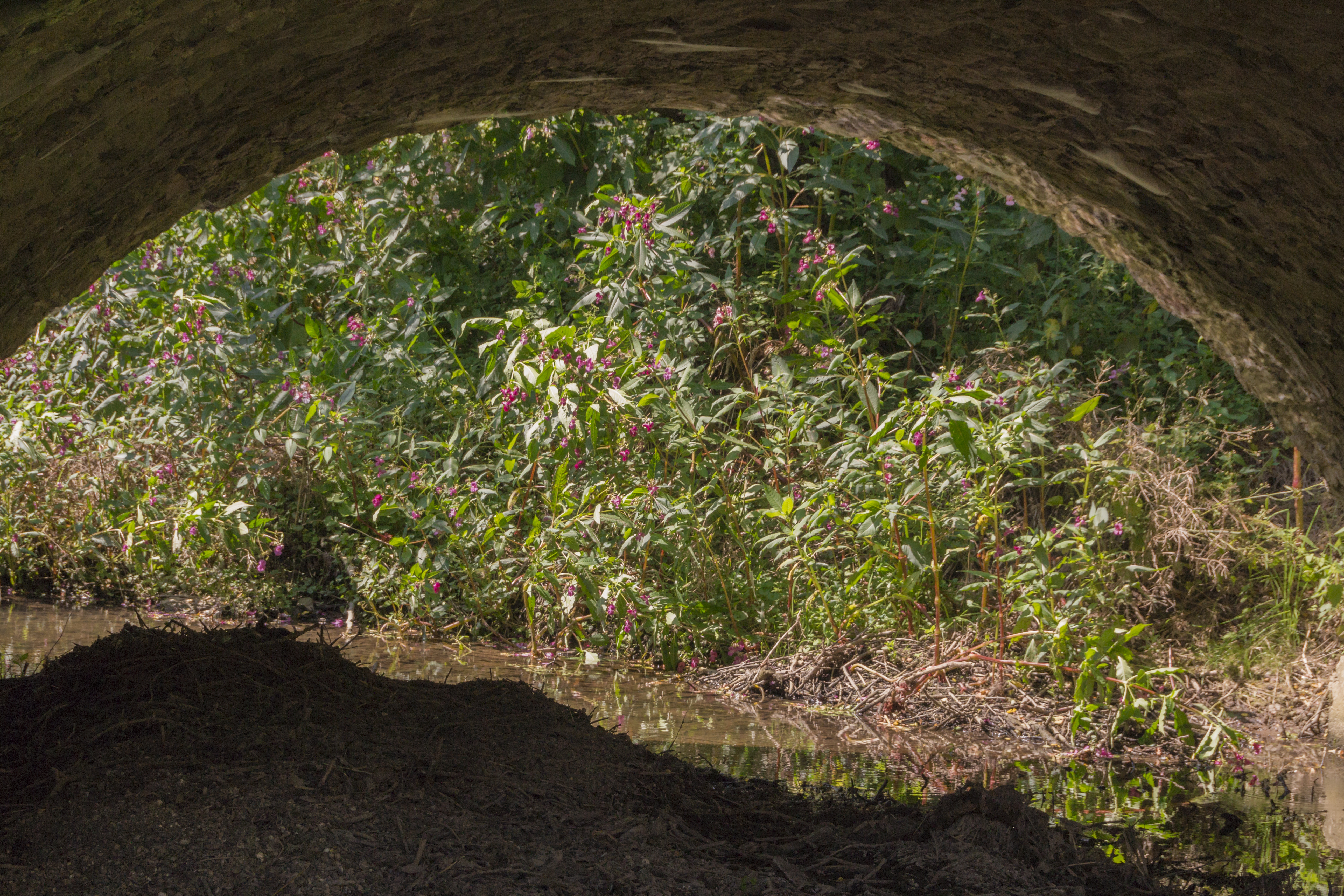
Beneath the Bridge / Unter der Brücke (221/365)

Blick vom Corvinushaus auf Hirschapotheke und Neustadtkirche ~ view to the parish church St. John in Warburg
Wolken über dem Diemeltal
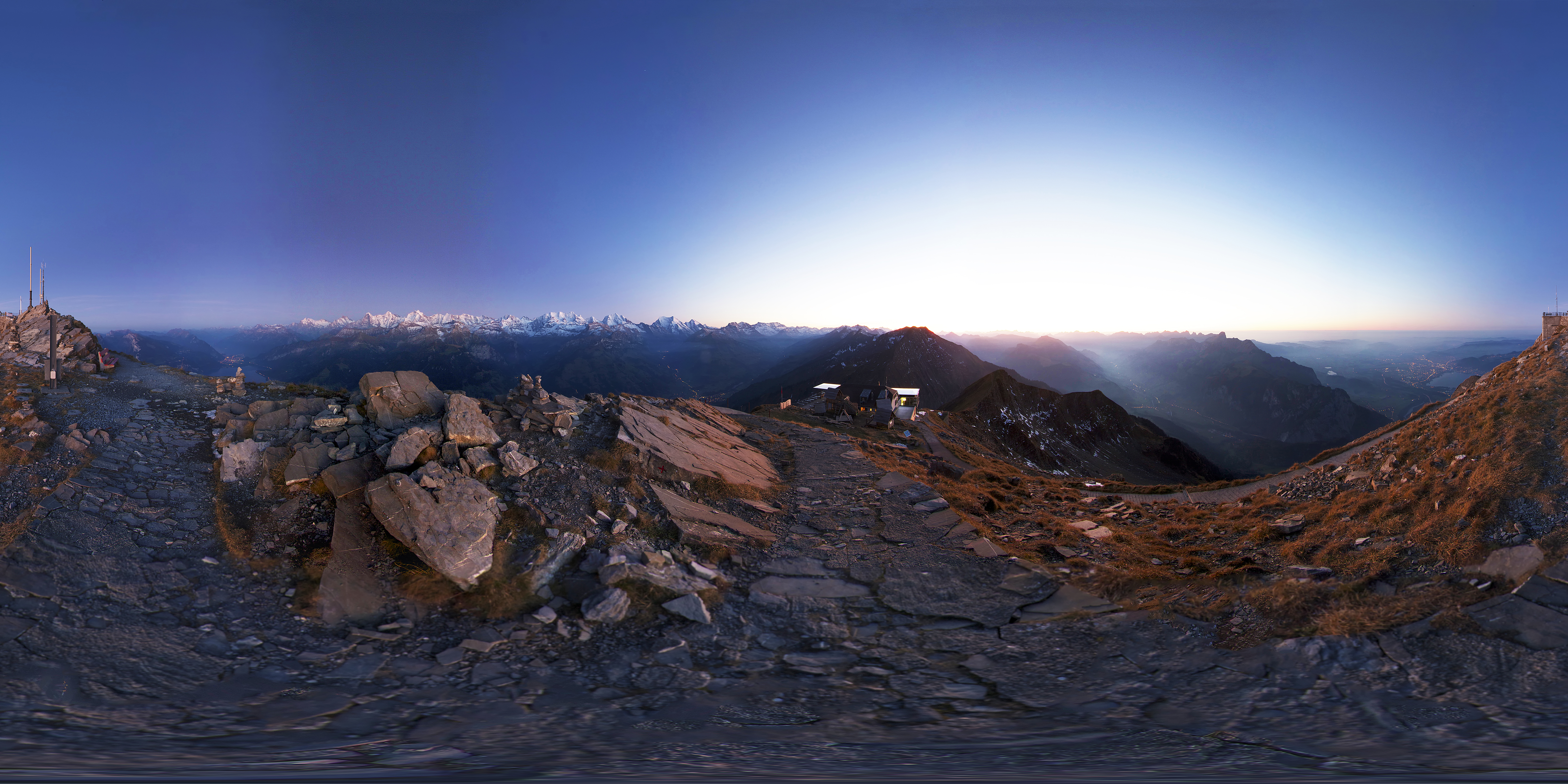
Niesen Mountain - Switzerland - Niesen-Kulm
The wave
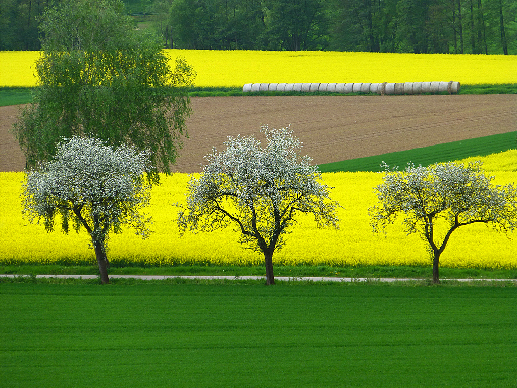
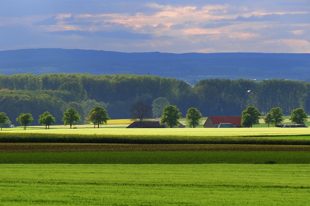
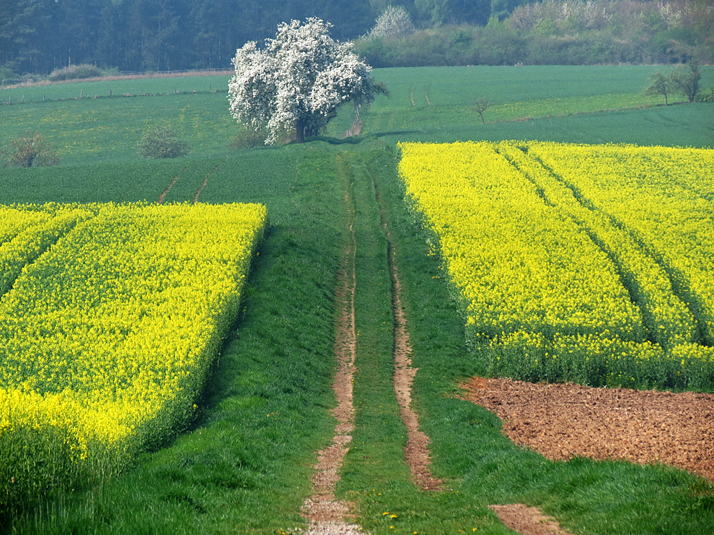
Colours of May
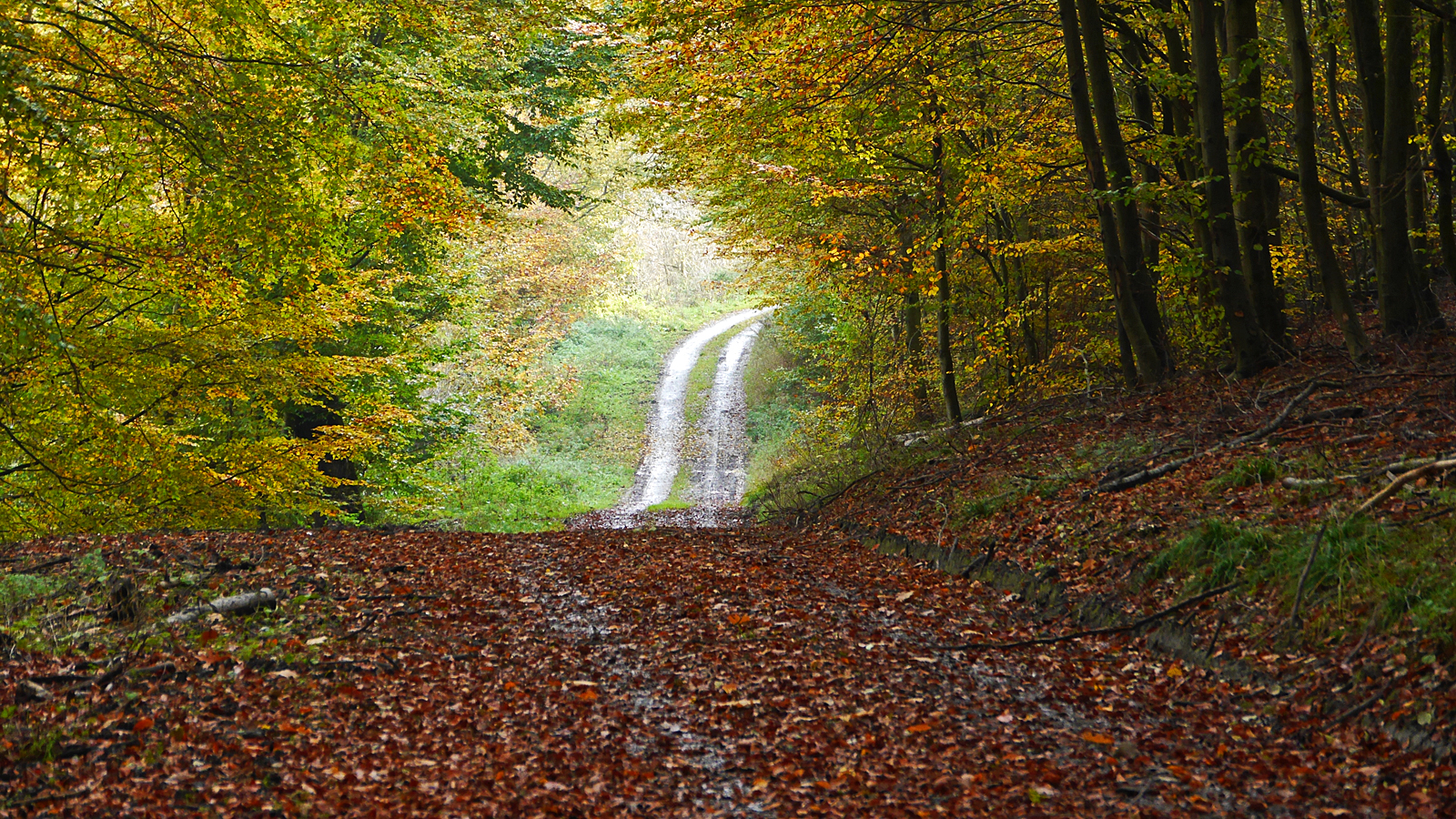
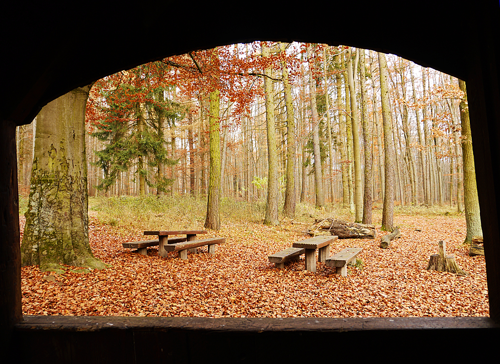
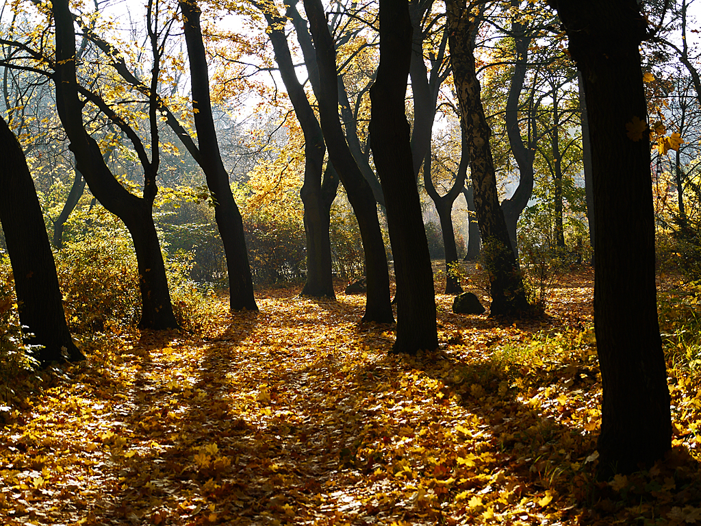
November forest
Haunted forest
Spring impression

Spring impression

Before the tempest
Old friendship

Spring impression
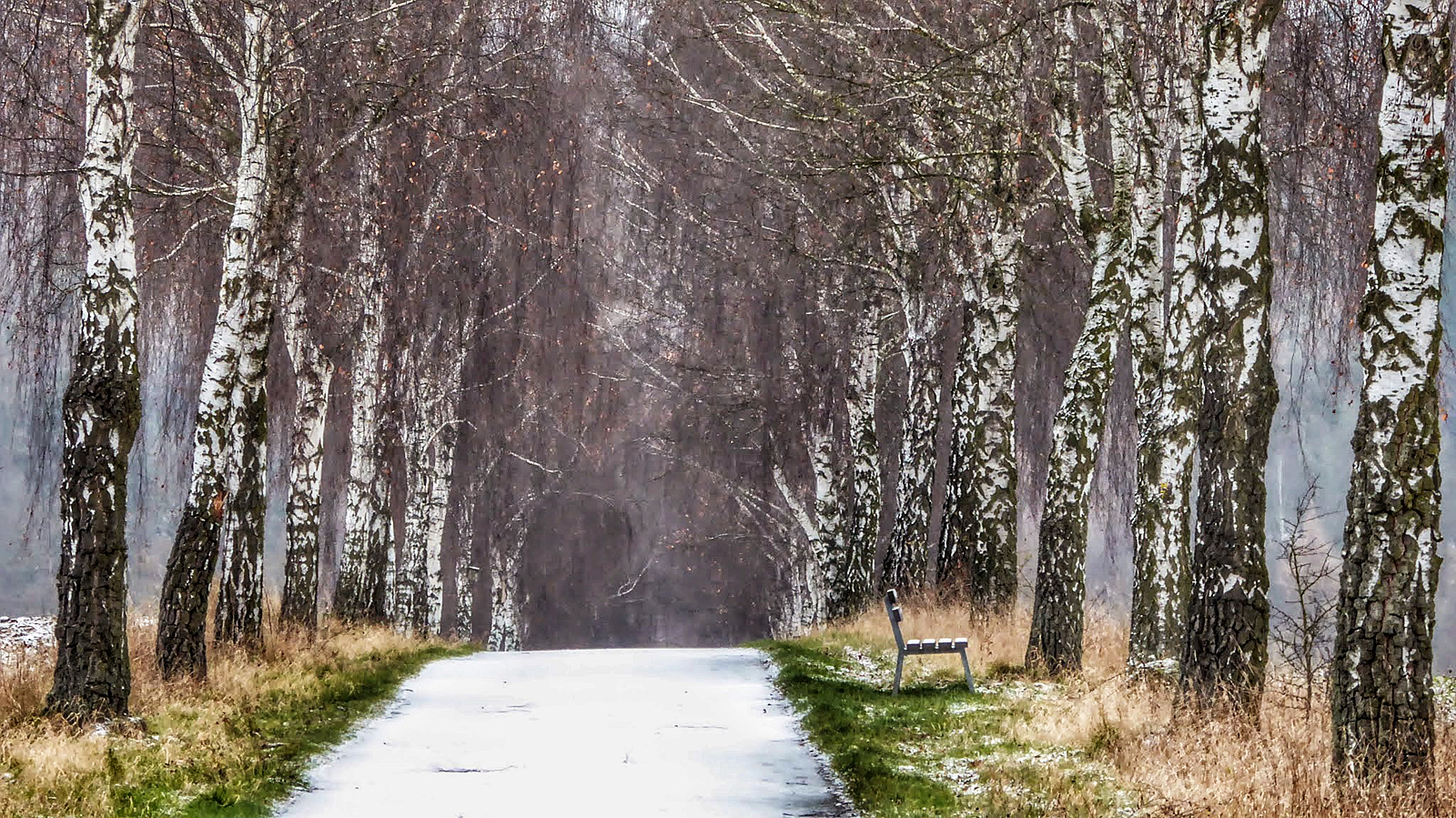
Winter alley
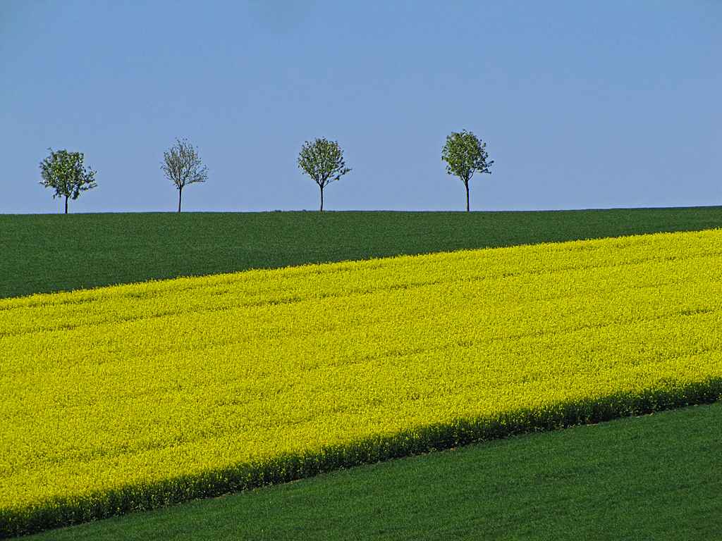
Trees at horizon
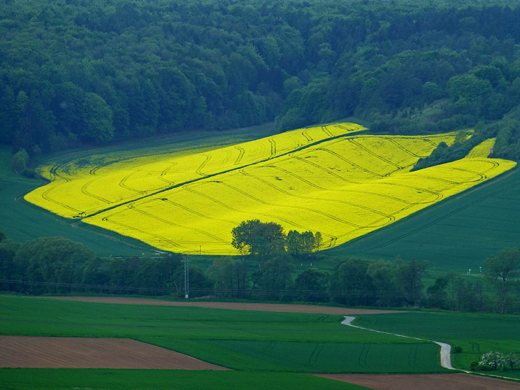
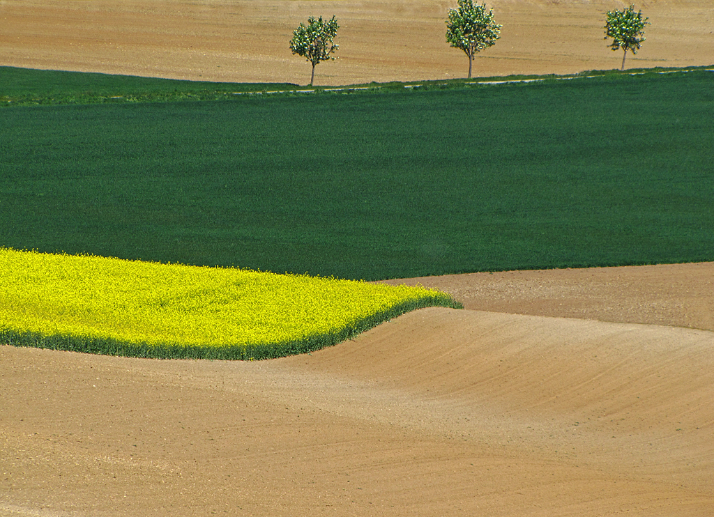
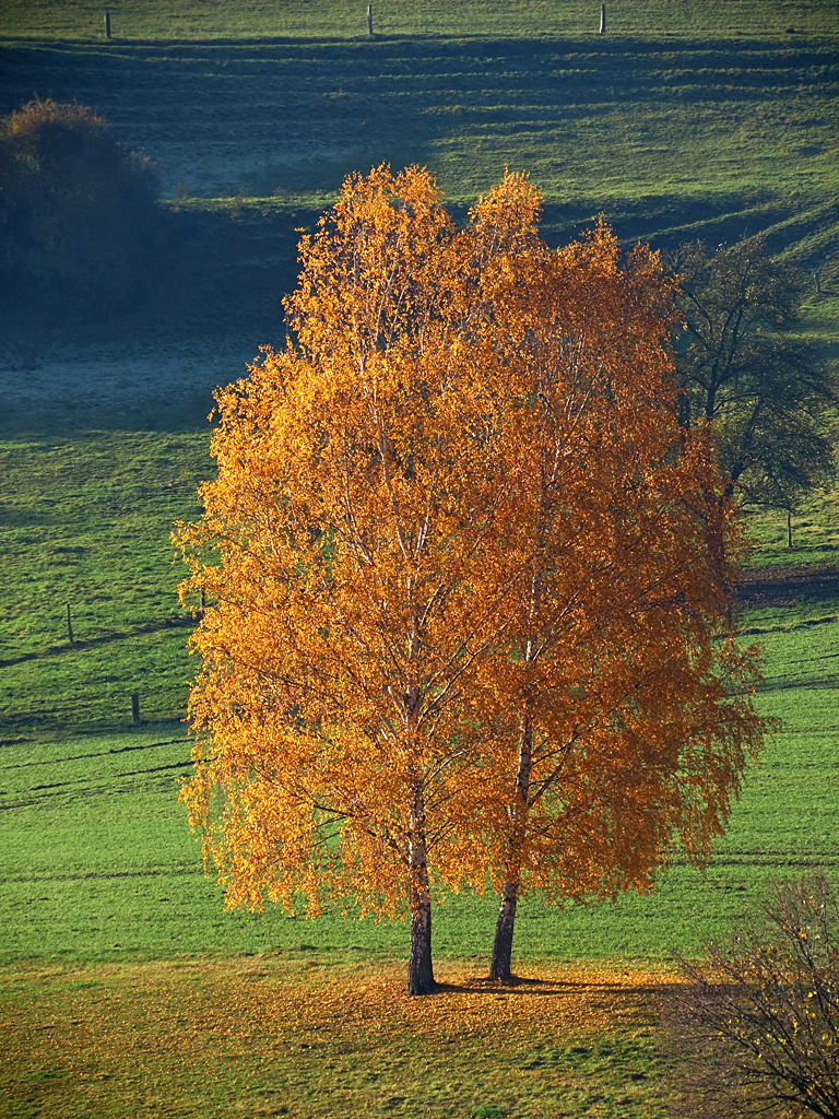
The yellow island
Topographic Map of Natzungen, Borgentreich, Germany
Find elevation by address:

Places in Natzungen, Borgentreich, Germany:
Places near Natzungen, Borgentreich, Germany:
Schloßstraße 24, Borgentreich, Germany
Borgentreich
Zum Tiefental 2, Brakel, Germany
Siddessen
Dössel
Warburger Str. 38
Brakel
Brakeler Str. 1, Höxter, Germany
Ottbergen
Hohenwepel
Waldweg 1, Warburg, Germany
An den Anlagen 47, Trendelburg, Germany
Langenthal
Höxter
Warburg
Neuer Graben 3, Warburg, Germany
Wormeln
Bonenburger Weg
Buttenstraße 7, Calden, Germany
Obermeiser
Recent Searches:
- Elevation of 10370, West 107th Circle, Westminster, Jefferson County, Colorado, 80021, USA
- Elevation of 611, Roman Road, Old Ford, Bow, London, England, E3 2RW, United Kingdom
- Elevation of 116, Beartown Road, Underhill, Chittenden County, Vermont, 05489, USA
- Elevation of Window Rock, Colfax County, New Mexico, 87714, USA
- Elevation of 4807, Rosecroft Street, Kempsville Gardens, Virginia Beach, Virginia, 23464, USA
- Elevation map of Matawinie, Quebec, Canada
- Elevation of Sainte-Émélie-de-l'Énergie, Matawinie, Quebec, Canada
- Elevation of Rue du Pont, Sainte-Émélie-de-l'Énergie, Matawinie, Quebec, J0K2K0, Canada
- Elevation of 8, Rue de Bécancour, Blainville, Thérèse-De Blainville, Quebec, J7B1N2, Canada
- Elevation of Wilmot Court North, 163, University Avenue West, Northdale, Waterloo, Region of Waterloo, Ontario, N2L6B6, Canada
- Elevation map of Panamá Province, Panama
- Elevation of Balboa, Panamá Province, Panama
- Elevation of San Miguel, Balboa, Panamá Province, Panama
- Elevation of Isla Gibraleón, San Miguel, Balboa, Panamá Province, Panama
- Elevation of 4655, Krischke Road, Schulenburg, Fayette County, Texas, 78956, USA
- Elevation of Carnegie Avenue, Downtown Cleveland, Cleveland, Cuyahoga County, Ohio, 44115, USA
- Elevation of Walhonding, Coshocton County, Ohio, USA
- Elevation of Clifton Down, Clifton, Bristol, City of Bristol, England, BS8 3HU, United Kingdom
- Elevation map of Auvergne-Rhône-Alpes, France
- Elevation map of Upper Savoy, Auvergne-Rhône-Alpes, France