Elevation of Sawtooth Mountain, Montana, USA
Location: United States > Montana > Lima >
Longitude: -112.21693
Latitude: 44.8032478
Elevation: 2961m / 9715feet
Barometric Pressure: 70KPa
Elevation Map:
Satellite Map:
Related Photos:
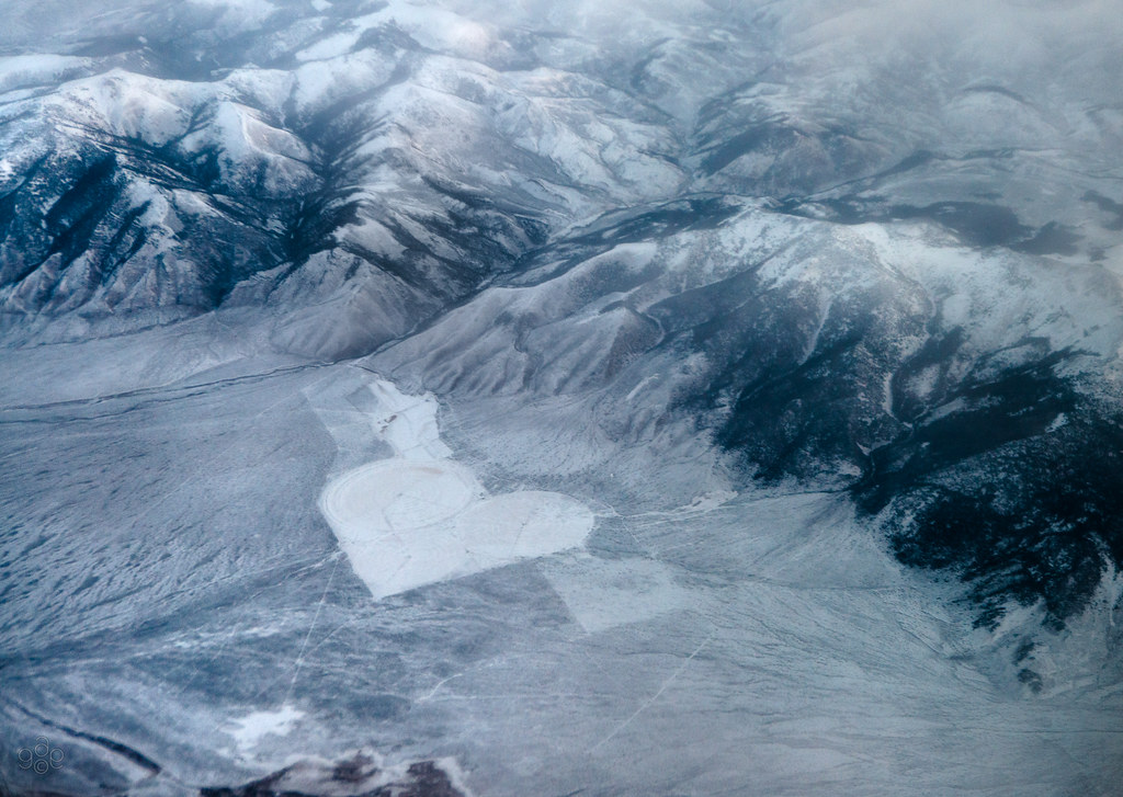
Snow white valentine in mountains
Topographic Map of Sawtooth Mountain, Montana, USA
Find elevation by address:

Places near Sawtooth Mountain, Montana, USA:
Monida
Monida Pass
Snowcrest Mountain
Humphrey
22685 N Valley Rd
Marmot Mountain
Flatiron Mountain
Cave Mountain
S Valley Rd, Lima, MT, USA
Jackpine Gulch
Clark County
Dubois
Unnamed Road
Grahams Place
Wade Lake
18 Sturdy Ln
Cliff Lake
Schusters Place
Walter Blessey Ponderosa Ranch
Henry's Lake Road
Recent Searches:
- Elevation of Corso Fratelli Cairoli, 35, Macerata MC, Italy
- Elevation of Tallevast Rd, Sarasota, FL, USA
- Elevation of 4th St E, Sonoma, CA, USA
- Elevation of Black Hollow Rd, Pennsdale, PA, USA
- Elevation of Oakland Ave, Williamsport, PA, USA
- Elevation of Pedrógão Grande, Portugal
- Elevation of Klee Dr, Martinsburg, WV, USA
- Elevation of Via Roma, Pieranica CR, Italy
- Elevation of Tavkvetili Mountain, Georgia
- Elevation of Hartfords Bluff Cir, Mt Pleasant, SC, USA