Elevation of Schusters Place, MT, USA
Location: United States > Montana > Madison County >
Longitude: -111.54524
Latitude: 44.8740912
Elevation: 1917m / 6289feet
Barometric Pressure: 80KPa
Elevation Map:
Satellite Map:
Related Photos:

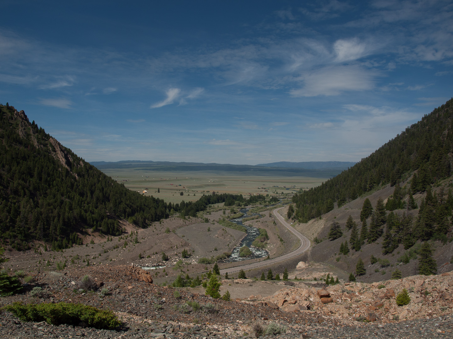
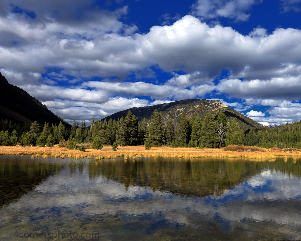
Earthquake Lake in Montana, summer scene with the highway in view

The Madison River
Cliff Lake, Montana

Quake Lake

Corrals at Three Dollar Bridge

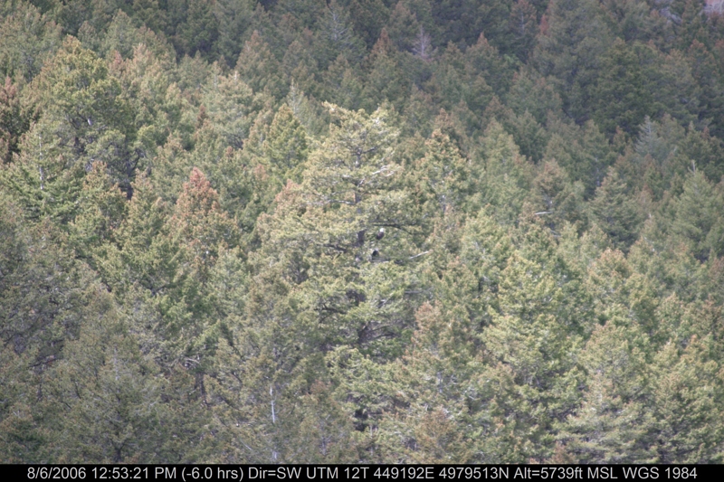
Mountain at Cabin Creek campground, Montana
View down the Madison from the Earthquake Memorial
Another view

For Distant Viewing

IMG_3926.JPG

IMG_3925.JPG

IMG_3929.JPG

IMG_3928.JPG

IMG_3927.JPG

IMG_3872.JPG

IMG_3876.JPG
IMG_3866.JPG

IMG_3870.JPG

IMG_3319.JPG
IMG_3919.JPG

IMG_3924.JPG
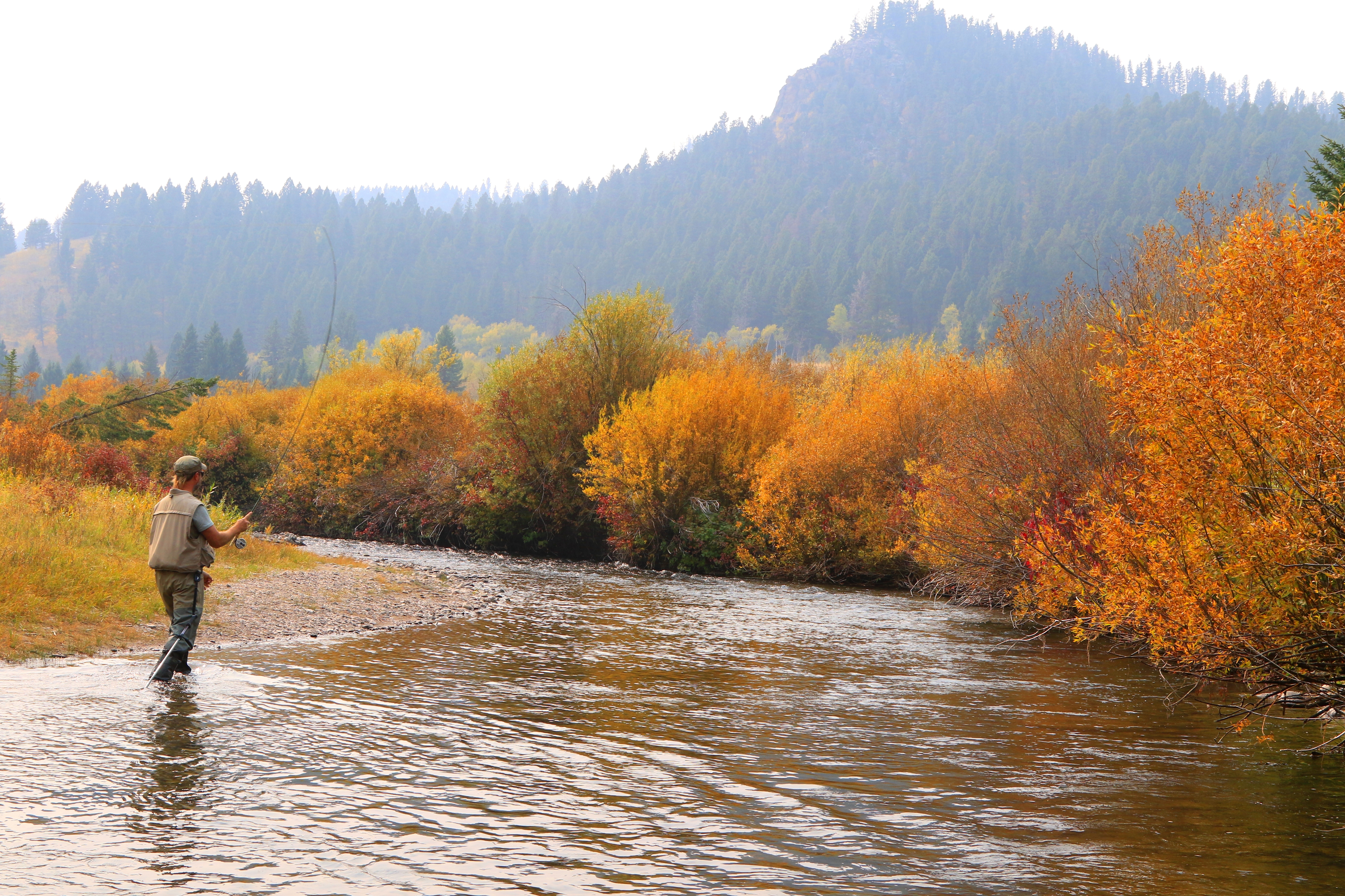
fly fishing in Beaverhead-Deerlodge National Forest, MT 653A5634

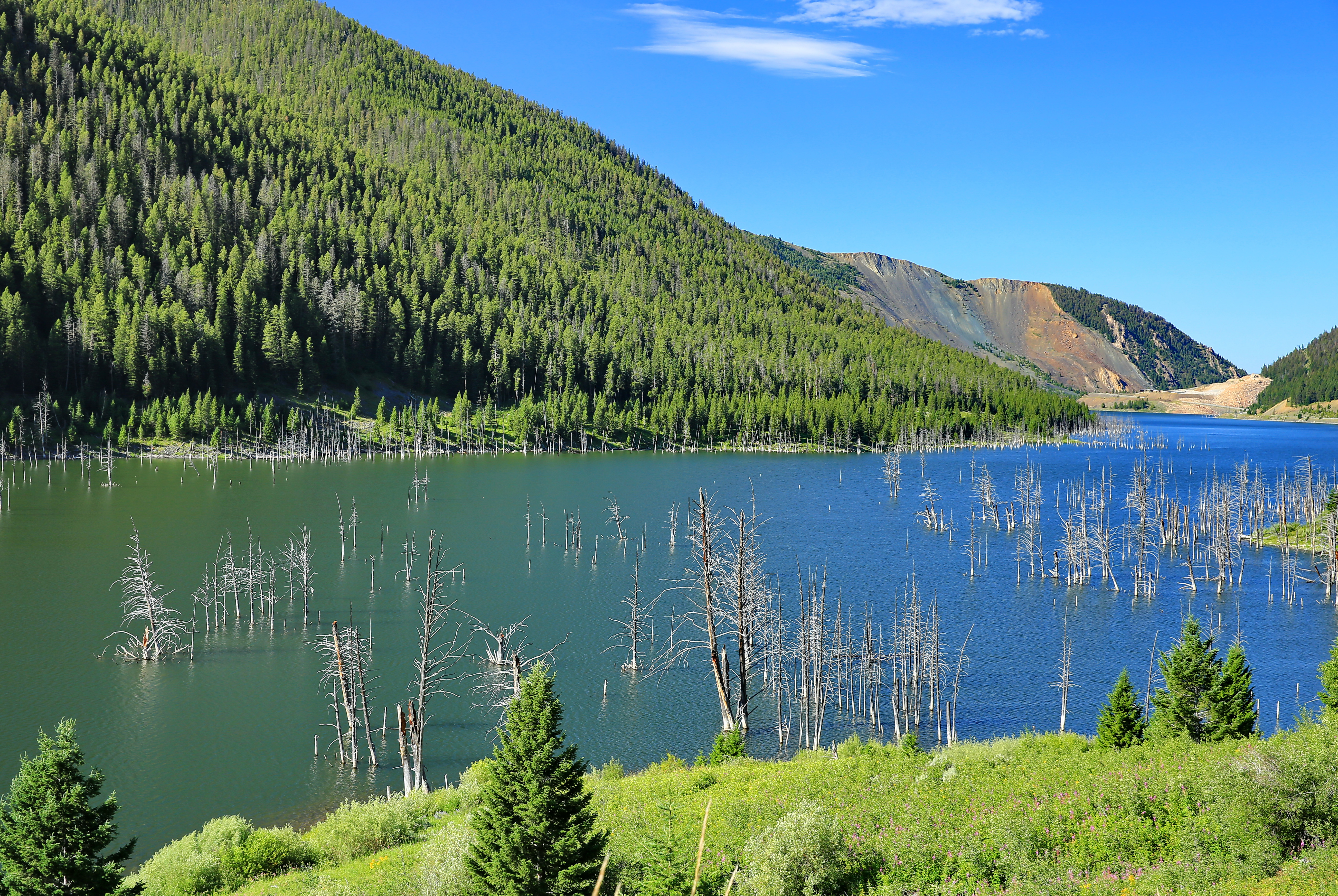
Quake Lake Earthquake, Montana

Quake Lake Earthquake, Montana

Quake Lake Earthquake, Montana

Just A Closer Walk

End of (summer) Days
Madison Range and Shadows, Gallatin County, MT
Earthquake Lake

Madison Range and Forest, Gallatin County, MT

Looking forword to winter
Clouds and Boat Mountain, Gallatin County, MT

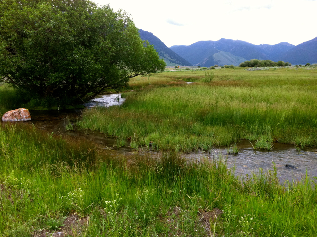
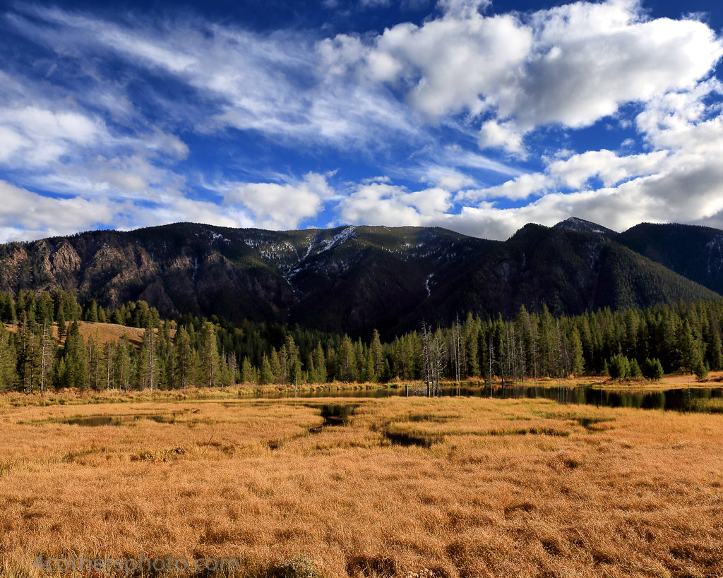
Beaver Creek

The Memorial Boulder rock at Earthquake Lake in Montana

On the Ranch

Stream Dreams

Green and gold

Madison River at Three Dollar Bridge, Mt (again!).

Hebgen Lake Landslide - Montana

Beaver Pond, revisited.
Topographic Map of Schusters Place, MT, USA
Find elevation by address:

Places near Schusters Place, MT, USA:
18 Sturdy Ln
Grahams Place
Wade Lake
Cliff Lake
Earthquake Lake Visitor Center
Unnamed Road
Jackpine Gulch
Walter Blessey Ponderosa Ranch
Cave Mountain
Henry's Lake Road
Flatiron Mountain
ID-87, Island Park, ID, USA
3855 Overlook Dr
Ruof Ditch
Henrys Lake
3869 Overlook Dr
3871 Overlook Dr
Overlook Drive
Overlook Drive
3875 Overlook Dr
Recent Searches:
- Elevation of Corso Fratelli Cairoli, 35, Macerata MC, Italy
- Elevation of Tallevast Rd, Sarasota, FL, USA
- Elevation of 4th St E, Sonoma, CA, USA
- Elevation of Black Hollow Rd, Pennsdale, PA, USA
- Elevation of Oakland Ave, Williamsport, PA, USA
- Elevation of Pedrógão Grande, Portugal
- Elevation of Klee Dr, Martinsburg, WV, USA
- Elevation of Via Roma, Pieranica CR, Italy
- Elevation of Tavkvetili Mountain, Georgia
- Elevation of Hartfords Bluff Cir, Mt Pleasant, SC, USA