Elevation of Cliff Lake, Montana, USA
Location: United States > Montana > Cameron >
Longitude: -111.54682
Latitude: 44.7717825
Elevation: 1925m / 6316feet
Barometric Pressure: 80KPa
Elevation Map:
Satellite Map:
Related Photos:
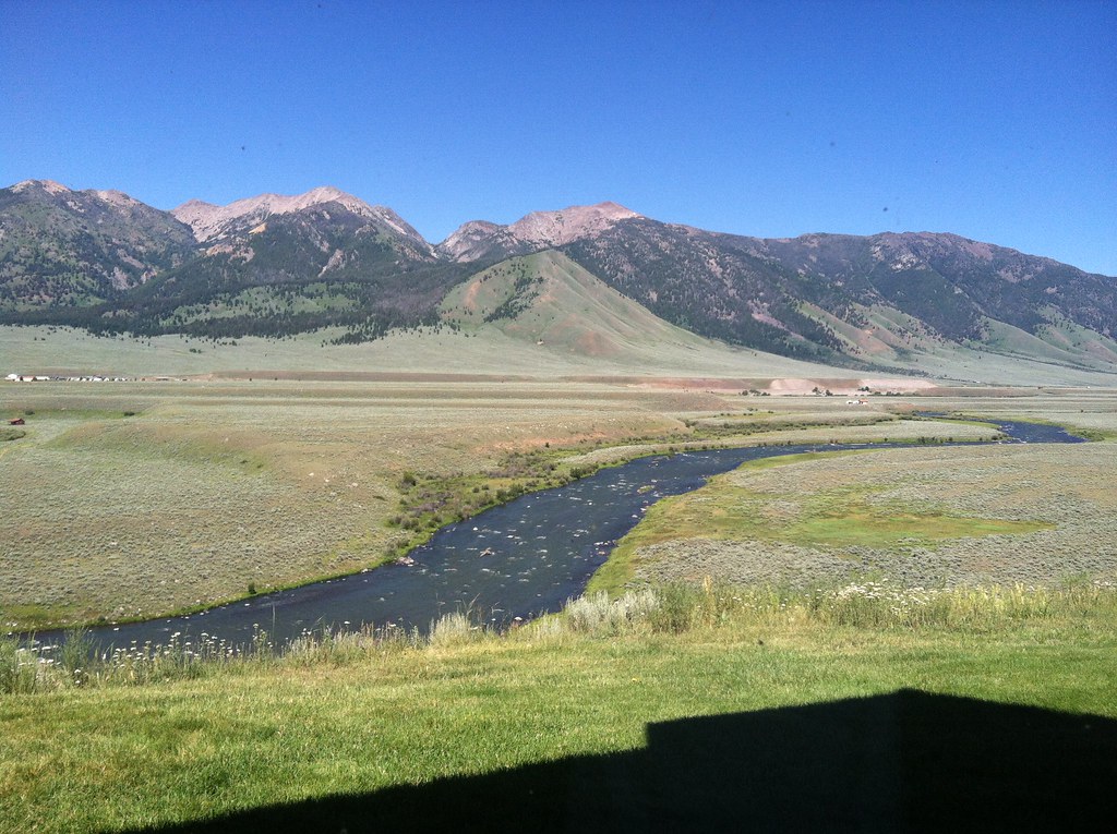
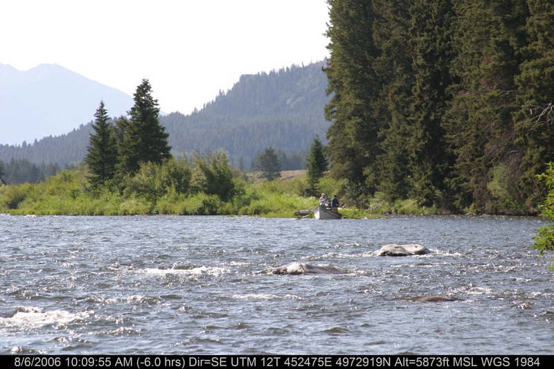
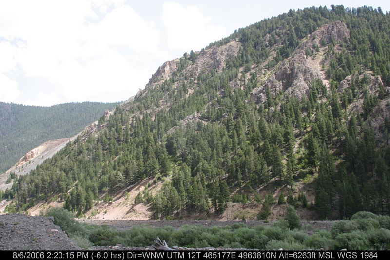
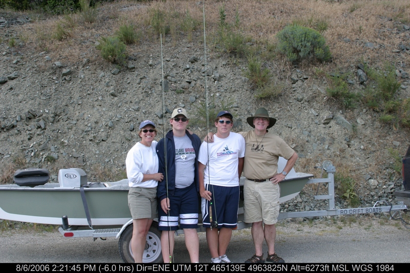
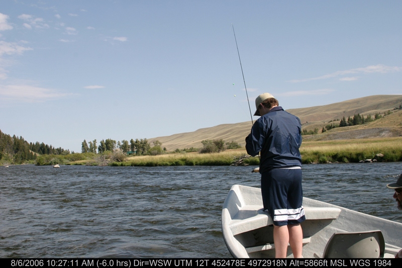
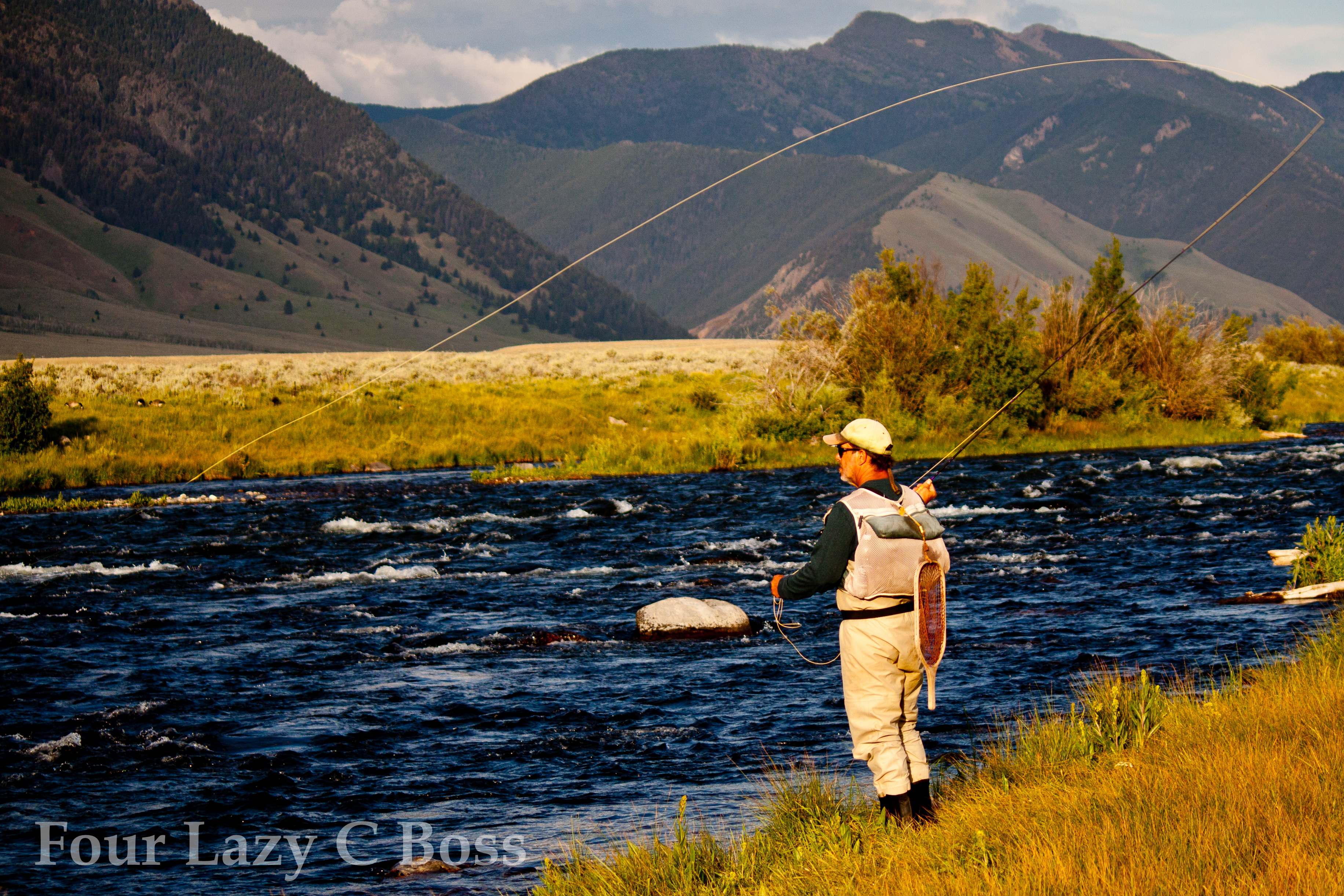
The Madison River
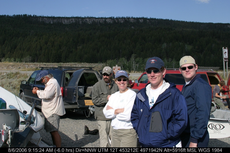
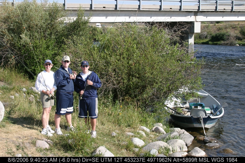
Corrals at Three Dollar Bridge
IMG_3866.JPG
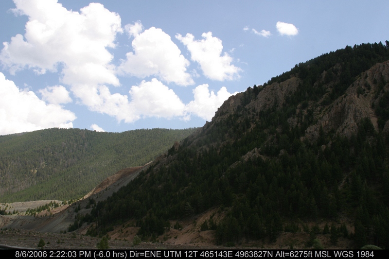
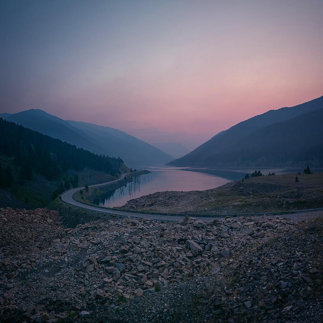
Quake Lake
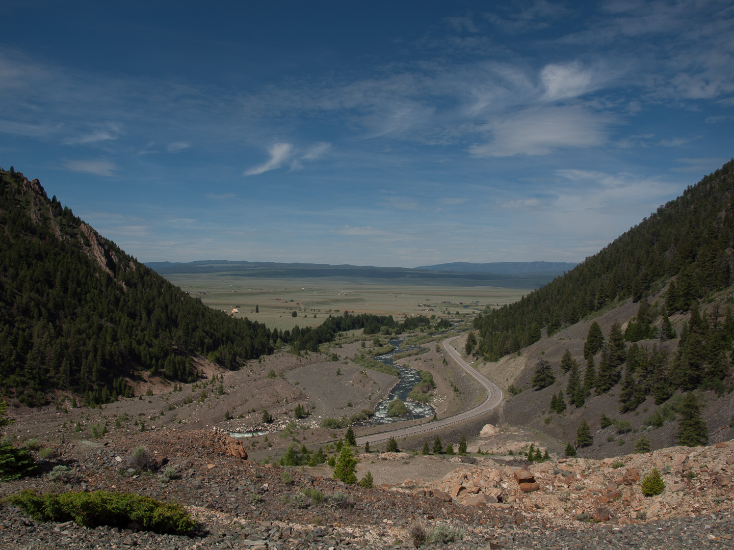
View down the Madison from the Earthquake Memorial
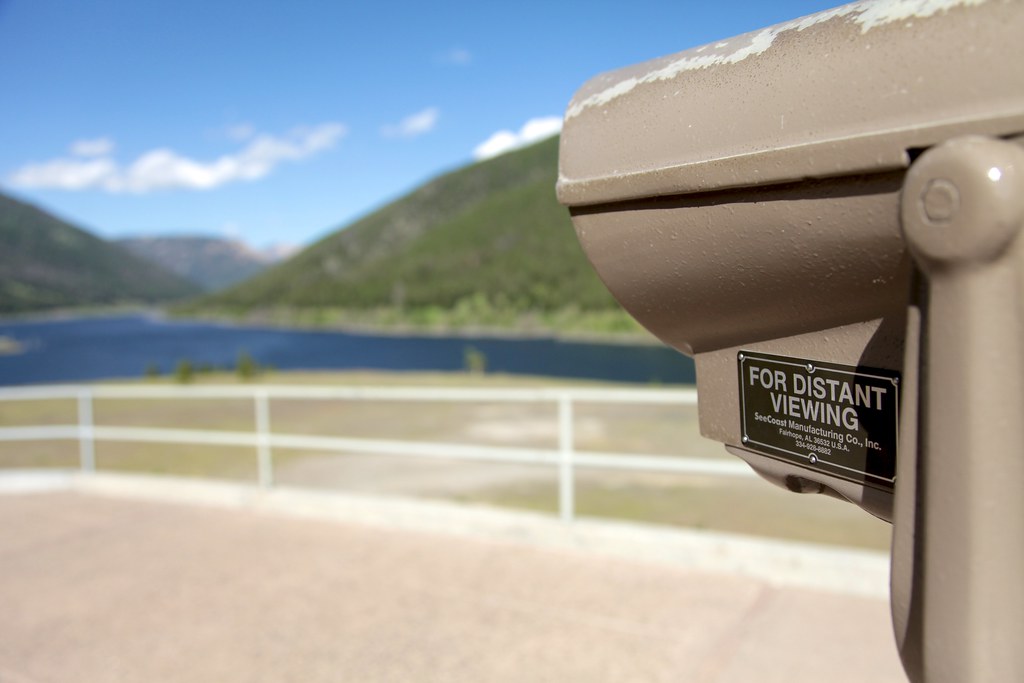
For Distant Viewing
IMG_3870.JPG
IMG_3880.JPG

Another view
IMG_3929.JPG
IMG_3876.JPG

IMG_3879.JPG
IMG_3927.JPG

IMG_3872.JPG

IMG_3878.JPG

IMG_3320.JPG
IMG_3874.JPG
IMG_3928.JPG

IMG_3881.JPG
IMG_3882.JPG
IMG_3877.JPG

End of (summer) Days

Green and gold
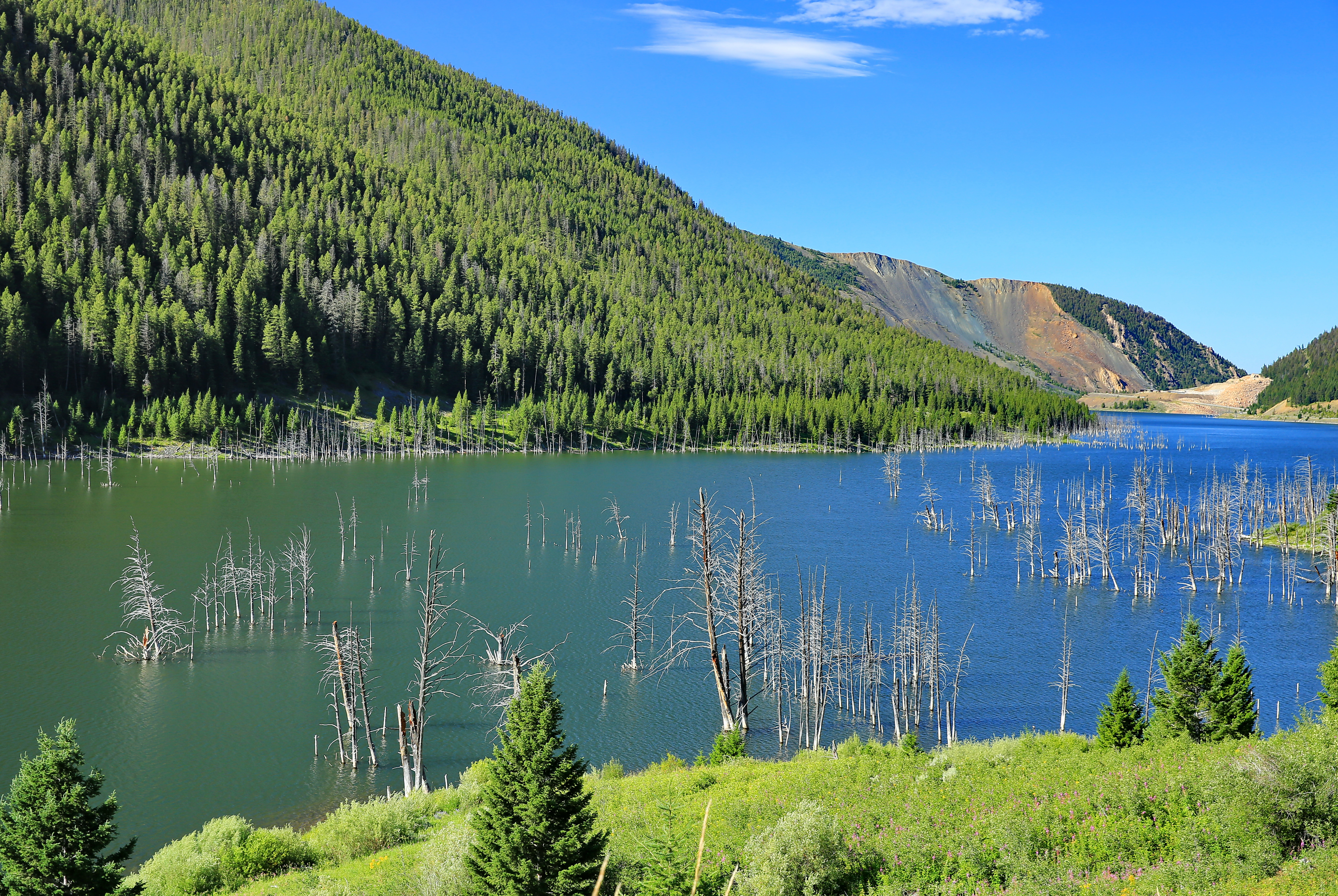
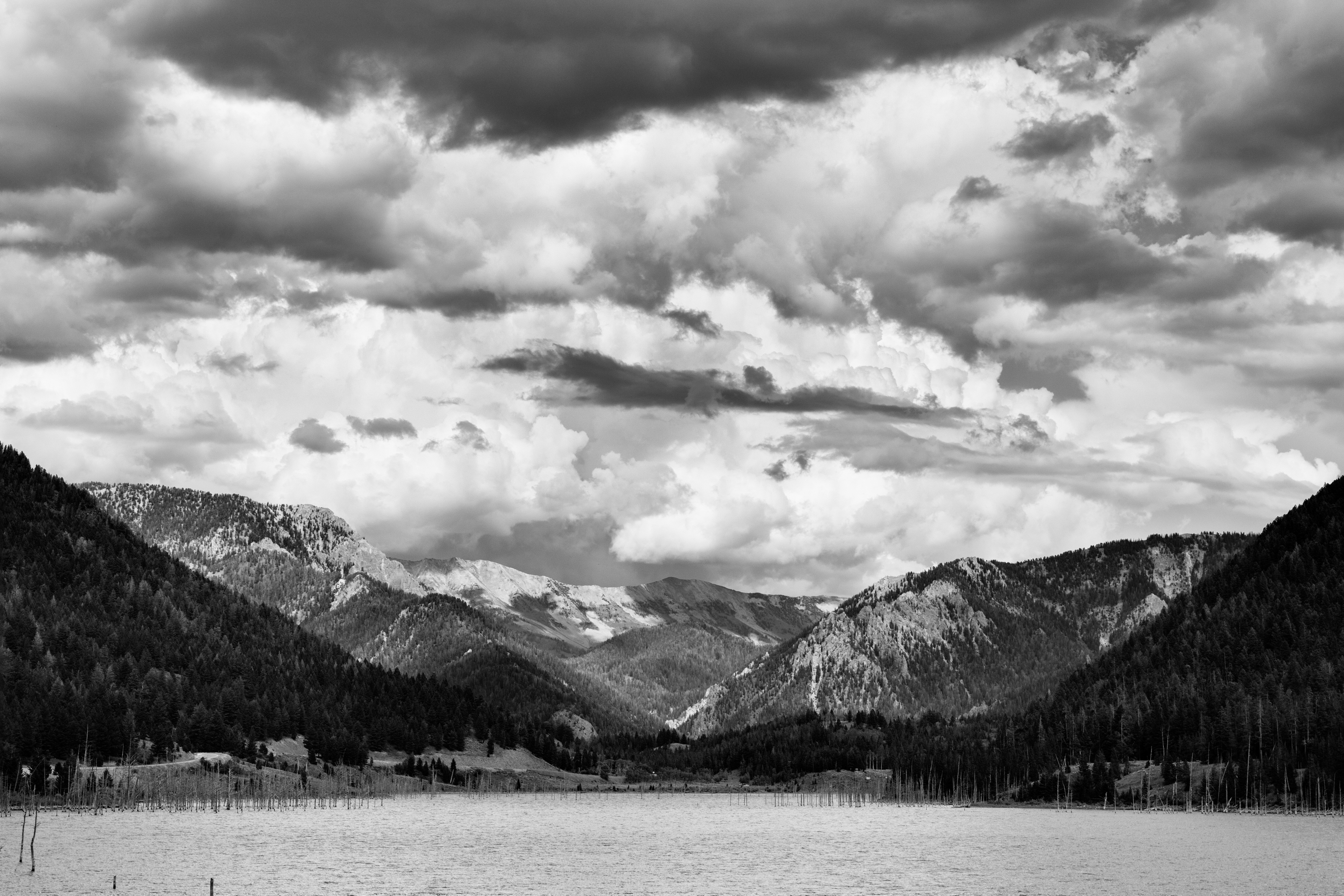
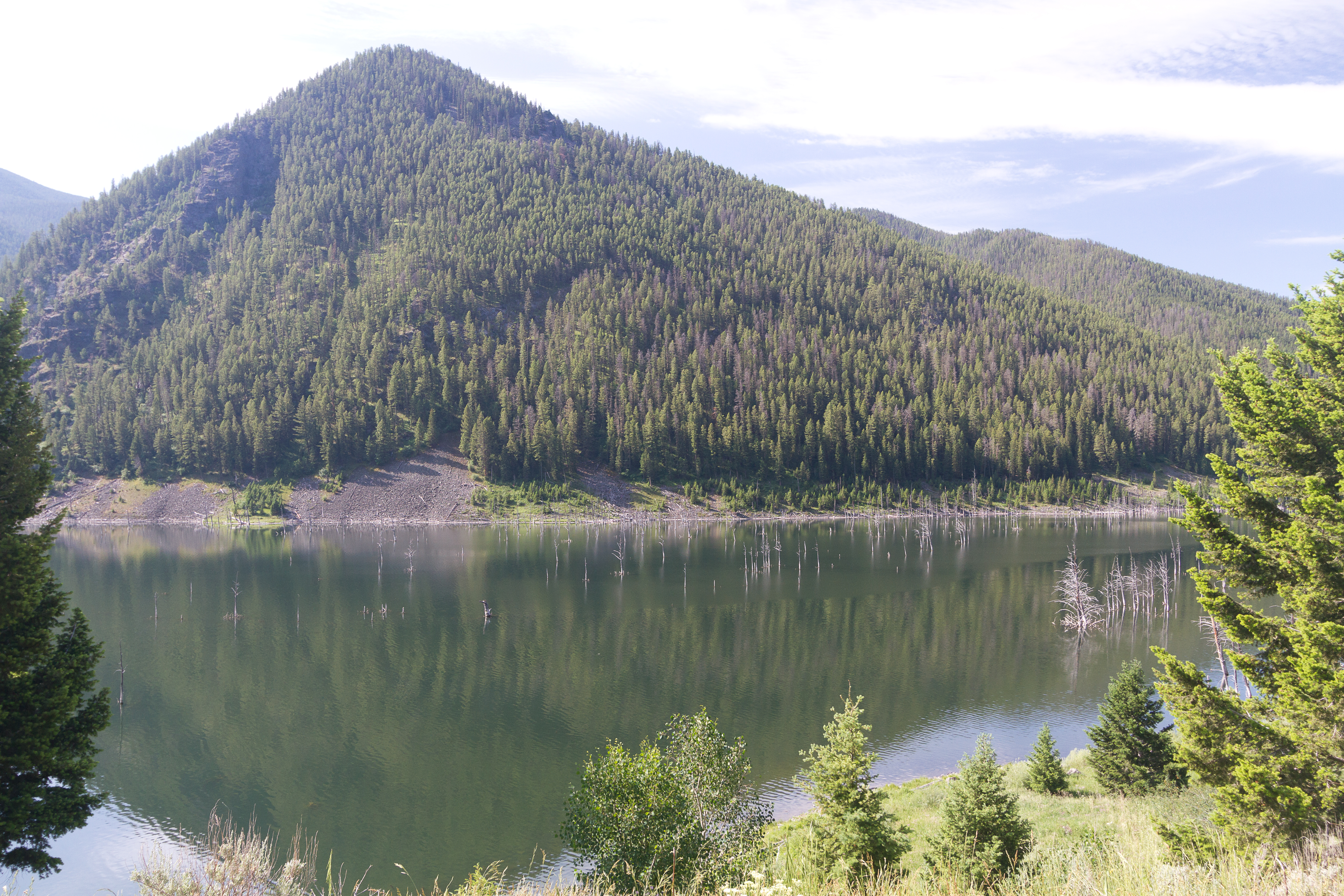
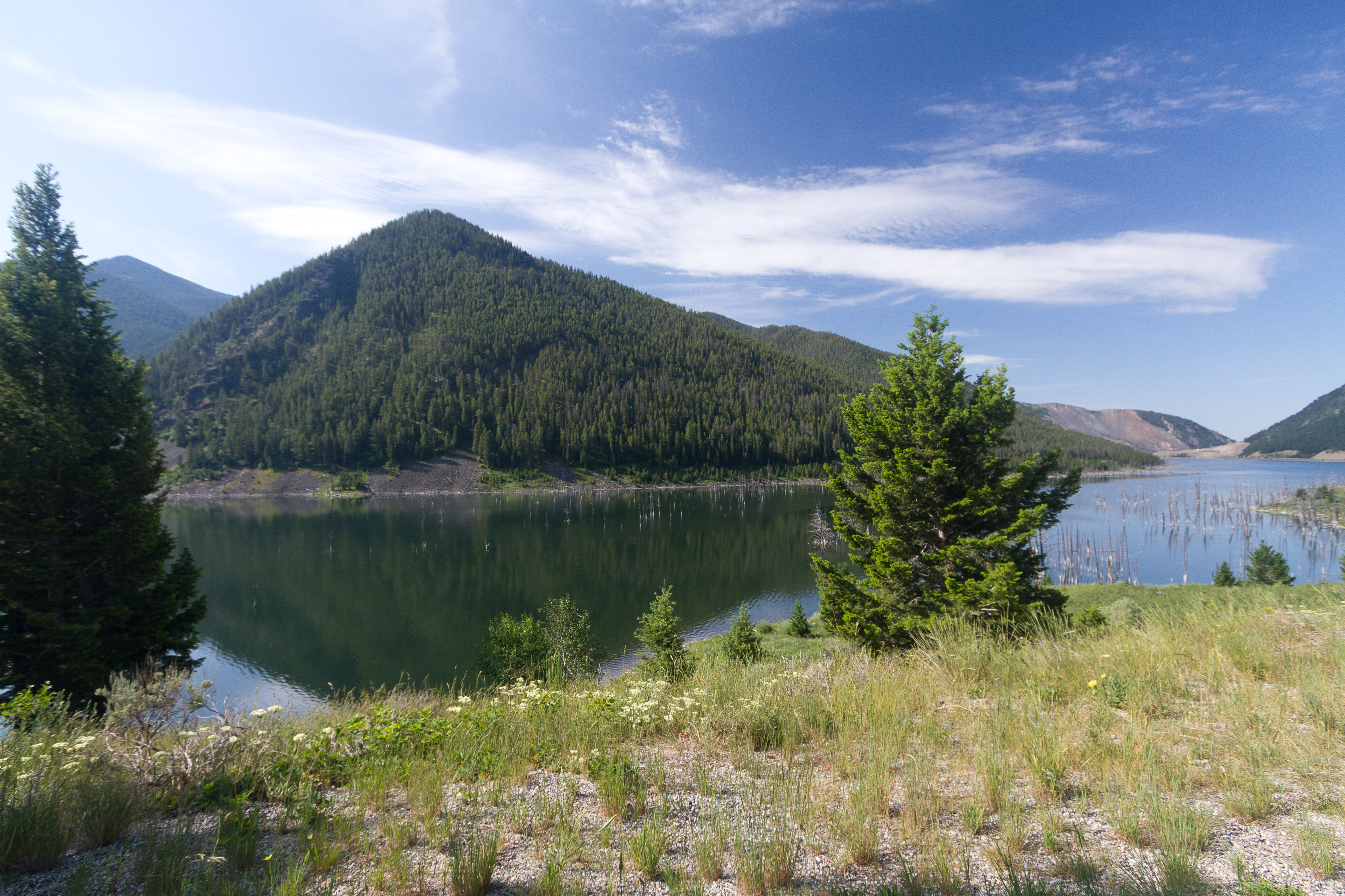
Earthquake Lake
Style On The Madison
On the Ranch

Madison River at Three Dollar Bridge, Mt (again!).
off route #montana #greateryellowstone #nonsequitur
Earthquake Lake
untitled201307040007.jpg

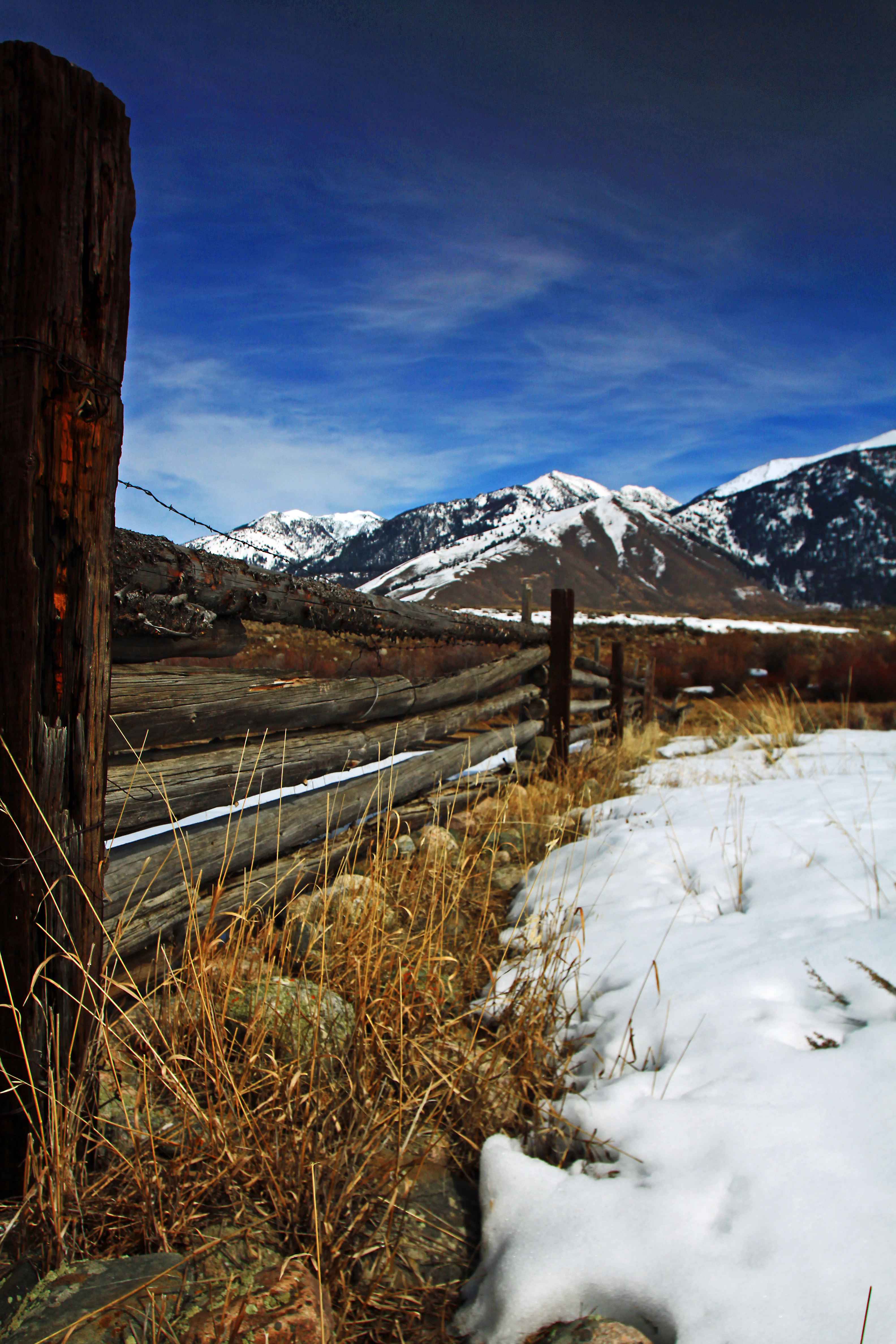
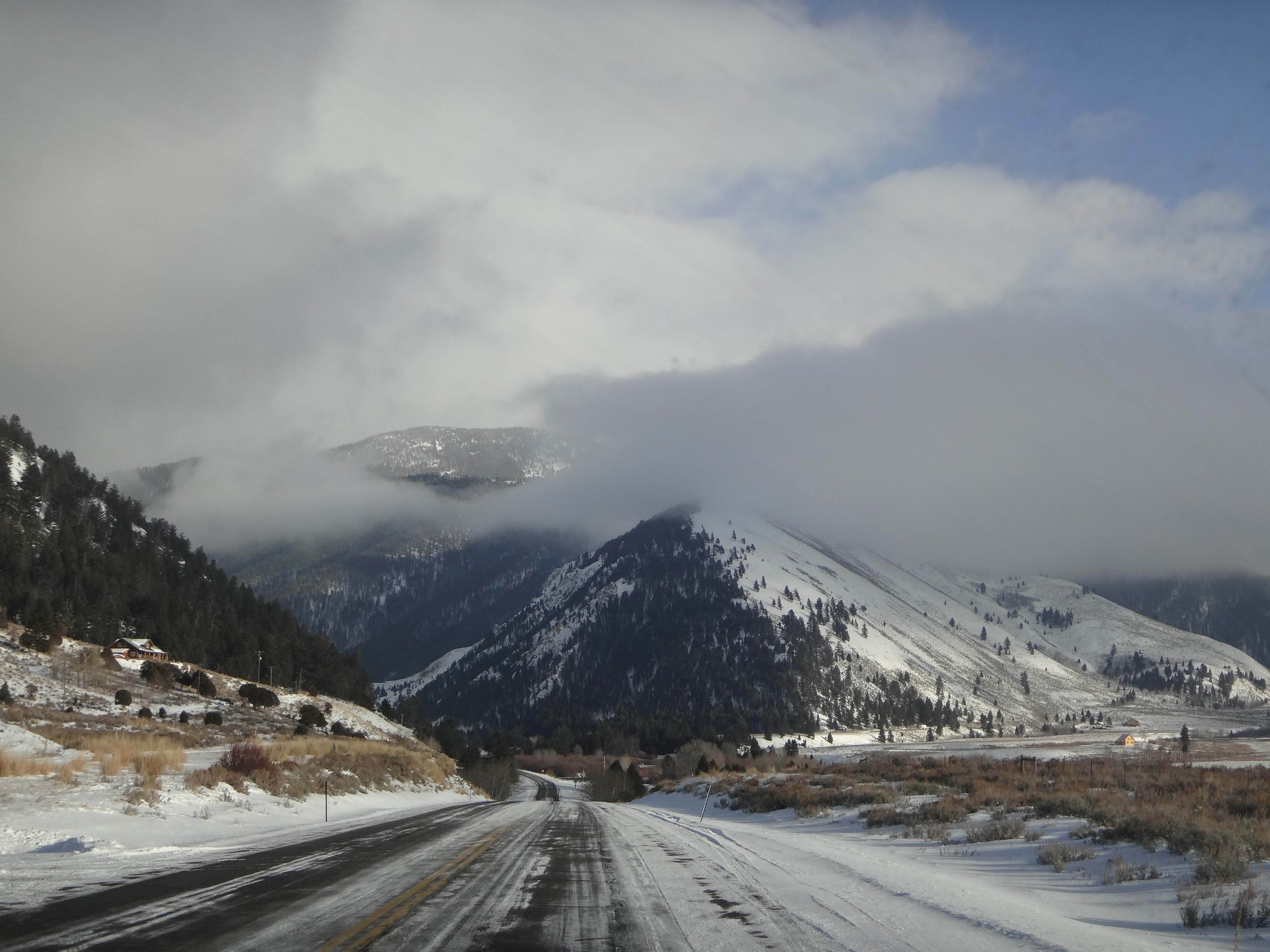
First day of winter!
Wade Lake, Montana

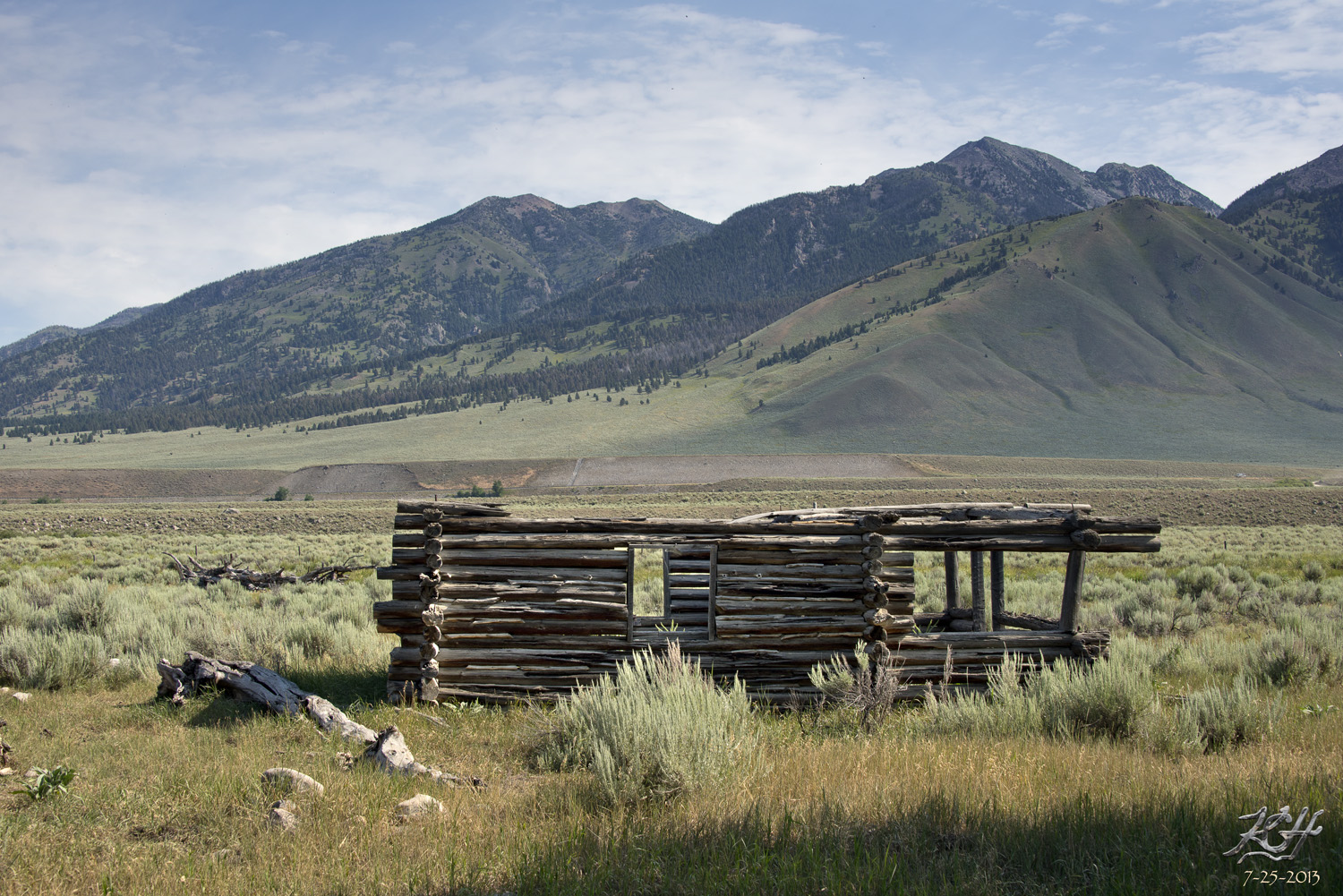
Ghost Town
lr5-02944.jpg
DSC_8511 Stitch
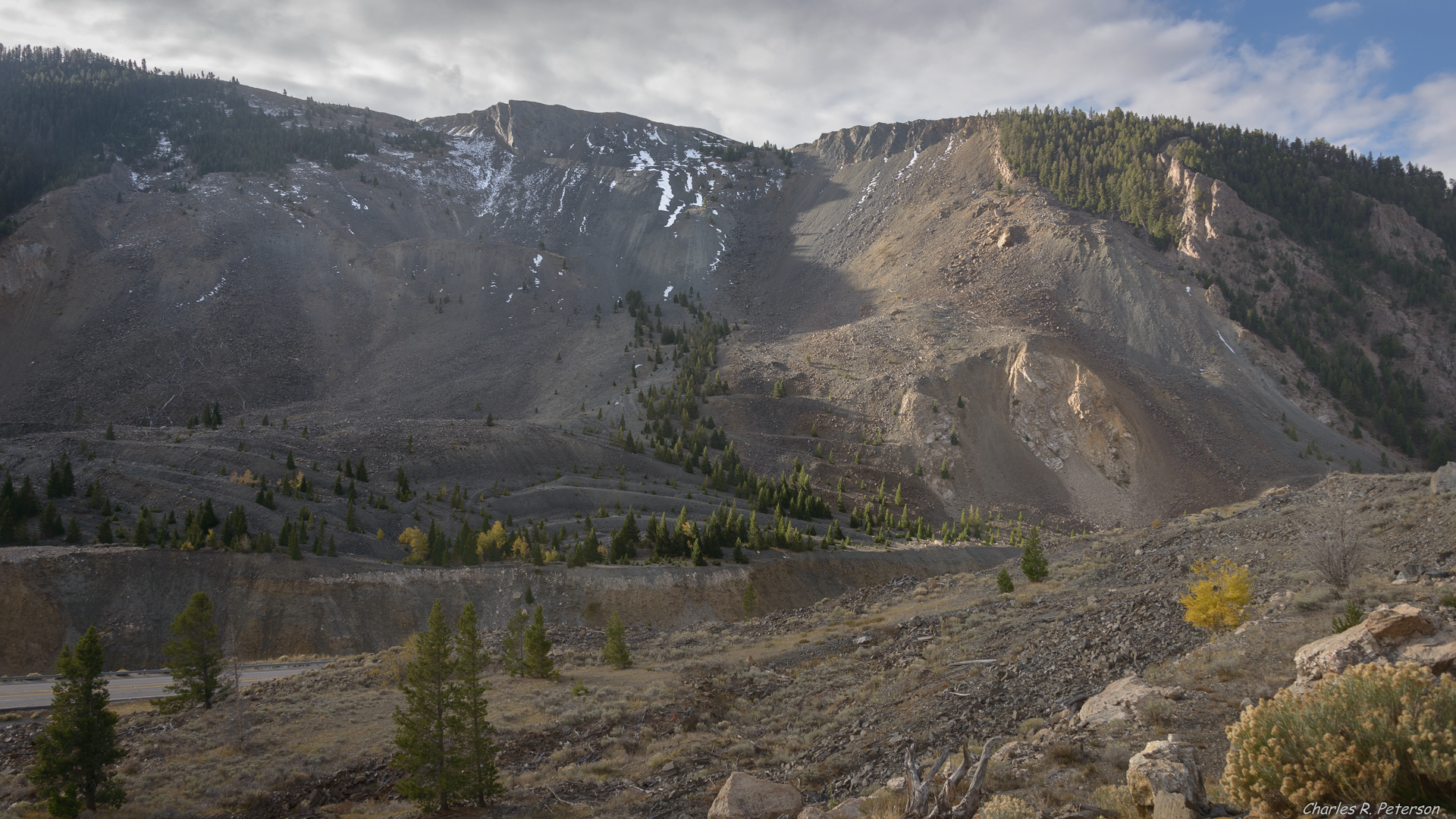
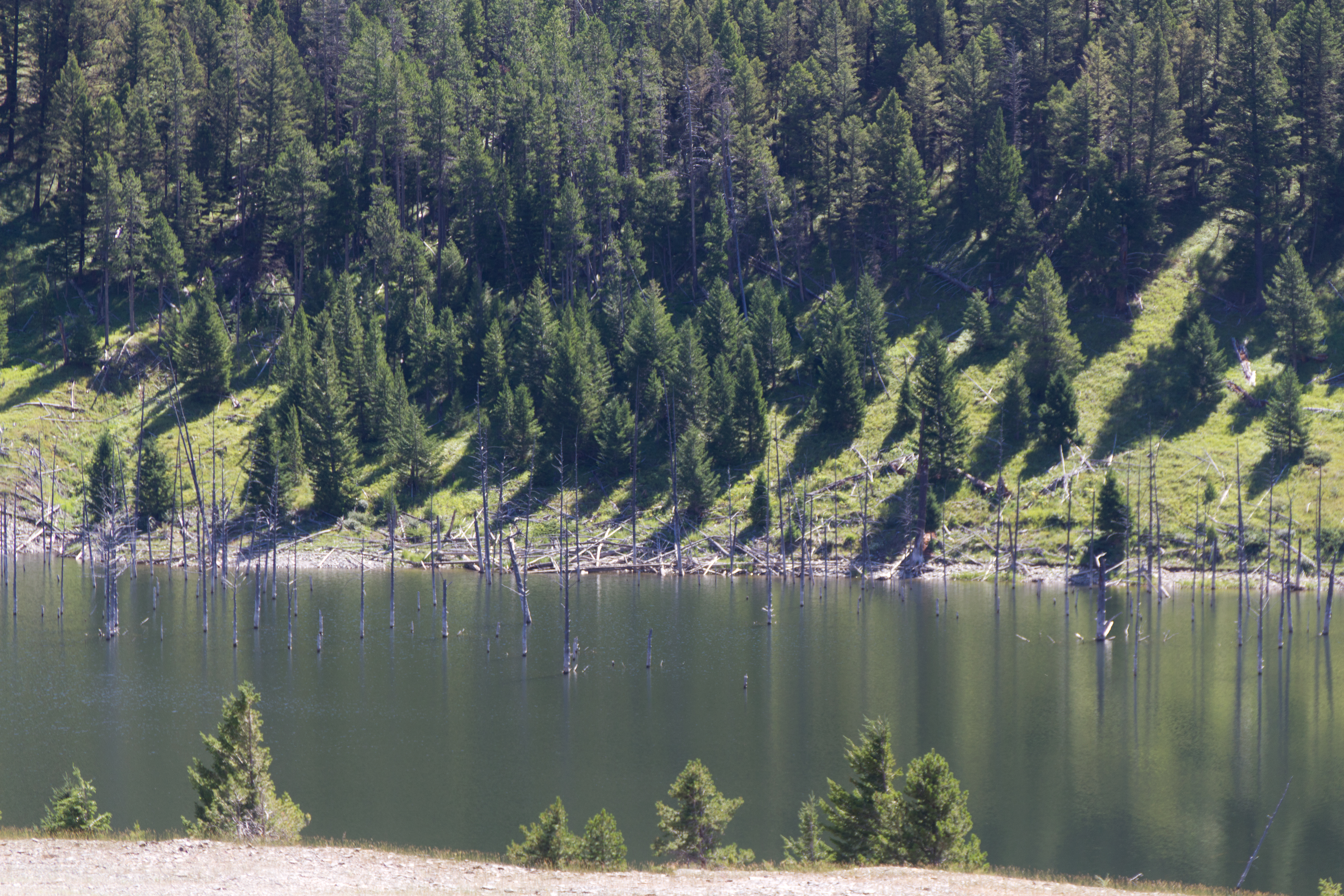
Hebgen Lake Landslide - Montana
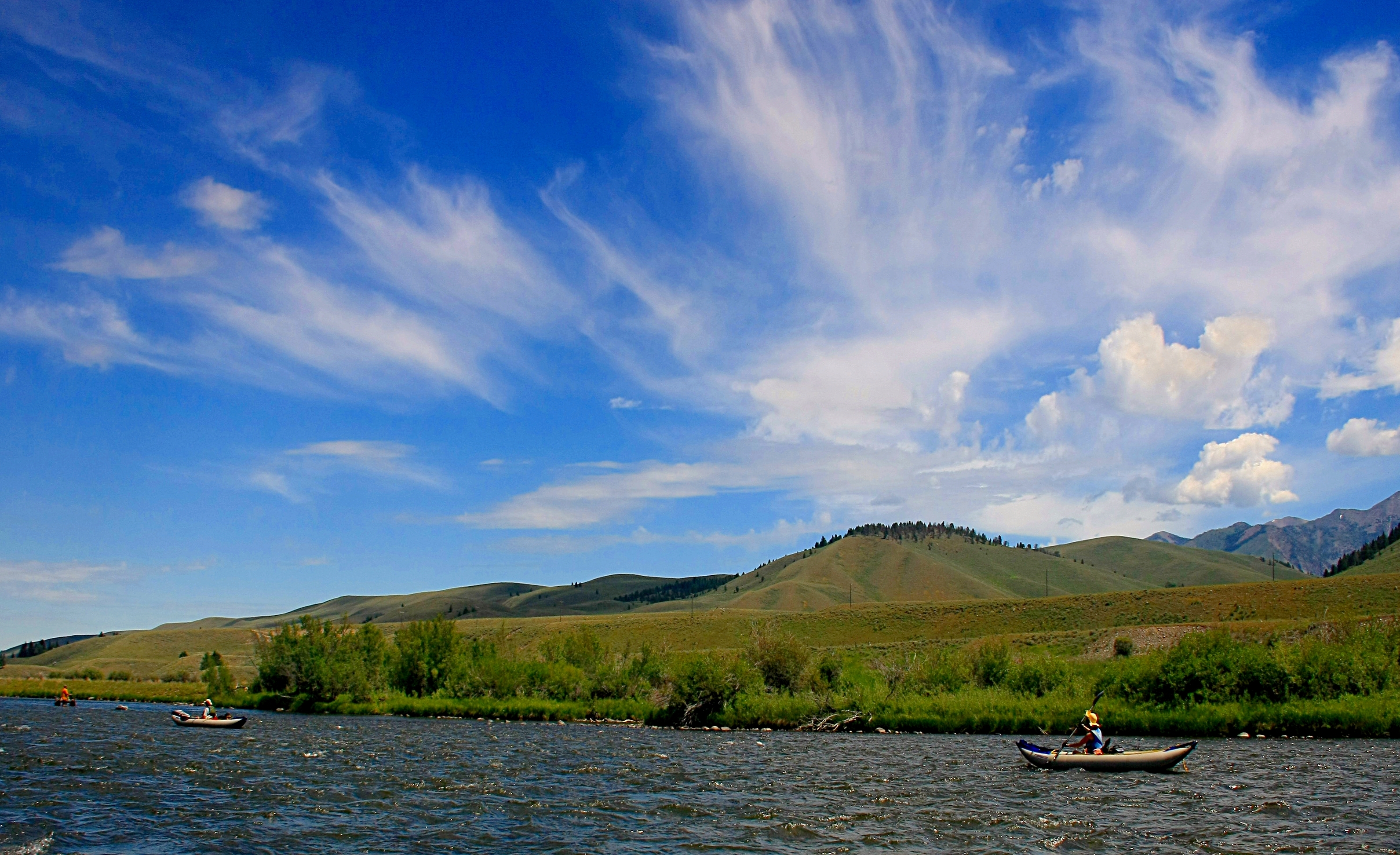
Float_The_Madison-Q1306xz
Yellowstone 2013-2014
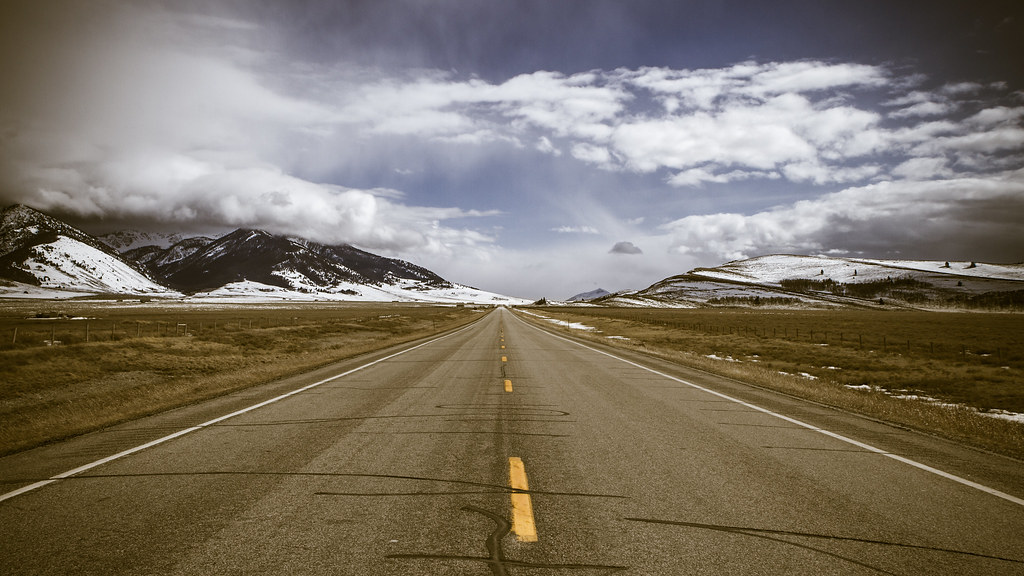
Long Road
untitled201307040003.jpg
untitled201307040005.jpg
Topographic Map of Cliff Lake, Montana, USA
Find elevation by address:

Places near Cliff Lake, Montana, USA:
Wade Lake
Jackpine Gulch
Grahams Place
Walter Blessey Ponderosa Ranch
Schusters Place
18 Sturdy Ln
Earthquake Lake Visitor Center
Henry's Lake Road
Henrys Lake
ID-87, Island Park, ID, USA
3855 Overlook Dr
3869 Overlook Dr
Overlook Drive
Overlook Drive
3871 Overlook Dr
3875 Overlook Dr
3707 Red Rock Rd
Redrock Rv Park
Unnamed Road
Sawtell Peak
Recent Searches:
- Elevation of Corso Fratelli Cairoli, 35, Macerata MC, Italy
- Elevation of Tallevast Rd, Sarasota, FL, USA
- Elevation of 4th St E, Sonoma, CA, USA
- Elevation of Black Hollow Rd, Pennsdale, PA, USA
- Elevation of Oakland Ave, Williamsport, PA, USA
- Elevation of Pedrógão Grande, Portugal
- Elevation of Klee Dr, Martinsburg, WV, USA
- Elevation of Via Roma, Pieranica CR, Italy
- Elevation of Tavkvetili Mountain, Georgia
- Elevation of Hartfords Bluff Cir, Mt Pleasant, SC, USA