Elevation of Walter Blessey Ponderosa Ranch, Cameron, MT, USA
Location: United States > Montana > Cameron >
Longitude: -111.46947
Latitude: 44.7112899
Elevation: 2082m / 6831feet
Barometric Pressure: 79KPa
Elevation Map:
Satellite Map:
Related Photos:

Gray day at dirt road and sagebrush on the Continental Divide at the Montana/Idaho border.

Continental Divide, Idaho

Welcome to Idaho; Centenniel 1890-1990

The Madison River
Cliff Lake, Montana

Quake Lake

Corrals at Three Dollar Bridge
View down the Madison from the Earthquake Memorial
Another view

For Distant Viewing

IMG_3926.JPG

IMG_3925.JPG

IMG_3929.JPG

IMG_3928.JPG

IMG_3927.JPG
IMG_3866.JPG

IMG_3870.JPG

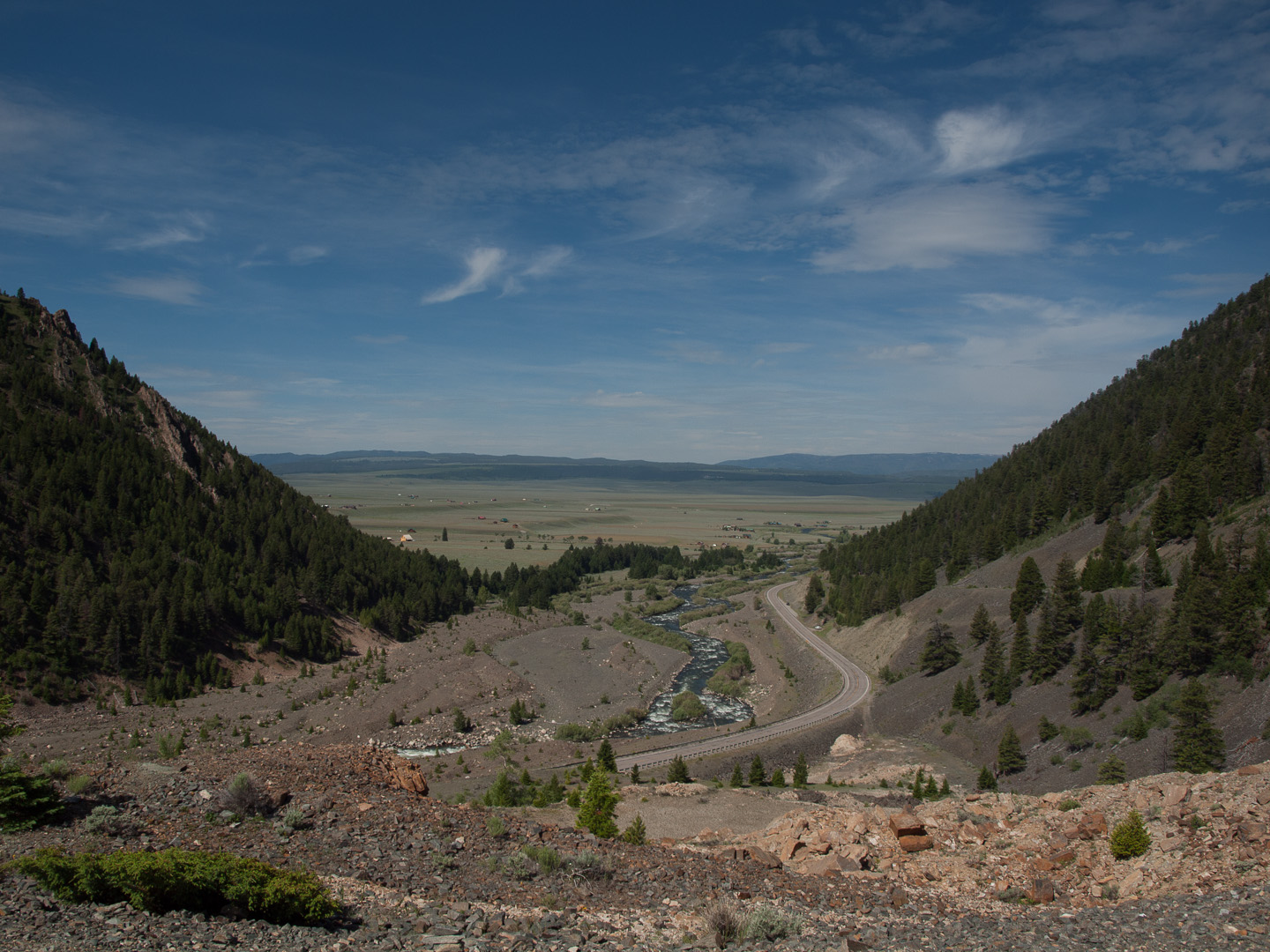
Along Red Rock Road

into the-Twightlight-zone

Hebgen Lake Landslide - Montana

1959 Yellowstone Earthquake

1959 Yellowstone Earthquake

2015-05-01_12-45-06

Quake Lake - Montana

Idaho Aspens

Somewhere out there in Idaho

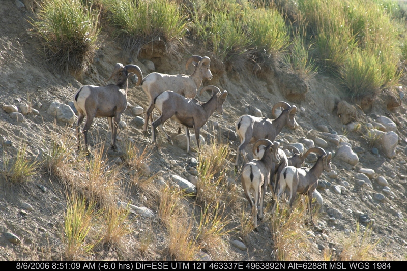
Fall Roundup

Quake Lake Earthquake, Montana

Quake Lake Earthquake, Montana

Quake Lake Earthquake, Montana

End of (summer) Days

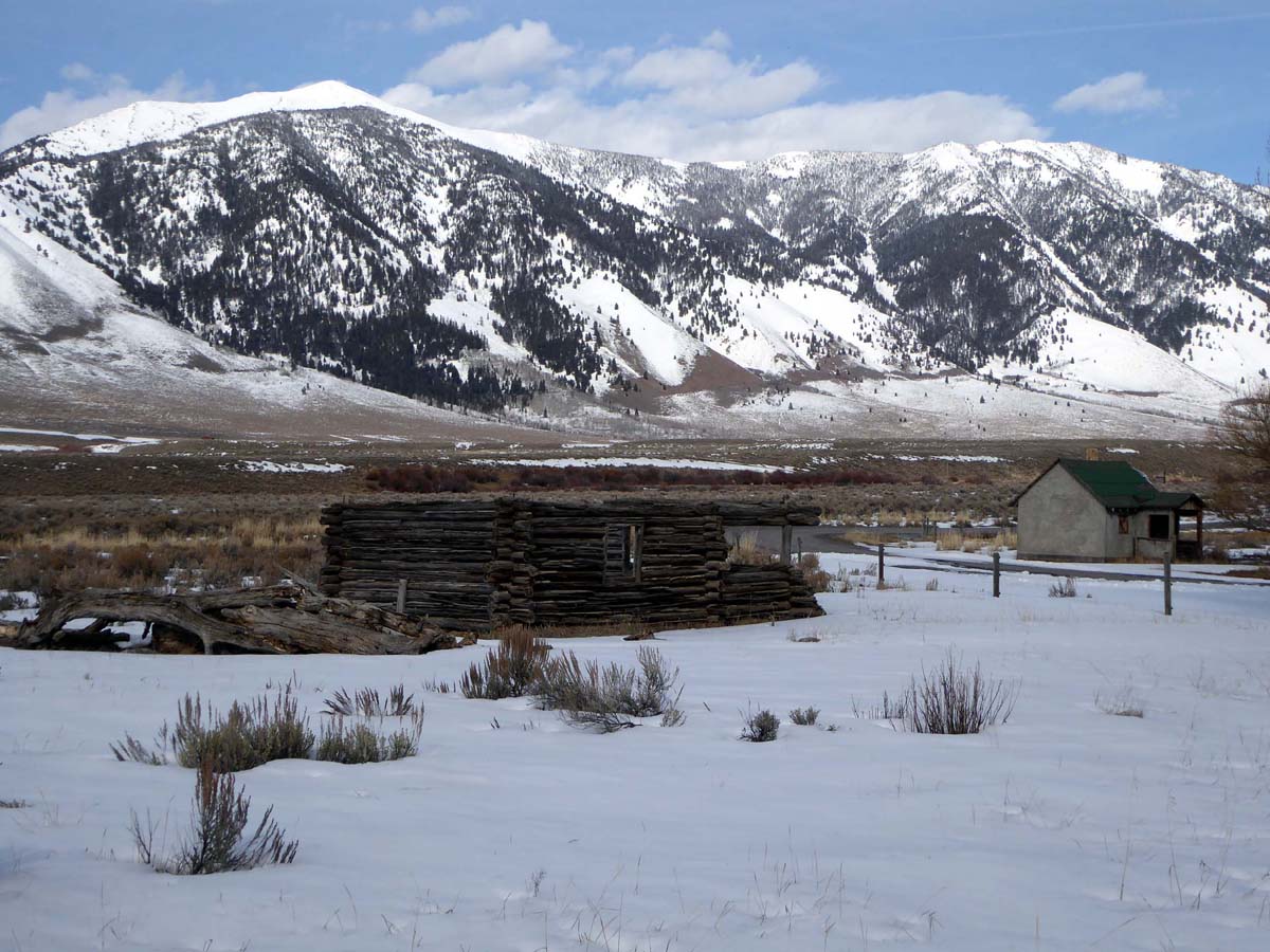
On the Ranch

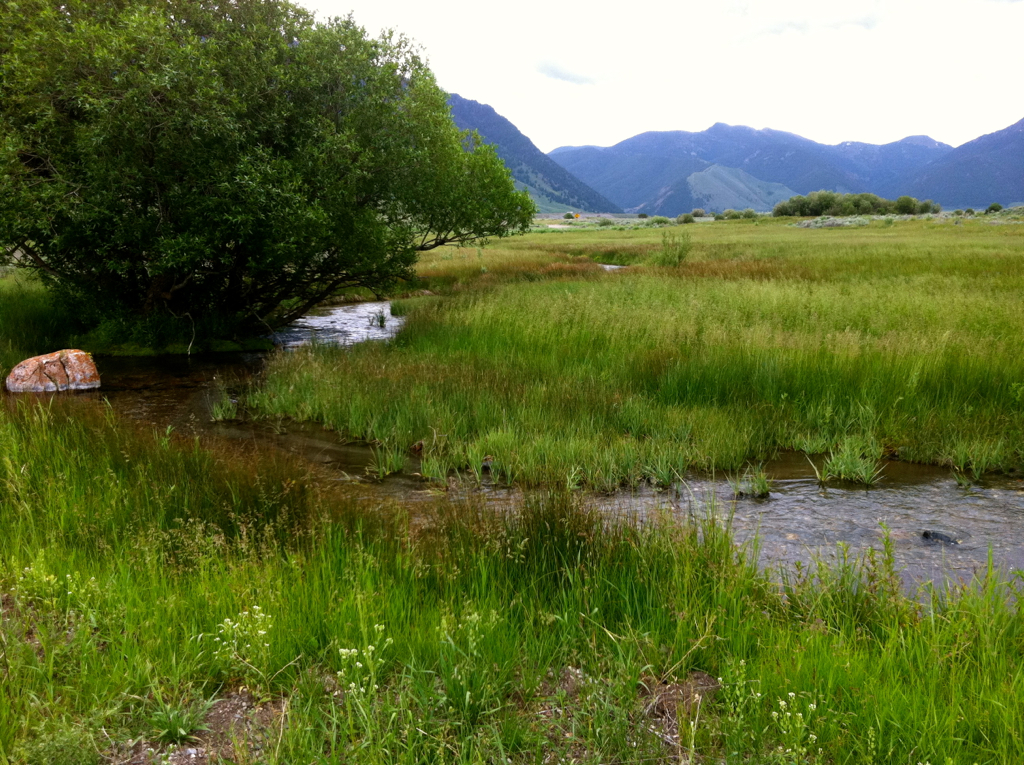
Stream Dreams

Green and gold

Madison River at Three Dollar Bridge, Mt (again!).
Topographic Map of Walter Blessey Ponderosa Ranch, Cameron, MT, USA
Find elevation by address:

Places near Walter Blessey Ponderosa Ranch, Cameron, MT, USA:
Henry's Lake Road
Henrys Lake
ID-87, Island Park, ID, USA
3855 Overlook Dr
3869 Overlook Dr
Overlook Drive
Overlook Drive
3871 Overlook Dr
Cliff Lake
3875 Overlook Dr
3707 Red Rock Rd
Redrock Rv Park
Earthquake Lake Visitor Center
Sawtell Peak
Wade Lake
Jackpine Gulch
Schusters Place
4779 Pinion
Grahams Place
18 Sturdy Ln
Recent Searches:
- Elevation of Corso Fratelli Cairoli, 35, Macerata MC, Italy
- Elevation of Tallevast Rd, Sarasota, FL, USA
- Elevation of 4th St E, Sonoma, CA, USA
- Elevation of Black Hollow Rd, Pennsdale, PA, USA
- Elevation of Oakland Ave, Williamsport, PA, USA
- Elevation of Pedrógão Grande, Portugal
- Elevation of Klee Dr, Martinsburg, WV, USA
- Elevation of Via Roma, Pieranica CR, Italy
- Elevation of Tavkvetili Mountain, Georgia
- Elevation of Hartfords Bluff Cir, Mt Pleasant, SC, USA