Elevation of Sattur, Tamil Nadu, India
Location: India > Tamil Nadu > Virudhunagar >
Longitude: 77.9110321
Latitude: 9.3644204
Elevation: 70m / 230feet
Barometric Pressure: 100KPa
Elevation Map:
Satellite Map:
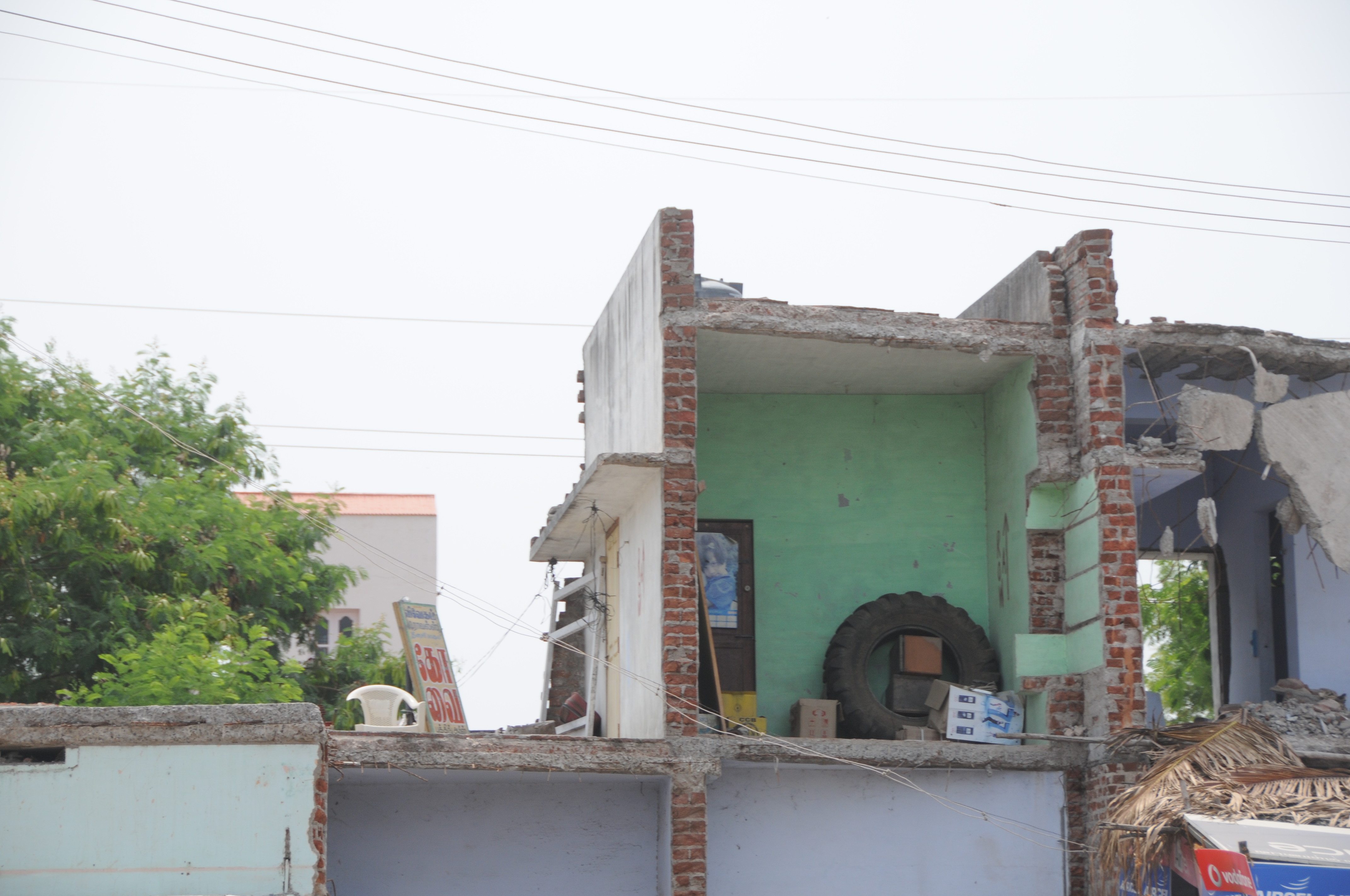
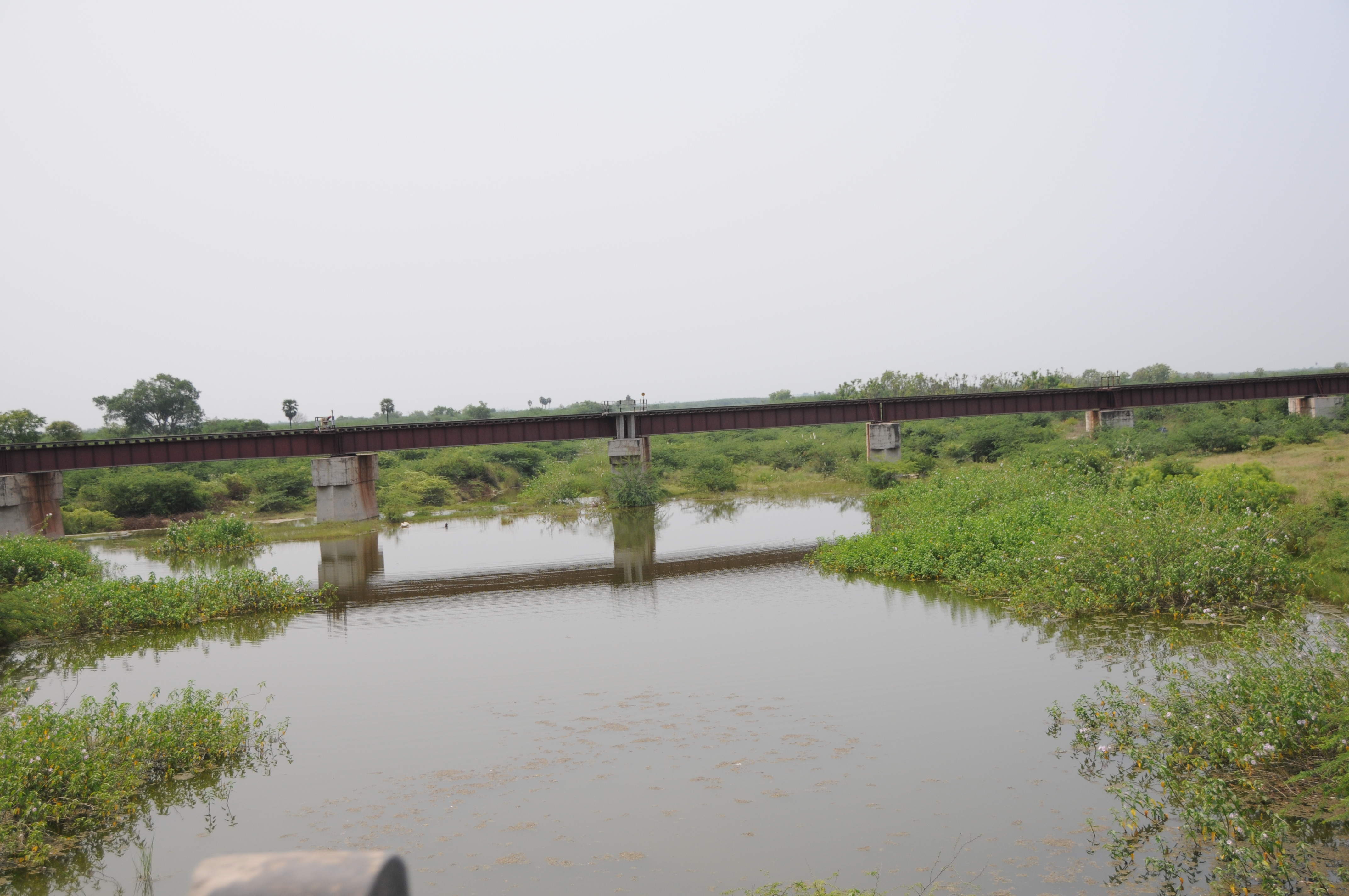
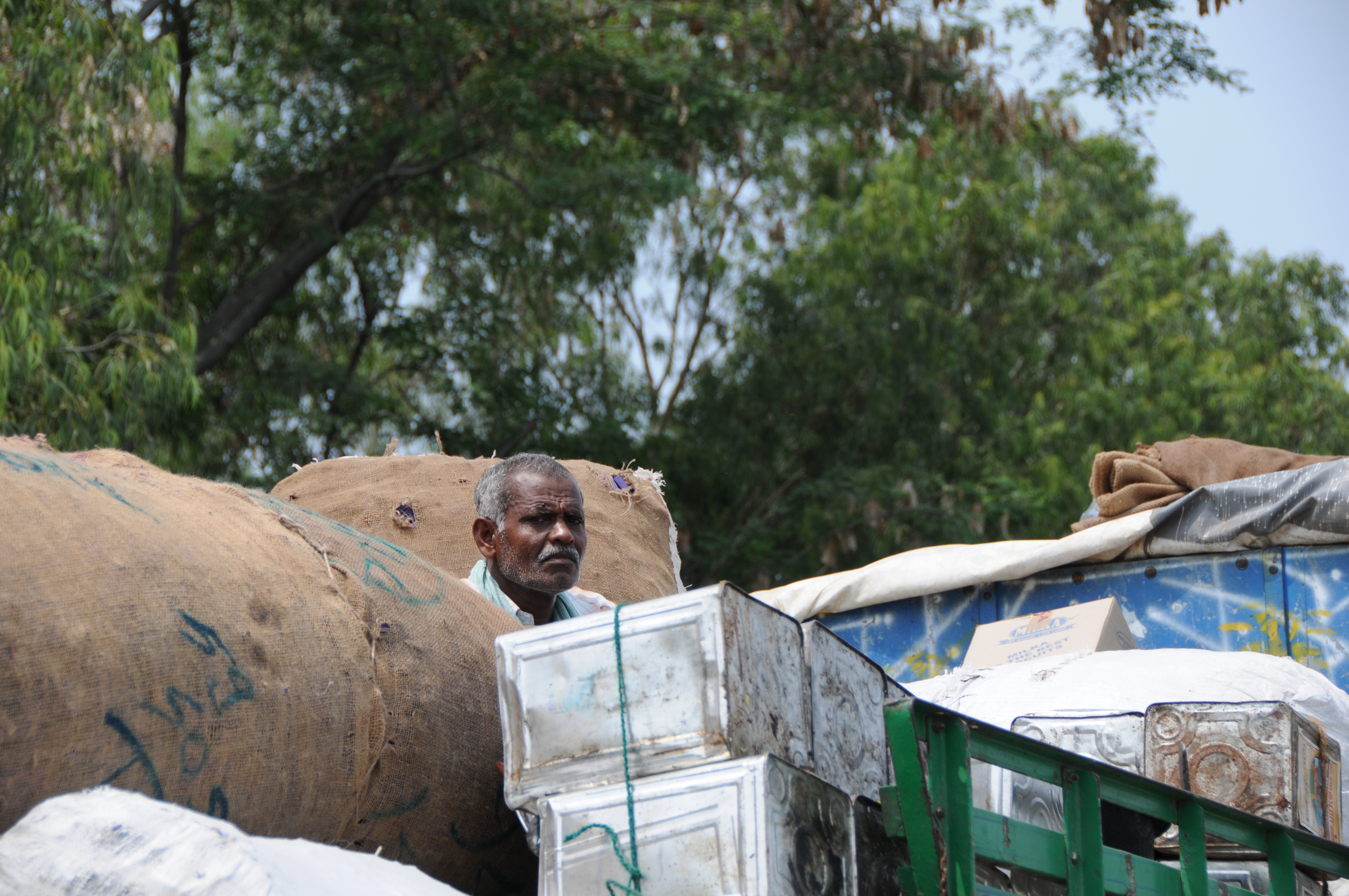
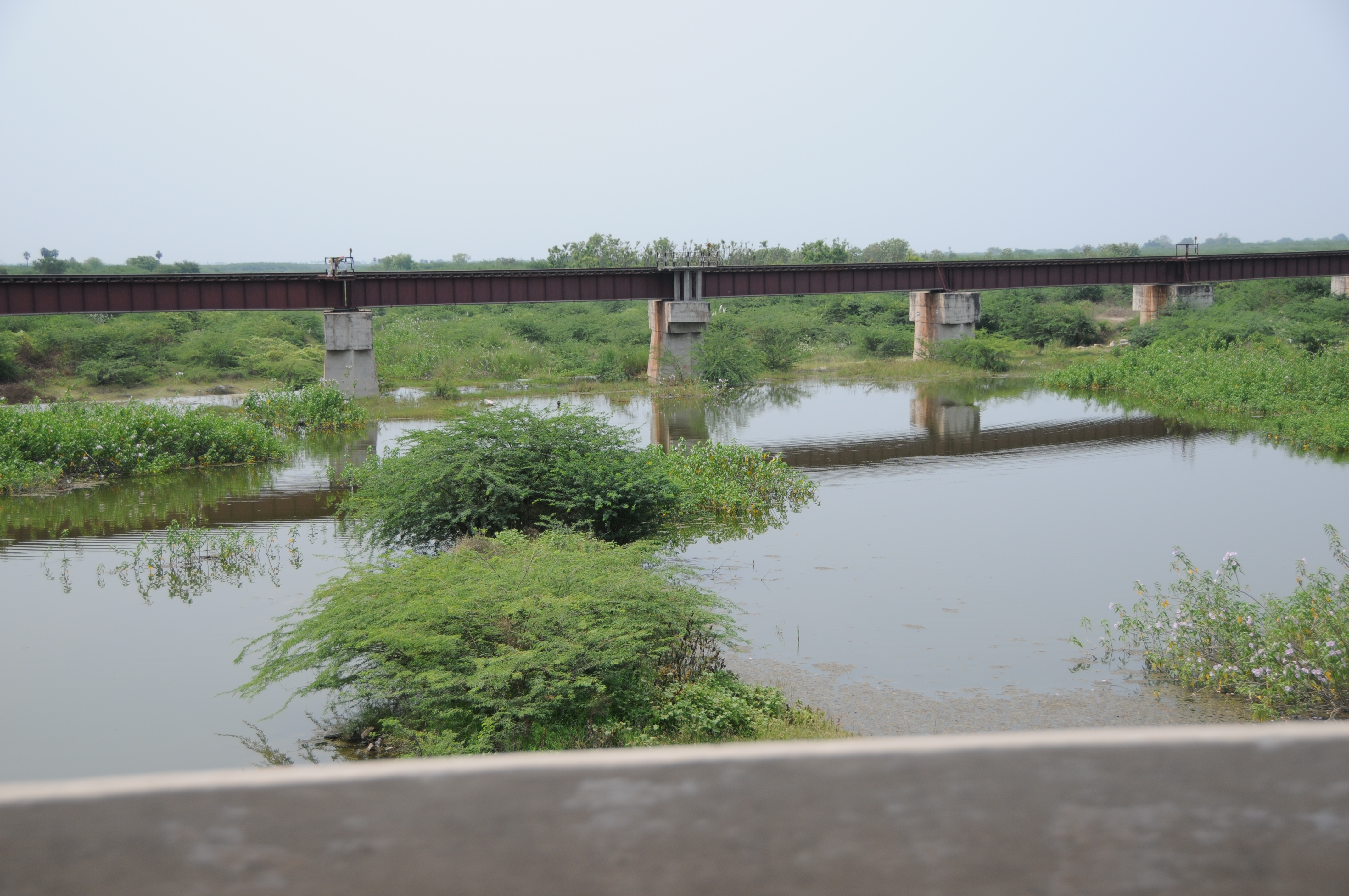
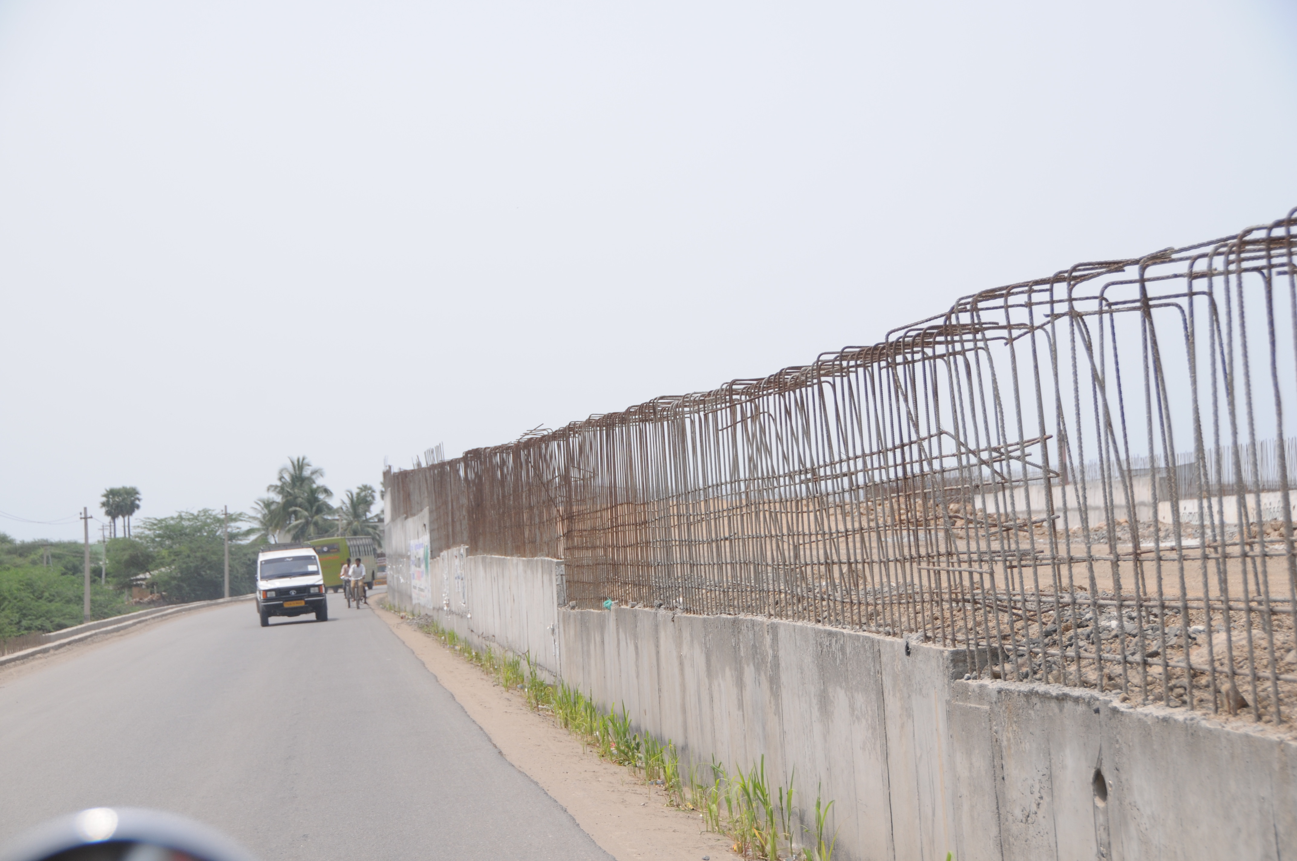
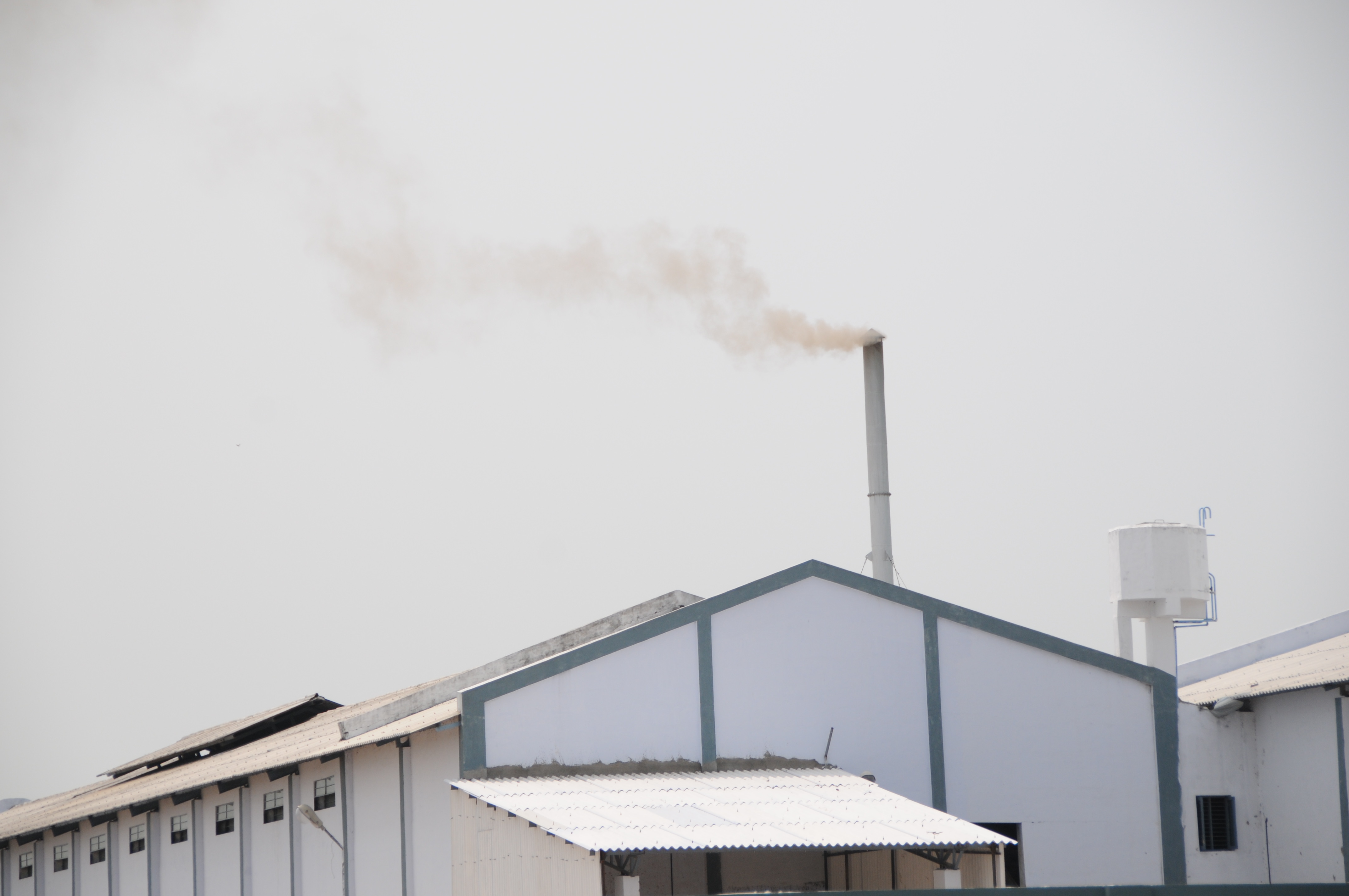
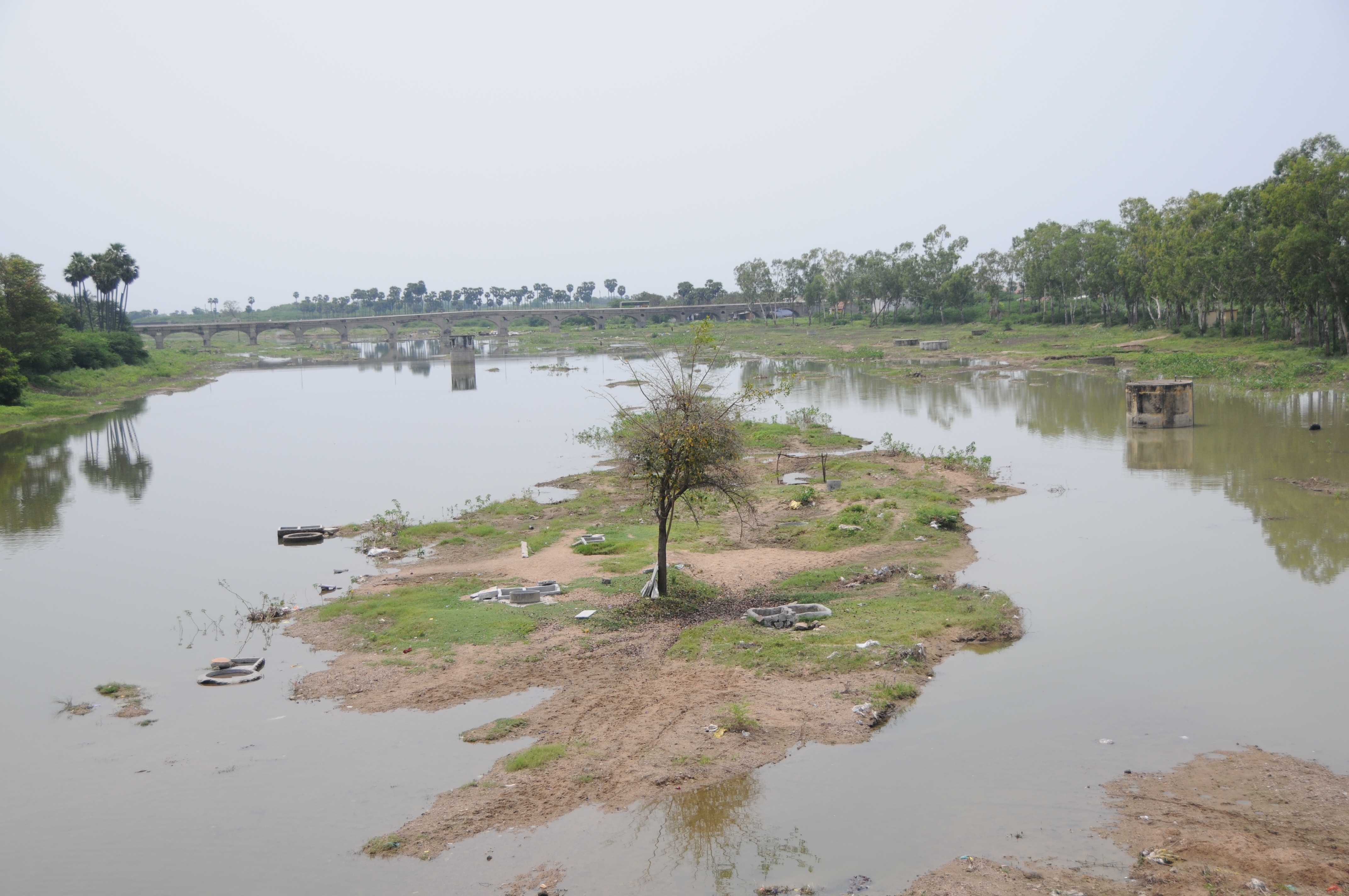
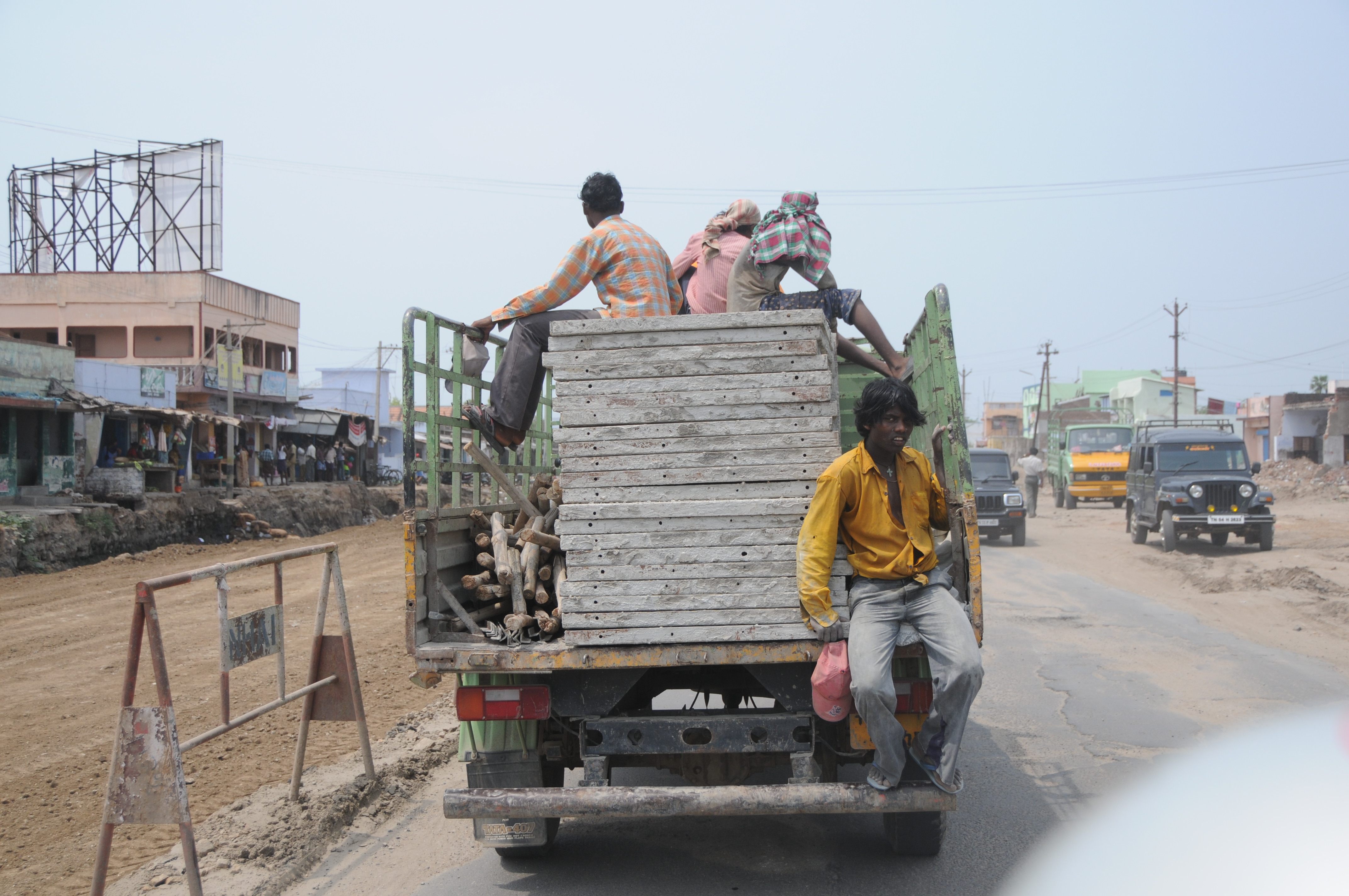
Related Photos:
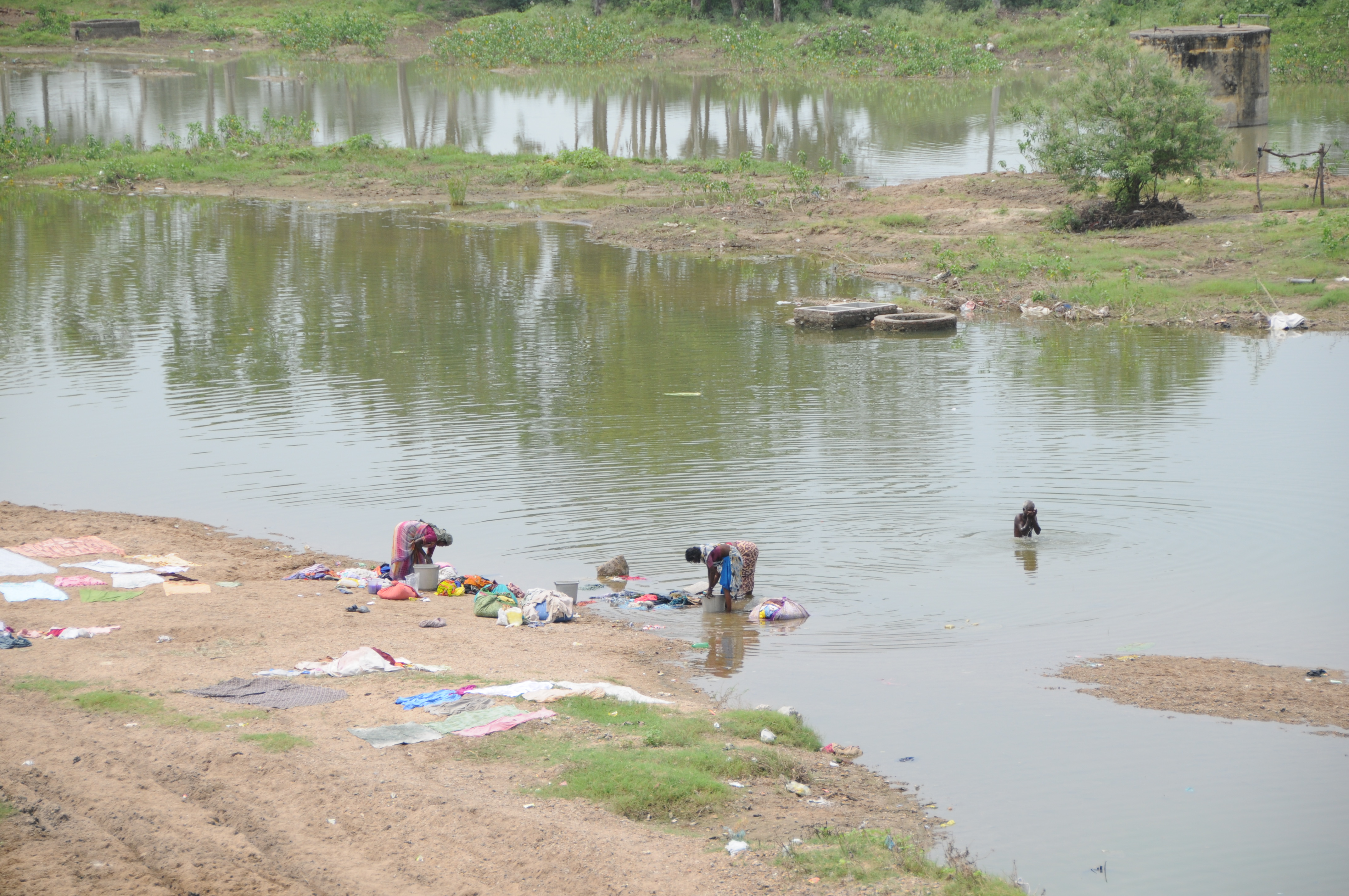
CSP_5129.JPG
CSP_5125.JPG
CSP_5123.JPG

CSP_5128.JPG
CSP_5124.JPG
CSP_5146.JPG
CSP_5149.JPG

CSP_5133.JPG
CSP_5142.JPG
CSP_5130.JPG

CSP_5140.JPG
CSP_5135.JPG
Topographic Map of Sattur, Tamil Nadu, India
Find elevation by address:

Places near Sattur, Tamil Nadu, India:
Virudhunagar
Sivakasi
Vembakottai
Kovilpatti
Virudhunagar
Virudhunagar Government Hospital Icu Unit
Pudur
Aruppukkottai
Ramanathapuram
Vettuvan Kovil
Kuruvikulam
Srivilliputhur
Vilathikulam
T.kallupatti
Kariapatti
Paralachi
Watrap
Rajapalayam
Sankarankovil
Kayathar
Recent Searches:
- Elevation of Corso Fratelli Cairoli, 35, Macerata MC, Italy
- Elevation of Tallevast Rd, Sarasota, FL, USA
- Elevation of 4th St E, Sonoma, CA, USA
- Elevation of Black Hollow Rd, Pennsdale, PA, USA
- Elevation of Oakland Ave, Williamsport, PA, USA
- Elevation of Pedrógão Grande, Portugal
- Elevation of Klee Dr, Martinsburg, WV, USA
- Elevation of Via Roma, Pieranica CR, Italy
- Elevation of Tavkvetili Mountain, Georgia
- Elevation of Hartfords Bluff Cir, Mt Pleasant, SC, USA