Elevation of Ramanathapuram, Tamil Nadu, India
Location: India > Tamil Nadu > Tirunelveli >
Longitude: 77.7206933
Latitude: 9.183208
Elevation: 128m / 420feet
Barometric Pressure: 100KPa
Elevation Map:
Satellite Map:
Related Photos:

CSP_5175.JPG

CSP_5178.JPG

CSP_5151.JPG

CSP_5166.JPG

CSP_5188.JPG

CSP_5180.JPG

CSP_5179.JPG

CSP_5158.JPG

CSP_5164.JPG

CSP_5155.JPG

CSP_5201.JPG

CSP_5165.JPG
CSP_5171.JPG

CSP_5173.JPG

CSP_5186.JPG

CSP_5168.JPG

CSP_5191.JPG

CSP_5195.JPG

CSP_5200.JPG

CSP_5190.JPG

CSP_5194.JPG

his exp
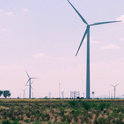
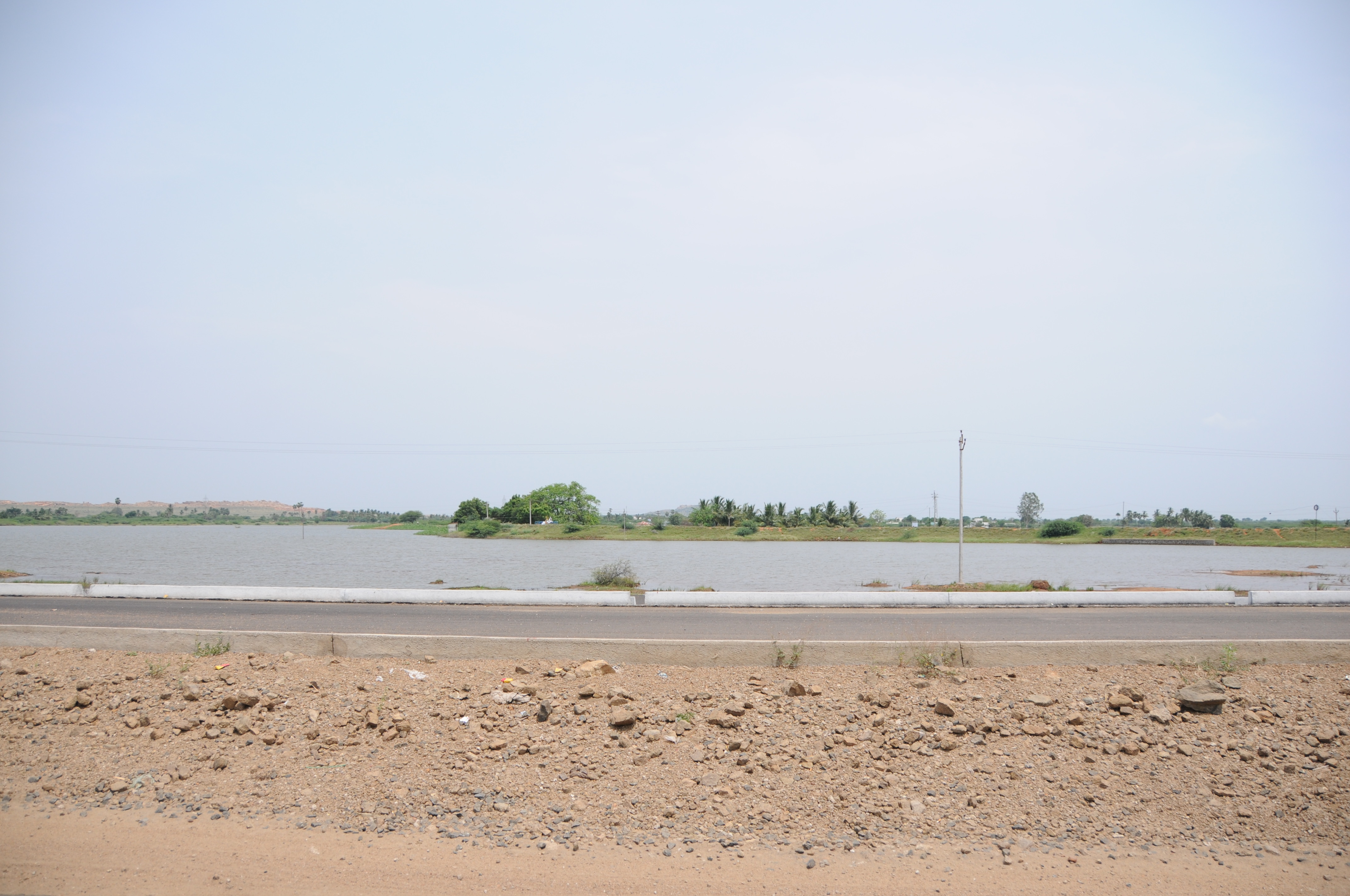
When the landscape around you is too good! ???????????? #travel #explore #VSCOcam
Topographic Map of Ramanathapuram, Tamil Nadu, India
Find elevation by address:

Places near Ramanathapuram, Tamil Nadu, India:
Vettuvan Kovil
Kuruvikulam
Kovilpatti
Vembakottai
Sankarankovil
Kayathar
Sattur
Virudhunagar
Sivakasi
Kalakudi
Srivilliputhur
Rajapalayam
Kottamalai R.f.
Kadayanallur
Thoothukudi
Ottapidaram
Tirunelveli Kattabo
Melapattam
Pudur
Vilathikulam
Recent Searches:
- Elevation of Corso Fratelli Cairoli, 35, Macerata MC, Italy
- Elevation of Tallevast Rd, Sarasota, FL, USA
- Elevation of 4th St E, Sonoma, CA, USA
- Elevation of Black Hollow Rd, Pennsdale, PA, USA
- Elevation of Oakland Ave, Williamsport, PA, USA
- Elevation of Pedrógão Grande, Portugal
- Elevation of Klee Dr, Martinsburg, WV, USA
- Elevation of Via Roma, Pieranica CR, Italy
- Elevation of Tavkvetili Mountain, Georgia
- Elevation of Hartfords Bluff Cir, Mt Pleasant, SC, USA