Elevation of Kayathar, Tamil Nadu, India
Location: India > Tamil Nadu > Thoothukudi >
Longitude: 77.7738163
Latitude: 8.9469905
Elevation: 63m / 207feet
Barometric Pressure: 101KPa
Elevation Map:
Satellite Map:
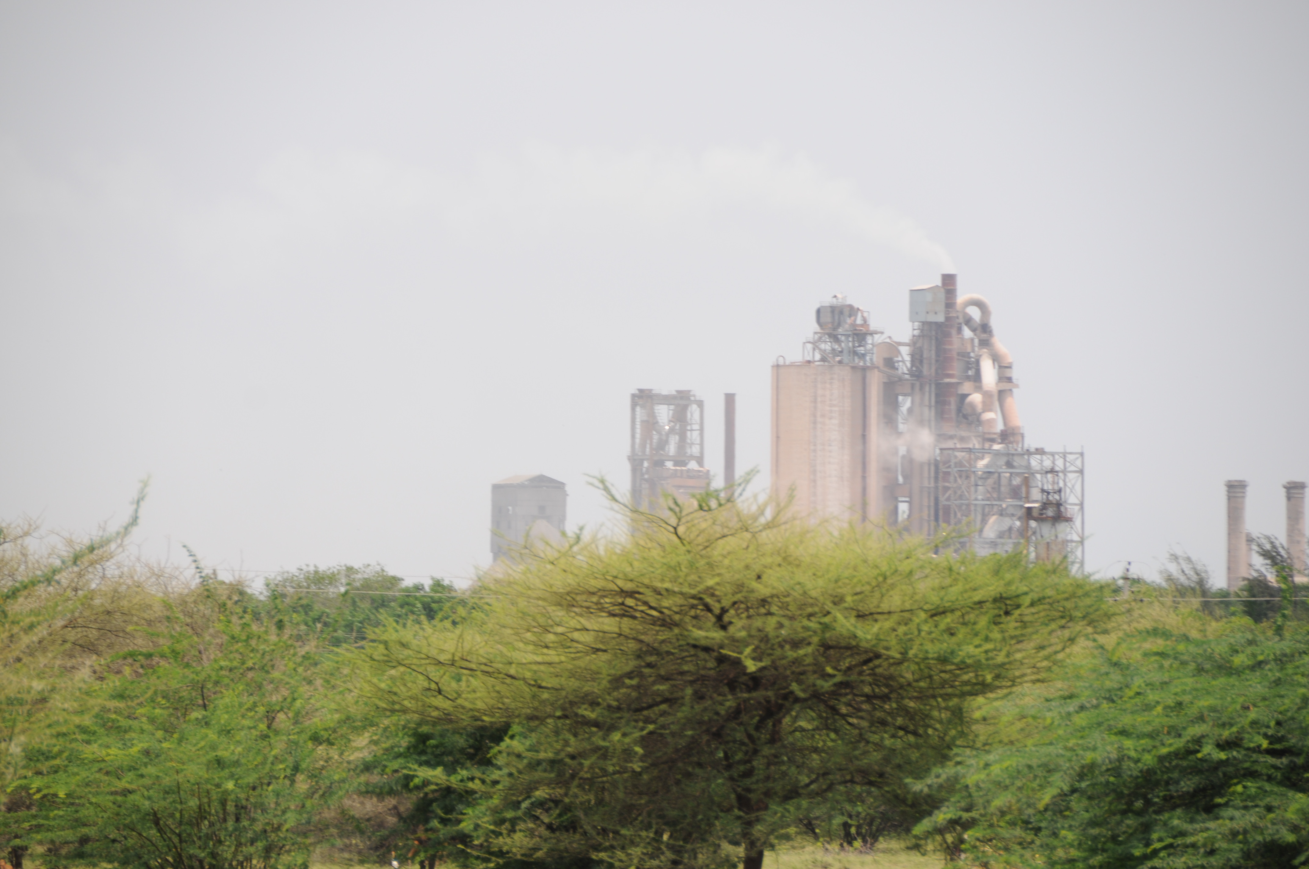
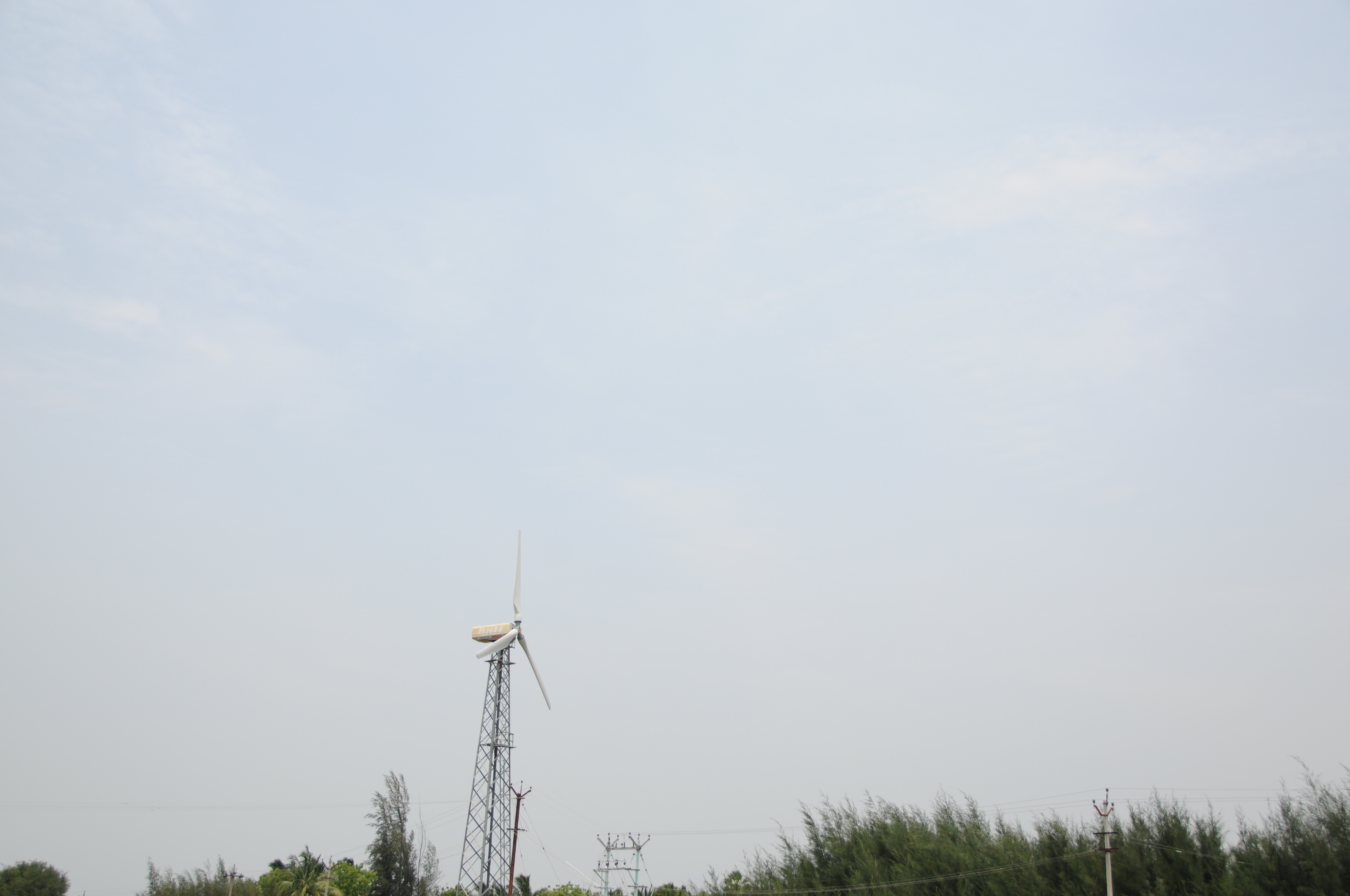
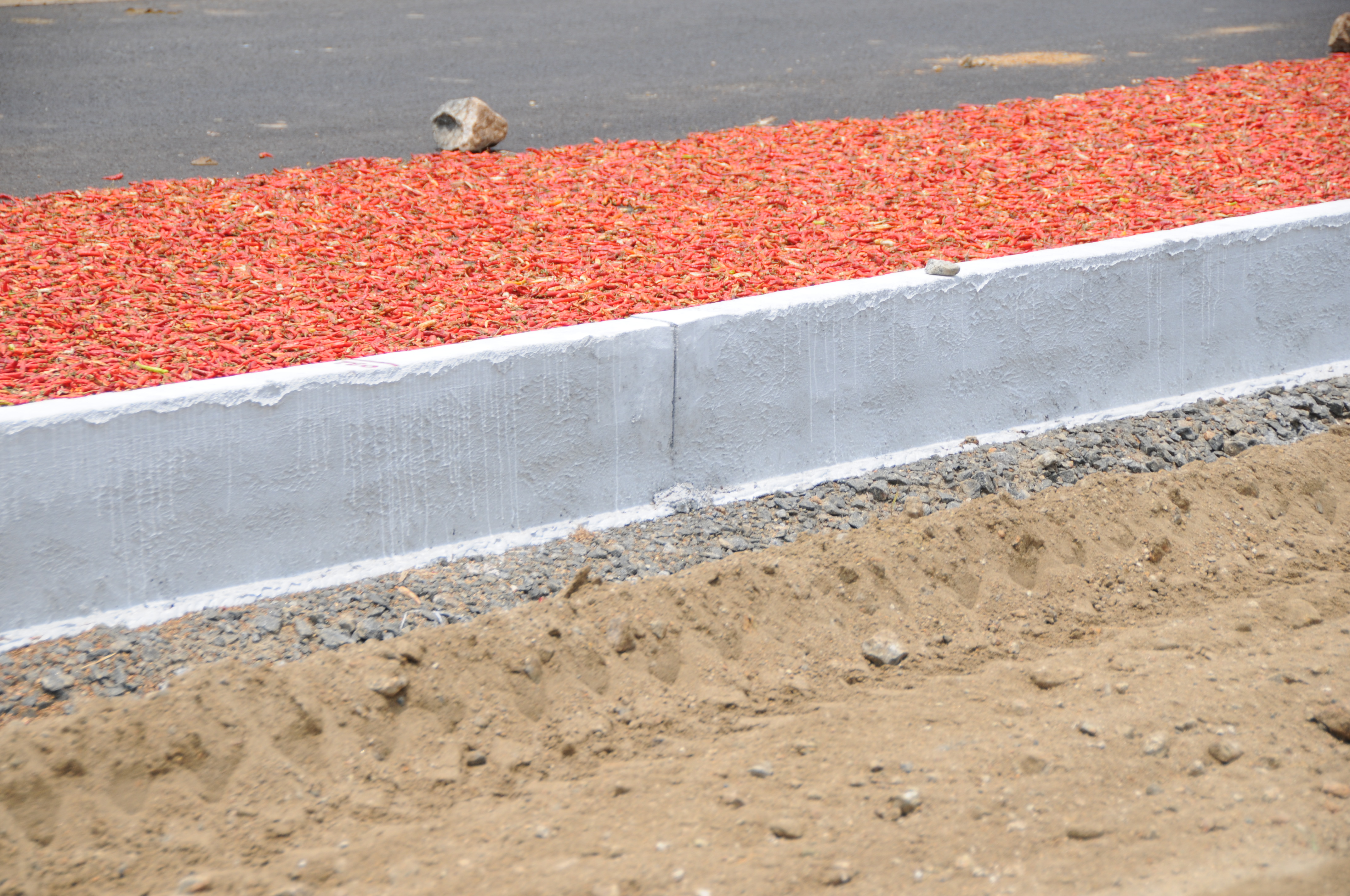
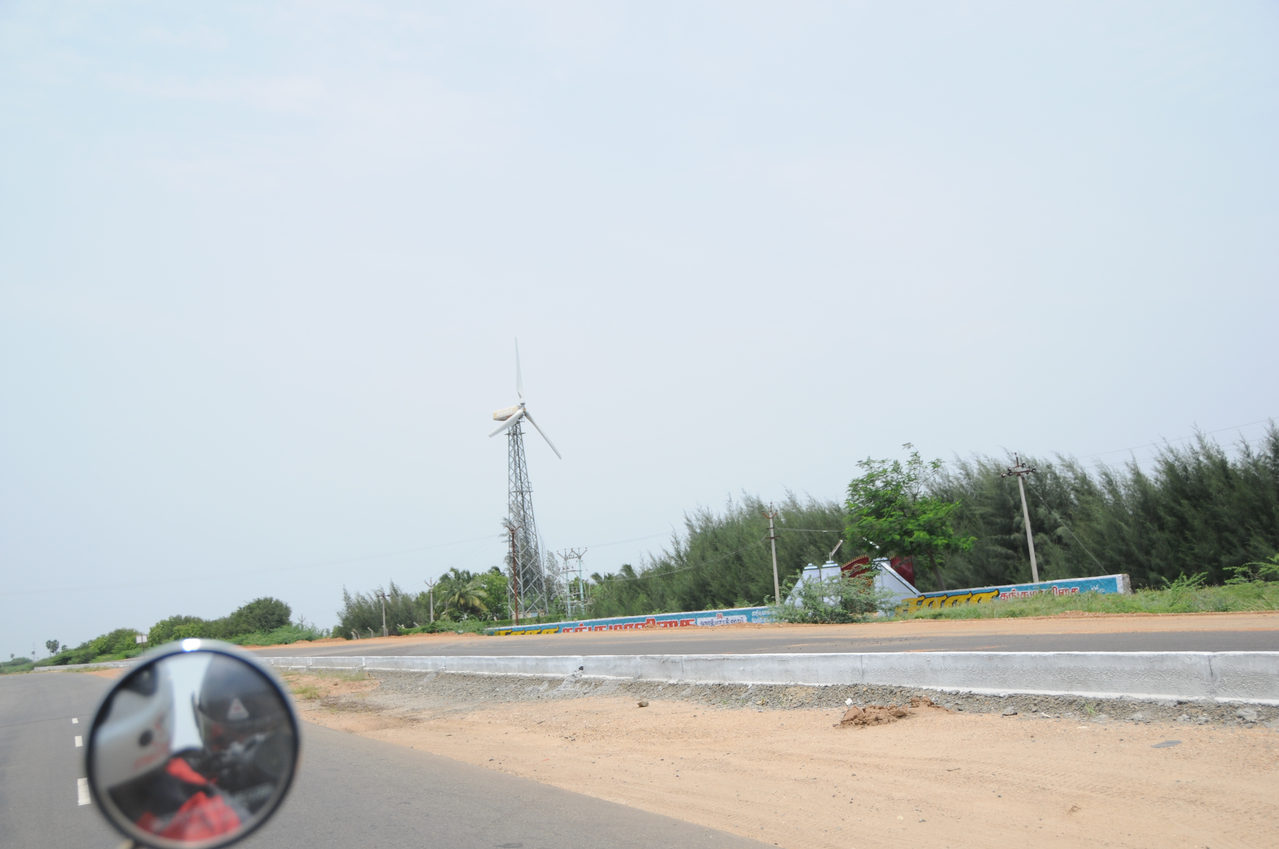
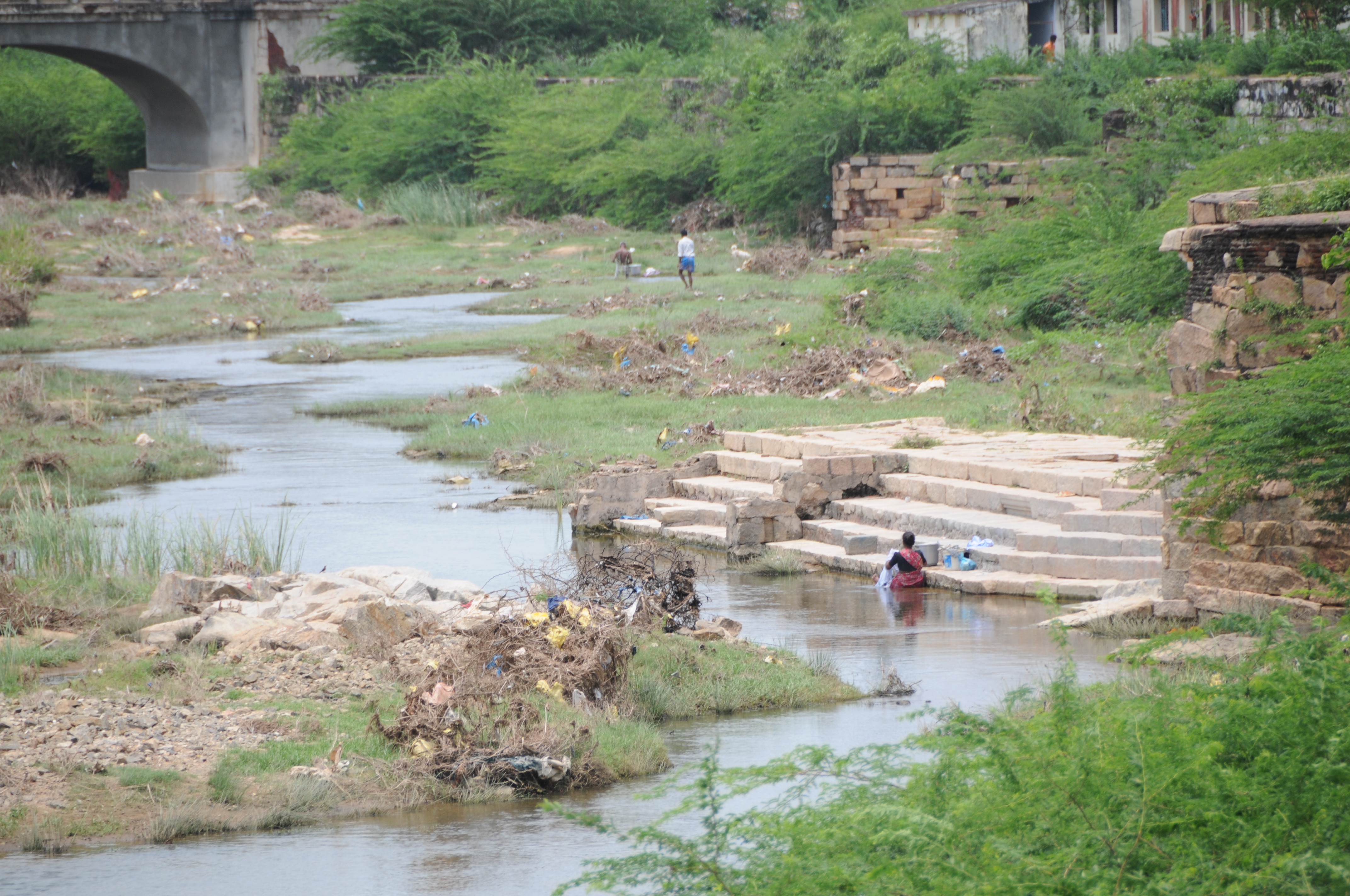
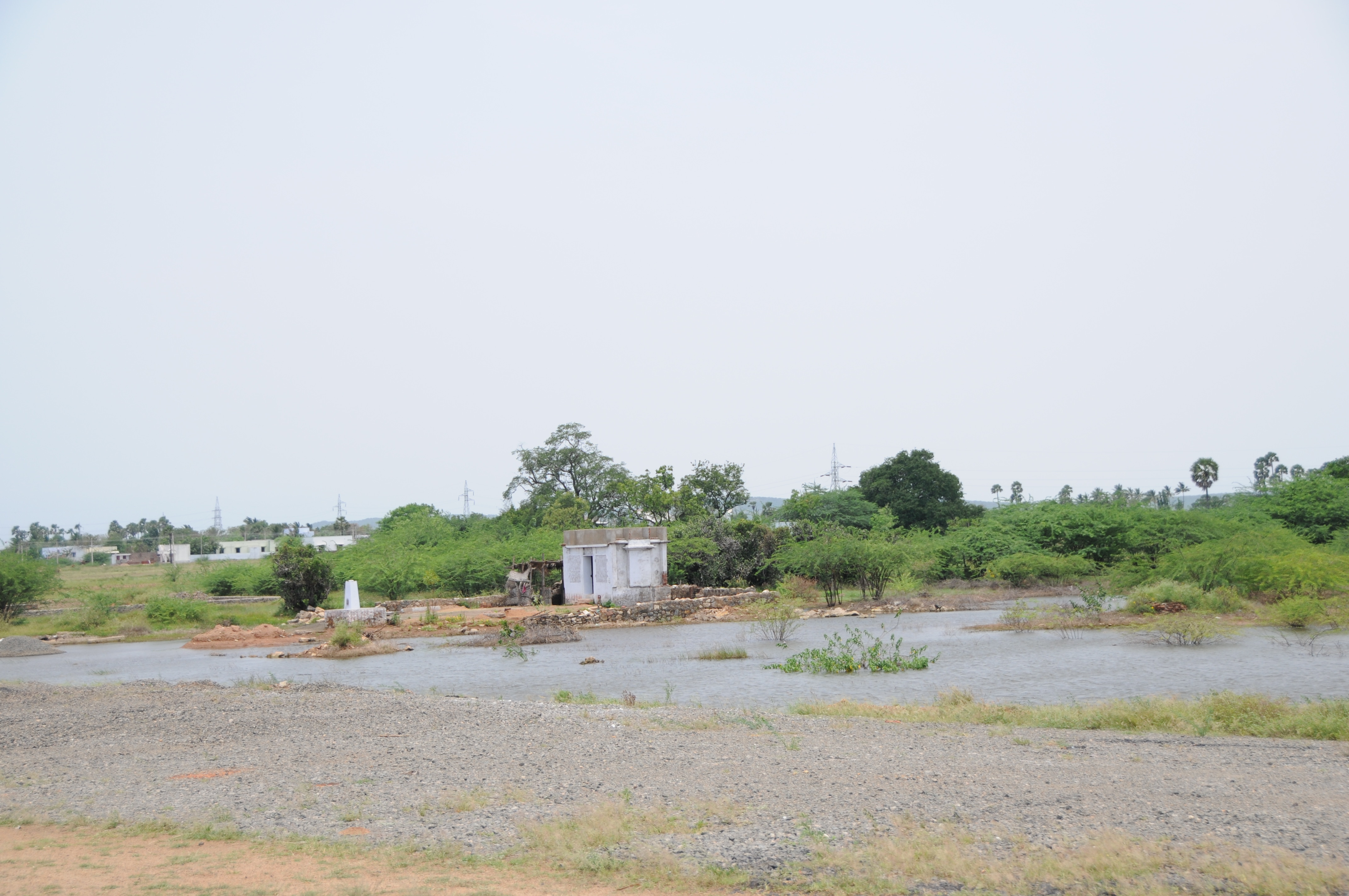
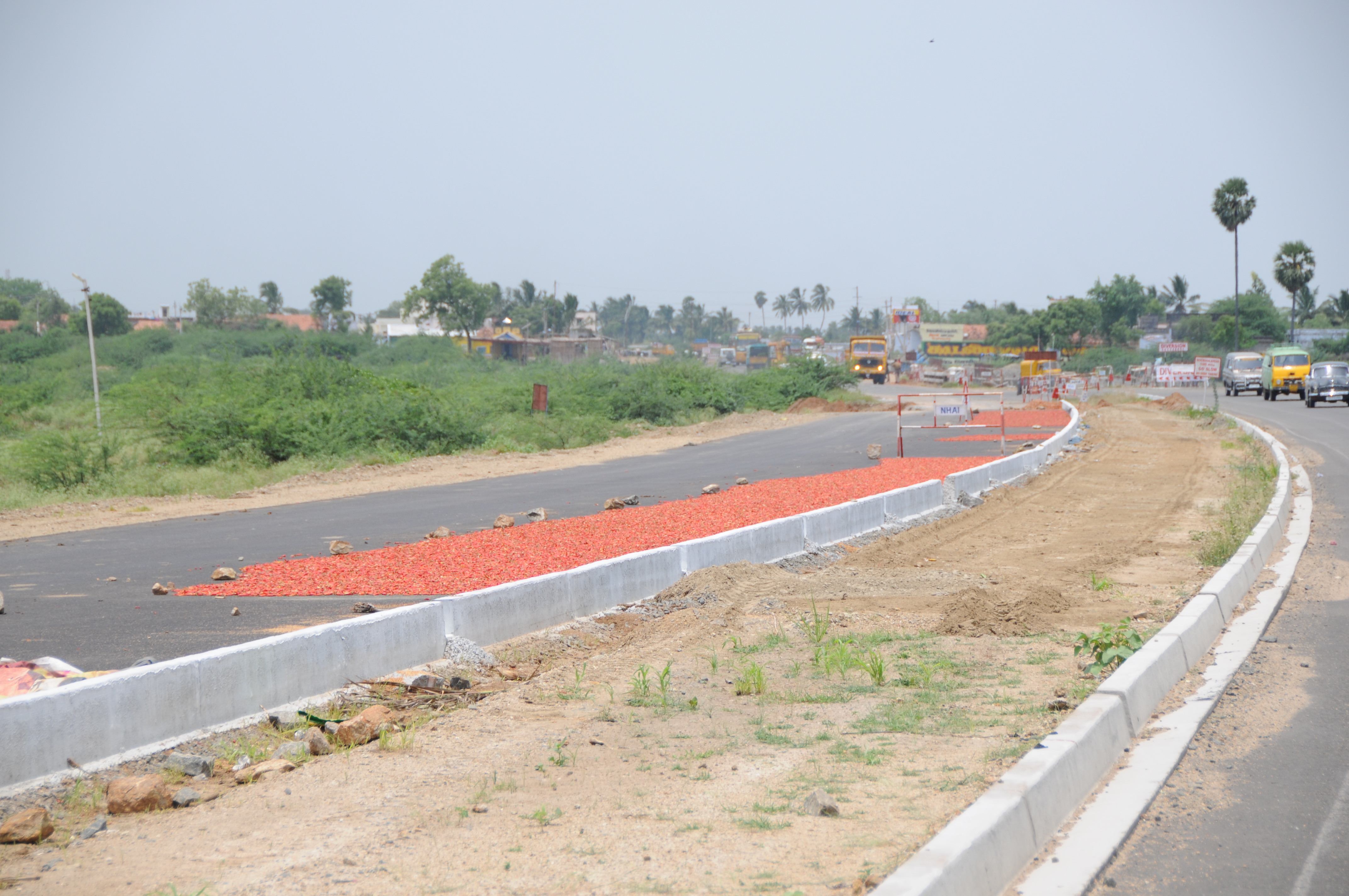
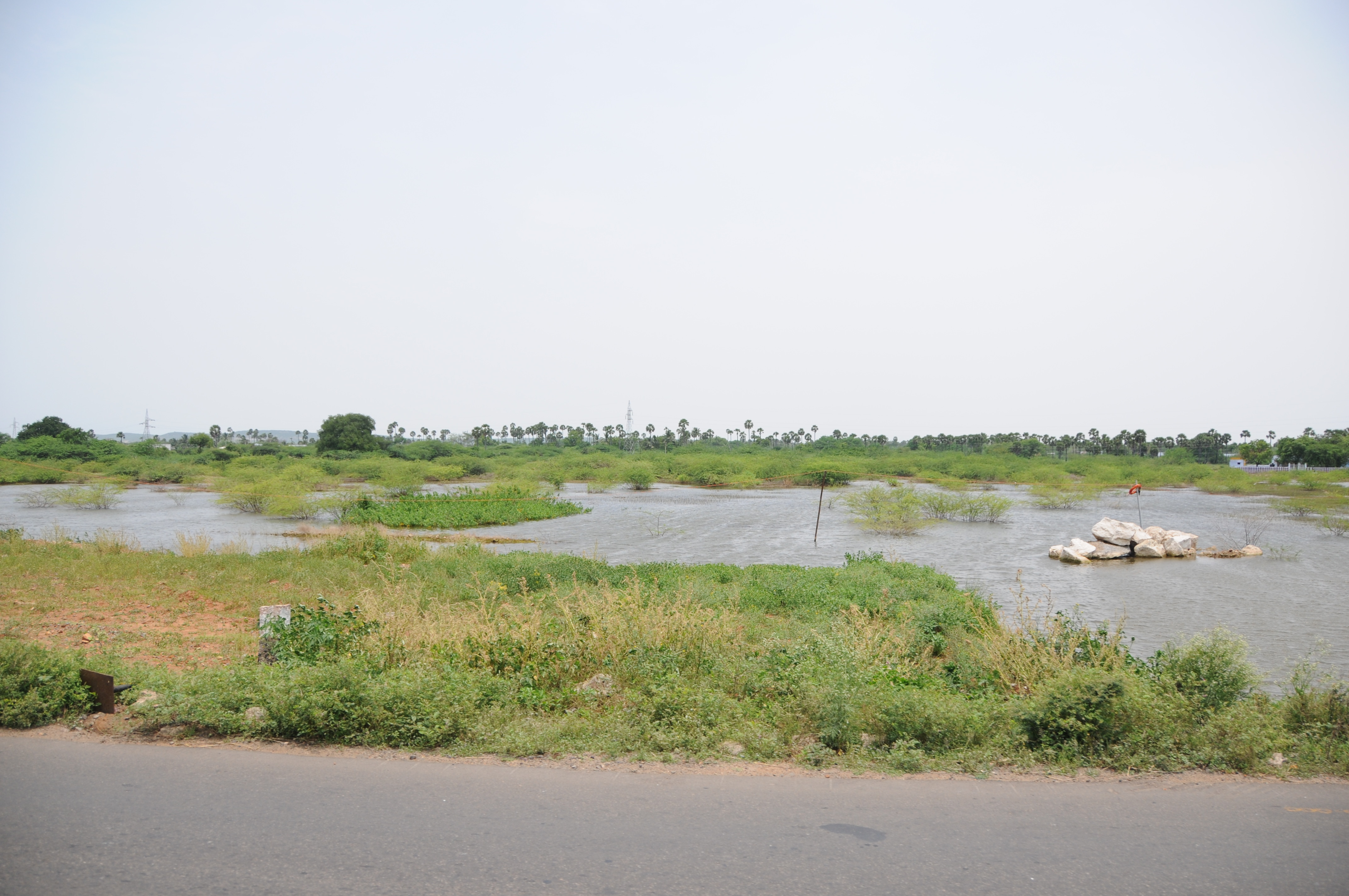
Related Photos:

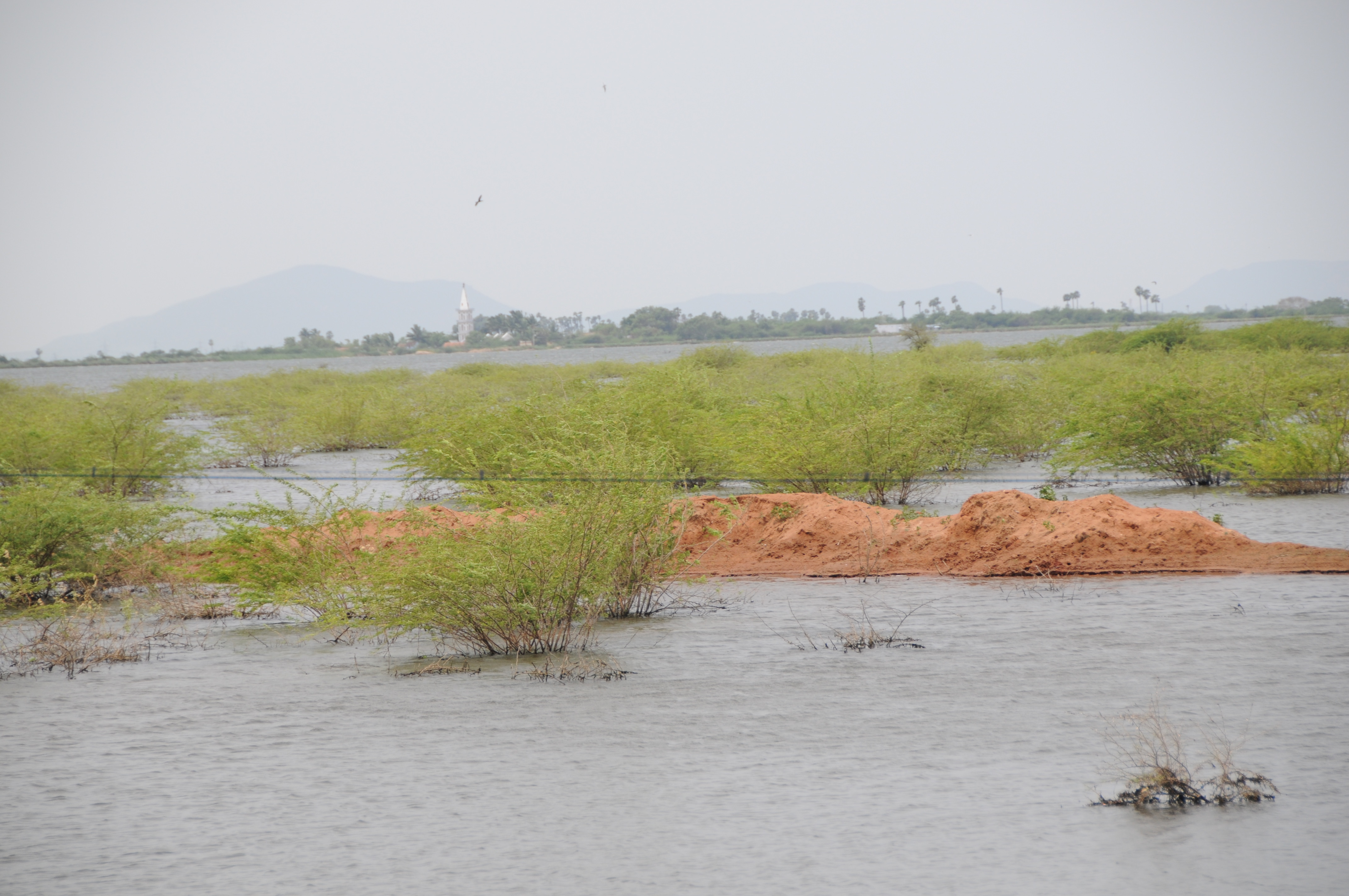
CSP_5229.JPG
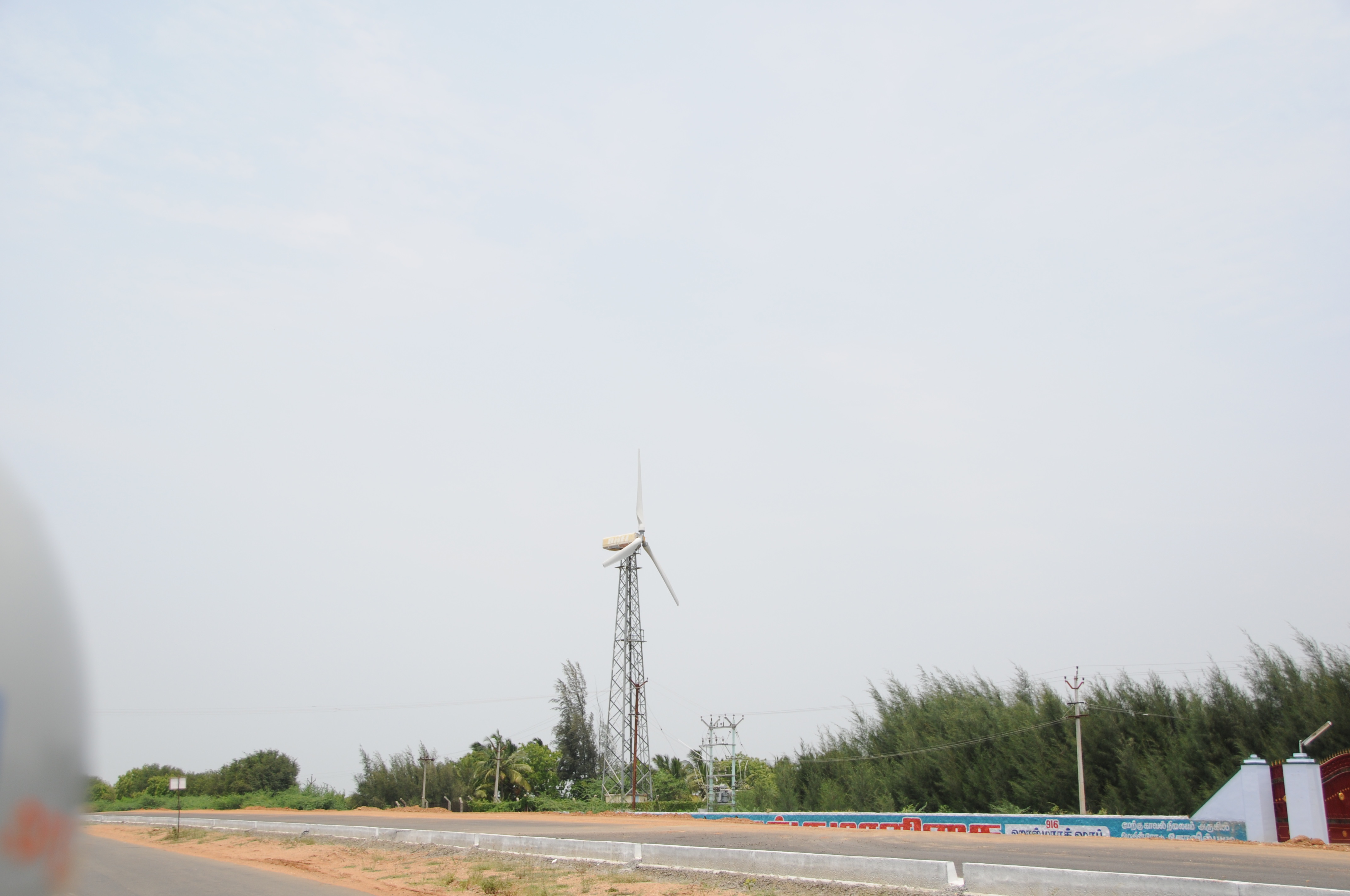
CSP_5230.JPG
CSP_5209.JPG
CSP_5205.JPG
CSP_5207.JPG

CSP_5211.JPG
CSP_5220.JPG

CSP_5210.JPG

CSP_5218.JPG
CSP_5224.JPG
CSP_5204.JPG
CSP_5222.JPG
CSP_5227.JPG
CSP_5208.JPG
Topographic Map of Kayathar, Tamil Nadu, India
Find elevation by address:

Places near Kayathar, Tamil Nadu, India:
Kalakudi
Melapattam
Vettuvan Kovil
Tesk Mahal
Kottamalai R.f.
Tirunelveli
Ramanathapuram
Kovilpatti
Thoothukudi
Ottapidaram
Kuruvikulam
Tirunelveli Kattabo
Reddiarpatti Hill
Sankarankovil
Tirunelveli
Vembakottai
Thoothukudi
Vilathikulam
Sattur
Kadayanallur
Recent Searches:
- Elevation of Corso Fratelli Cairoli, 35, Macerata MC, Italy
- Elevation of Tallevast Rd, Sarasota, FL, USA
- Elevation of 4th St E, Sonoma, CA, USA
- Elevation of Black Hollow Rd, Pennsdale, PA, USA
- Elevation of Oakland Ave, Williamsport, PA, USA
- Elevation of Pedrógão Grande, Portugal
- Elevation of Klee Dr, Martinsburg, WV, USA
- Elevation of Via Roma, Pieranica CR, Italy
- Elevation of Tavkvetili Mountain, Georgia
- Elevation of Hartfords Bluff Cir, Mt Pleasant, SC, USA