Elevation of Virudhunagar, Tamil Nadu, India
Location: India > Tamil Nadu > Virudhunagar >
Longitude: 77.9624435
Latitude: 9.5680116
Elevation: 96m / 315feet
Barometric Pressure: 100KPa
Elevation Map:
Satellite Map:
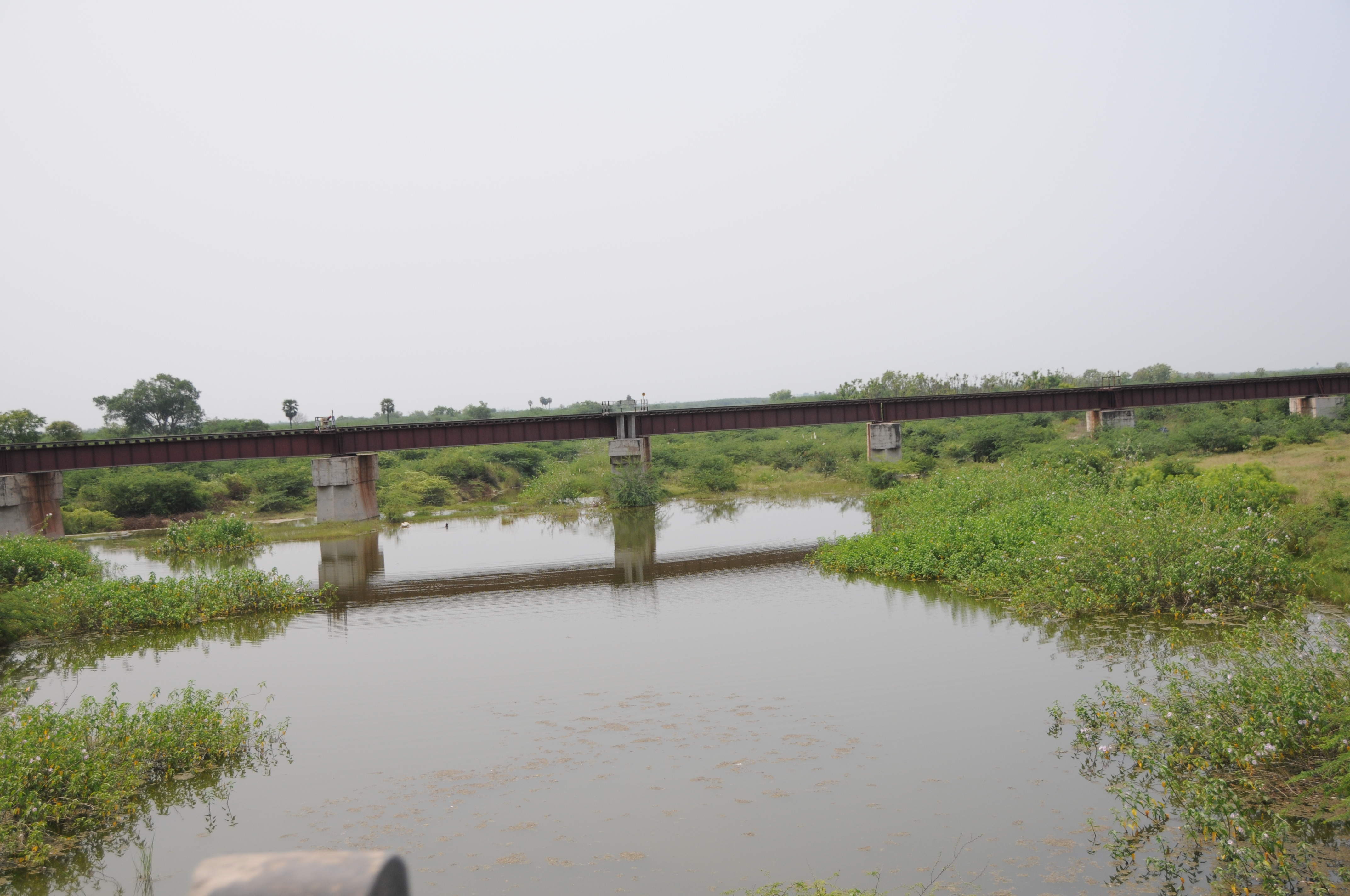
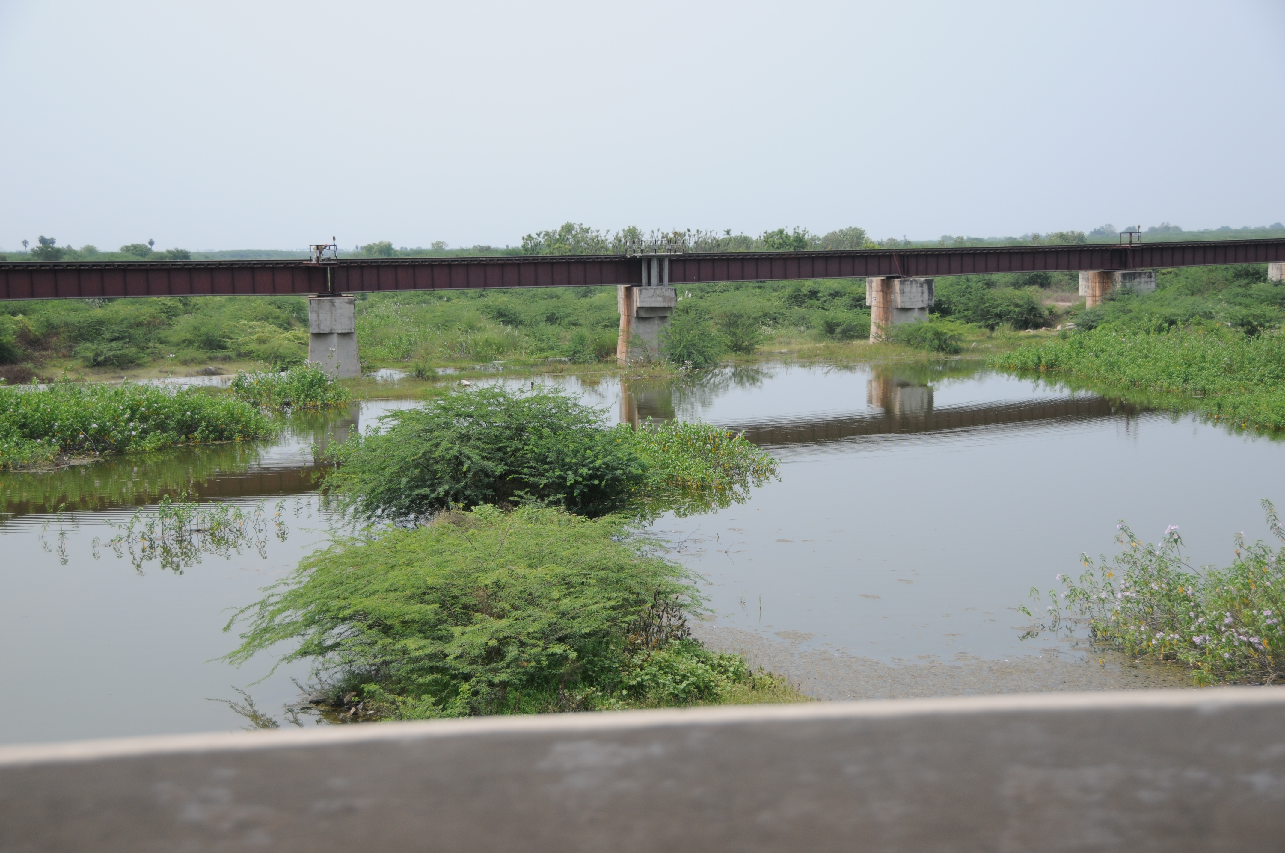
Related Photos:

Closeup View

CSP_5118.JPG

CSP_5119.JPG
CSP_5125.JPG

CSP_5120.JPG
CSP_5123.JPG

CSP_5116.JPG

CSP_5117.JPG
CSP_5124.JPG
Topographic Map of Virudhunagar, Tamil Nadu, India
Find elevation by address:

Places near Virudhunagar, Tamil Nadu, India:
Virudhunagar Government Hospital Icu Unit
Aruppukkottai
Kariapatti
T.kallupatti
Virudhunagar
Sivakasi
Sattur
Tirumangalam
Mangulam
Vembakottai
Sedapatti
Pudur
Watrap
Srivilliputhur
Sathuragiri Shri Sundara Mahalingam Temple
Sathuragiri Hills
Paralachi
Kovilpatti
Saptur R.f.
Rajapalayam
Recent Searches:
- Elevation of Corso Fratelli Cairoli, 35, Macerata MC, Italy
- Elevation of Tallevast Rd, Sarasota, FL, USA
- Elevation of 4th St E, Sonoma, CA, USA
- Elevation of Black Hollow Rd, Pennsdale, PA, USA
- Elevation of Oakland Ave, Williamsport, PA, USA
- Elevation of Pedrógão Grande, Portugal
- Elevation of Klee Dr, Martinsburg, WV, USA
- Elevation of Via Roma, Pieranica CR, Italy
- Elevation of Tavkvetili Mountain, Georgia
- Elevation of Hartfords Bluff Cir, Mt Pleasant, SC, USA