Elevation of Sathuragiri Hills, Saptur R.F., Tamil Nadu
Location: India > Tamil Nadu > Madurai > Saptur R.f. >
Longitude: 77.6186383
Latitude: 9.7272883
Elevation: 916m / 3005feet
Barometric Pressure: 91KPa
Elevation Map:
Satellite Map:
Related Photos:

sunrays

serene

divine
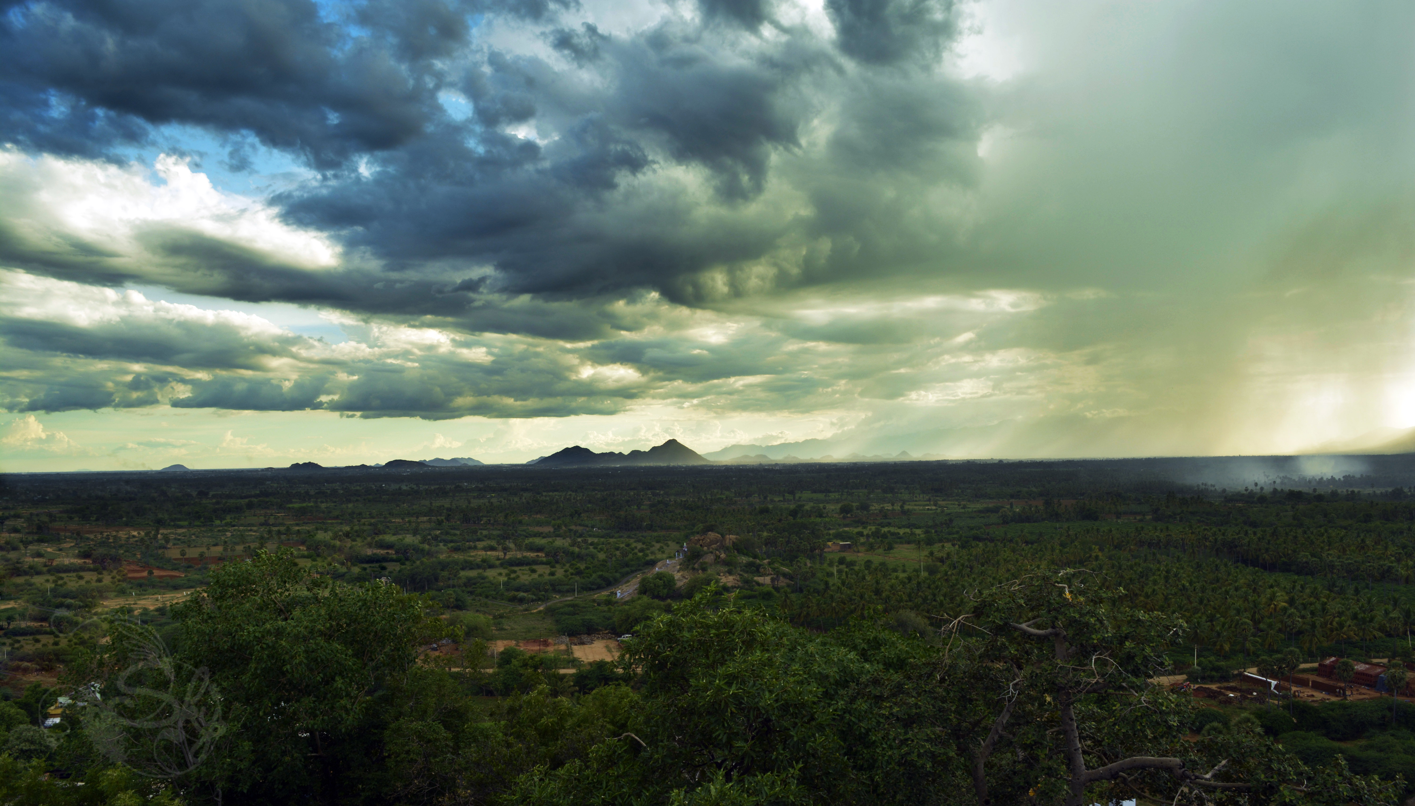
Landscape

_DSC5789[1]
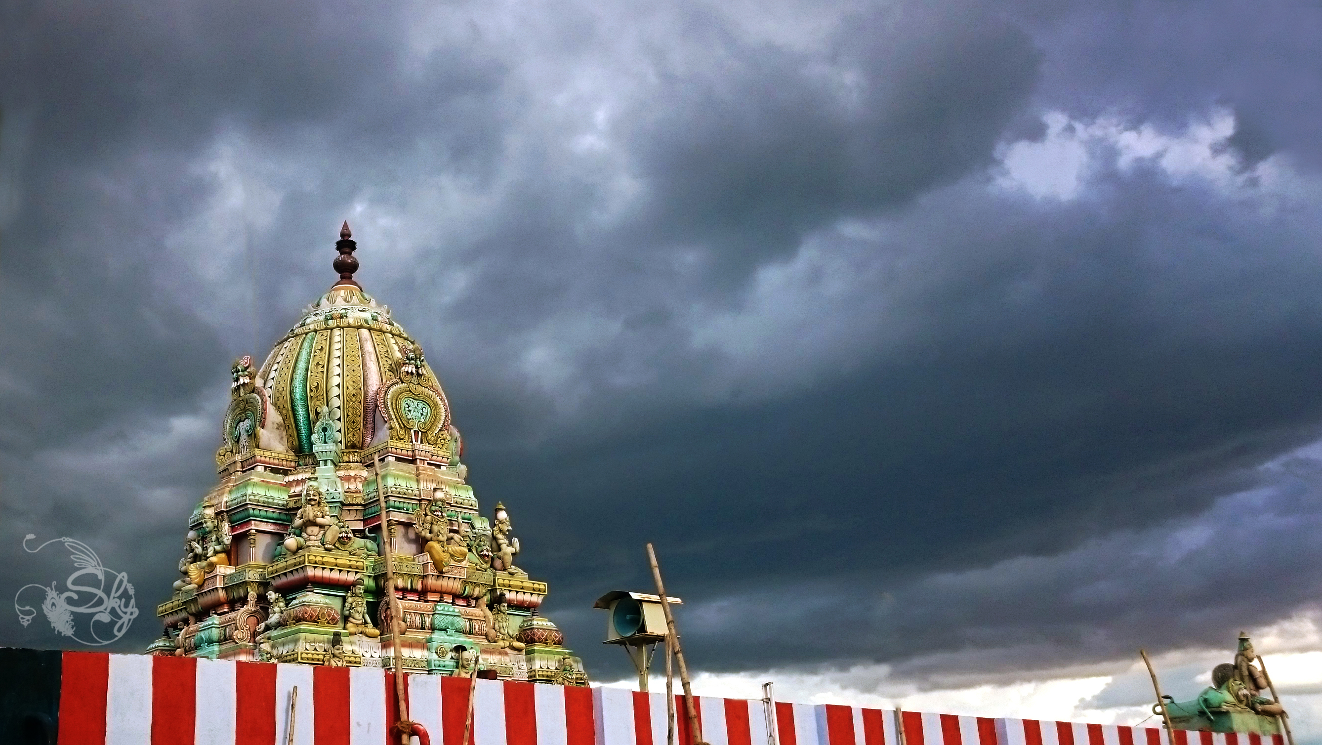
Thirumalai Srinivasa Perumal Koil
Topographic Map of Sathuragiri Hills, Saptur R.F., Tamil Nadu
Find elevation by address:

Places near Sathuragiri Hills, Saptur R.F., Tamil Nadu:
Sathuragiri Shri Sundara Mahalingam Temple
Saptur R.f.
Watrap
Sedapatti
Meghamalai View Point
Srivilliputhur
Megamalai
T.kallupatti
Chinnamanur
Highwavys Dam
Highways
Highways Hospital
Rajapalayam
Sivakasi
Virudhunagar Government Hospital Icu Unit
Virudhunagar
Virudhunagar
Tirumangalam
Vembakottai
Sattur
Recent Searches:
- Elevation of Corso Fratelli Cairoli, 35, Macerata MC, Italy
- Elevation of Tallevast Rd, Sarasota, FL, USA
- Elevation of 4th St E, Sonoma, CA, USA
- Elevation of Black Hollow Rd, Pennsdale, PA, USA
- Elevation of Oakland Ave, Williamsport, PA, USA
- Elevation of Pedrógão Grande, Portugal
- Elevation of Klee Dr, Martinsburg, WV, USA
- Elevation of Via Roma, Pieranica CR, Italy
- Elevation of Tavkvetili Mountain, Georgia
- Elevation of Hartfords Bluff Cir, Mt Pleasant, SC, USA