Elevation of Sargents Mesa, Colorado, USA
Location: United States > Colorado > Saguache County > Saguache >
Longitude: -106.38447
Latitude: 38.2877754
Elevation: 3569m / 11709feet
Barometric Pressure: 65KPa
Elevation Map:
Satellite Map:
Related Photos:

Antora Meadows
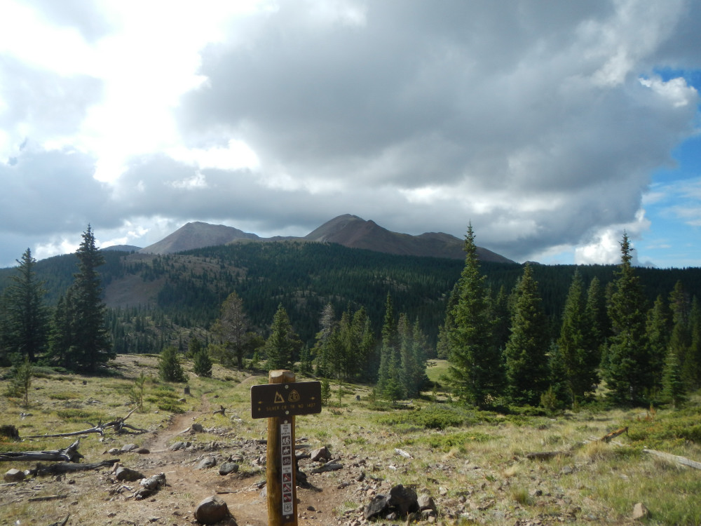
View from the trail.
Topographic Map of Sargents Mesa, Colorado, USA
Find elevation by address:

Places near Sargents Mesa, Colorado, USA:
Long Branch Baldy
Steepy Mountain
Trickle Mountain
Windy Peak
Baxter Mountain
Lime Ridge
Houghland Hill
Colorado 114
Bonita Hill
Sheep Mountain Northeast
Big Hill
Monarch Pass
10 Farrington Acres
Monarch Mountain
Bonanza
Tomichi Dome
Cochetopa Pass
Co Rd, Gunnison, CO, USA
Co Rd, Gunnison, CO, USA
Lions Head
Recent Searches:
- Elevation of Corso Fratelli Cairoli, 35, Macerata MC, Italy
- Elevation of Tallevast Rd, Sarasota, FL, USA
- Elevation of 4th St E, Sonoma, CA, USA
- Elevation of Black Hollow Rd, Pennsdale, PA, USA
- Elevation of Oakland Ave, Williamsport, PA, USA
- Elevation of Pedrógão Grande, Portugal
- Elevation of Klee Dr, Martinsburg, WV, USA
- Elevation of Via Roma, Pieranica CR, Italy
- Elevation of Tavkvetili Mountain, Georgia
- Elevation of Hartfords Bluff Cir, Mt Pleasant, SC, USA