Elevation of Windy Peak, Colorado, USA
Location: United States > Colorado > Villa Grove >
Longitude: -106.26530
Latitude: 38.3519434
Elevation: 3596m / 11798feet
Barometric Pressure: 65KPa
Elevation Map:
Satellite Map:
Related Photos:

Antora Meadows
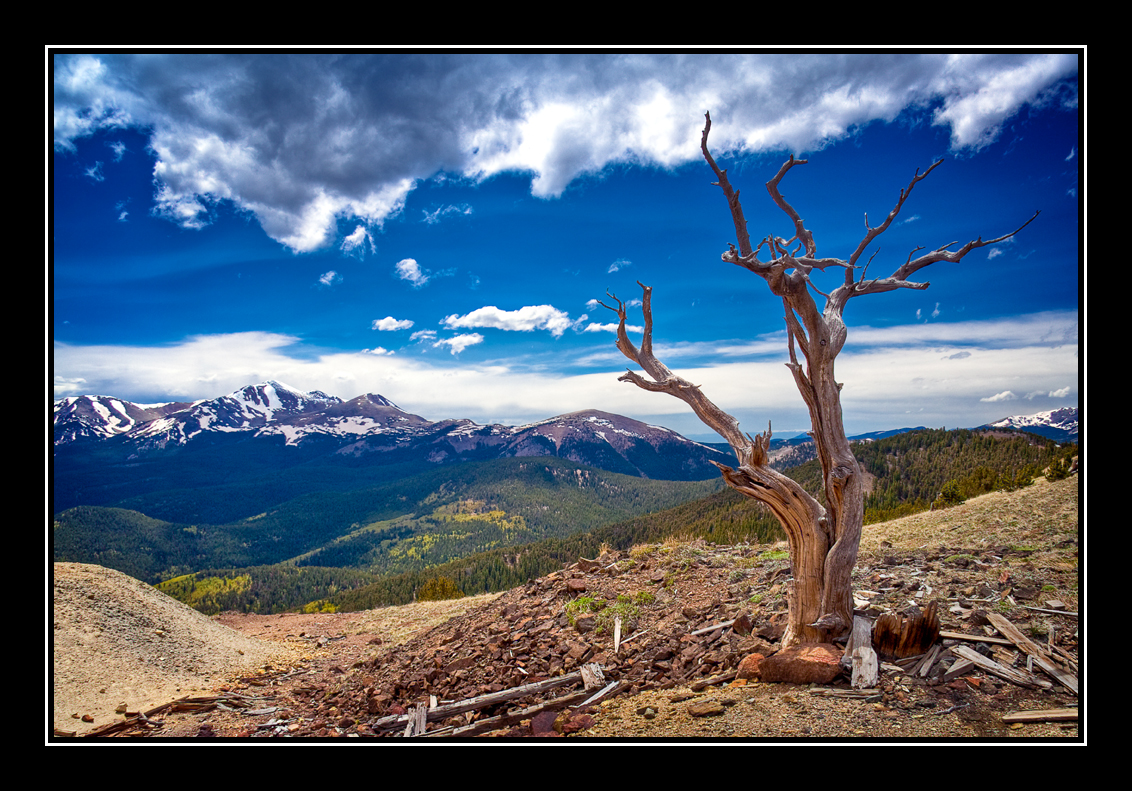
Tree With a View

Marmot Mansion
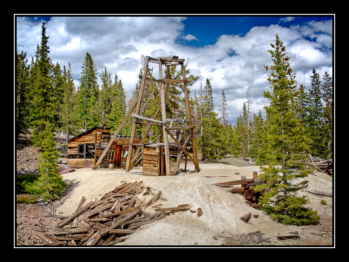
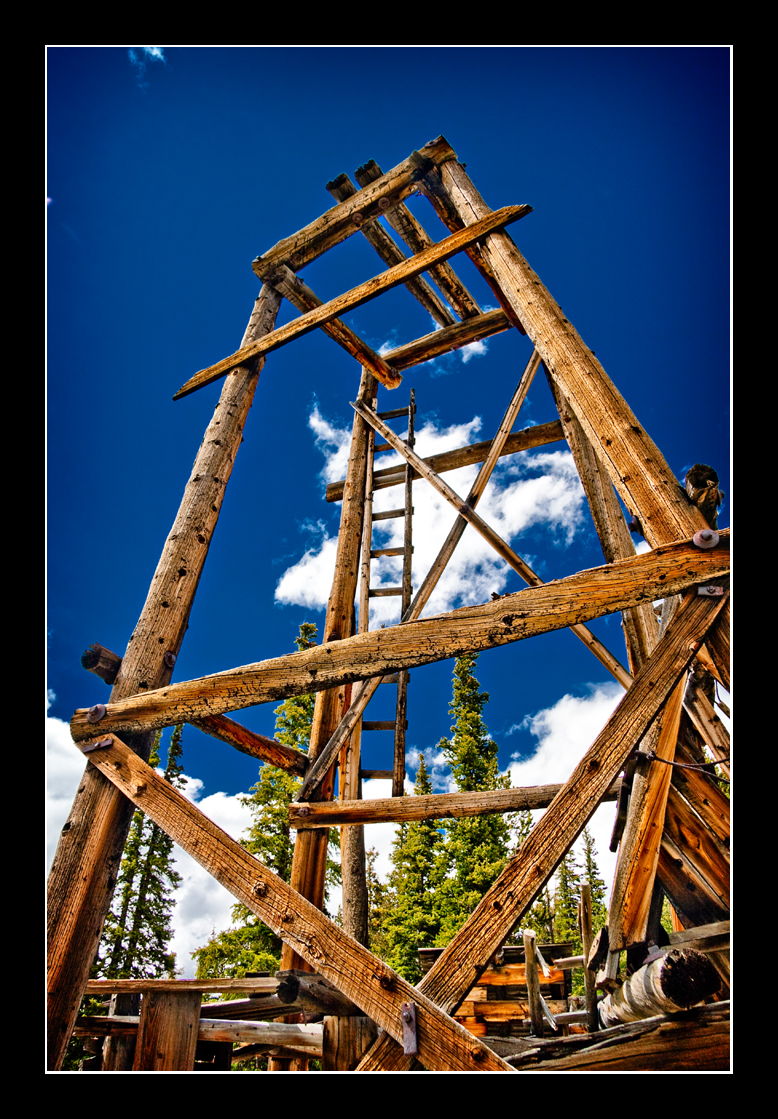
Old Mine
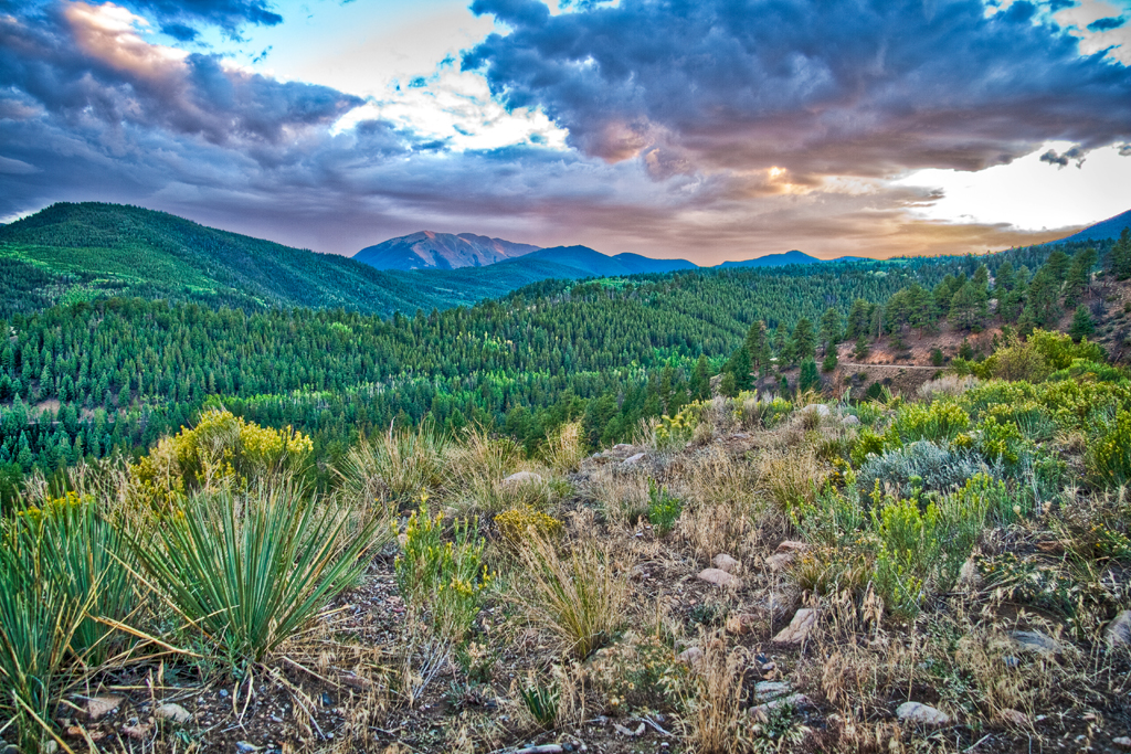
Marshall Pass Sunset

3D - Road to Silver Creek
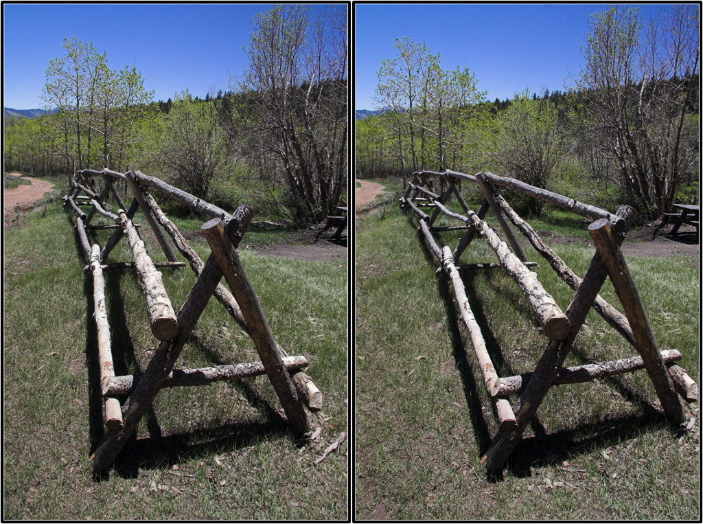
3D - Wood's Cabin Fence
There Will Be Blood
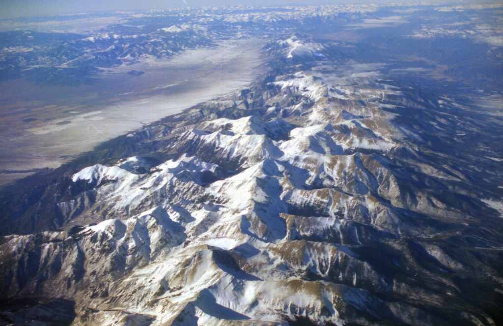
View From Airplane
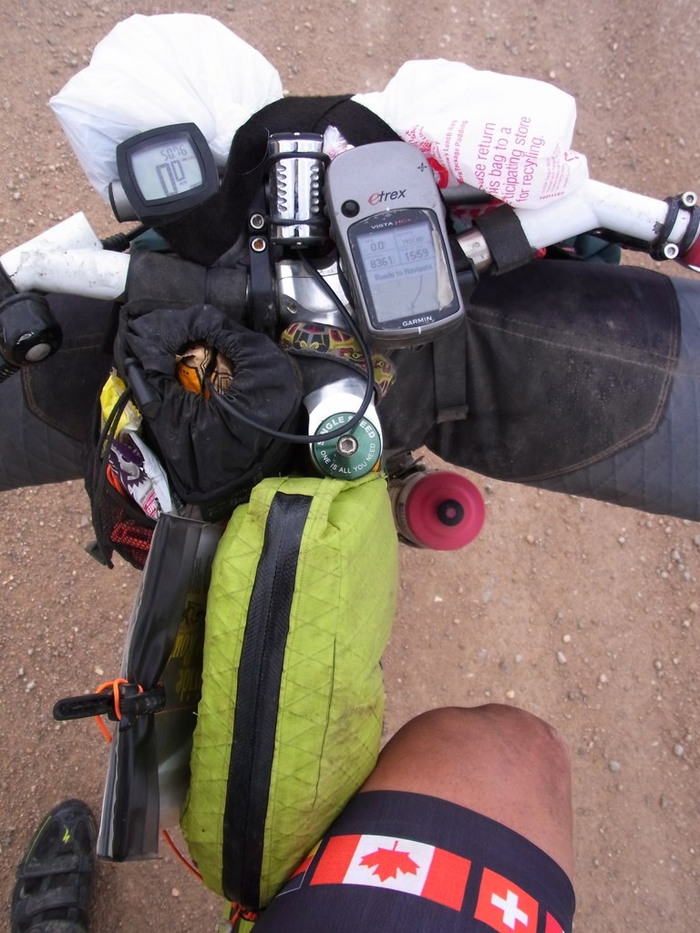
My view of the world

DSC_3816.jpg
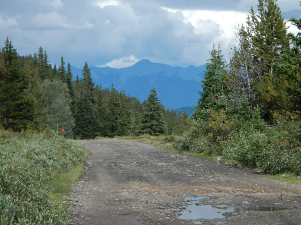
View east from Camp @ Marshall Pass, CO
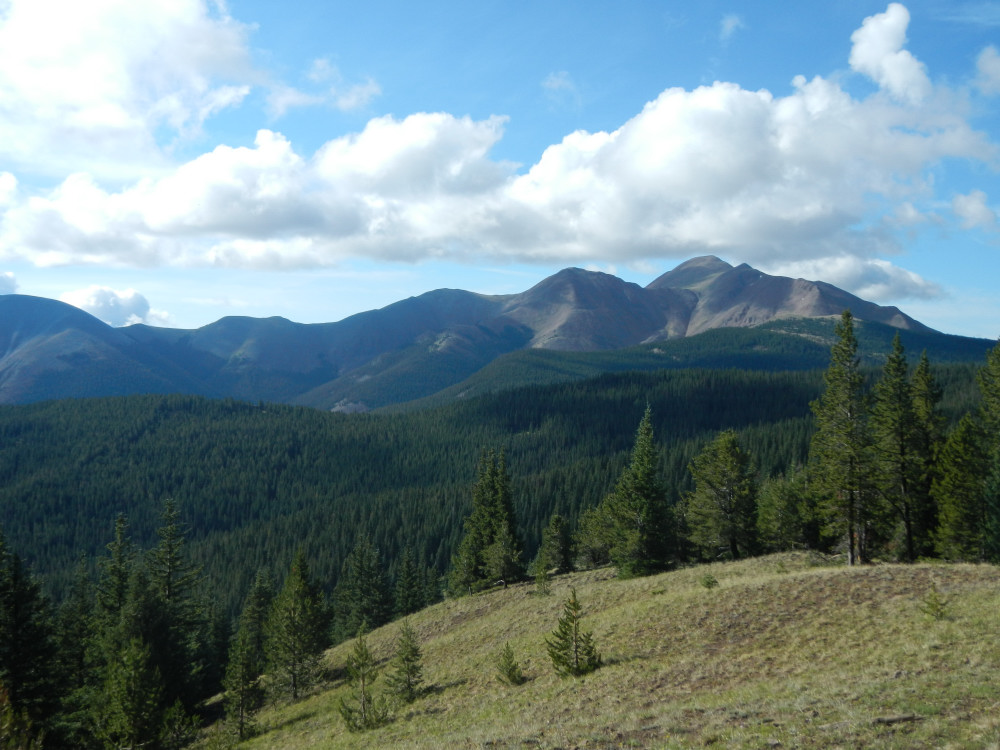
View from the trail.
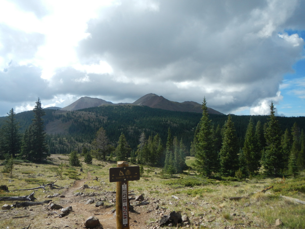
View from the trail.
Topographic Map of Windy Peak, Colorado, USA
Find elevation by address:

Places near Windy Peak, Colorado, USA:
Sheep Mountain Northeast
Baxter Mountain
Lime Ridge
10 Farrington Acres
Sargents Mesa
Bonanza
Bonita Hill
Monarch Pass
1043 Co Rd 200
1043 Co Rd 200
Monarch Mountain
Hayden Peak
Mears Ln, Salida, CO, USA
Steepy Mountain
17462 Little River Ln
5500 Co Rd 210
Maysville
Garfield
17105 Co Rd 220
22497 Co Rd 227
Recent Searches:
- Elevation of Corso Fratelli Cairoli, 35, Macerata MC, Italy
- Elevation of Tallevast Rd, Sarasota, FL, USA
- Elevation of 4th St E, Sonoma, CA, USA
- Elevation of Black Hollow Rd, Pennsdale, PA, USA
- Elevation of Oakland Ave, Williamsport, PA, USA
- Elevation of Pedrógão Grande, Portugal
- Elevation of Klee Dr, Martinsburg, WV, USA
- Elevation of Via Roma, Pieranica CR, Italy
- Elevation of Tavkvetili Mountain, Georgia
- Elevation of Hartfords Bluff Cir, Mt Pleasant, SC, USA