Elevation of Big Hill, Colorado, USA
Location: United States > Colorado > Gunnison >
Longitude: -106.57364
Latitude: 38.3661056
Elevation: 3113m / 10213feet
Barometric Pressure: 69KPa
Elevation Map:
Satellite Map:
Related Photos:
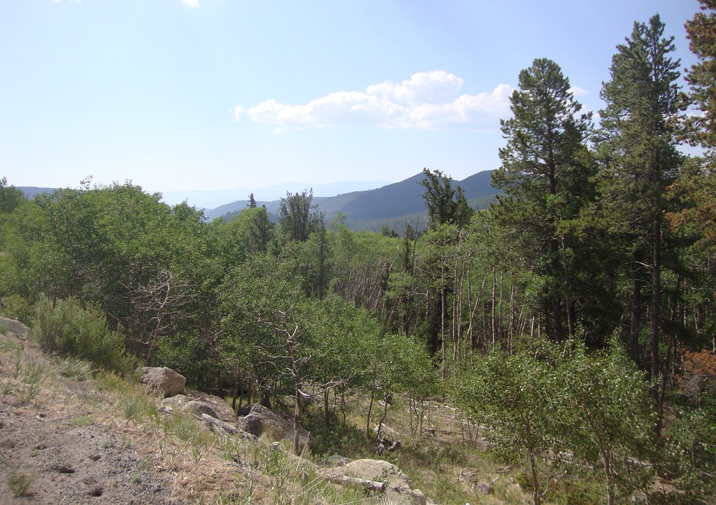
Continental Divide View (Saguache County, Colorado)
Topographic Map of Big Hill, Colorado, USA
Find elevation by address:

Places near Big Hill, Colorado, USA:
Lions Head
11 Co Rd 45, Gunnison, CO, USA
Long Branch Baldy
Tomichi Dome
Steepy Mountain
Co Rd, Gunnison, CO, USA
Colorado 114
3331 Co Rd 44
6274 Co Rd 76
Cochetopa Pass
Ohio City
116 S Broadway
Sargents Mesa
Forest Service Road 763
Parlin
Quartz Dome
Little Baldy
435 Soul's Ease Rd
Pitkin
Main St, Almont, CO, USA
Recent Searches:
- Elevation of Corso Fratelli Cairoli, 35, Macerata MC, Italy
- Elevation of Tallevast Rd, Sarasota, FL, USA
- Elevation of 4th St E, Sonoma, CA, USA
- Elevation of Black Hollow Rd, Pennsdale, PA, USA
- Elevation of Oakland Ave, Williamsport, PA, USA
- Elevation of Pedrógão Grande, Portugal
- Elevation of Klee Dr, Martinsburg, WV, USA
- Elevation of Via Roma, Pieranica CR, Italy
- Elevation of Tavkvetili Mountain, Georgia
- Elevation of Hartfords Bluff Cir, Mt Pleasant, SC, USA