Elevation of Santa Rosa, CA, USA
Location: United States > California > Sonoma County >
Longitude: -122.7140548
Latitude: 38.440429
Elevation: 50m / 164feet
Barometric Pressure: 0KPa
Related Photos:

Watch Your Step

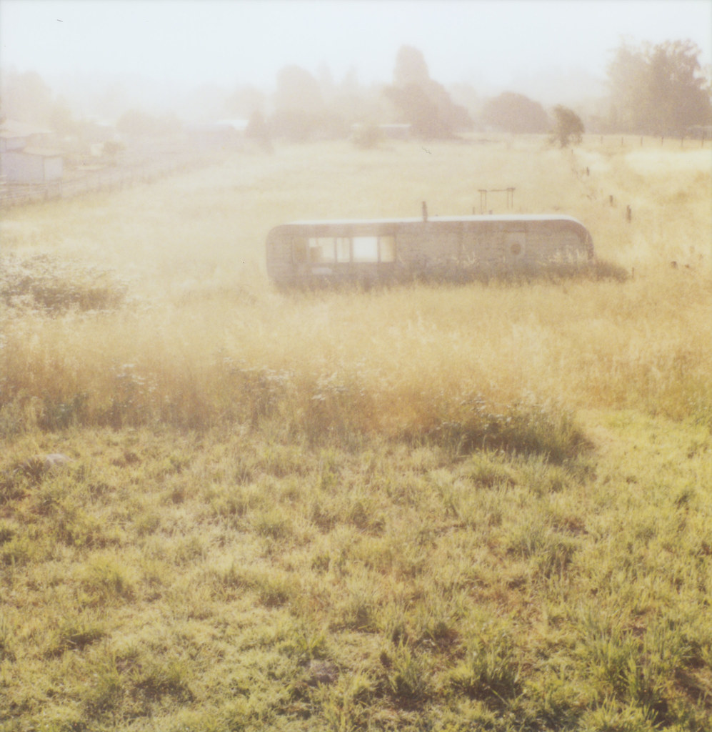
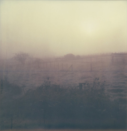
valley fog

this morning

Ready for Winter!

Ledson Winery - Porsche
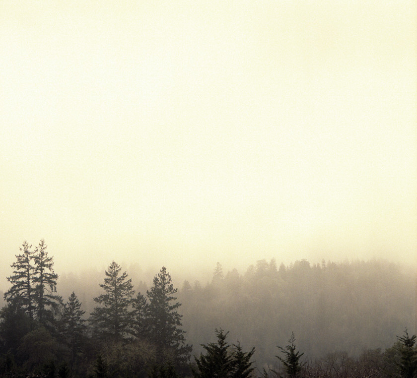
another misty morning
first sunrise

brooklyn in the country

view from gravity hill
afternoon gate
the view
meadow morning
across the ridge

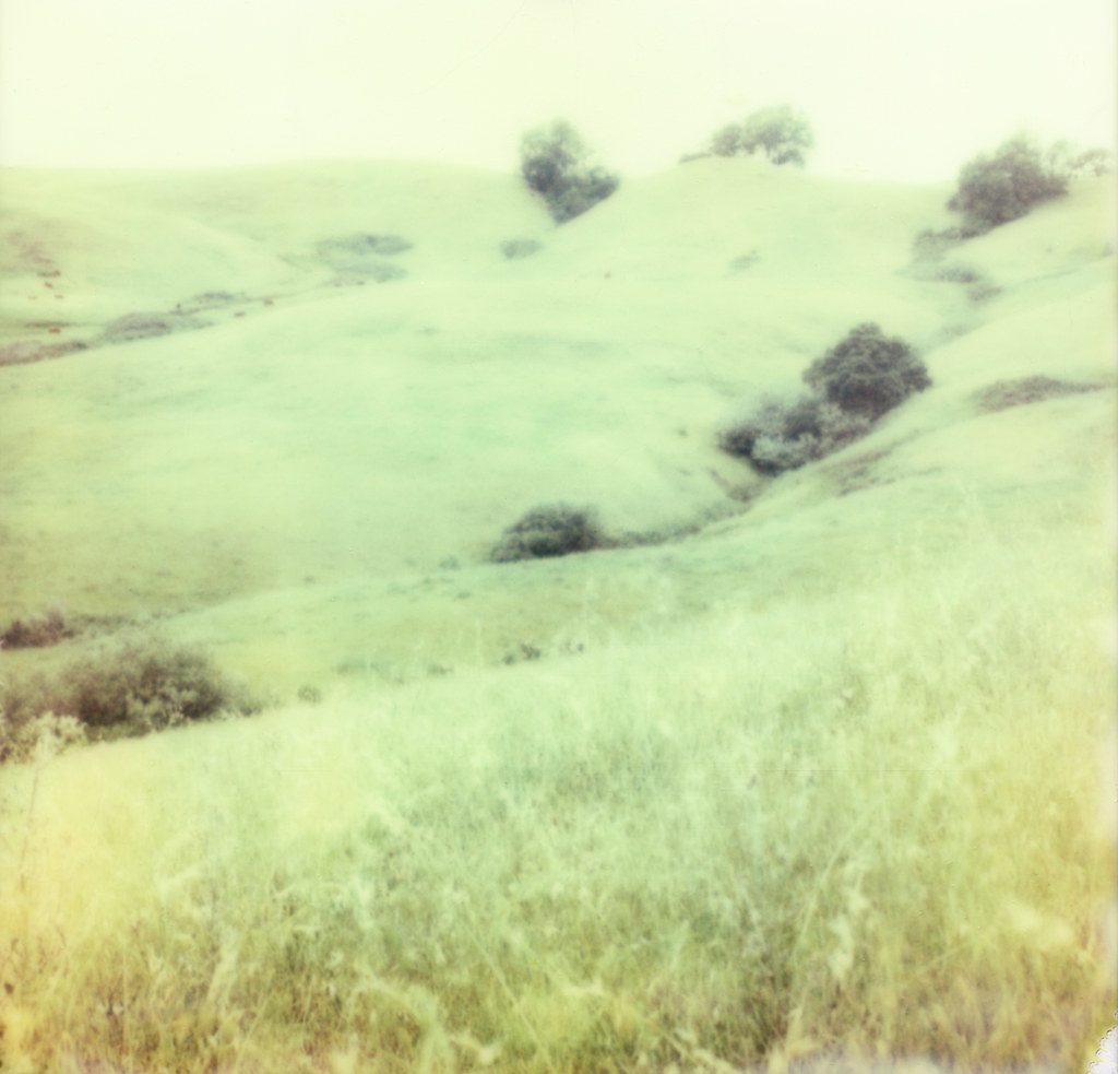
Roblar Hills

sophie on the tub

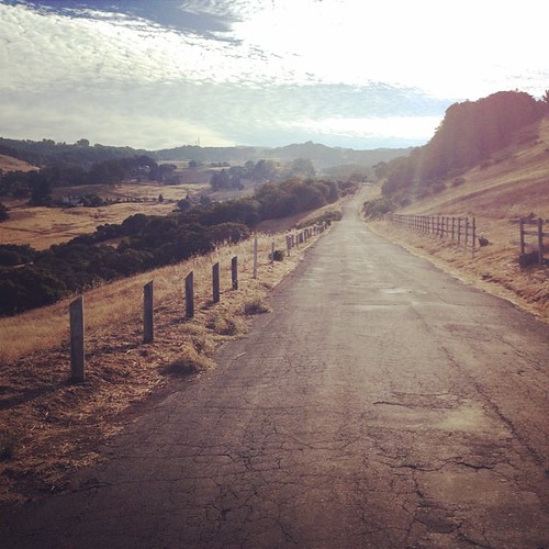
dusty lane

Post-Sundown-View

The view from my hook

View from the Top

133/366 - what a view!
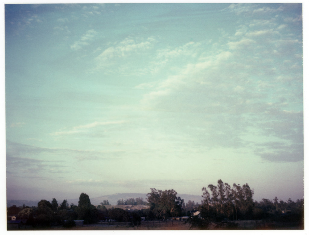
evening sky

perfectly-shaped tree
sonoma mtn

Vineyard Light
sunrise thru fog

Mother Nature's Light Painting
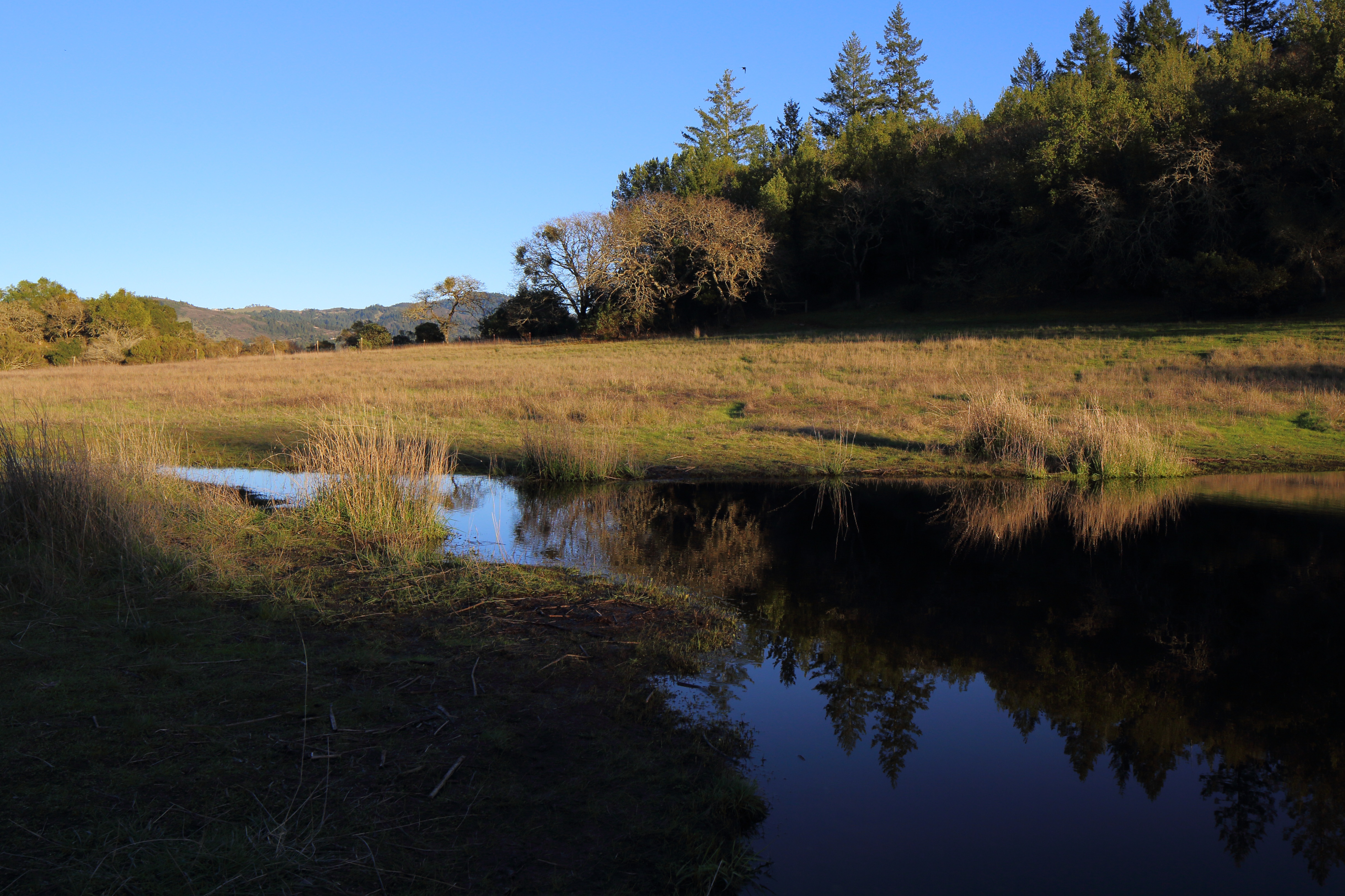
Seasonal Pond for the Newts

Autumnal vines

Out of the Mist

New Horizons
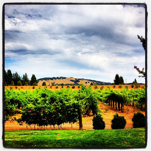
Vineyard!

Kunde Winery

Yellow Snow

Morning Light

hill and sky

IMGP4199-Edit
looking back up at Sonoma Mtn

more green-and-fog, from this morning's commute

grassland sunset
Topographic Map of Santa Rosa, CA, USA
Find elevation by address:

Places in Santa Rosa, CA, USA:
Southwest Santa Rosa
Riebli-wallace Neighborhood Group
Oakmont Village Association
Junior College Neighborhood Association
Burbank Gardens Neighborhood Association
Wright Area Action Group
Lincoln Manor Association
Memorial Hospital Neighborhood
Oakmont
5244 Monte Verde Dr
915 4th St
4676 Los Gatos Ct
3842 Horizon View Way
Jennings Avenue
211 E St
3957 Parker Hill Rd
5911 Yerba Buena Rd
3945 Parker Hill Rd
Kawana Elementary School
Crane Creek
Charles M. Schulz–sonoma County Airport
5013 Oak Park Way
4319 Fistor Dr
Deauville Place
Tuscan Terrace
739 Trowbridge St
2419 Guerneville Rd
Calistoga Road
Llano Road
Wilshire Dr, Santa Rosa, CA, USA
Occidental Rd, Santa Rosa, CA, USA
1080 Wikiup Dr
Dir
1074 Wikiup Dr
4711 Sunshine Ave
1429 Country Manor Dr
2626 Guerneville Rd
1744 Kerry Ln
3540 Unocal Pl
2334 Lomitas Ave
5777 Heights Rd
Santa Rosa Junior College
Ridgway Avenue
1382 Wikiup Dr
3930 Walker Ave
Trenton Rd, Santa Rosa, CA, USA
34 Mark West Springs Rd
34 Mark West Springs Rd
2963 Santa Rosa Ave
112 Lincoln St
16 Leisure Park Cir
245 Mountain View Ave
4400 Montgomery Dr
4747 Franz Valley Rd
Sports City At Epicenter
Pride Mountain Vineyards
Cleveland Avenue
3922 Alta Vista Ave
1045 Irwin Ln
Yulupa Ave & Tachevah Dr
4145 Shadow Ln
Bethards Dr & St Paul Dr
5519 Rainbow Cir
5209 Old Redwood Hwy
Stonefield Lane
2969 Old Bennett Ridge Rd
Mayacama Club Drive
4656 Quigg Dr
5190 Pressley Rd
4785 Sonoma Hwy
5900 Ca-12
1434 Twilight Way
3542 Parker Hill Rd
1007 Baird Rd
243 Jacqueline Dr
Midway Drive
2320 Olivet Ln
4350 Panorama Dr
2414 Lakeview Dr
2704 Range Ave
Los Alamos Rd, Santa Rosa, CA, USA
2704 Range Ave
4200 Alta Vista Ave
Malm Fireplace Center
1509 Santa Fe Dr
2002 Stonefield Ln
4570 Montgomery Dr
Sos
793 Springs Rd
2549 St Francis Rd
Cresta Rd, Santa Rosa, CA, USA
3700 Franz Valley Rd
250 Brey Rd
Olivet Rd, Santa Rosa, CA, USA
80 Oakcreek Ct
80 Oakcreek Ct
5289 San Luis Ave
229 Felicidad Ct
80 Oakcreek Ct
80 Oakcreek Ct
80 Oakcreek Ct
985 Slate Dr
80 Oakcreek Ct
850 Coddingtown Center
2809 St Paul Dr
1935 Lyon Ct
2875 Santa Rosa Ave B1
1119 Petaluma Hill Rd
2716 Cielo Ct
4537 Langner Ave
2042 San Miguel Ave
5433 Shallows Pl E
14 Chapala Dr
Guerneville Rd, Santa Rosa, CA, USA
2658 Hidden Acres Rd
2887 Bardy Rd
8596 St Helena Rd
1146 Adrienne Way
8596 St Helena Rd
8600 St Helena Rd
6902 Plum Ranch Rd
Laguna De Santa Rosa Foundation
Brickway Boulevard
Bellevue Ave, Santa Rosa, CA, USA
Places near Santa Rosa, CA, USA:
211 E St
Dir
915 4th St
636 Mill St
Burbank Gardens Neighborhood Association
375 Montgomery Dr
915 Humboldt St
Junior College Neighborhood Association
Ridgway Avenue
112 Lincoln St
1119 Petaluma Hill Rd
1228 Poplar St
637 Avalon Ave
Memorial Hospital Neighborhood
1805 Austin Way
739 Trowbridge St
West Ave, Santa Rosa, CA, USA
Kawana Elementary School
2425 Corby Ave
1524 Rose Ave
Recent Searches:
- Elevation of Pasing, Munich, Bavaria, 81241, Germany
- Elevation of 24, Auburn Bay Crescent SE, Auburn Bay, Calgary, Alberta, T3M 0A6, Canada
- Elevation of Denver, 2314, Arapahoe Street, Five Points, Denver, Colorado, 80205, USA
- Elevation of Community of the Beatitudes, 2924, West 43rd Avenue, Sunnyside, Denver, Colorado, 80211, USA
- Elevation map of Litang County, Sichuan, China
- Elevation map of Madoi County, Qinghai, China
- Elevation of 3314, Ohio State Route 114, Payne, Paulding County, Ohio, 45880, USA
- Elevation of Sarahills Drive, Saratoga, Santa Clara County, California, 95070, USA
- Elevation of Town of Bombay, Franklin County, New York, USA
- Elevation of 9, Convent Lane, Center Moriches, Suffolk County, New York, 11934, USA
- Elevation of Saint Angelas Convent, 9, Convent Lane, Center Moriches, Suffolk County, New York, 11934, USA
- Elevation of 131st Street Southwest, Mukilteo, Snohomish County, Washington, 98275, USA
- Elevation of 304, Harrison Road, Naples, Cumberland County, Maine, 04055, USA
- Elevation of 2362, Timber Ridge Road, Harrisburg, Cabarrus County, North Carolina, 28075, USA
- Elevation of Ridge Road, Marshalltown, Marshall County, Iowa, 50158, USA
- Elevation of 2459, Misty Shadows Drive, Pigeon Forge, Sevier County, Tennessee, 37862, USA
- Elevation of 8043, Brightwater Way, Spring Hill, Williamson County, Tennessee, 37179, USA
- Elevation of Starkweather Road, San Luis, Costilla County, Colorado, 81152, USA
- Elevation of 5277, Woodside Drive, Baton Rouge, East Baton Rouge Parish, Louisiana, 70808, USA
- Elevation of 1139, Curtin Street, Shepherd Park Plaza, Houston, Harris County, Texas, 77018, USA