Elevation of Sandia Creek Dr, Temecula, CA, USA

Location: United States > California > Riverside County > Temecula >

Longitude: -117.22892

Latitude: 33.474476

Elevation: 341m / 1119feet

Barometric Pressure: 97KPa

Elevation Map:

elevation map of Sandia Creek Dr, Temecula, CA, USA

Satellite Map:

Satellite map of Sandia Creek Dr, Temecula, CA, USA

Related Photos:

sky sun rain clouds temecula
Panorama looking south across the street from the library
vandalism usgsmarker
USGS Marker vandalism
california nightphotography nightshot hotels temecula bluelights longexposures palomarinn hotelpalomar oldtowntemecula llghts temeculahouseofwine oldtown112809meetup hotelsusa
A little bit blue
california sky clouds wagon temecula oldtowntemecula oldtown112809meetup
Old Town Temecula
california suburbia americana suburbs suburbanlife fa fallbrook iphone4backcamera385mmf28
Street View - Fallbrook
blue abstract building glass night bravo cyan direction question arrows feelings thisway chevrons blueribbonwinner platinumphoto platinumsuperstar
why do I feel this way?
temecula california diner libertykitchen cars road oldtown historic madmadellinesdiner
Liberty Kitchen
snow
Distant snow, about 60 miles away
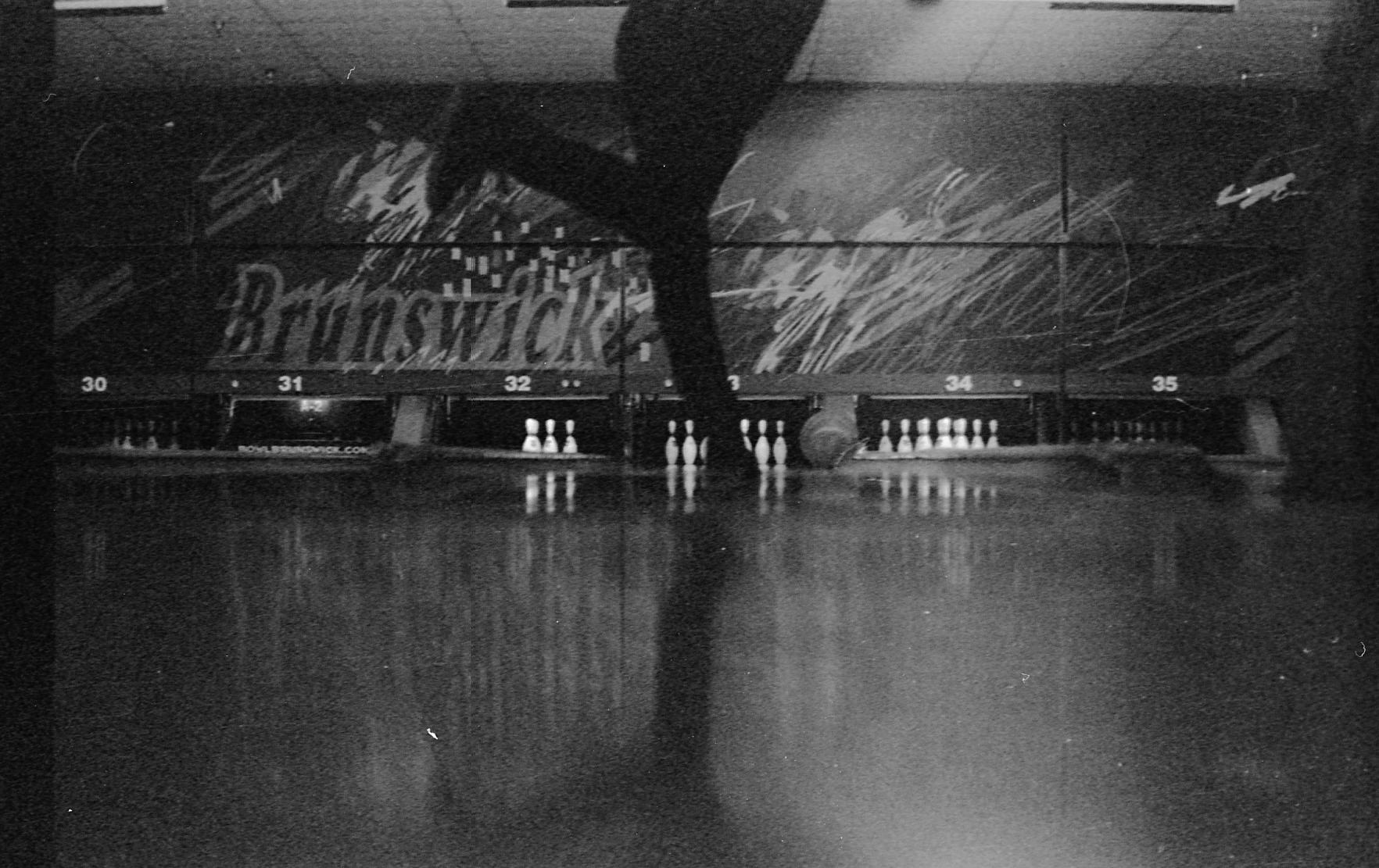
white film canon ball photography back lewis pins brunswick bowling antoine marquis artisa
Bowling view
square squareformat iphoneography instagramapp uploaded:by=instagram
My window view. Getting ready to pack up just in case they tell us to evacuate we ate okay l.
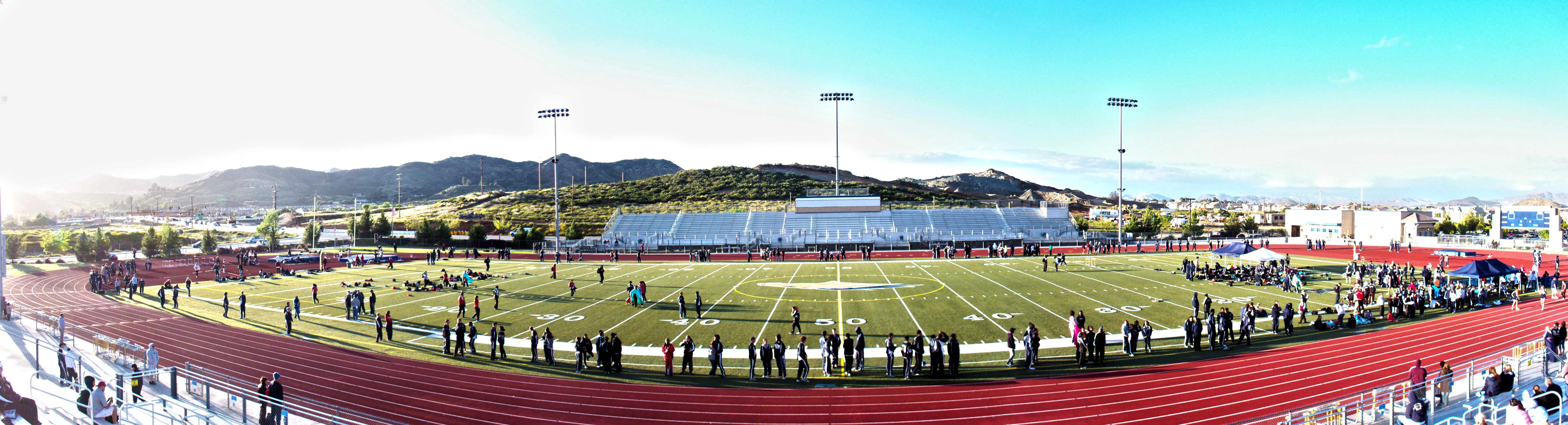
san diego dart darts plaza sunset desert background wynn encore panorama checkerboard fremont street experience marquis lewis circus track field lasvegas las vegas strip vista murrieta broncos valley great oak distance throwing sprint jumping long triple high pole vault 100 200 400 800 1600 mile 3200 4x100 4x200 4x00 8x100 8x200 shot put discus hurdles 110 300 meters antoine photography
Track Panorama
fullmoon explore 5000views explored fivethousandviews 99favs sandiegotripchristmas2015
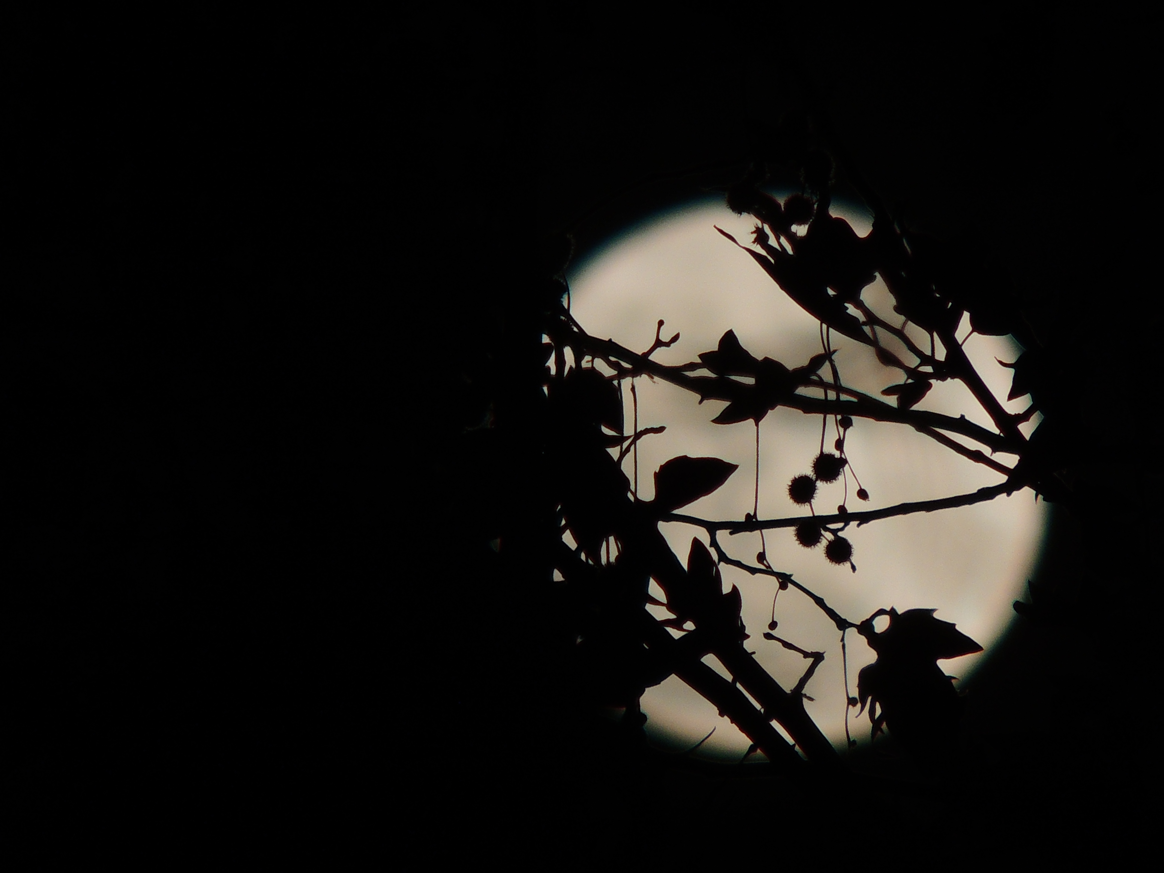
Christmas Full Moon ( Explored )
california mainstreet suburbia americana suburbs fa streetview fallbrook
S. Main Avenue - Fallbrook
california clouds canon eos rebel vineyard vines winery callaway temecula grape 1022mm hdr 10mm xti bej 400d markeloper
The Winter Wine (or Whine)
header southerncalifornia redmountain wildfire wildland smokecolumn hpwren camppendletionusmcbase
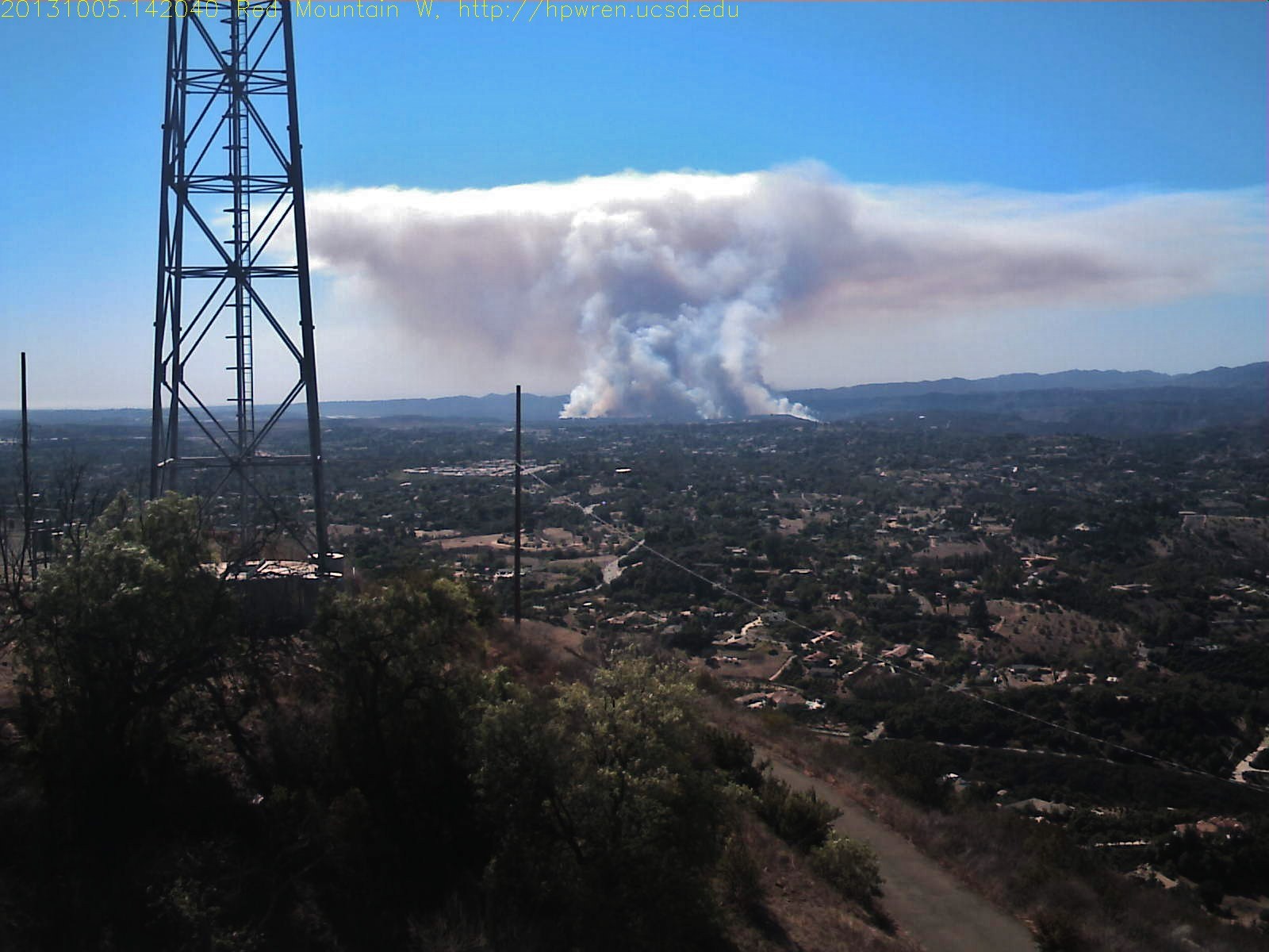
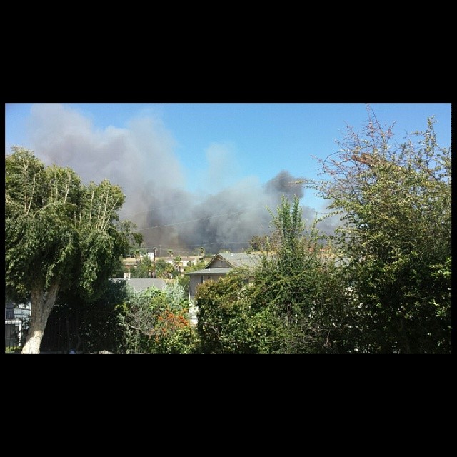
Red Mountain west view of Camp Pendleton wildfire
Jose Pelayo
california mainstreet suburbia americana suburbs fa fallbrook
Street View - S Main Avenue - Fallbrook
sunset sky mountains nature uploaded:by=flickrmobile flickriosapp:filter=nofilter
Sunset Sky
picplz foursquare:venue=4b9c2489f964a520714e36e3
my view #endoftheday
california blue friends funnyface eye smile face sunglasses losangeles vineyard vines eyes october funny wine blueeyes pop winery winetasting grapes scowl temecula wrinkle blueeye 2010 wineries
Before Starbacks, After Starbucks
square squareformat mayfair iphoneography instagramapp uploaded:by=instagram foursquare:venue=4d03d7892f96f04d074a1a54
My lunchtime view from the breakroom patio at work
california longexposure water waterfall silk golfcourse temecula redhawk ☆thepowerofnow☆ bobbyaycock
THE END RESULT, EXPLORED #54
santa tree field clouds 35mm nikon rosa f2 nikkor plains studios barrens d3 murrieta santarosaplateau plainjoe isayx3 plainjoephotoblogcom
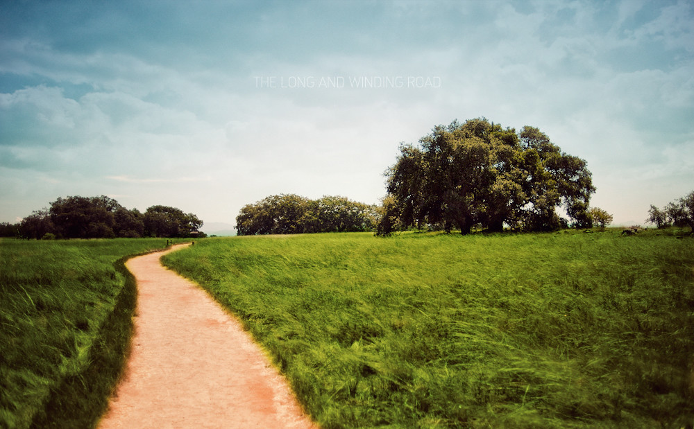
The Long and Winding Road
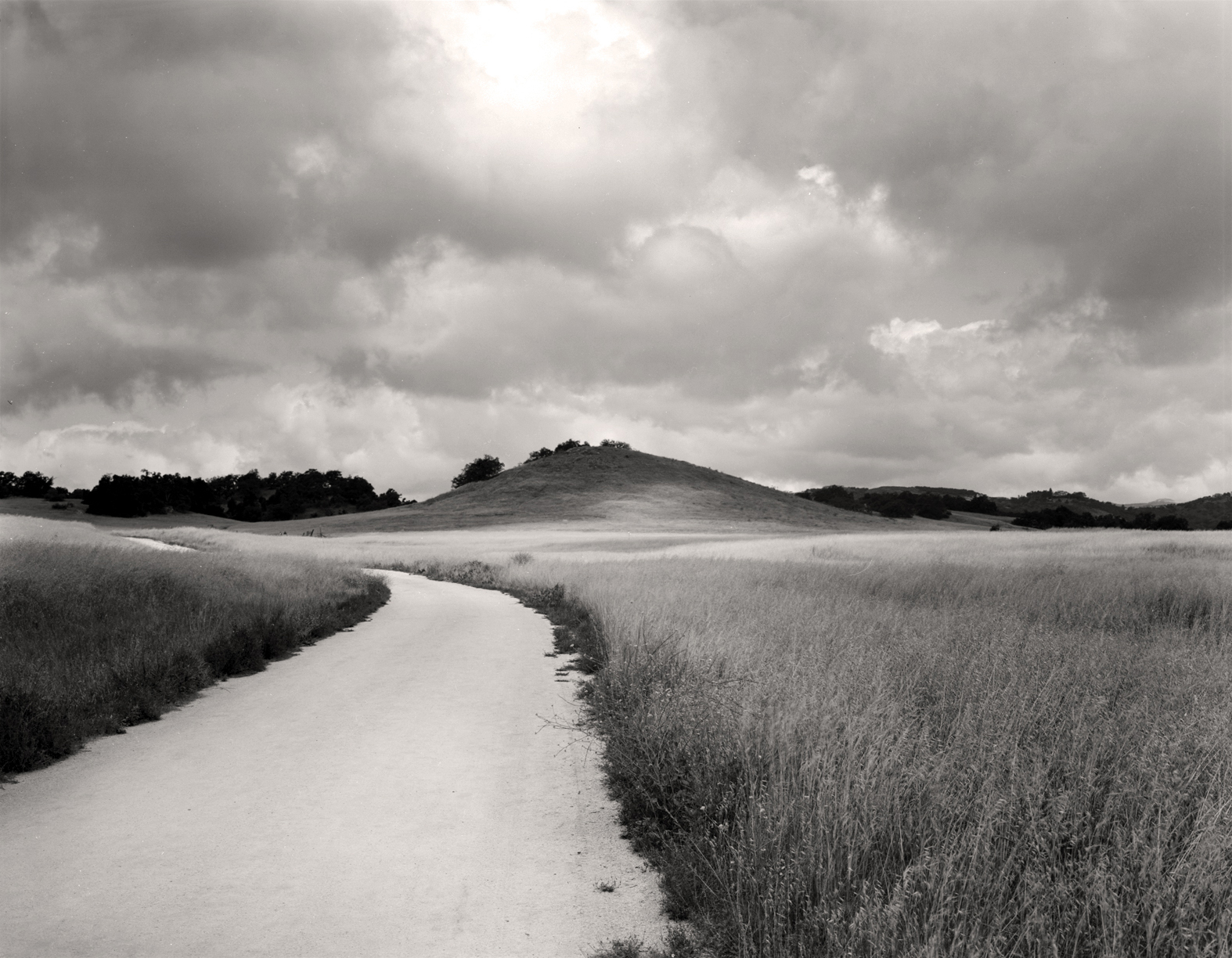
morning light nature grass clouds forest cloudy path 8x10 hills southerncalifornia santarosa ilford fp4 largeformat ilfordfp4
Santa Rosa Path
trees plants green grass canon walking landscape outdoors spring afternoon unitedstates hiking scenic powershot socal vegetation southerncalifornia oaks santarosaplateau riversidecounty ecologicalreserve project365 sx260
To the place I belong, Project 365: 75/365
My family, my life
california ca travel usa tree nature photoshop canon landscape march photo interestingness google interesting oak day photographer picture clarity explore socal adobe getty southerncalifornia adjust infocus 2014 santarosaplateau cs6 denoise santarosaplateauecologicalreserve 60d topazlabs photographersnaturecom davetoussaint
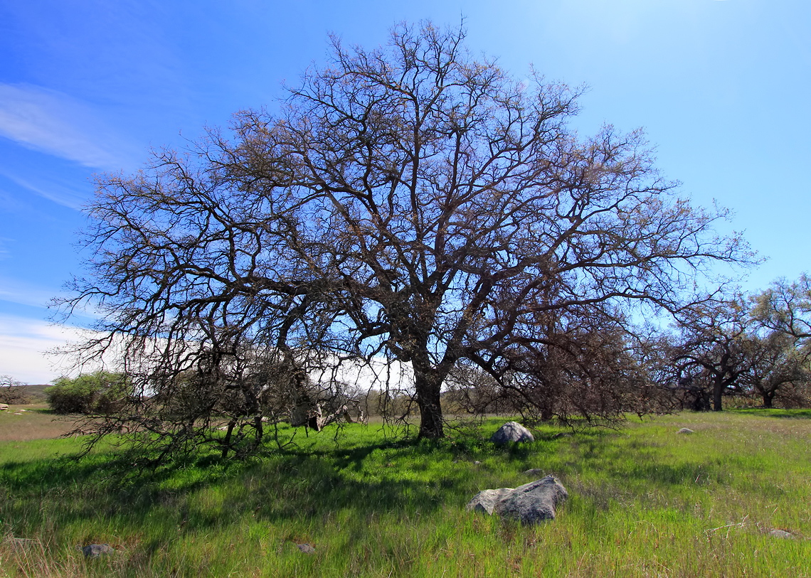
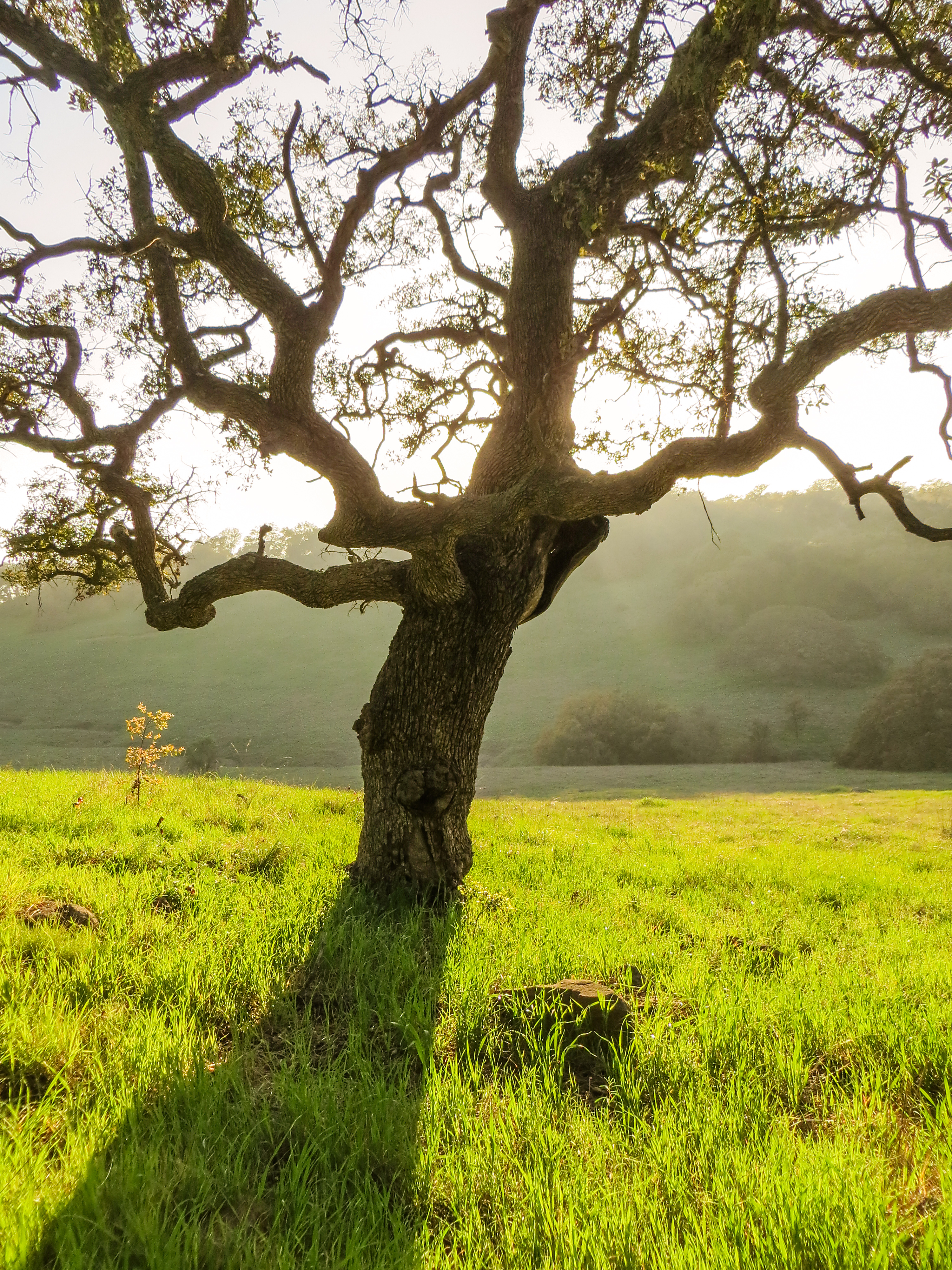
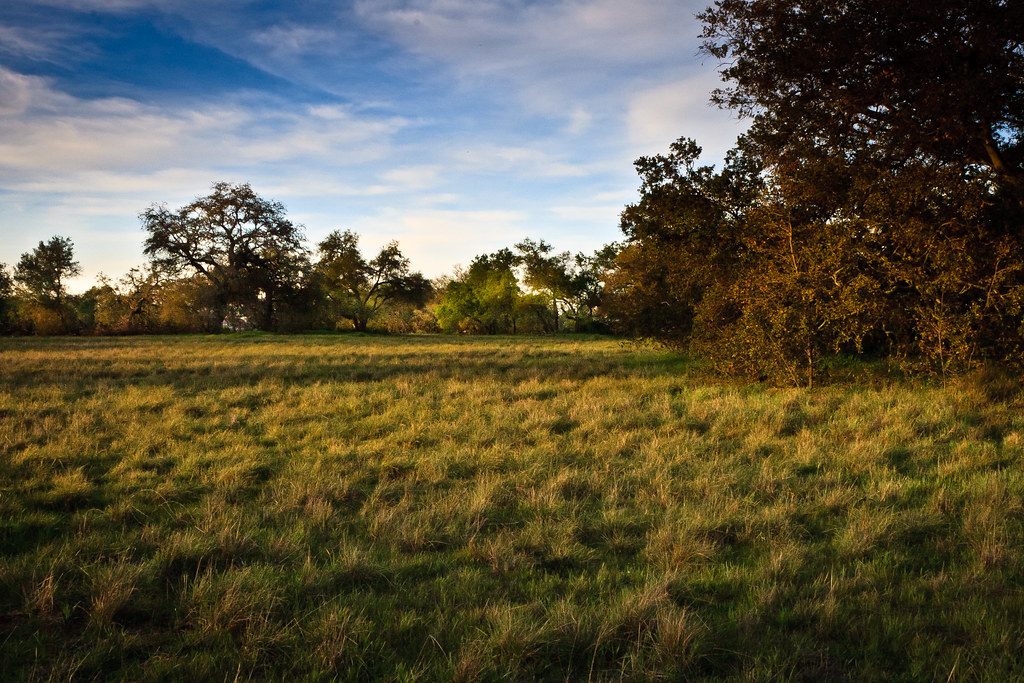
A Lone Oak on the Santa Rosa Plateau
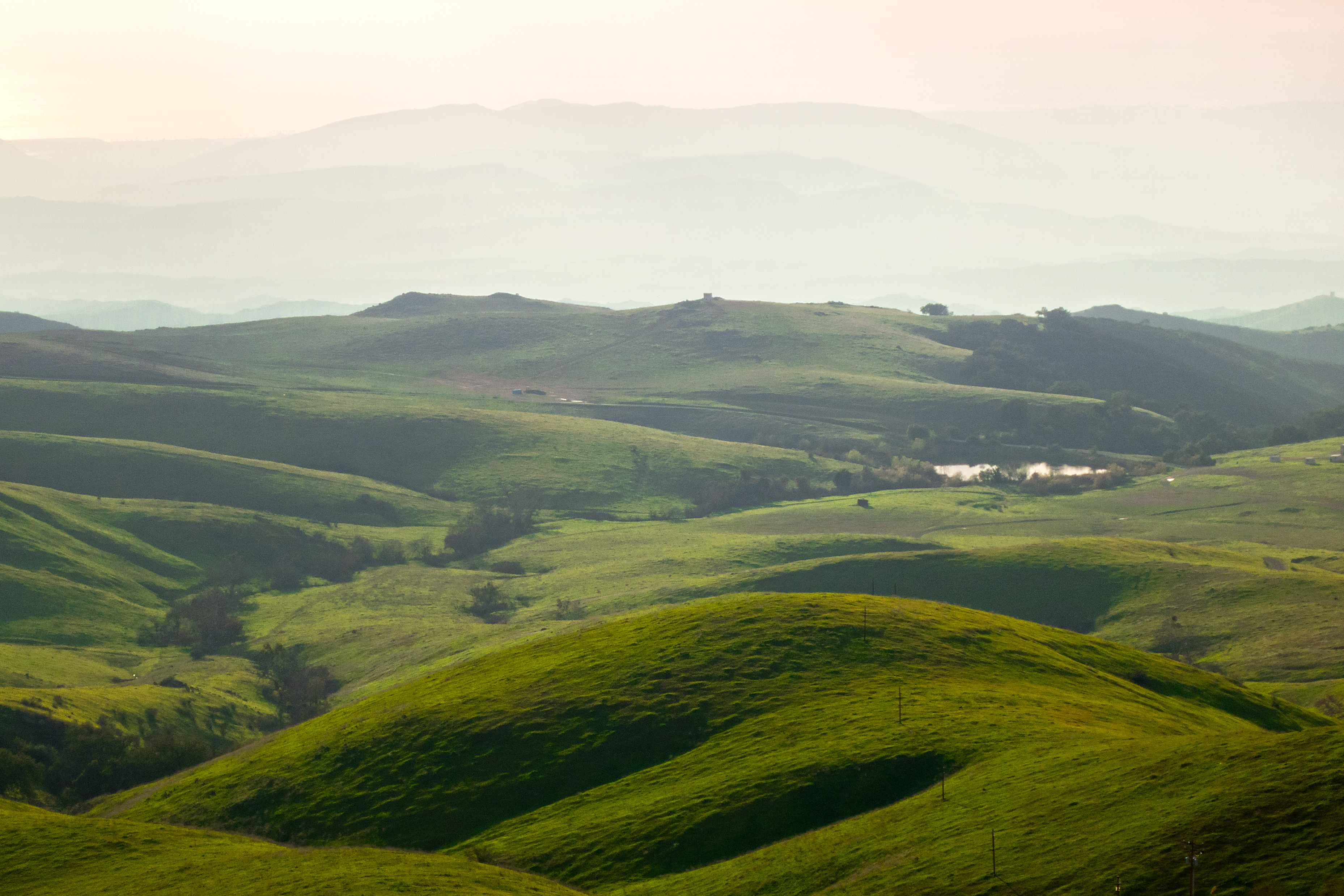
california santa unitedstates rosa murrieta plateauecologicalreservemurrietta
Santa Rosa 263
park sports ronald reagan ronnie temecula
Morning fog hanging low
california trees landscape oak nikon unitedstates nikkor murrieta 20mmf35ais santarosaplateauecologicalreserve d700
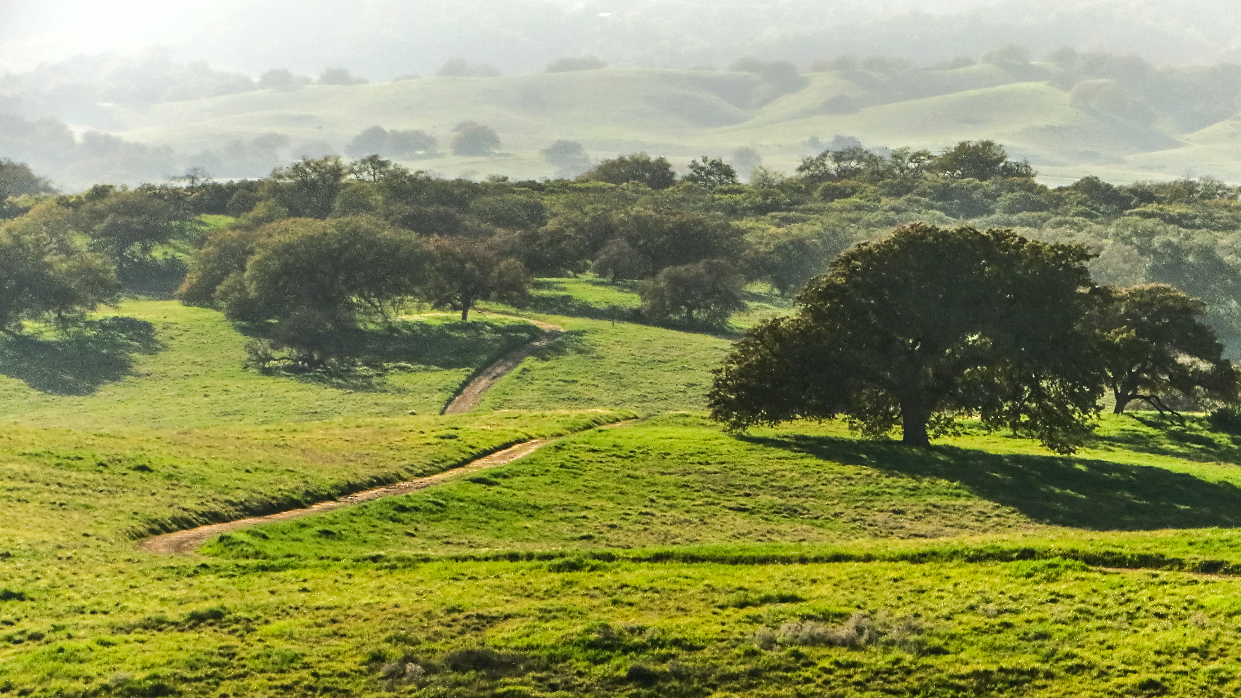
Santa Rosa Plateau Ecological Reserve
sansflash hipstamatic filmpistil objectifhelgaviking
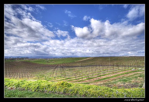
Shades of California
santarosaplateau uploaded:by=flickstagram instagram:photo=29740729639419121423031
Love this drive at #santarosaplateau
sky green nature grass canon landscape outdoors haze purple hiking horizon powershot hills pacificocean vegetation southerncalifornia s100 camppendleton santaanamountains santamargaritamountains margaritalookout
Santa Margarita Mountains and Pacific Ocean
winter green nature grass canon landscape outdoors hiking january powershot hills southerncalifornia s100 camppendleton clevelandnationalforest santamargaritamountains margaritalookout exsdc tenajaroad
The Rolling Green West of Margarita
winter nature canon landscape outdoors hiking january powershot hills southerncalifornia chaparral s100 camppendleton clevelandnationalforest santamargaritamountains margaritalookout exsdc tenajaroad
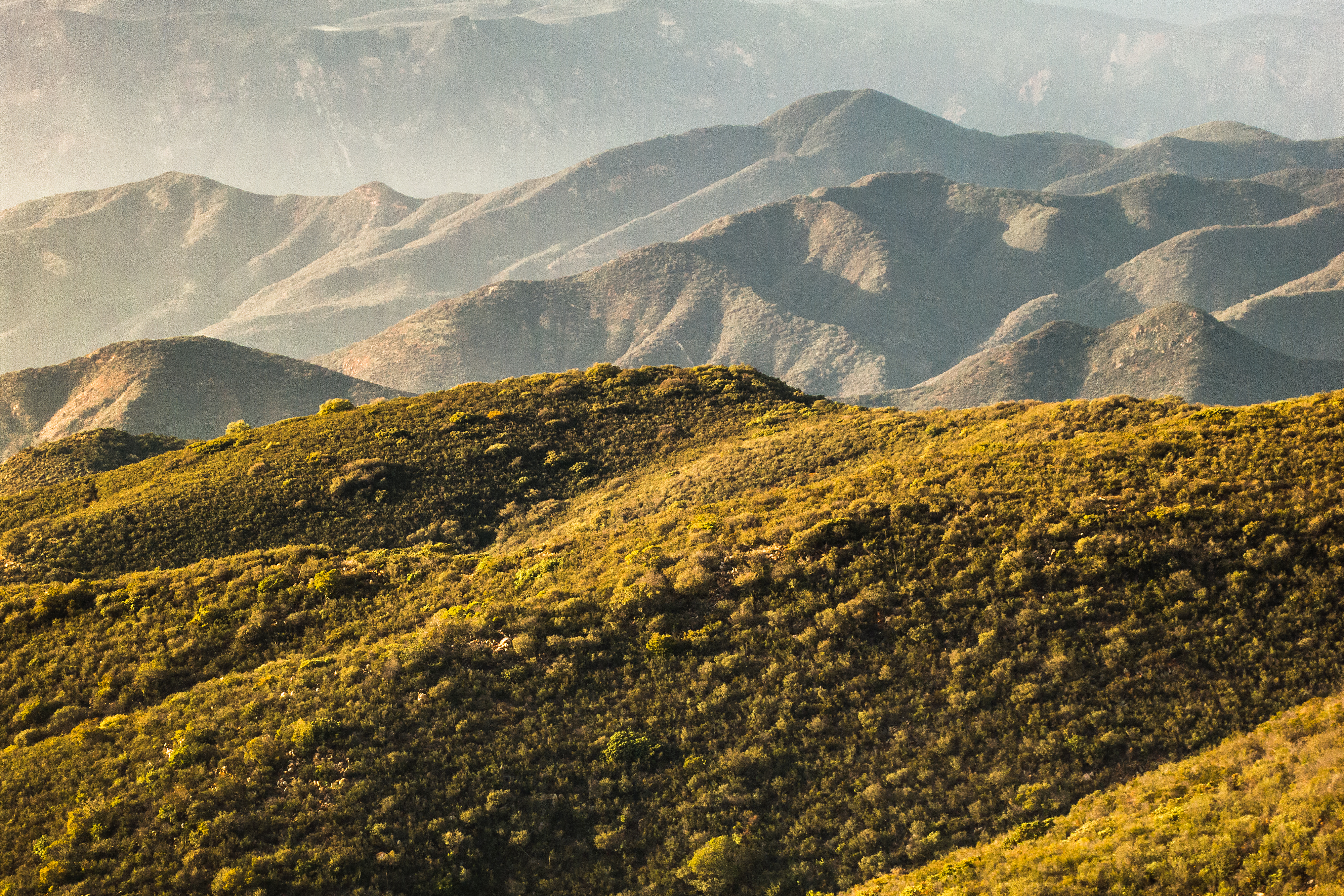
North to the San Mateo Wilderness
california tree green nature grass canon landscape spring powershot santarosaecologicalreserve sx260
Springtime, Santa Rosa Plateau
square squareformat amaro iphoneography instagramapp uploaded:by=instagram foursquare:venue=4c5dae656147be9a44bf9209
#california #trip #temecula
winter macro nature canon landscape outdoors flora hiking january powershot southerncalifornia chaparral s100 2015 yerbasanta clevelandnationalforest santamargaritamountains
Yerba Santa, Santa Margarita Mountains
santarosaplateau lauraphotos wsweekly85
Blowing in the Wind
california canon vernalpool santarosaplateau riversidecounty blueribbonwinner wildflowersunset
Santa Rosa Plateau Vernal Pool (Explored)
dng
Bunchgrass Prairie and Engelmann Oak Woodland