Elevation of Rock Mountain Rd, Fallbrook, CA, USA
Location: United States > California > San Diego County > Fallbrook >
Longitude: -117.24205
Latitude: 33.445934
Elevation: 322m / 1056feet
Barometric Pressure: 98KPa
Elevation Map:
Satellite Map:
Related Photos:

Christmas Full Moon ( Explored )
Temecula, California

Street View - S Main Avenue - Fallbrook

A little bit blue

Old Town Temecula

Tonight's view from my bedroom

Vesper Sparrow (Pooecetes gramineus)
Distant snow, about 60 miles away
Panorama looking south across the street from the library

why do I feel this way?

Bowling view

S. Main Avenue - Fallbrook
Red Mountain west view of Camp Pendleton wildfire

my view #endoftheday
My lunchtime view from the breakroom patio at work

Before Starbacks, After Starbucks

The Day After the Last Day of Winter
Lunch Time View
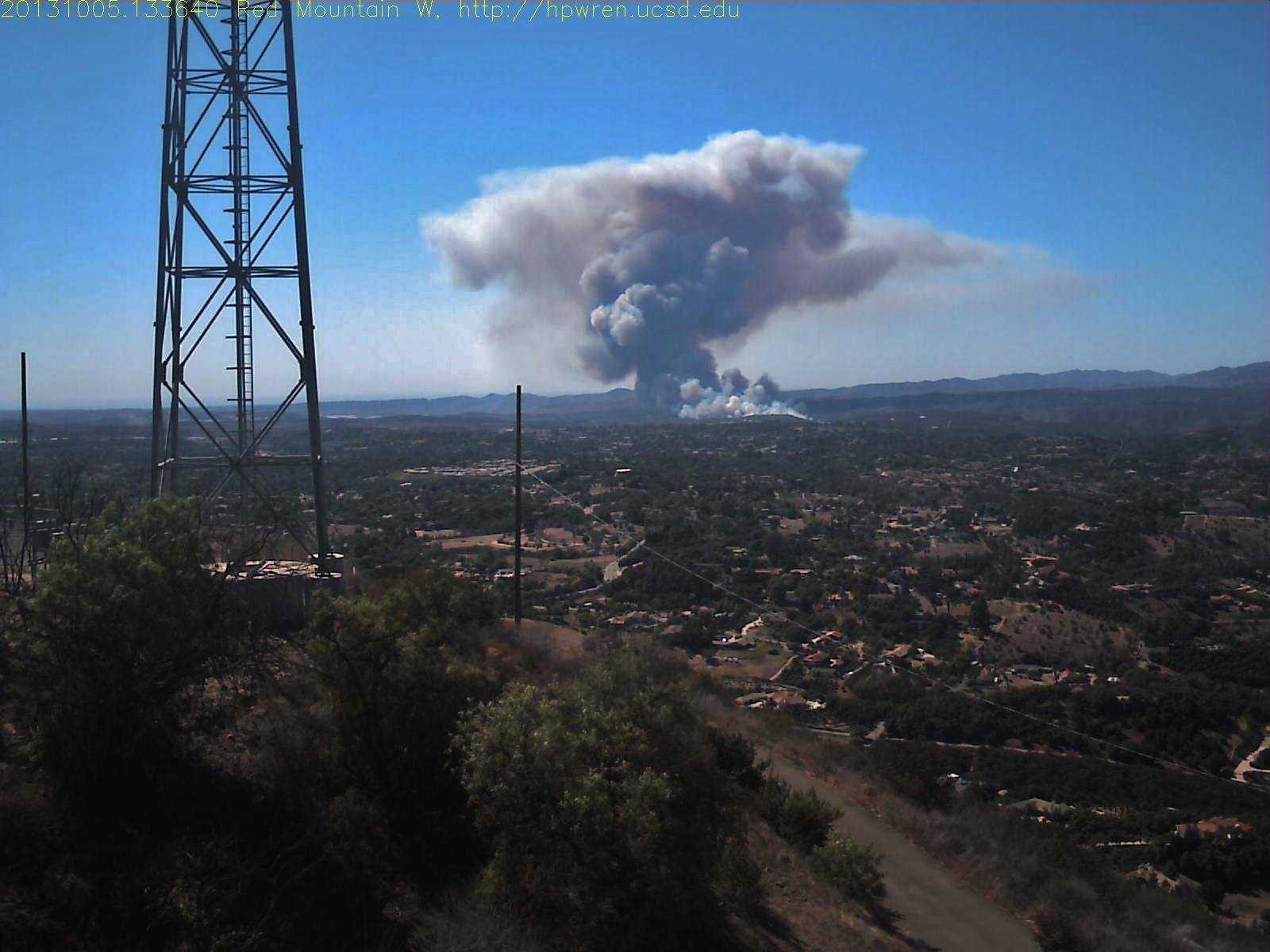
Red Mountain west view of Camp Pendleton wildfire

Stingray Rear View
A view to the pond
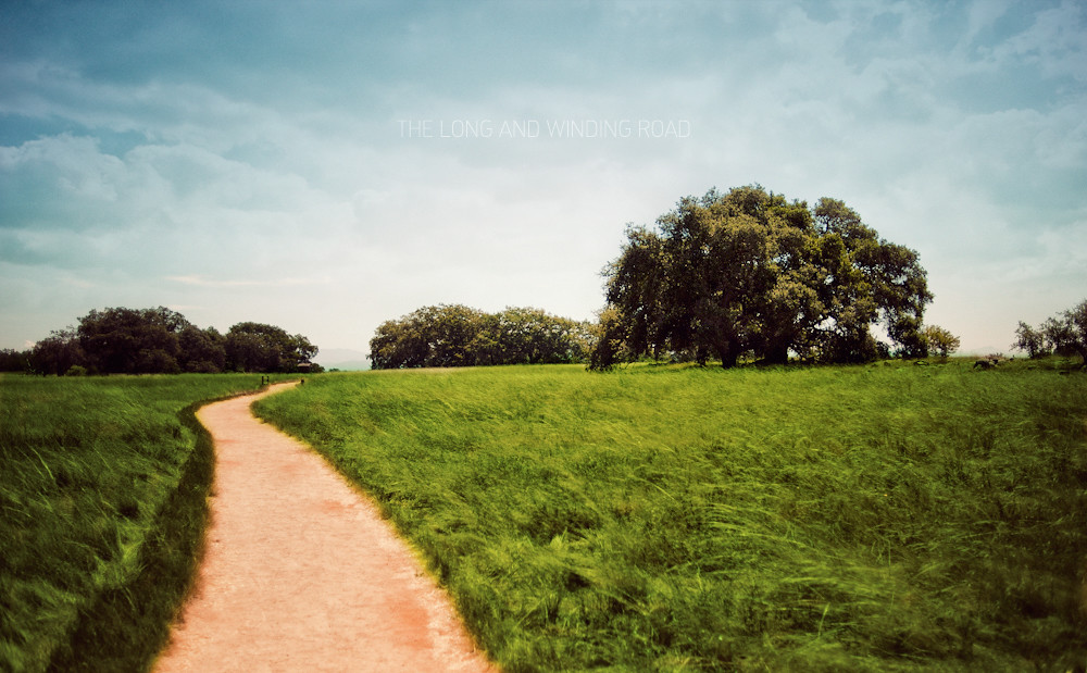
The Long and Winding Road
Santa Rosa Path
Santa Rosa 60

Santa Rosa 263
Love this drive at #santarosaplateau

Adam and his speed steed

THE END RESULT, EXPLORED #54

Santa Margarita Mountains and Pacific Ocean
The Rolling Green West of Margarita
North to the San Mateo Wilderness
Springtime, Santa Rosa Plateau
#california #trip #temecula

Yerba Santa, Santa Margarita Mountains

Blowing in the Wind
WP_20131211_051.jpg
Another beautiful day at Santa Rosa Plateau!
WP_20131211_052.jpg

Santa Rosa Plateau Vernal Pool (Explored)

Into The Horizon.
Topographic Map of Rock Mountain Rd, Fallbrook, CA, USA
Find elevation by address:

Places near Rock Mountain Rd, Fallbrook, CA, USA:
Rock Mountain Road
40505 Sandia Creek Dr
3450 W Sandia Creek Terrace
3450 W Sandia Creek Terrace
40717 Gavilan Mountain Rd
46320 Sandia Creek Dr
45525 Cll Jardin
1711 Vía De Lago
Vía Escondido
40436 Little Ross Rd
1850 Santa Margarita Dr
1808 Santa Margarita Dr
43689 Casalero Dr
43689 Casalero Dr
21110 Lillian Ln
25377 Via Oeste
Calle La Paz
26095 Cll Catrina
Macadamia Dr, Fallbrook, CA, USA
Tierra Nuevo
Recent Searches:
- Elevation of Corso Fratelli Cairoli, 35, Macerata MC, Italy
- Elevation of Tallevast Rd, Sarasota, FL, USA
- Elevation of 4th St E, Sonoma, CA, USA
- Elevation of Black Hollow Rd, Pennsdale, PA, USA
- Elevation of Oakland Ave, Williamsport, PA, USA
- Elevation of Pedrógão Grande, Portugal
- Elevation of Klee Dr, Martinsburg, WV, USA
- Elevation of Via Roma, Pieranica CR, Italy
- Elevation of Tavkvetili Mountain, Georgia
- Elevation of Hartfords Bluff Cir, Mt Pleasant, SC, USA