Elevation of Casalero Dr, Temecula, CA, USA
Location: United States > California > Riverside County > Temecula >
Longitude: -117.26511
Latitude: 33.489023
Elevation: 362m / 1188feet
Barometric Pressure: 97KPa
Elevation Map:
Satellite Map:
Related Photos:

Before Starbacks, After Starbucks

Spider vs Yellow Jacket

The Day After the Last Day of Winter
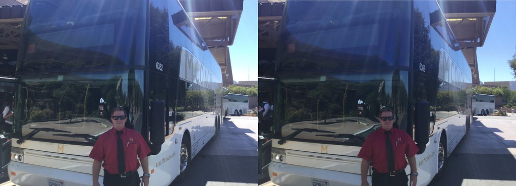
Skipper Gary is proud to be of five-star service with his double-deck VanHool TD925 inter-urban Astromega 81 passenger Motor Coach, #6362 in the Mcoach San Diego fleet.
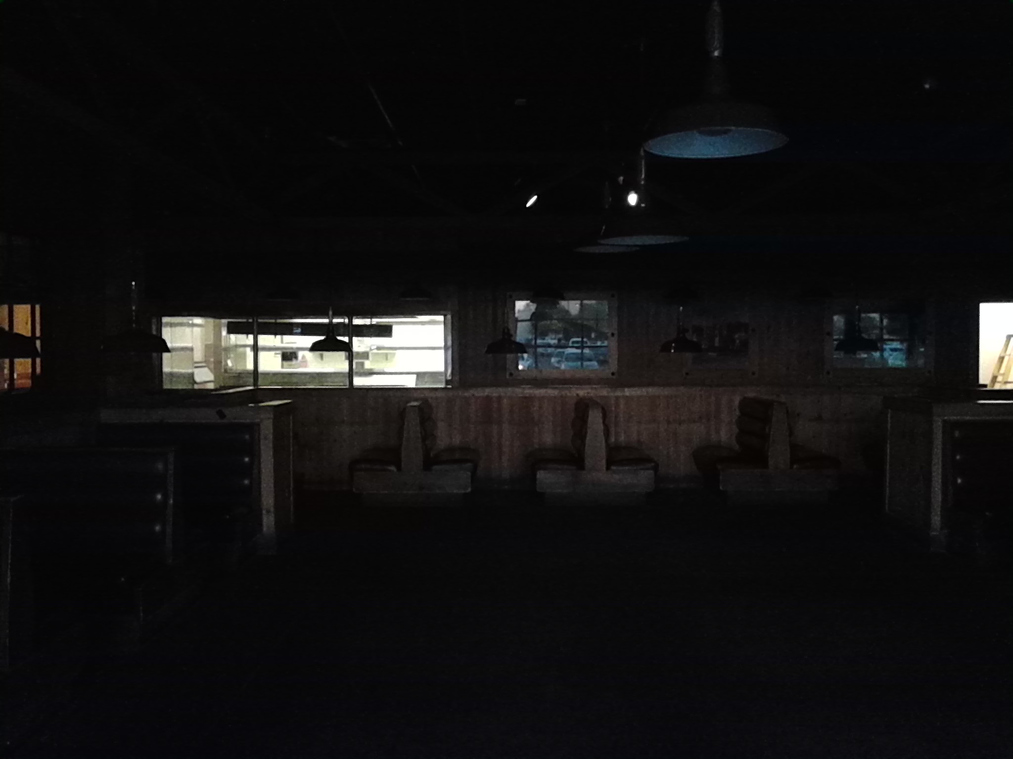
Darken Lobby
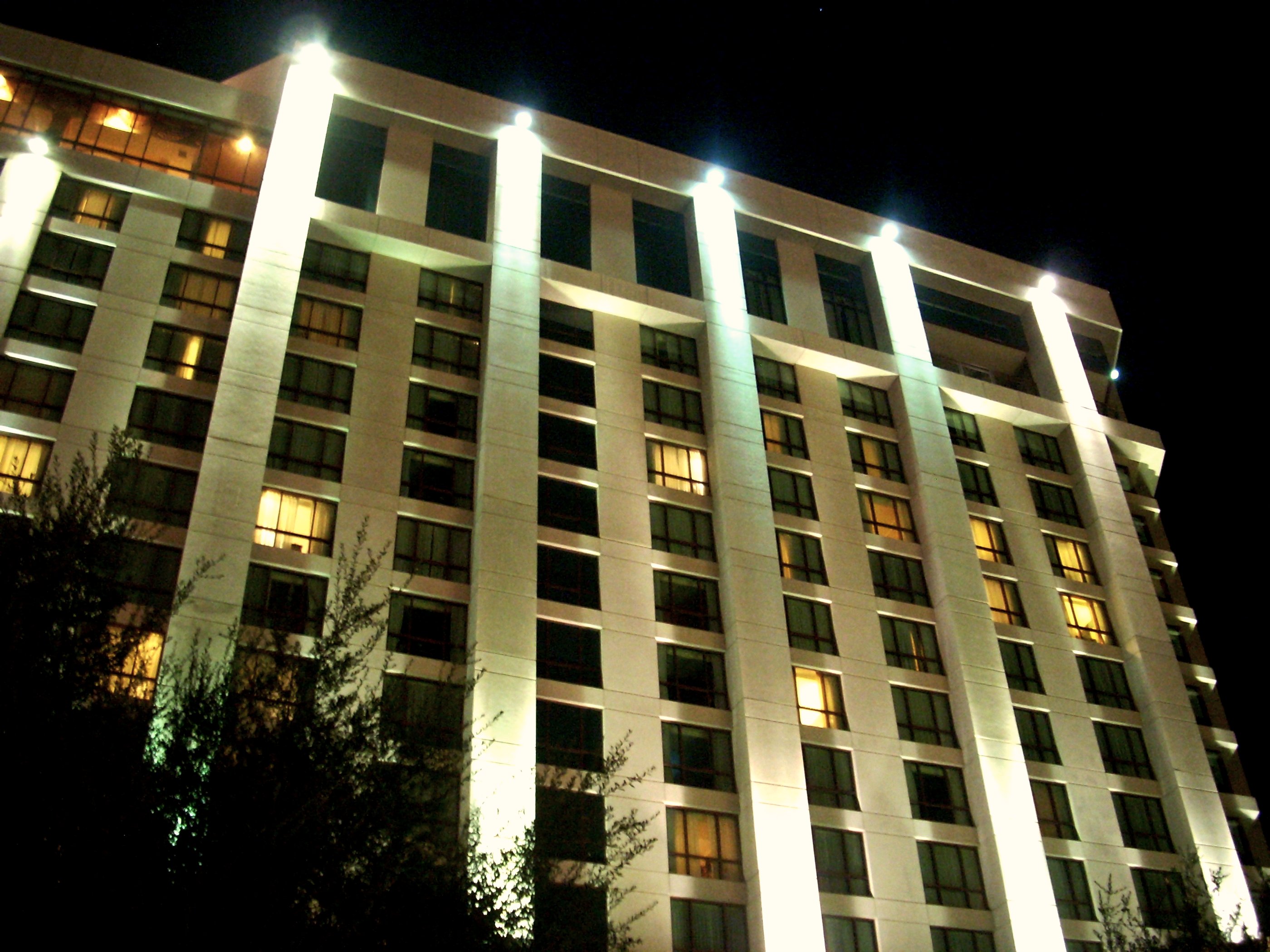
Pechanga at night

Cubicle With a View (N369KK)
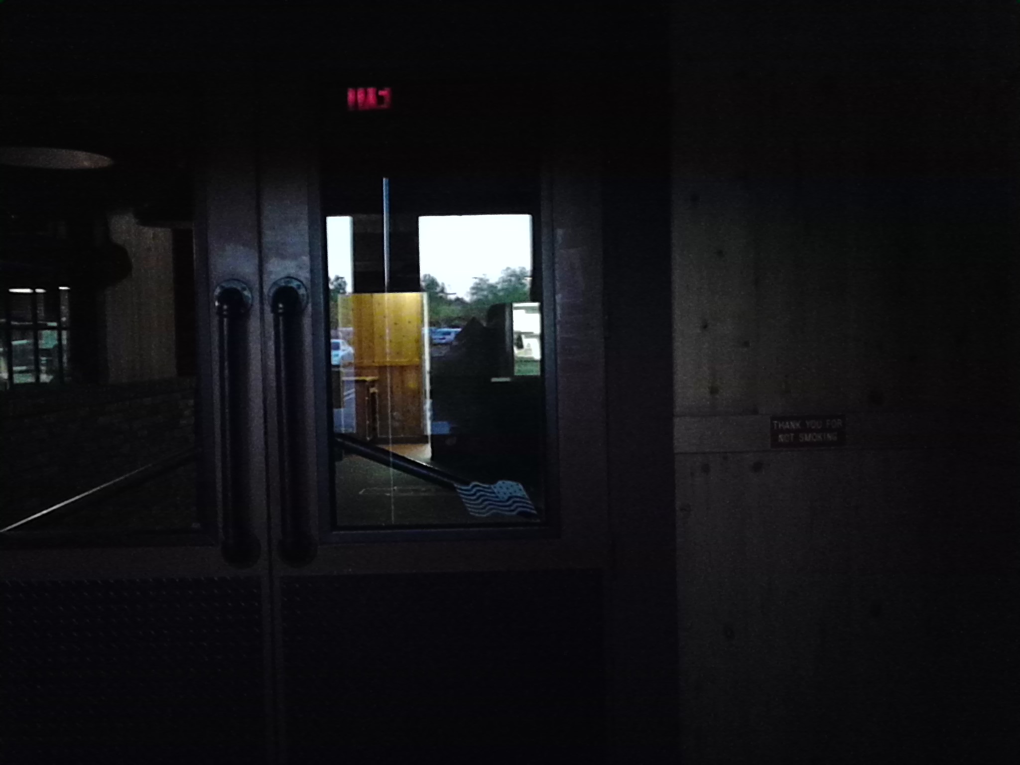
Haunting Interiors...

Cooper's Hawk. Murrieta CA.

why do I feel this way?

Street View - Fallbrook
Panorama looking south across the street from the library
Bowling view
Track Panorama
Red Mountain west view of Camp Pendleton wildfire
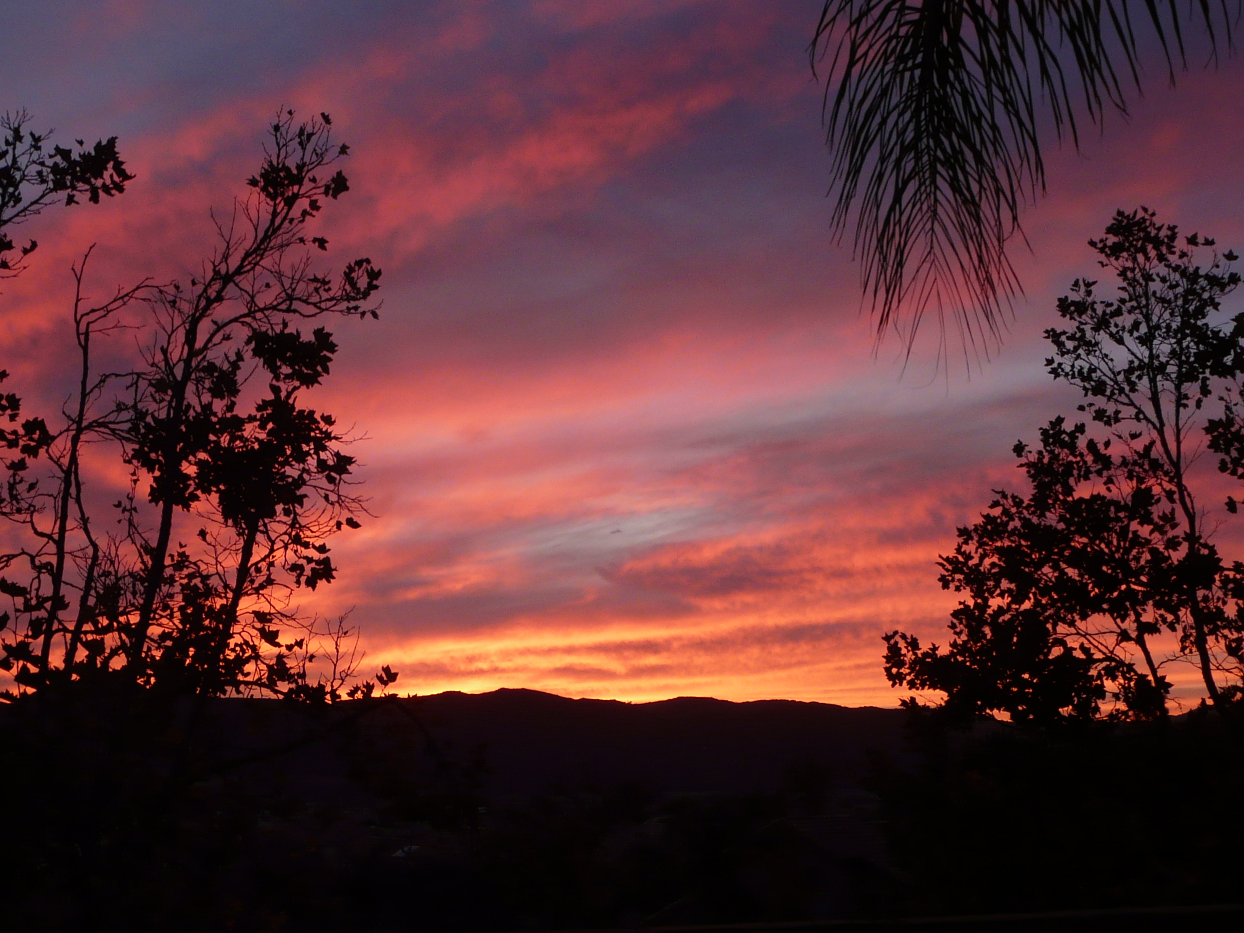
Murrieta Sunset
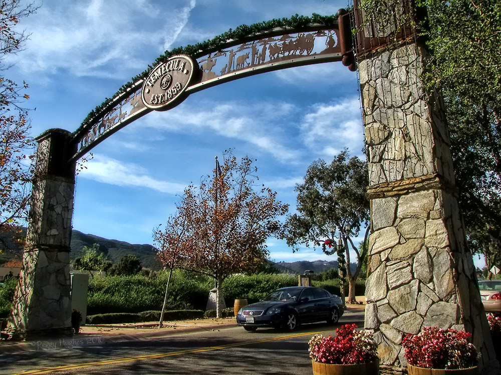
Temecula, California

S. Main Avenue - Fallbrook
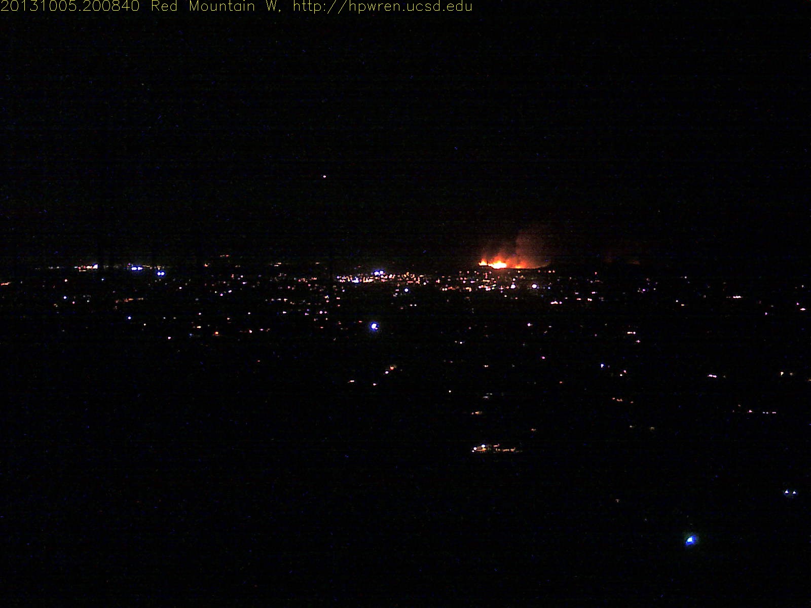
Wildland fire night view

Atlas 5 Rocket Launch

Street View - S Main Avenue - Fallbrook
THE END RESULT, EXPLORED #54

To the place I belong, Project 365: 75/365

Fog shrouded Oak Tree

Blowing in the Wind

The Man Who Went Up a Hill and Other Stories
What I do when people that aren't homeless are at work.

Sunset Flowers
I hear Valkyries

The Ground Aflame
Santa Rosa Path
Springtime, Santa Rosa Plateau

Santa Margarita Mountains and Pacific Ocean
The Rolling Green West of Margarita
The Long and Winding Road

Yerba Santa, Santa Margarita Mountains
Morning fog hanging low

Santa Rosa 263
La Cresta
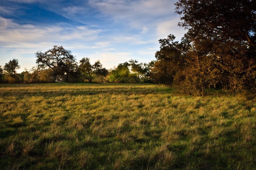
Bunchgrass Prairie and Engelmann Oak Woodland
WP_20131211_062.jpg
Topographic Map of Casalero Dr, Temecula, CA, USA
Find elevation by address:

Places near Casalero Dr, Temecula, CA, USA:
43689 Casalero Dr
21110 Lillian Ln
Carancho Rd, Temecula, CA, USA
44410 Los Gatos Rd
46320 Sandia Creek Dr
40505 Sandia Creek Dr
40436 Little Ross Rd
25377 Via Oeste
Santa Rosa Plateau
Vía Escondido
4150 Rock Mountain Rd
Rock Mountain Road
45525 Cll Jardin
De Luz Murrieta Road
39400 Clinton Keith Rd
3450 W Sandia Creek Terrace
3450 W Sandia Creek Terrace
26095 Cll Catrina
24755 Rancho California Rd
40150 Avenida Del Tiendas
Recent Searches:
- Elevation of Corso Fratelli Cairoli, 35, Macerata MC, Italy
- Elevation of Tallevast Rd, Sarasota, FL, USA
- Elevation of 4th St E, Sonoma, CA, USA
- Elevation of Black Hollow Rd, Pennsdale, PA, USA
- Elevation of Oakland Ave, Williamsport, PA, USA
- Elevation of Pedrógão Grande, Portugal
- Elevation of Klee Dr, Martinsburg, WV, USA
- Elevation of Via Roma, Pieranica CR, Italy
- Elevation of Tavkvetili Mountain, Georgia
- Elevation of Hartfords Bluff Cir, Mt Pleasant, SC, USA