Elevation of Sand Mountain, Speedwell, VA, USA
Location: United States > Virginia > Wythe County > Speedwell >
Longitude: -81.068420
Latitude: 36.9076204
Elevation: 1113m / 3652feet
Barometric Pressure: 89KPa
Elevation Map:
Satellite Map:
Related Photos:

"Key Ingredients" restaurant, Max Meadows, VA

Hanging at High Rocks. Wytheville VA

#travel #wanderlust #trip #vacation #travelgram #holiday #instatravel #beautiful #travelling #instagood #vsco #photooftheday #tourism #usa #picoftheday #travelphotography #roadtrip #vscocam #view #traveling #summer #road #explore #driving #ontheroad #amer
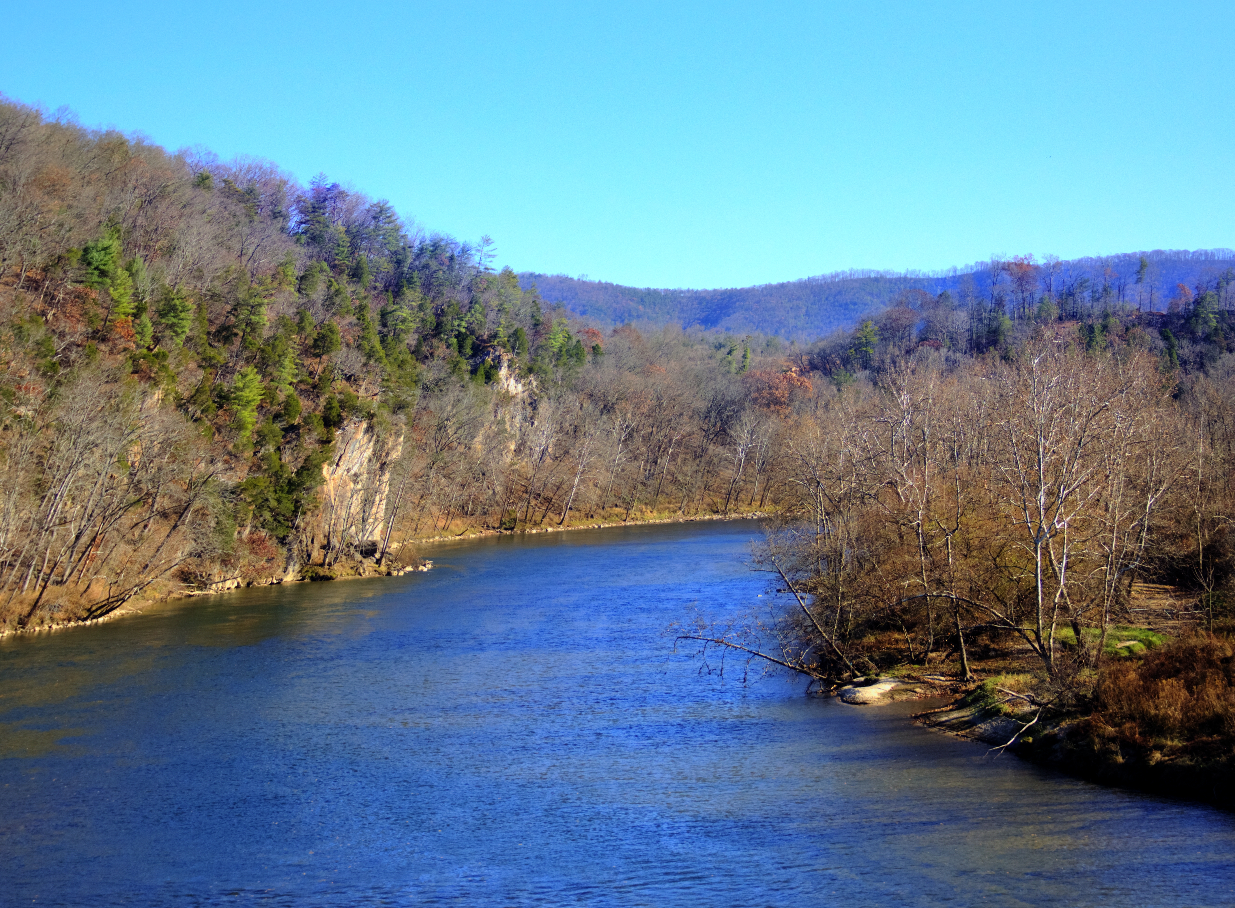
New River Rail/Trail

View from the parking lot

I-77 North Virginia - Exit 32

Aerial view of Blue Ridge Mountains and Shenandoah Valley near Blacksburg VA

Thanks so much for all the views and subscribers!

Winter will not let us escape his grasp

Aerial view of Virginia Tech University Lane Stadium and Shenandoah Valley - Blacksburg VA

View from roof of Bolling Wilson Hotel

130716-3453 Wytheville

Springtime at Crockett

130716-3451 Wytheville

A red barn with trees

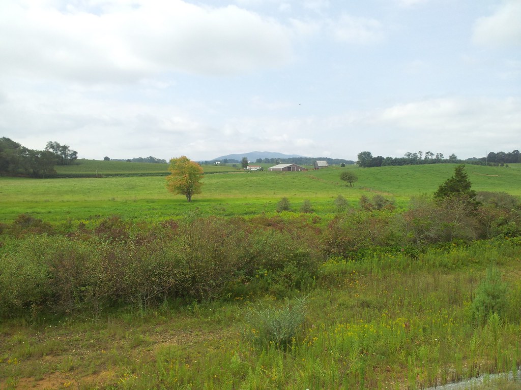
A nice rural scene in VA
Barn Near Crockett

Robert D. Cook 2010 "Walking Home"

St. Paul's Lutheran Church

IMG_2835-Edit.jpg

Robert D. Cook 2010

Countryside #landscapelovers #htcevo4glte #HTC #webstagram #statigram #gramfeed #instagram #instamood #instapic #instagood #instagramers #instagrammer #instagramhub #cloudlovers #cloudporn #skysnappers #skylovers

From my Window

Wytheville,VA sunset16

Wytheville,VA sunset17
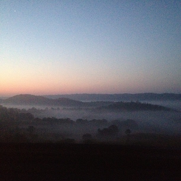
Sunrise this morning somewhere on our way home from the beach. Foggy.

Yellow Goatsbeard - Tragopogon dubius

On the road.

Sunset at Crockett

Biking the New River trail
Topographic Map of Sand Mountain, Speedwell, VA, USA
Find elevation by address:

Places near Sand Mountain, Speedwell, VA, USA:
Appalachian Mountains
107 Peachtree Ln
327 S Wye Rd
Mule Hell Road
276-282
Huddle
224 Timberland Dr
Sheffey School Road
Speedwell
295 Sheffey School Rd
2019 Pope Rd
Cripple Creek
2614 Ivanhoe Rd
108 Old Bear Trail
571 Old Mountain Rd
3639 Ivanhoe Rd
3669 Ivanhoe Rd
114 Rickey Rd
297 Bentwood Dr
1053 Crockett Rd
Recent Searches:
- Elevation of Corso Fratelli Cairoli, 35, Macerata MC, Italy
- Elevation of Tallevast Rd, Sarasota, FL, USA
- Elevation of 4th St E, Sonoma, CA, USA
- Elevation of Black Hollow Rd, Pennsdale, PA, USA
- Elevation of Oakland Ave, Williamsport, PA, USA
- Elevation of Pedrógão Grande, Portugal
- Elevation of Klee Dr, Martinsburg, WV, USA
- Elevation of Via Roma, Pieranica CR, Italy
- Elevation of Tavkvetili Mountain, Georgia
- Elevation of Hartfords Bluff Cir, Mt Pleasant, SC, USA