Elevation of Crockett Rd, Crockett, VA, USA

Location: United States > Virginia > Wythe County > Black Lick > Crockett >

Longitude: -81.17123

Latitude: 36.8717475

Elevation: 750m / 2461feet

Barometric Pressure: 93KPa

Elevation Map:

elevation map of Crockett Rd, Crockett, VA, USA

Satellite Map:

Satellite map of Crockett Rd, Crockett, VA, USA

Related Photos:

highrocks wythevillevirginia nikon20mm18 bigsurveywildlifemanagementarea nikond750 hikinginsouthwestvirginia wythecountyhikes
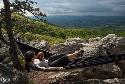
Hanging at High Rocks. Wytheville VA
hotel wytheville
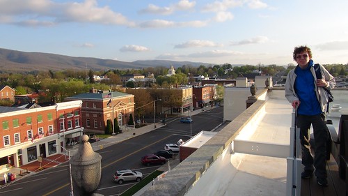
View from roof of Bolling Wilson Hotel
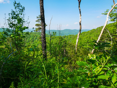
camerphone southwestvirginia wythville highrockstrail bigsurveywildlifemanagementarea lgv10 virginiawildlifemanagement hikingnearwytheville
High Rocks Trail, Wytheville VA.
shenandoah valley wytheville virginia unitedstates us va aerial view vista allegheny blueridge mountain mountains range blue ridge tech university lane stadium blacksburg
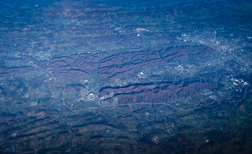
Aerial view of Virginia Tech University Lane Stadium and Shenandoah Valley - Blacksburg VA
aerial view blue ridge mountains shenandoah valley near blacksburg va wytheville virginia unitedstates us vista allegheny blueridge mountain range
Aerial view of Blue Ridge Mountains and Shenandoah Valley near Blacksburg VA
county travel tourism nature virginia wytheville wythe wythecounty
Town of Rural Retreat
hotel wytheville
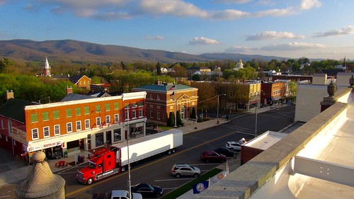
View from roof of Bolling Wilson Hotel
mountains virginia scenicviews jeffersonnationalforest mountrogersnationalrecreationarea comersrock
Panoramic View from Comers Rock
mountains virginia scenicviews jeffersonnationalforest mountrogersnationalrecreationarea comersrock
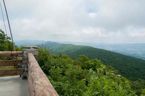
View from Comers Rock
mountains virginia scenicviews jeffersonnationalforest mountrogersnationalrecreationarea comersrock
Comers Rock Overlook
travel winter usa snow ice breakfast bobevans wytheville i77
Winter will not let us escape his grasp
88doublet elecraftkx2 hardrock50 horseheaven ki4svm sota summitsontheair w4vwv022 speedwell virginia unitedstatesofamerica
W4V/WV-022 - Horse Heaven View
sota summitsontheair yaesuft817 comersrock ki4svm 88doublet hardrock50 w4vwv013
View from W4V/WV-013 - Comers Rock
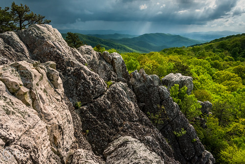
virginia wytheville highrocks wythecounty nikon28300 nikond750 highrockswytheville
Afternoon Rays on High Rocks
trees barn fence landscape virginia cows hills fields np redbarn ruralretreat wyojones
Rural Retreat
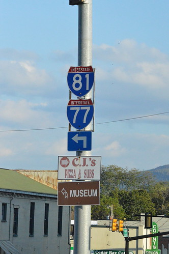
I-81 and I-77 shields Wytheville, VA
interstate81
I81 from Wytheville va
rural retreat
Fire near rural retreat
beautiful rural virginia scene crockett 2013 historicoutdoorelevator
Barn Near Crockett
crockett 2014
Sunset at Crockett
square squareformat normal ruralretreat iphoneography instagramapp uploaded:by=instagram foursquare:venue=4ce002f7c4f6a35d4879d36c
Virginia is Beautiful
crockett norfolksouthern train
Scenery at crockett va
cows crockett outdoor
cows in crockett
rural retreat
Scenery near Rural Retreat
barns wytheville
Old Barns
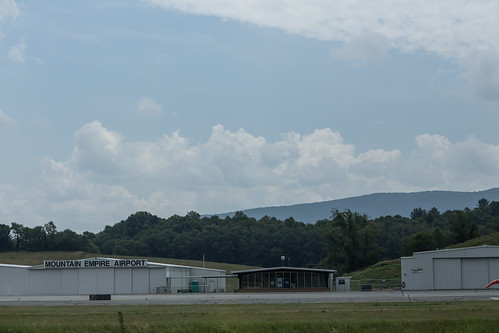
mountain virginia airport unitedstates empire ruralretreat
Mountain Empire Airport
virginia cows
Hungry?
Ford on Johnny Lane
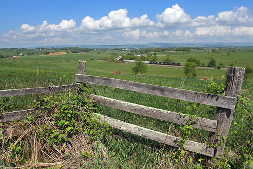
railroad clouds train fence virginia ns farm va springtime crockett freighttrain norfolksouthern ruralretreat trainno38q
Springtime at Crockett
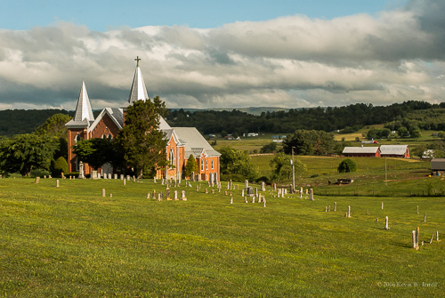
virginia worship faith churches historic lutheran ruralretreat wythecounty ruralphotography ruralchurches
St. Paul's Lutheran Church