Elevation of Cripple Creek, VA, USA
Location: United States > Virginia > Wythe County > Speedwell >
Longitude: -81.098413
Latitude: 36.8208237
Elevation: 670m / 2198feet
Barometric Pressure: 94KPa
Elevation Map:
Satellite Map:
Related Photos:
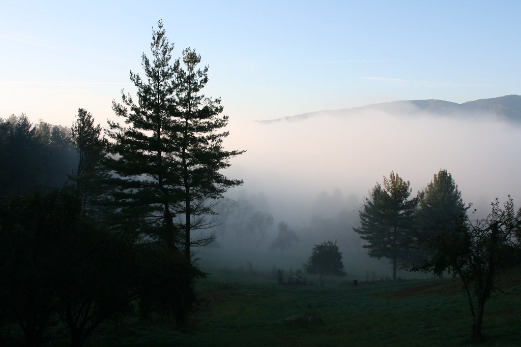
Foggy Mountain Morning
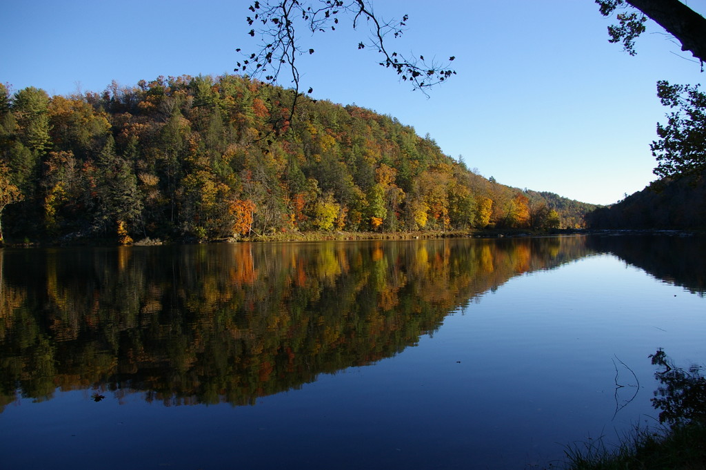
View from our camp
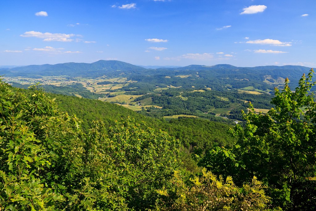
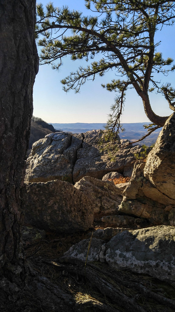
View from Comers Rock
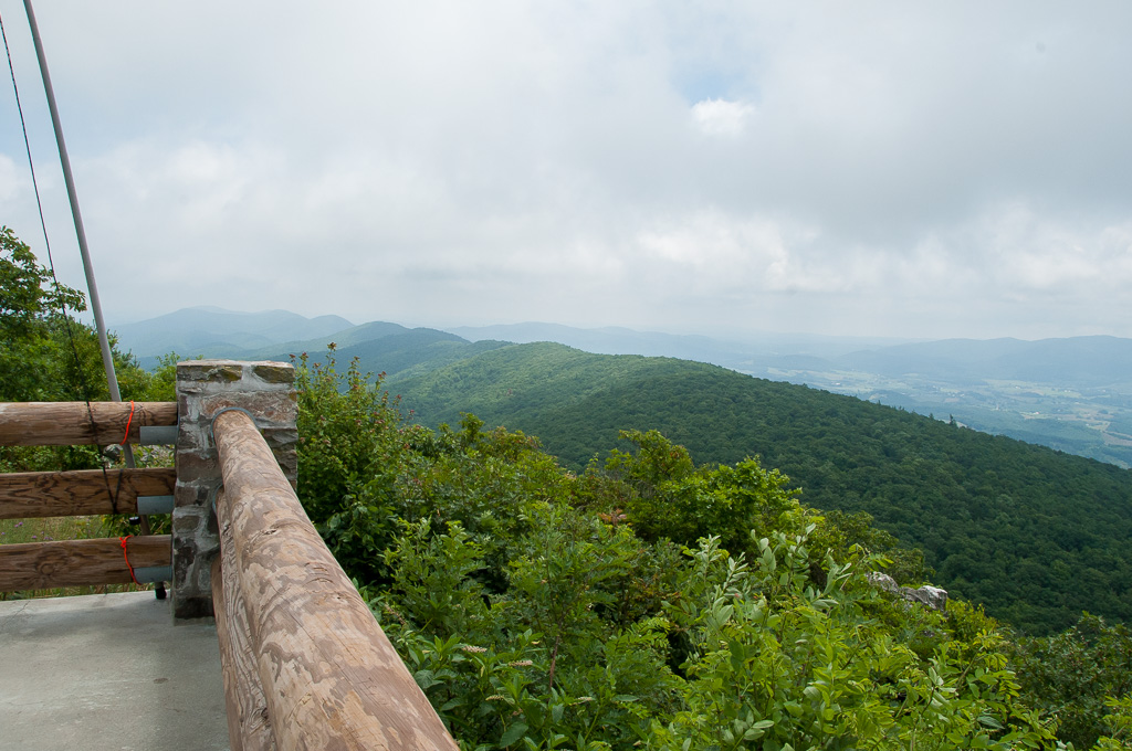
View from W4V/WV-013 - Comers Rock

Hungry Bird

View from the parking lot
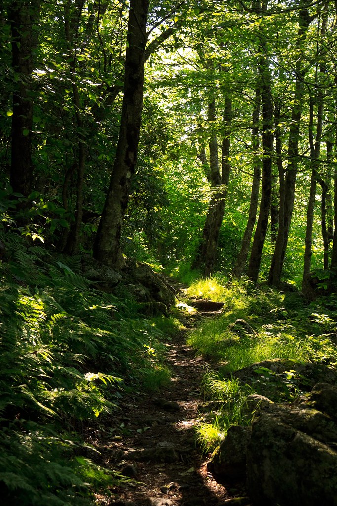
New River Rail/Trail

Winter will not let us escape his grasp
High Rocks Trail, Wytheville VA.
view from park at fries

Hanging at High Rocks. Wytheville VA

View from roof of Bolling Wilson Hotel

View from roof of Bolling Wilson Hotel
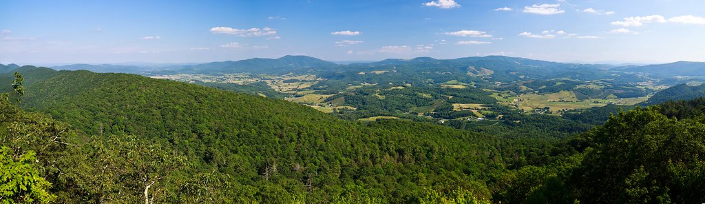
Panoramic View from Comers Rock
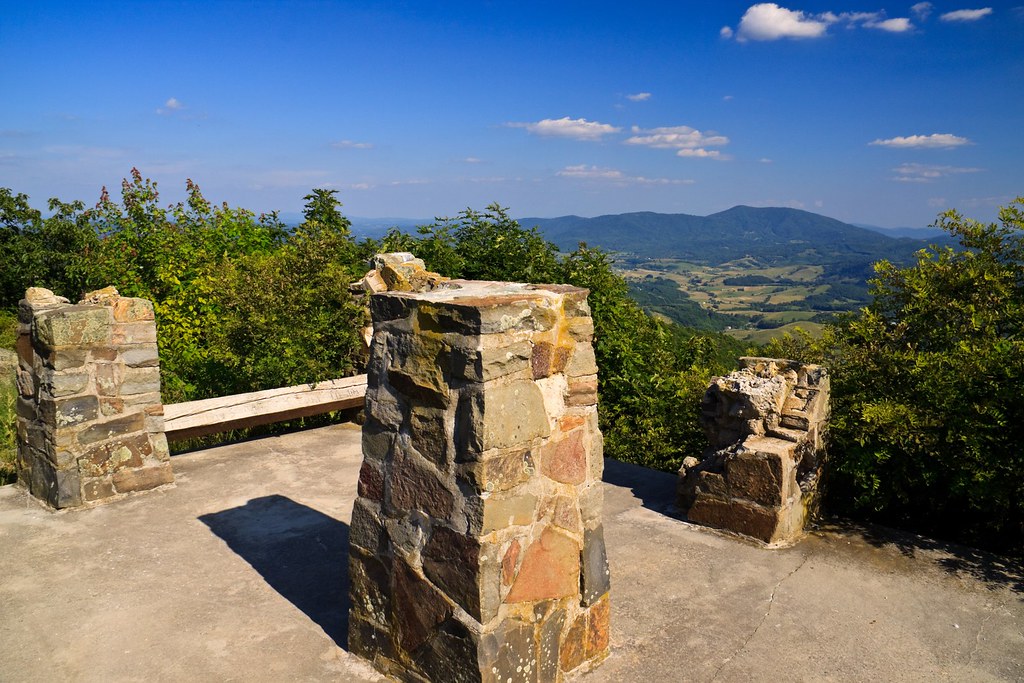
Comers Rock Overlook
Beautiful Chestnut Creek

St. Paul's Lutheran Church
Robert D. Cook 2010 "Walking Home"
Robert D. Cook 2010
Trail to Comers Rock

IMG_2835-Edit.jpg

study in green

Wytheville,VA1
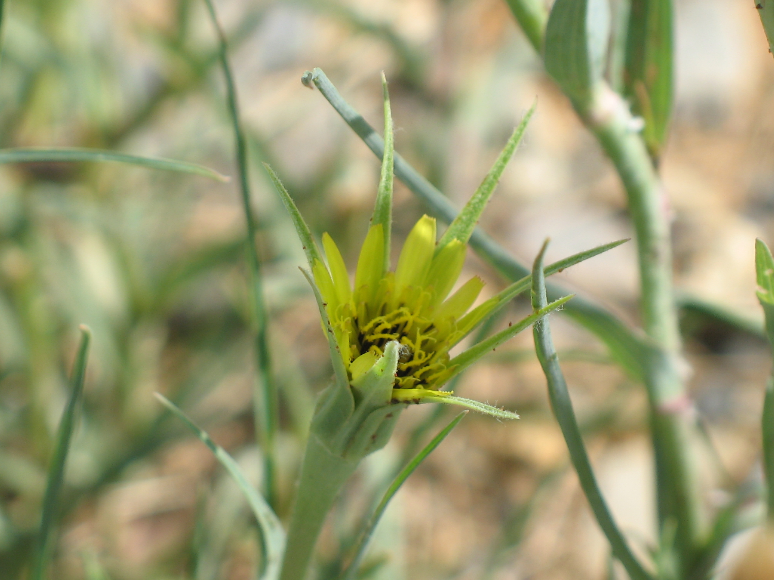
Yellow Goatsbeard - Tragopogon dubius
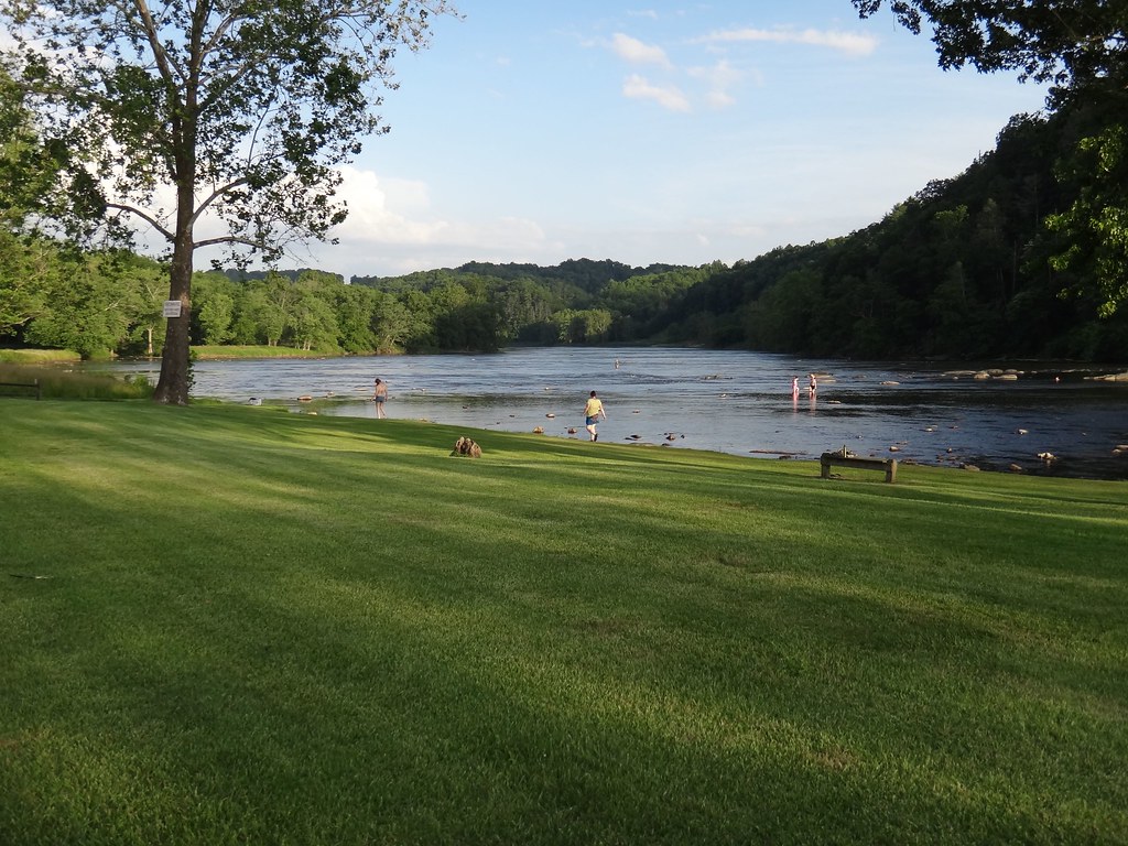
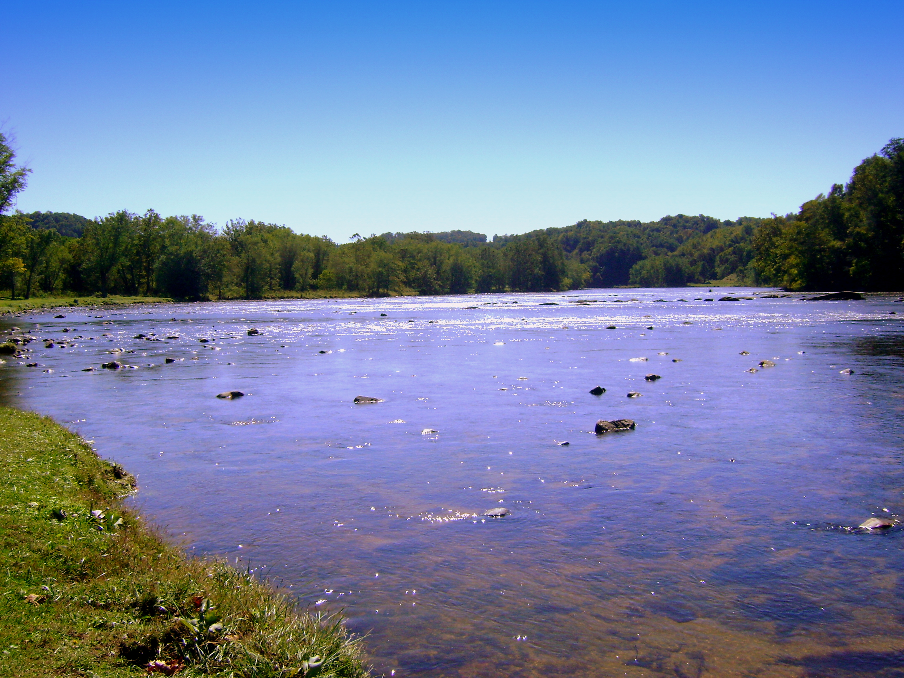
New River State Park in Fries, Virginia

Sunset at Crockett
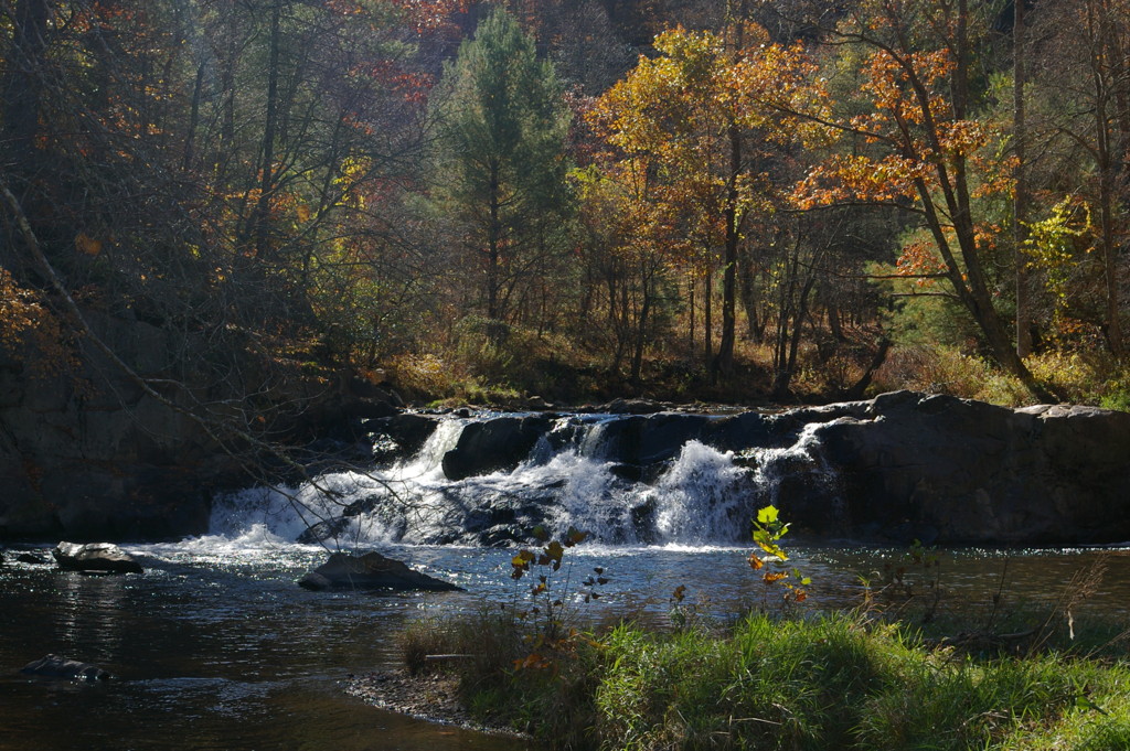
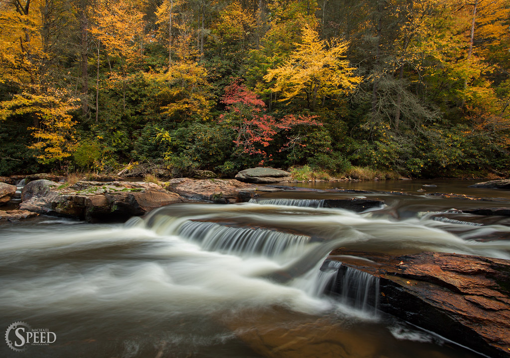
Falls on Chestnut Creek

Wytheville,VA sunset16
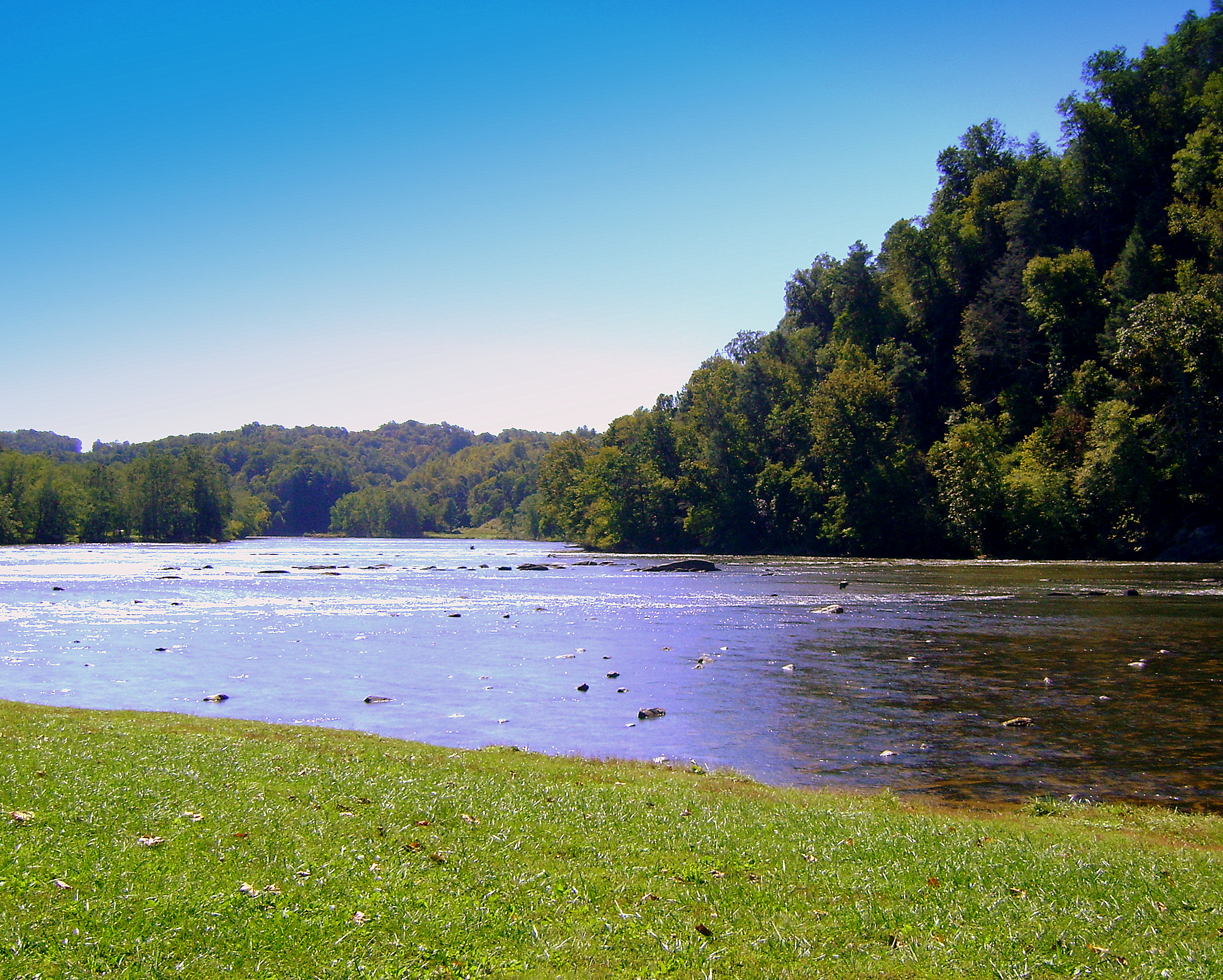
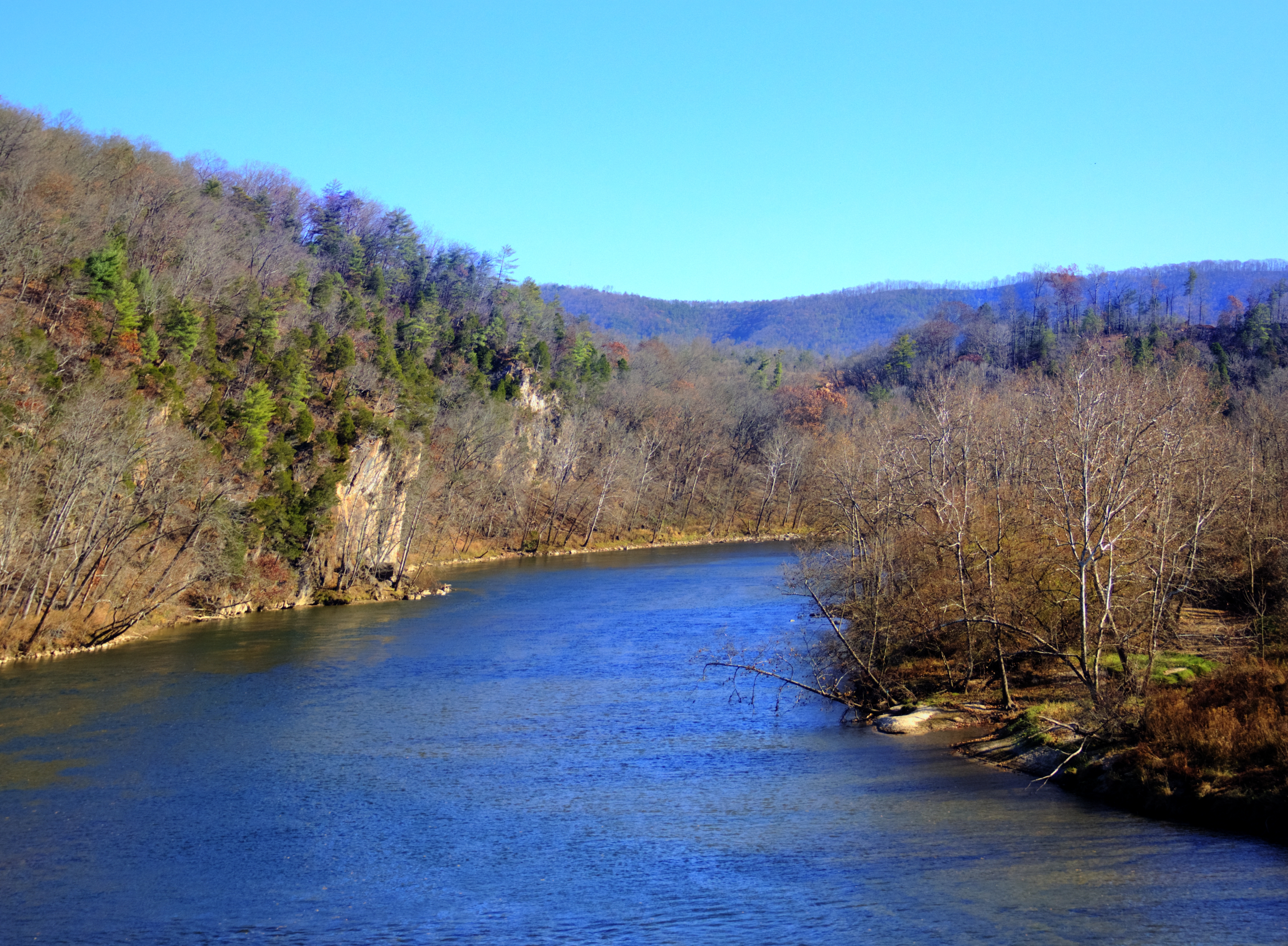
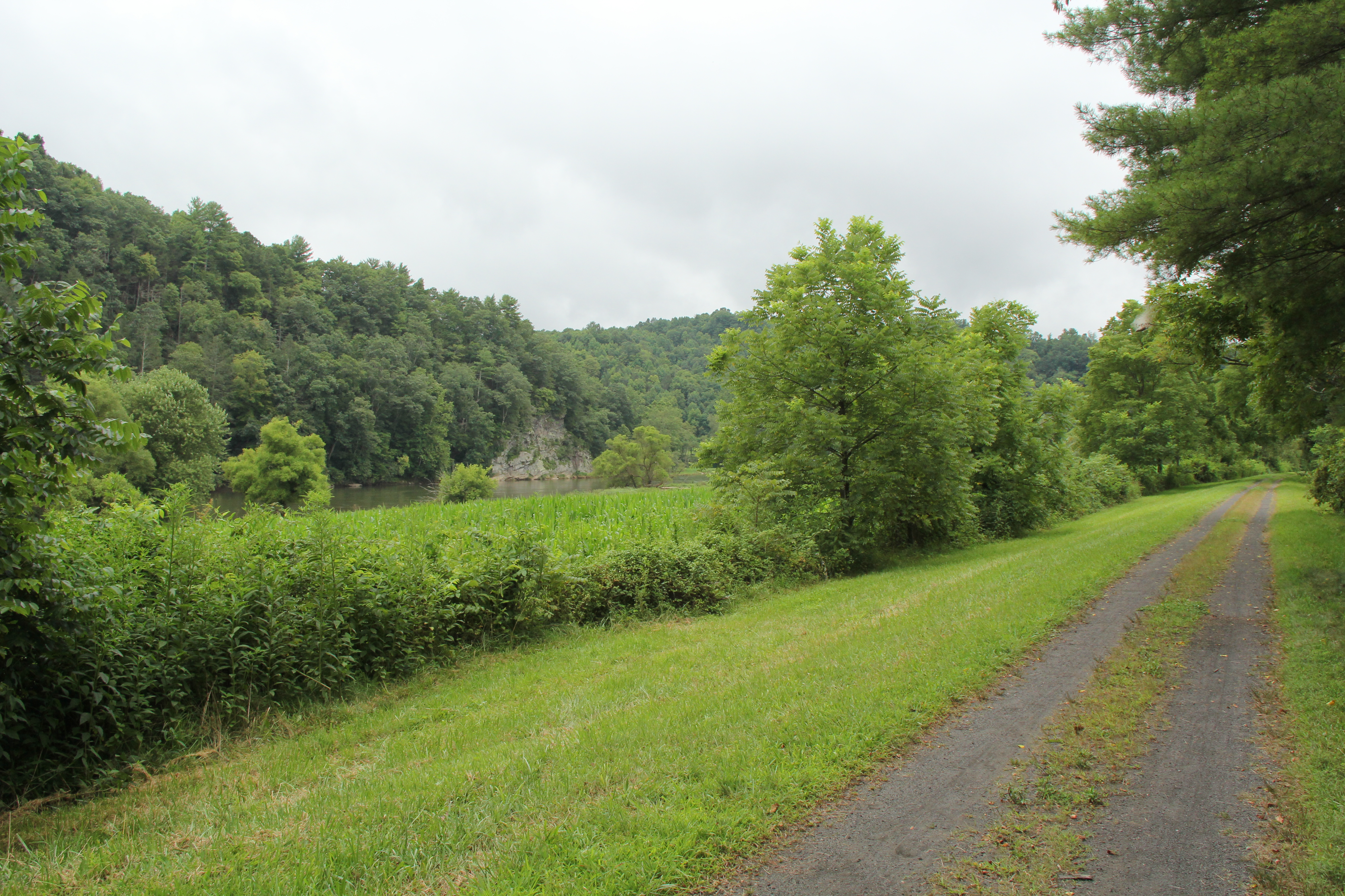
New River, Fries Va, Grayson County

New River State Park in Fries, Virginia
New River, Fries Va, Grayson County
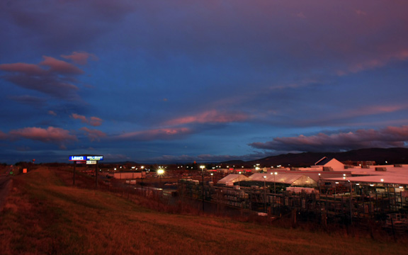
Wytheville,VA sunset17

130716-3453 Wytheville
Topographic Map of Cripple Creek, VA, USA
Find elevation by address:

Places near Cripple Creek, VA, USA:
Speedwell
Iron Mountain Horse Camp
4449 Arrowhead Dr
Mule Hell Road
108 Old Bear Trail
White Tail Lane
3628 Brush Creek Rd
Huddle
571 Old Mountain Rd
Speedwell
Fallville Lane
55 Creek Ln, Elk Creek, VA, USA
534 Fallville Ln
5305 Spring Valley Rd
11 Jackson Lane
Appalachian Mountains
107 Peachtree Ln
7657 Grayson Turnpike
1053 Crockett Rd
Sand Mountain
Recent Searches:
- Elevation of Corso Fratelli Cairoli, 35, Macerata MC, Italy
- Elevation of Tallevast Rd, Sarasota, FL, USA
- Elevation of 4th St E, Sonoma, CA, USA
- Elevation of Black Hollow Rd, Pennsdale, PA, USA
- Elevation of Oakland Ave, Williamsport, PA, USA
- Elevation of Pedrógão Grande, Portugal
- Elevation of Klee Dr, Martinsburg, WV, USA
- Elevation of Via Roma, Pieranica CR, Italy
- Elevation of Tavkvetili Mountain, Georgia
- Elevation of Hartfords Bluff Cir, Mt Pleasant, SC, USA