Elevation of 11 Jackson Lane, Ivanhoe, VA, USA
Location: United States > Virginia > Grayson County > Providence >
Longitude: -81.024551
Latitude: 36.7802642
Elevation: 724m / 2375feet
Barometric Pressure: 93KPa
Elevation Map:
Satellite Map:
Related Photos:

3D Galax Police Car
New River Rail/Trail
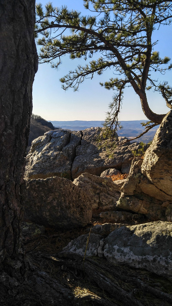
High Rocks Trail, Wytheville VA.
View from our camp
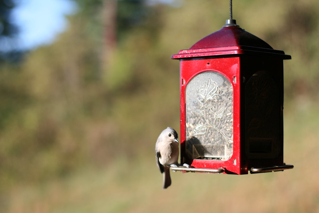
Hungry Bird

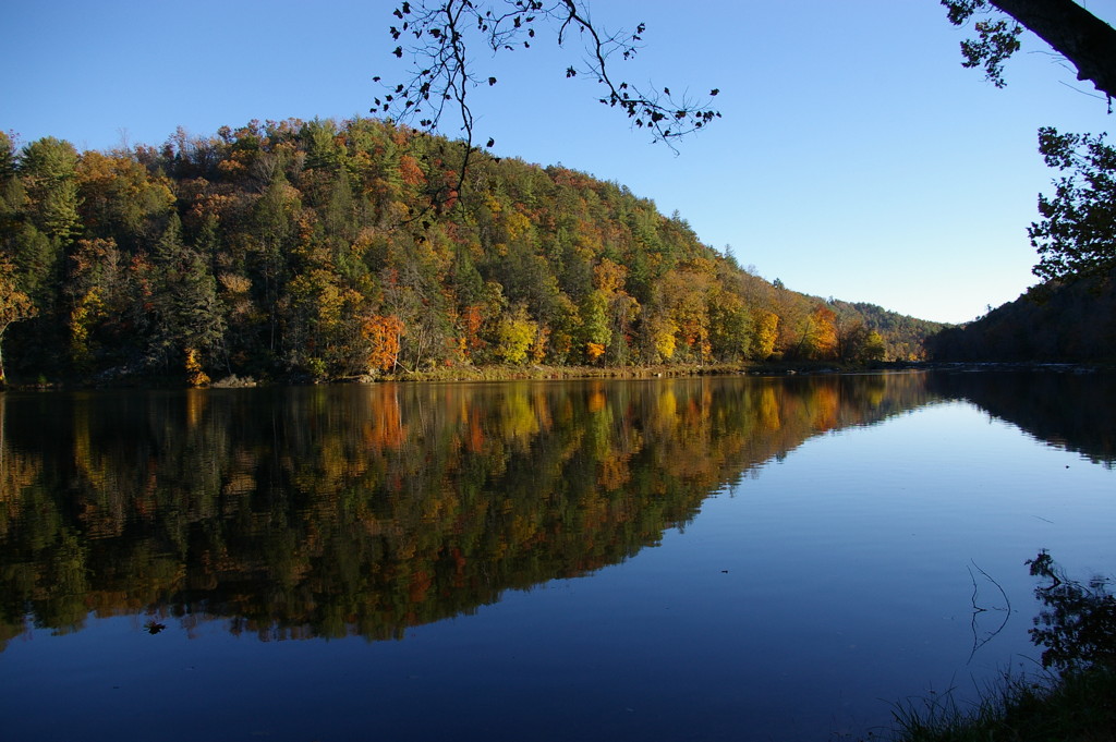
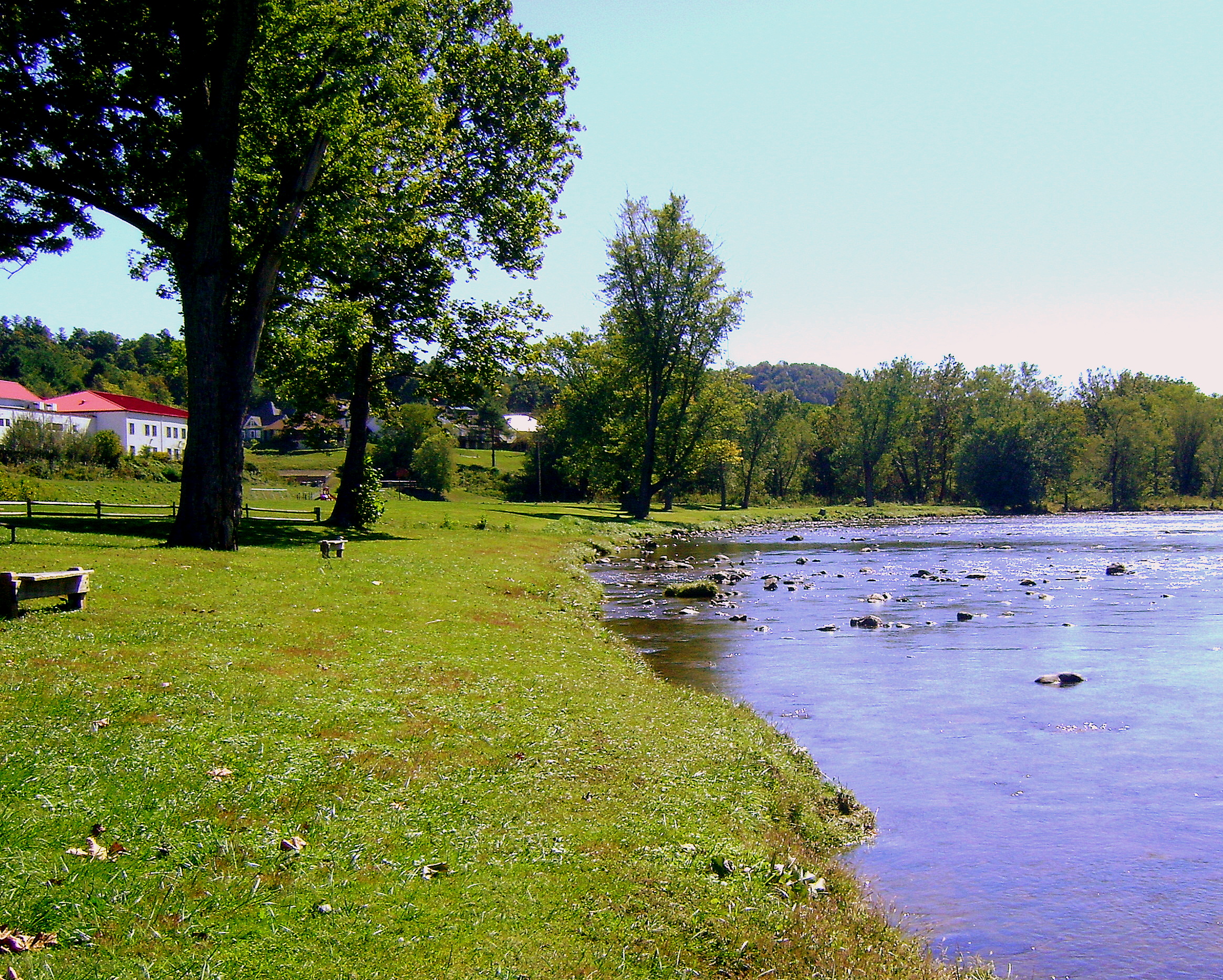
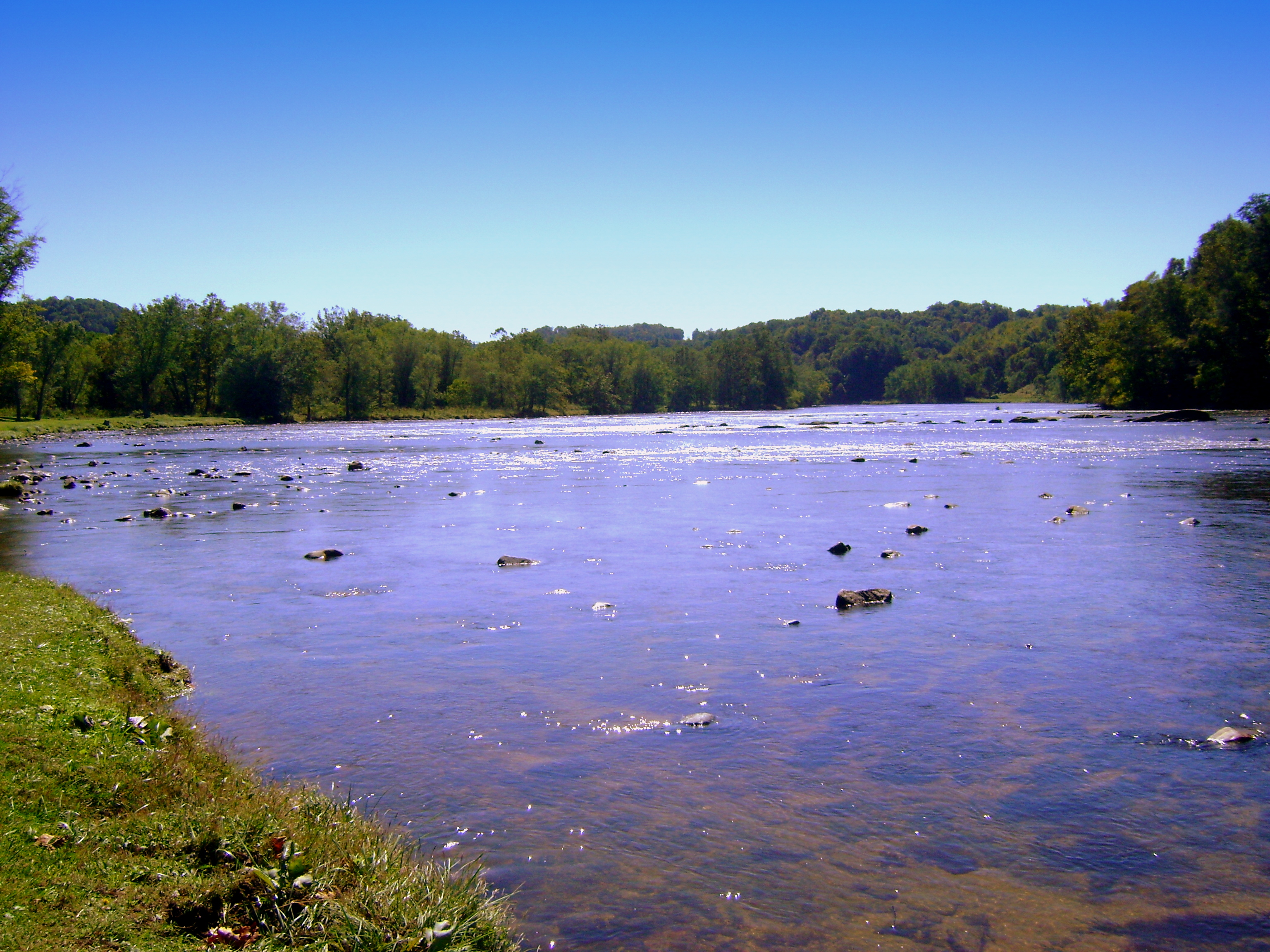
River views house
River views campground

Hanging at High Rocks. Wytheville VA
Beautiful Chestnut Creek
Robert D. Cook 2010 "Walking Home"
Robert D. Cook 2010
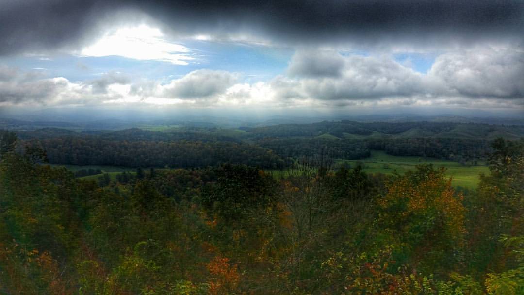
Draper mountain overlook #virginiaisforlovers #virginiabeauty #visitva #swva @visitvirginia @ig_virginia @virginianature #gopro #fall
Galax, VA ... heavy cloud cover, rain rolling in

study in green
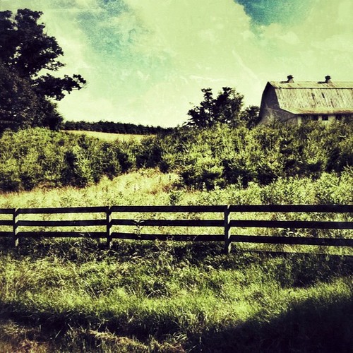
Farm Land
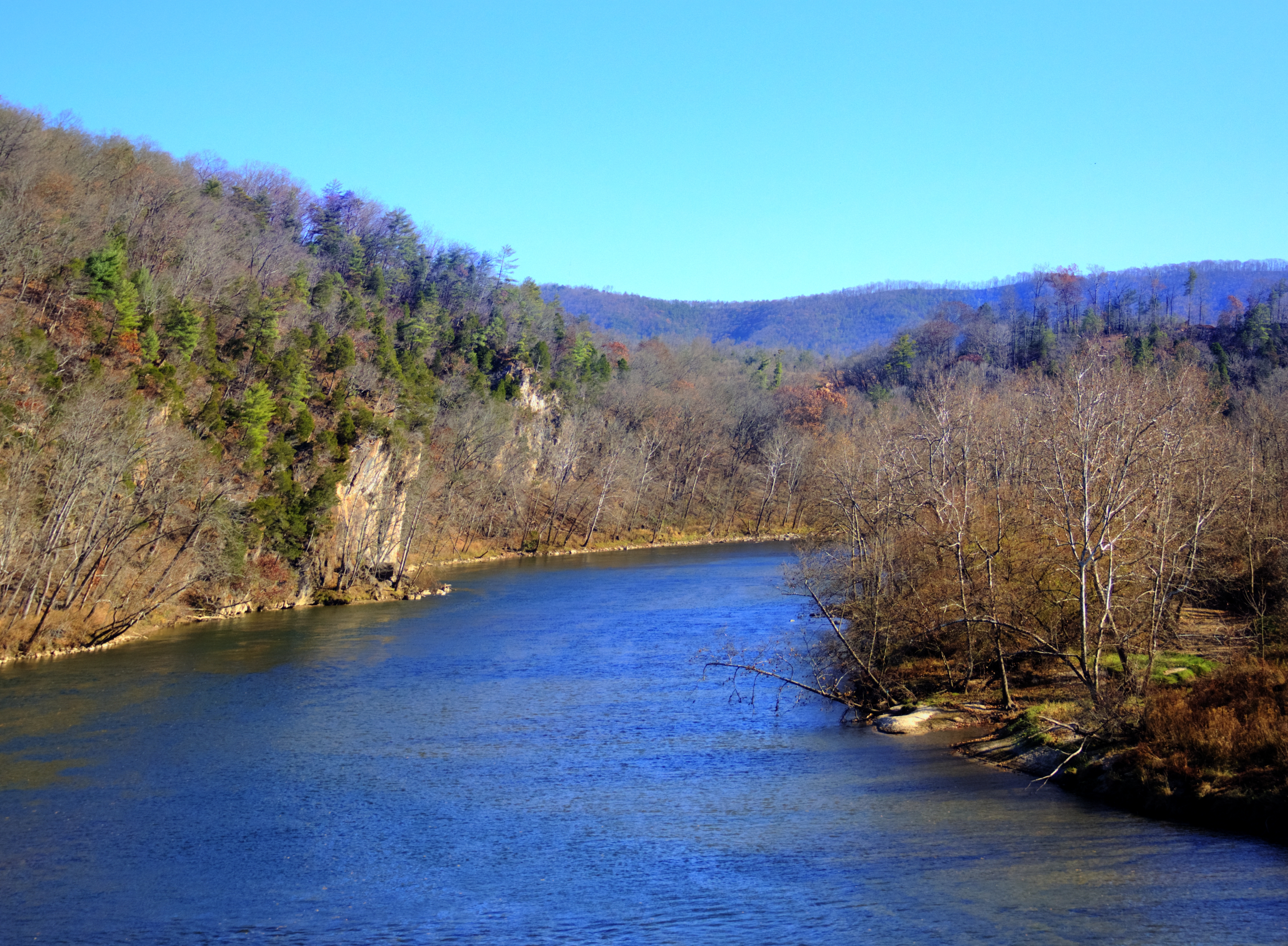
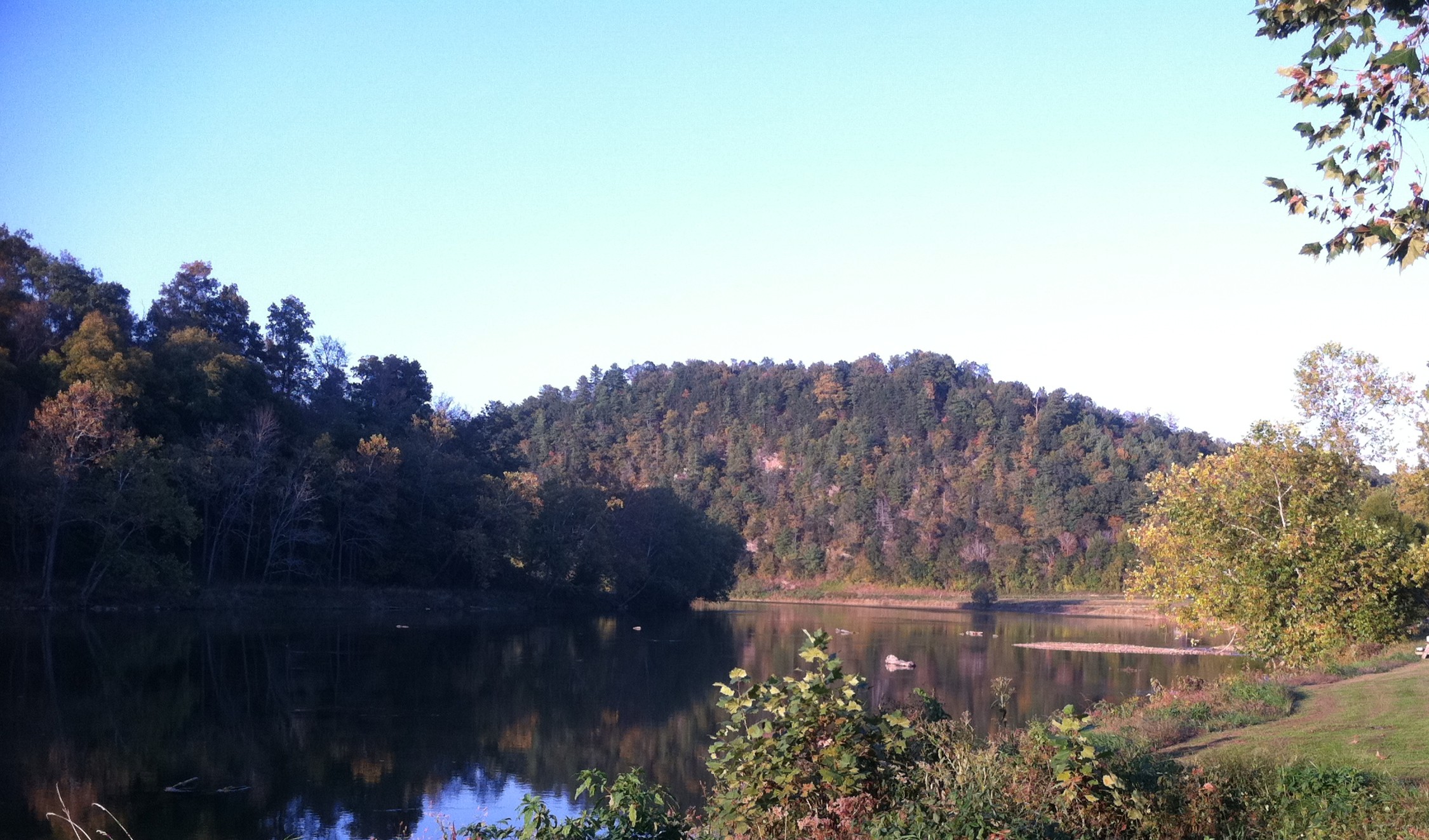
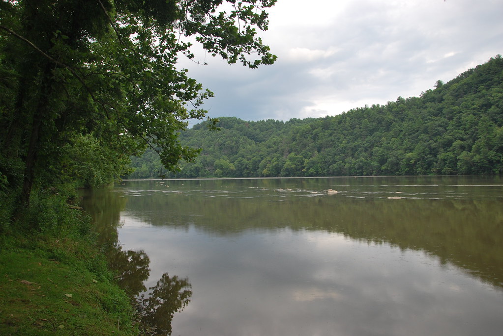
New River, Fries Va, Grayson County
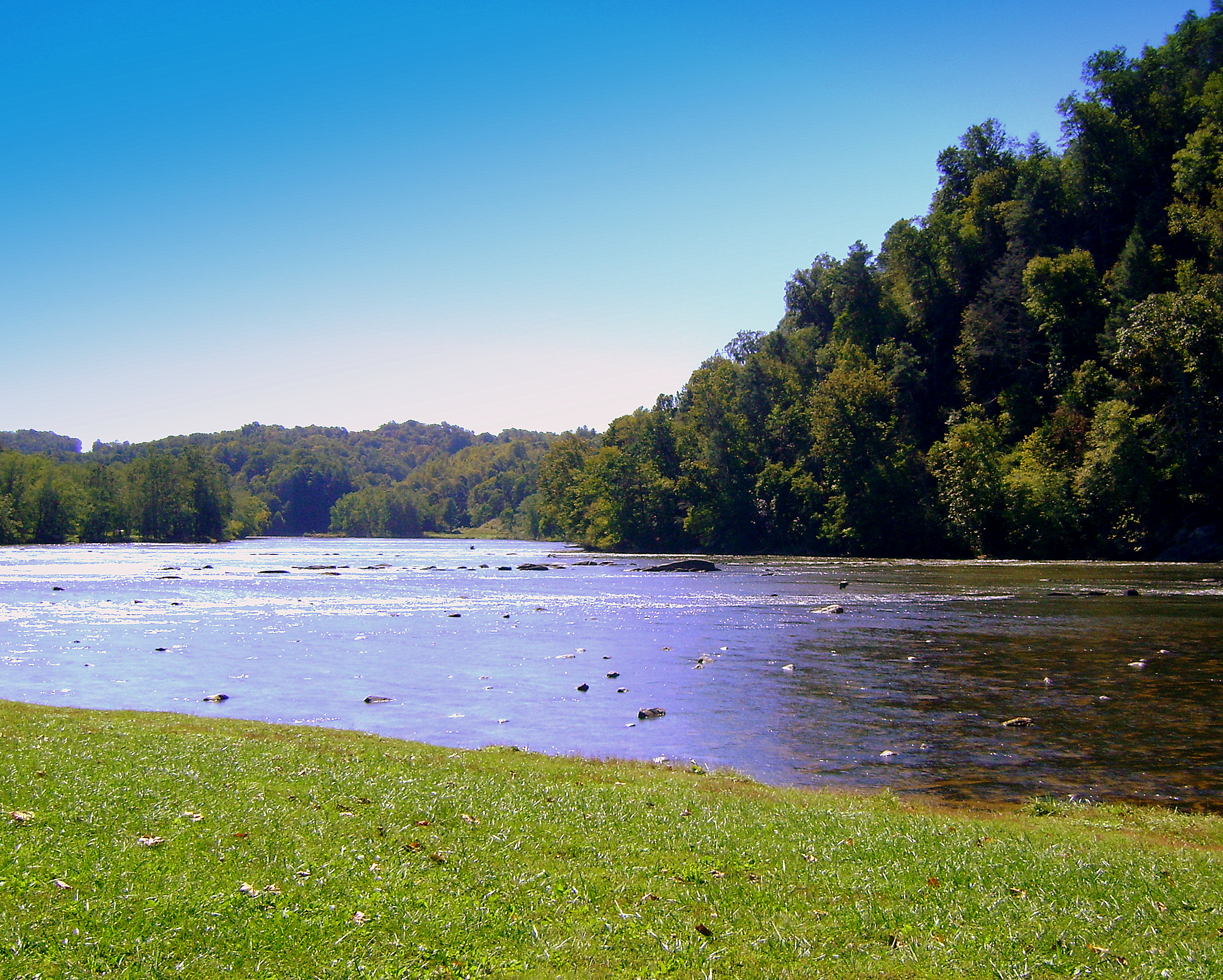
New River, Fries Va, Grayson County

Biking the New River trail
New River State Park in Fries, Virginia
New River, Fries Va, Grayson County

Robert D. Cook 2010
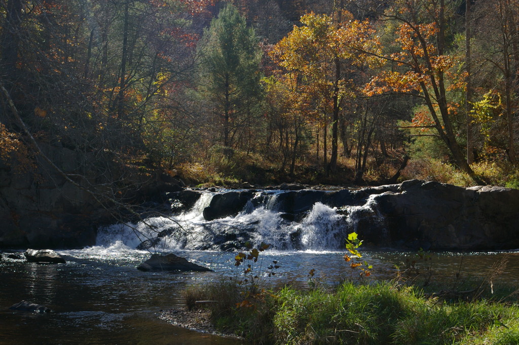
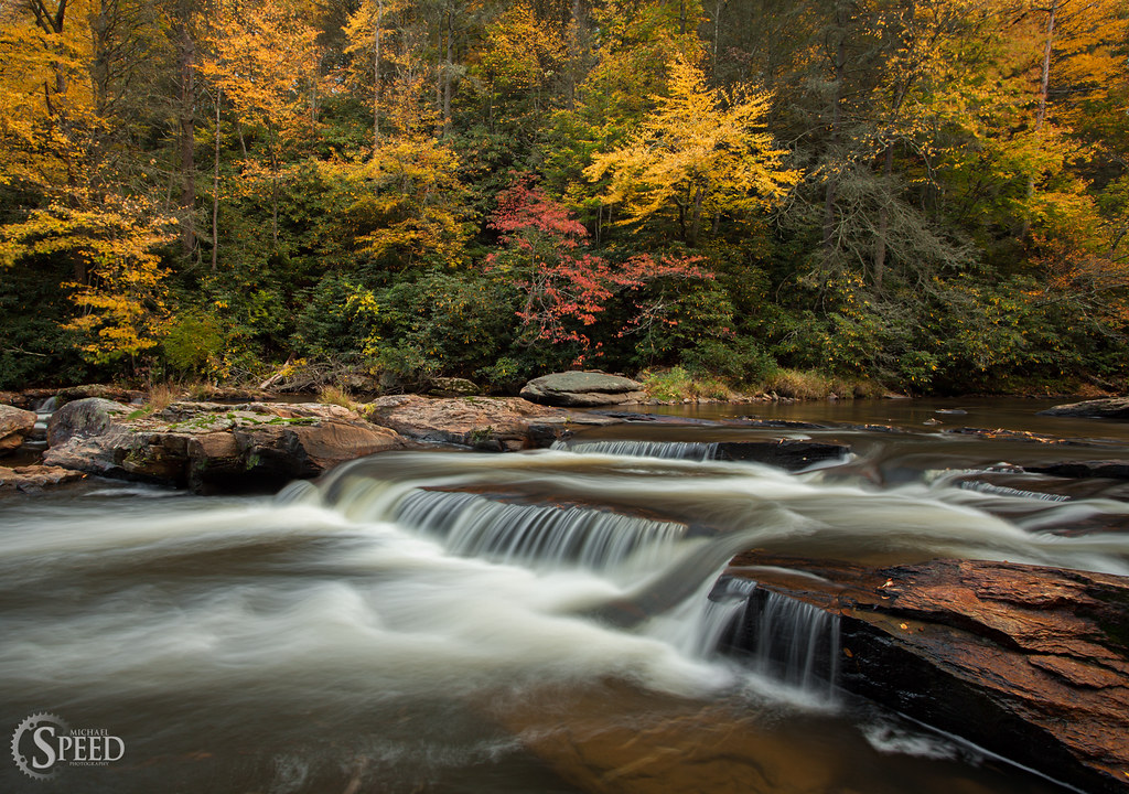
Falls on Chestnut Creek

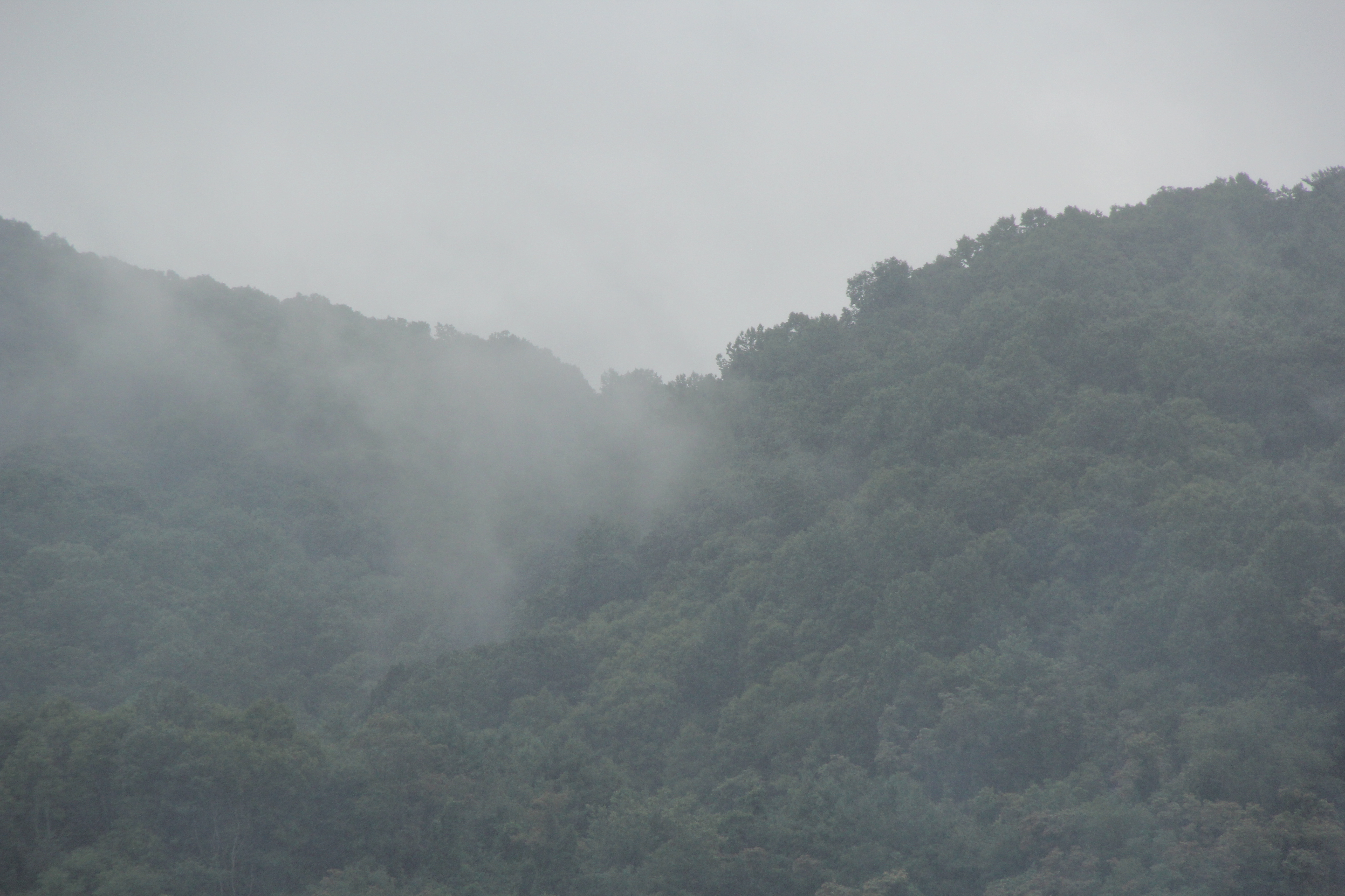
Early morning fog
Buck Dam Reservoir
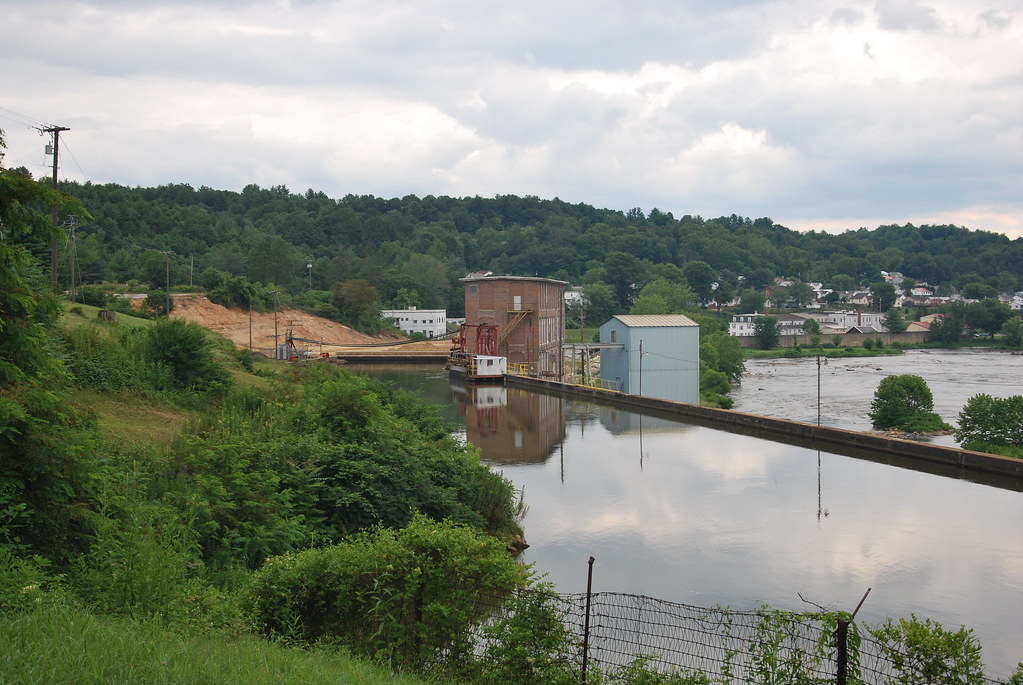
Fries Dam
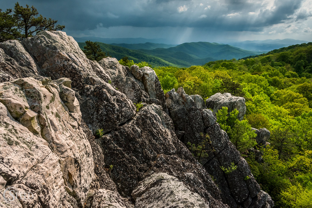
Afternoon Rays on High Rocks
Topographic Map of 11 Jackson Lane, Ivanhoe, VA, USA
Find elevation by address:

Places near 11 Jackson Lane, Ivanhoe, VA, USA:
3628 Brush Creek Rd
Scratch Gravel Road
Scratch Gravel Road
2345 Liberty Hill Rd
Big Brush Creek Road
2569 Liberty Hill Rd
43 Scratch Gravel Rd
1015 Scratch Gravel Rd
1015 Scratch Gravel Rd
1015 Scratch Gravel Rd
1015 Scratch Gravel Rd
1015 Scratch Gravel Rd
1015 Scratch Gravel Rd
1015 Scratch Gravel Rd
108 Old Bear Trail
392 State Rd 868
392 State Rd 868
1190 Liberty Hill Rd
4449 Arrowhead Dr
Iron Mountain Horse Camp
Recent Searches:
- Elevation of Corso Fratelli Cairoli, 35, Macerata MC, Italy
- Elevation of Tallevast Rd, Sarasota, FL, USA
- Elevation of 4th St E, Sonoma, CA, USA
- Elevation of Black Hollow Rd, Pennsdale, PA, USA
- Elevation of Oakland Ave, Williamsport, PA, USA
- Elevation of Pedrógão Grande, Portugal
- Elevation of Klee Dr, Martinsburg, WV, USA
- Elevation of Via Roma, Pieranica CR, Italy
- Elevation of Tavkvetili Mountain, Georgia
- Elevation of Hartfords Bluff Cir, Mt Pleasant, SC, USA