Elevation of Timberland Dr, Wytheville, VA, USA
Location: United States > Virginia > Wythe County > Wytheville >
Longitude: -80.9957989
Latitude: 36.8978788
Elevation: 718m / 2356feet
Barometric Pressure: 0KPa
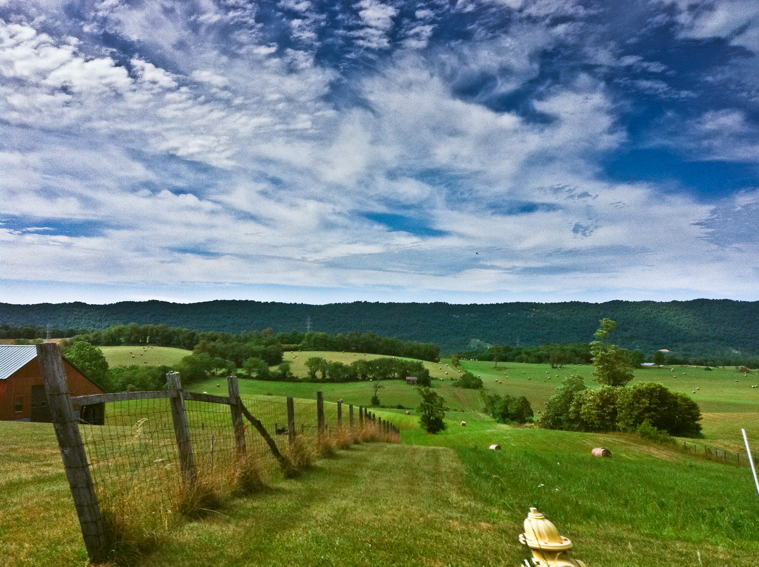
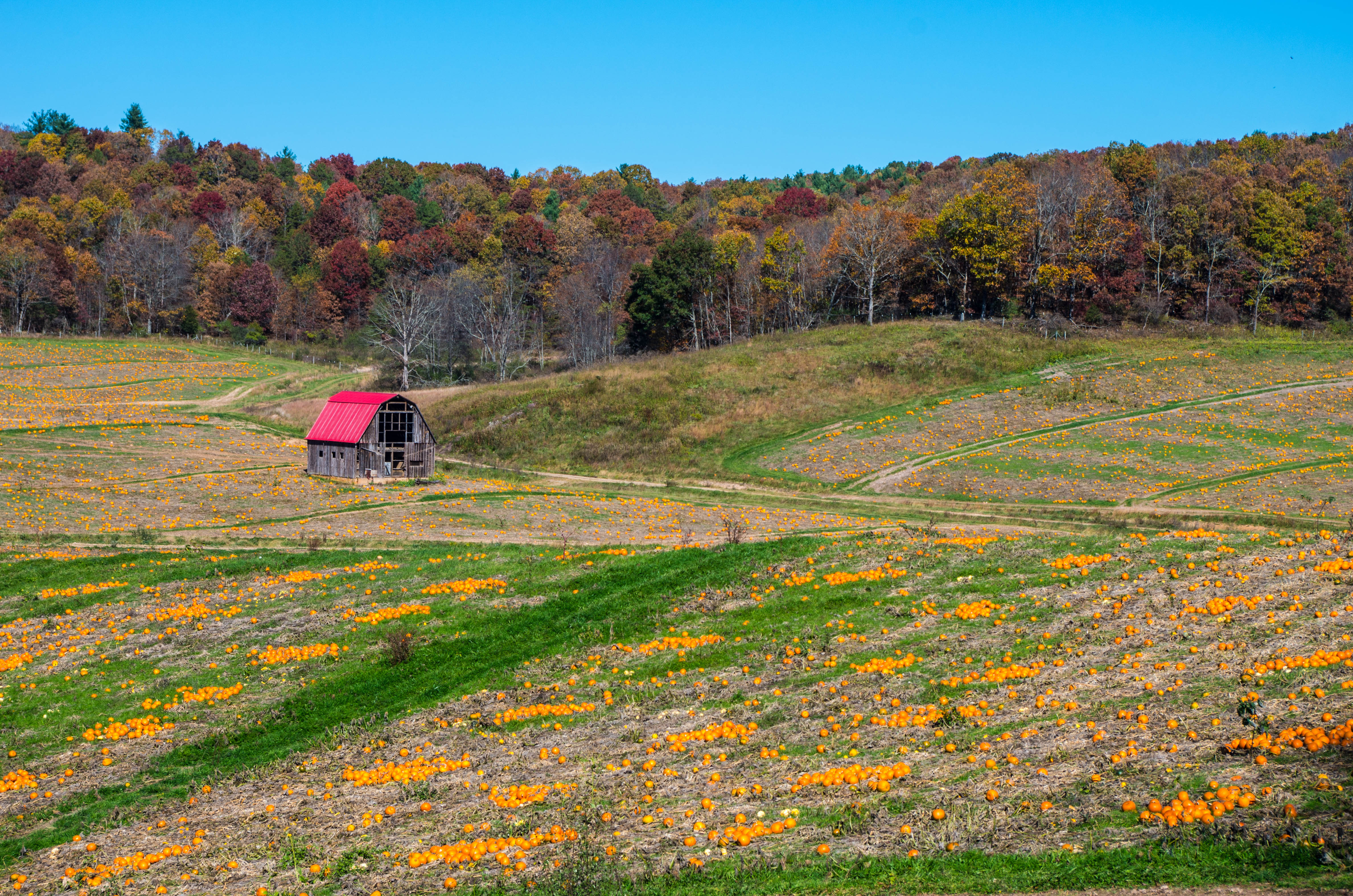
Related Photos:
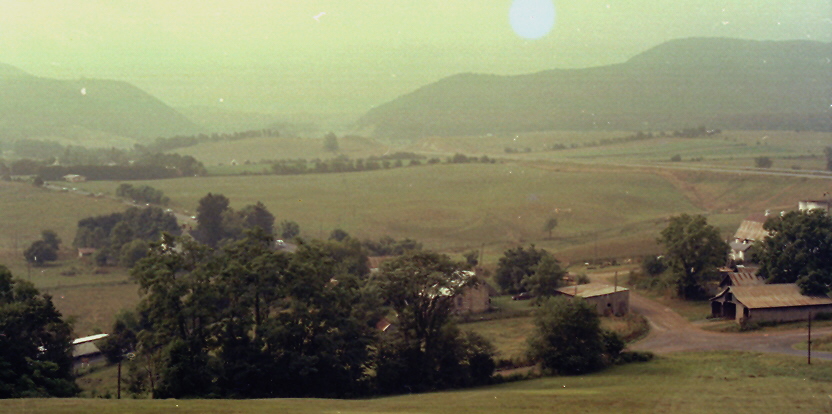
Shot Tower Historical State Park, Wythe County (Va.), 4 August 1978
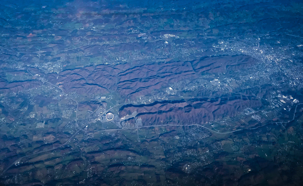
Aerial view of Virginia Tech University Lane Stadium and Shenandoah Valley - Blacksburg VA
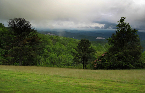
Blue Ridge Parkway View
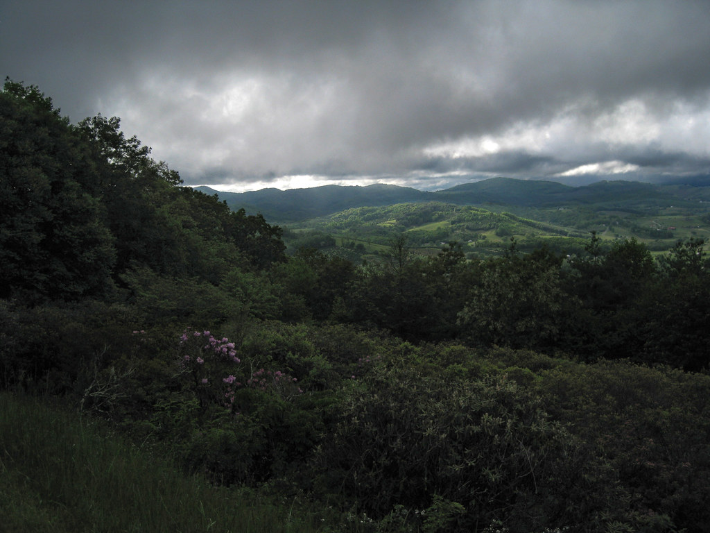
Blue Ridge Parkway View
#travel #wanderlust #trip #vacation #travelgram #holiday #instatravel #beautiful #travelling #instagood #vsco #photooftheday #tourism #usa #picoftheday #travelphotography #roadtrip #vscocam #view #traveling #summer #road #explore #driving #ontheroad #amer
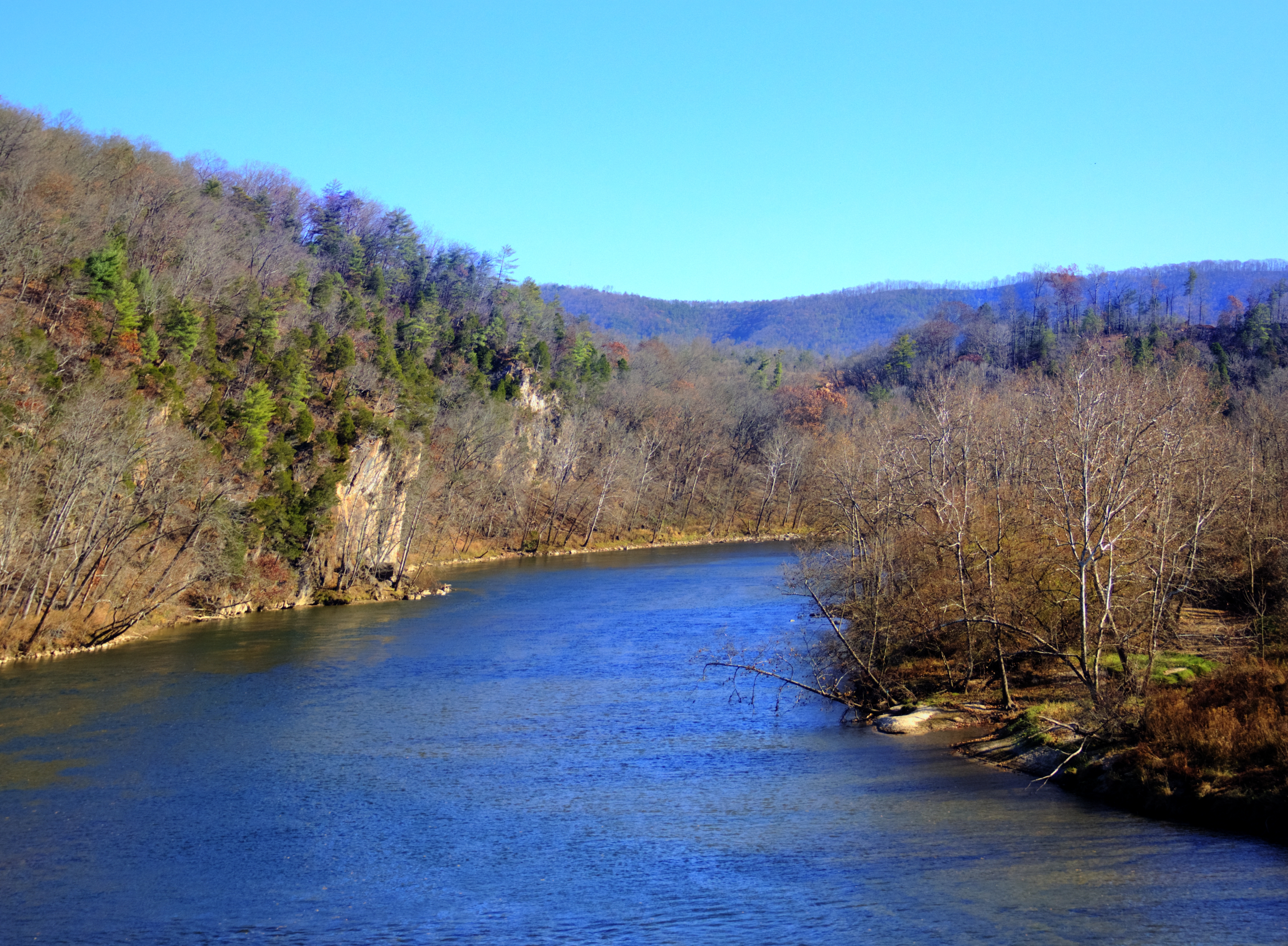
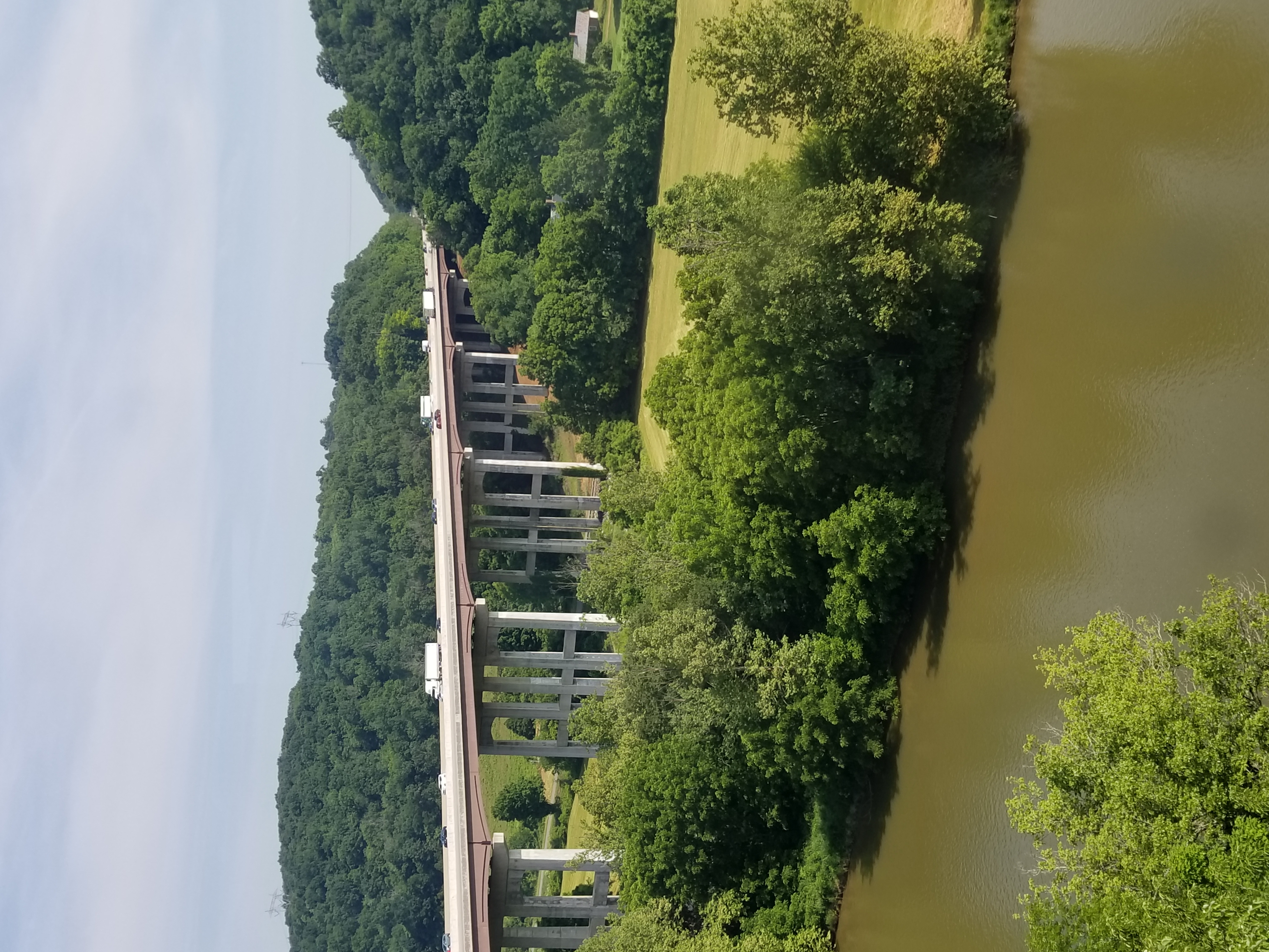
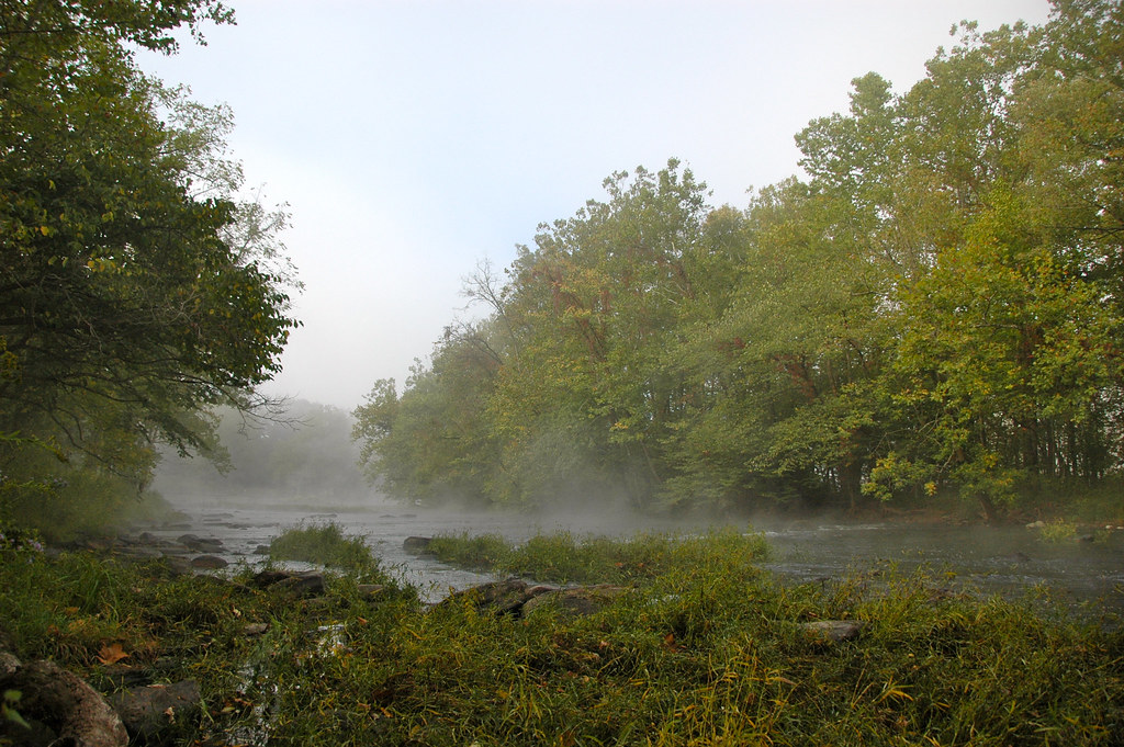
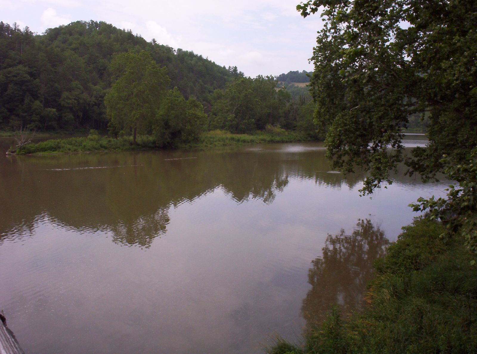
New River Rail/Trail
View from our camp

View from the parking lot

"Key Ingredients" restaurant, Max Meadows, VA
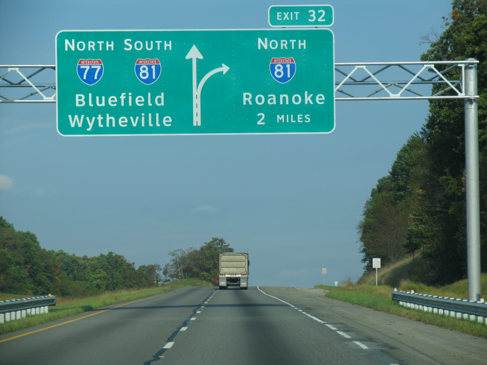
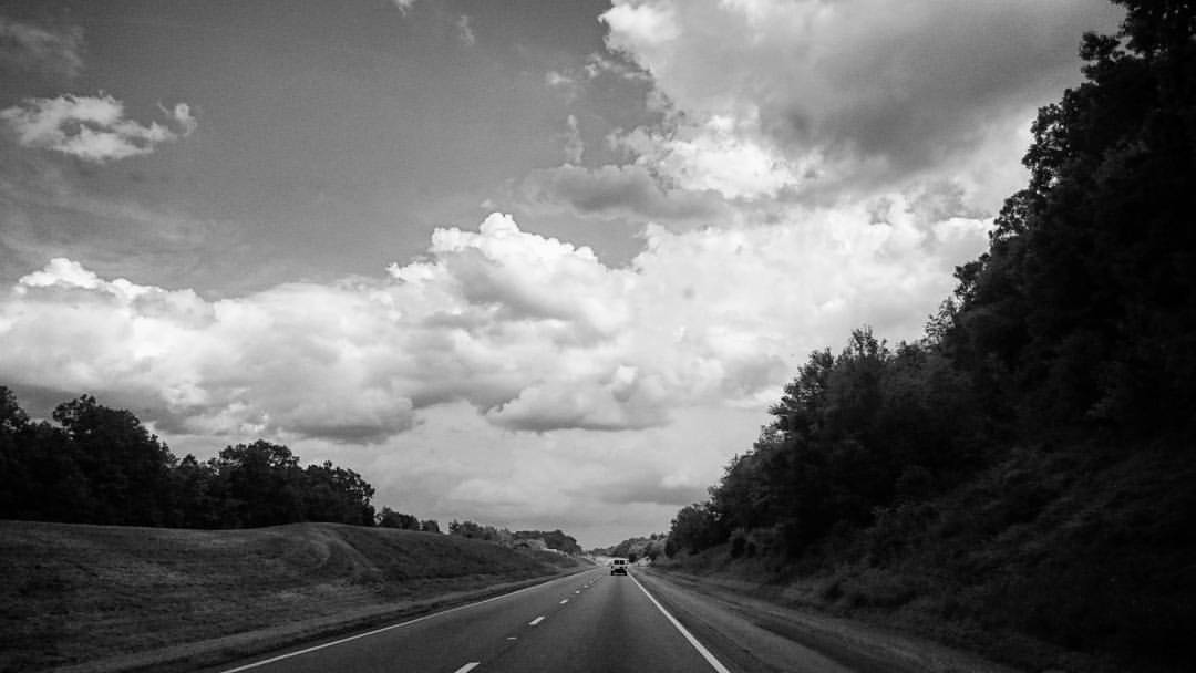
I-77 North Virginia - Exit 32
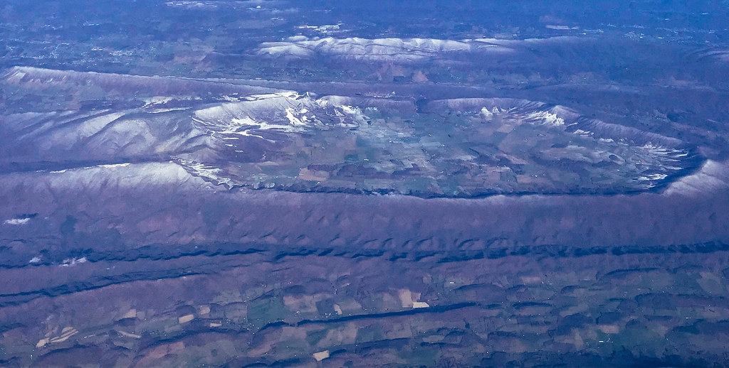
Aerial view of Blue Ridge Mountains and Shenandoah Valley near Blacksburg VA

Thanks so much for all the views and subscribers!
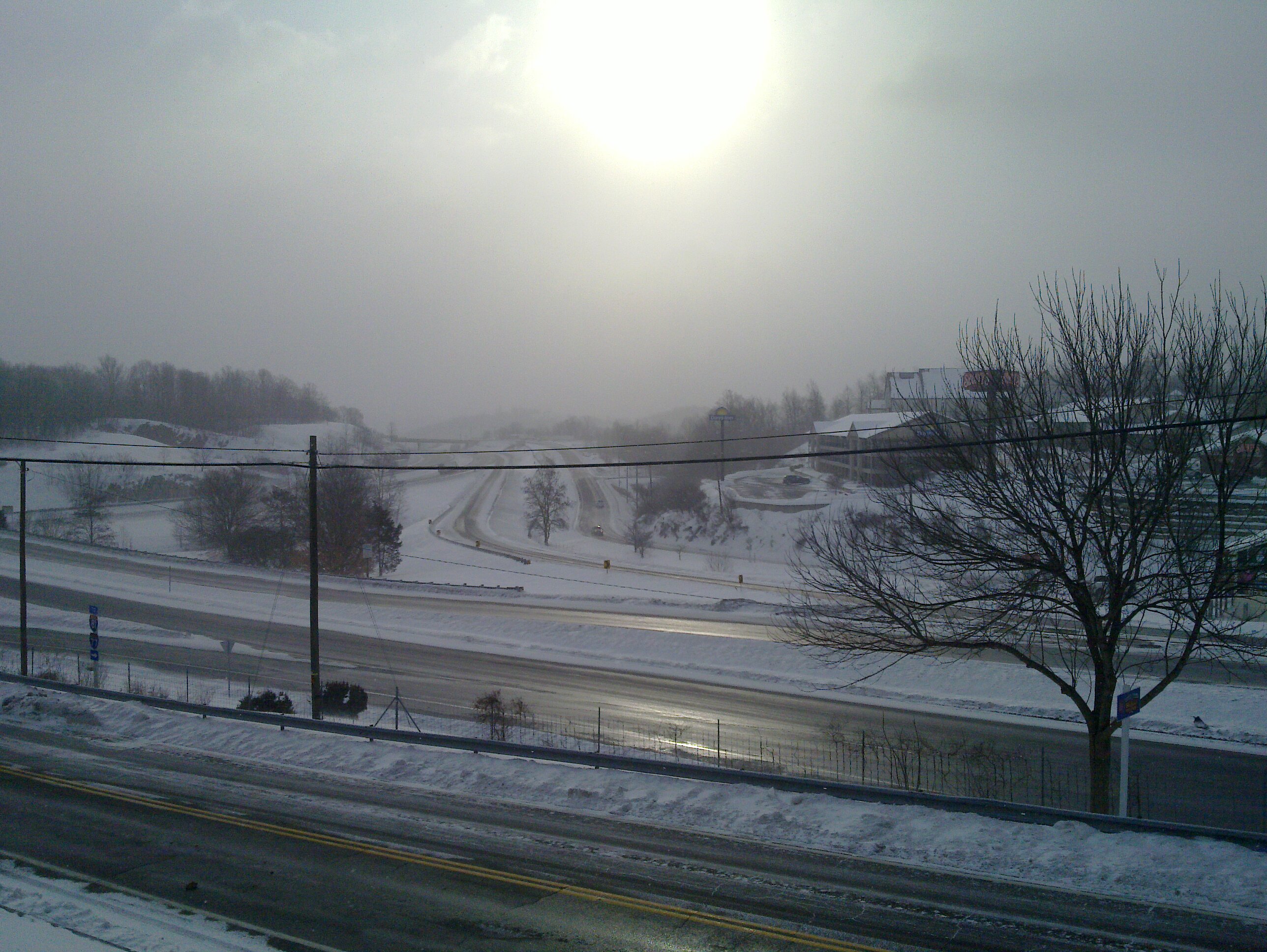
Winter will not let us escape his grasp
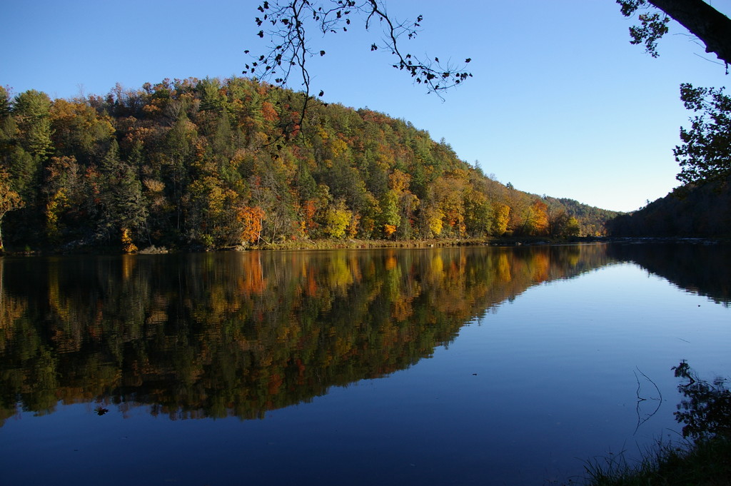
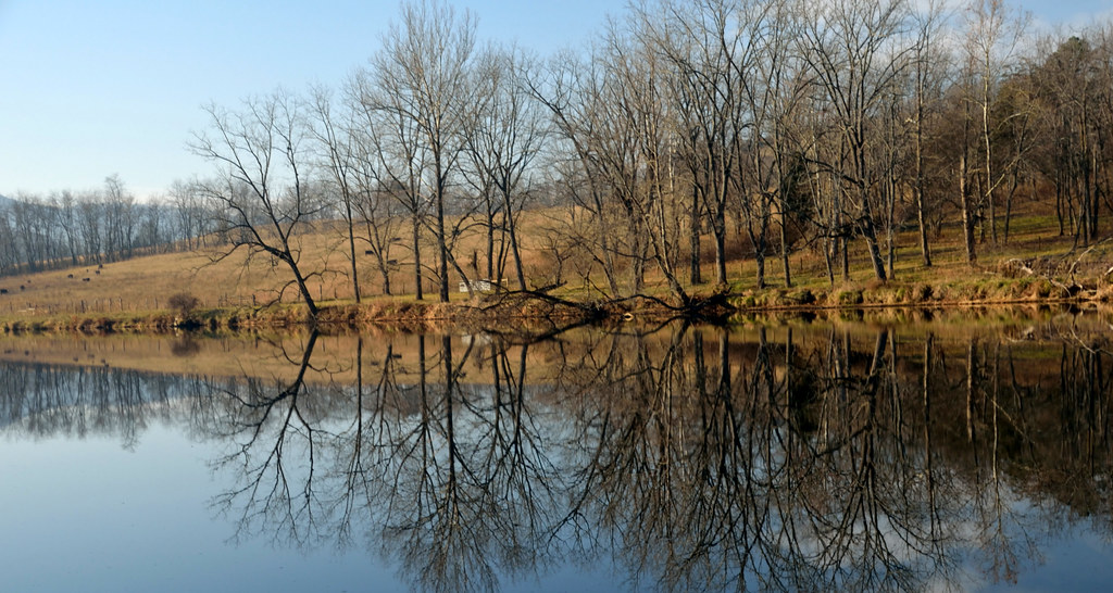
New River Trail State Park
New River Trail State Park

View from roof of Bolling Wilson Hotel

Robert D. Cook 2010 "Walking Home"
morning at foster falls

IMG_2835-Edit.jpg
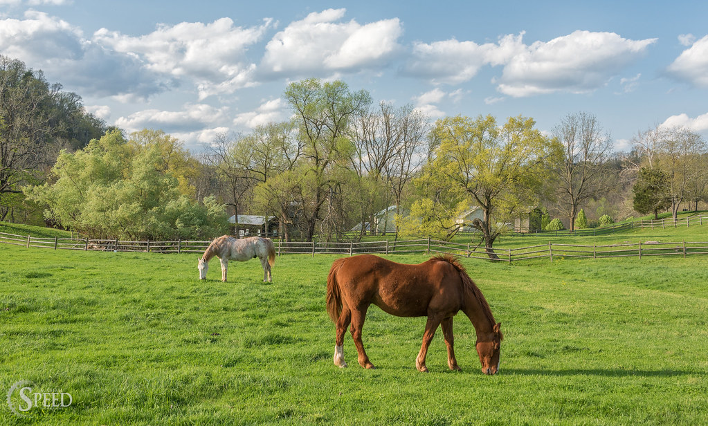
Springtime at Foster Falls Horse Livery
Robert D. Cook 2010
10-NewRiverFosterFalls
From my Window

Spring is springing on the New River Trail.

Wytheville,VA sunset16
Wytheville,VA sunset17
IMGP8023.jpg
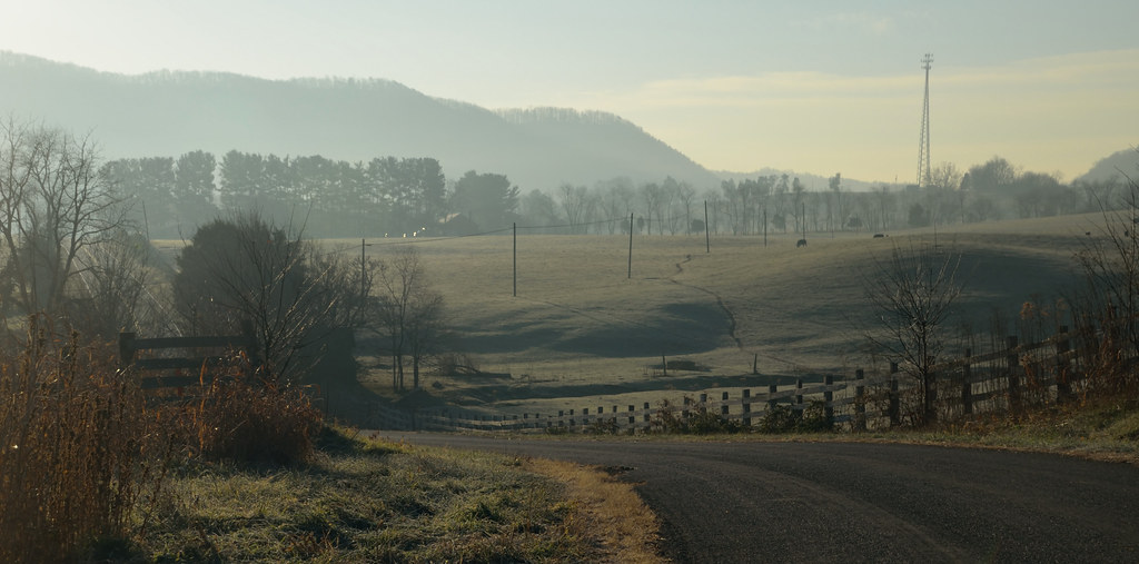
2-FrostyMorningNearShotTower
New River Trail 011
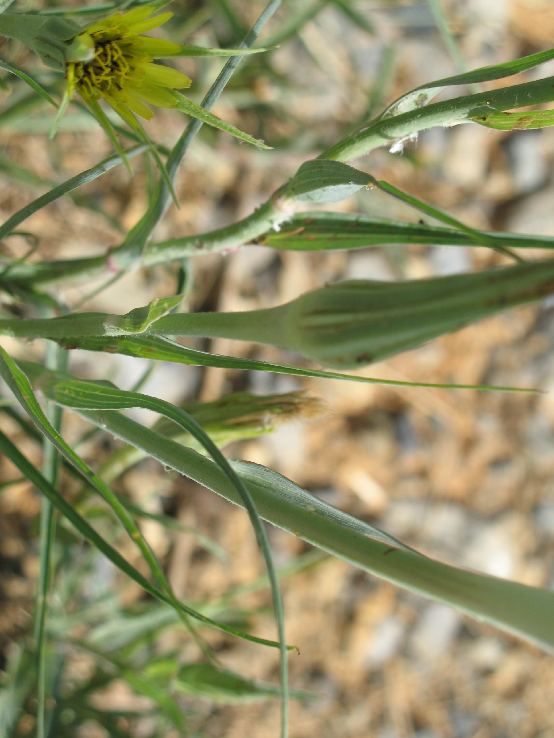
Yellow Goatsbeard - Tragopogon dubius

Biking the New River trail
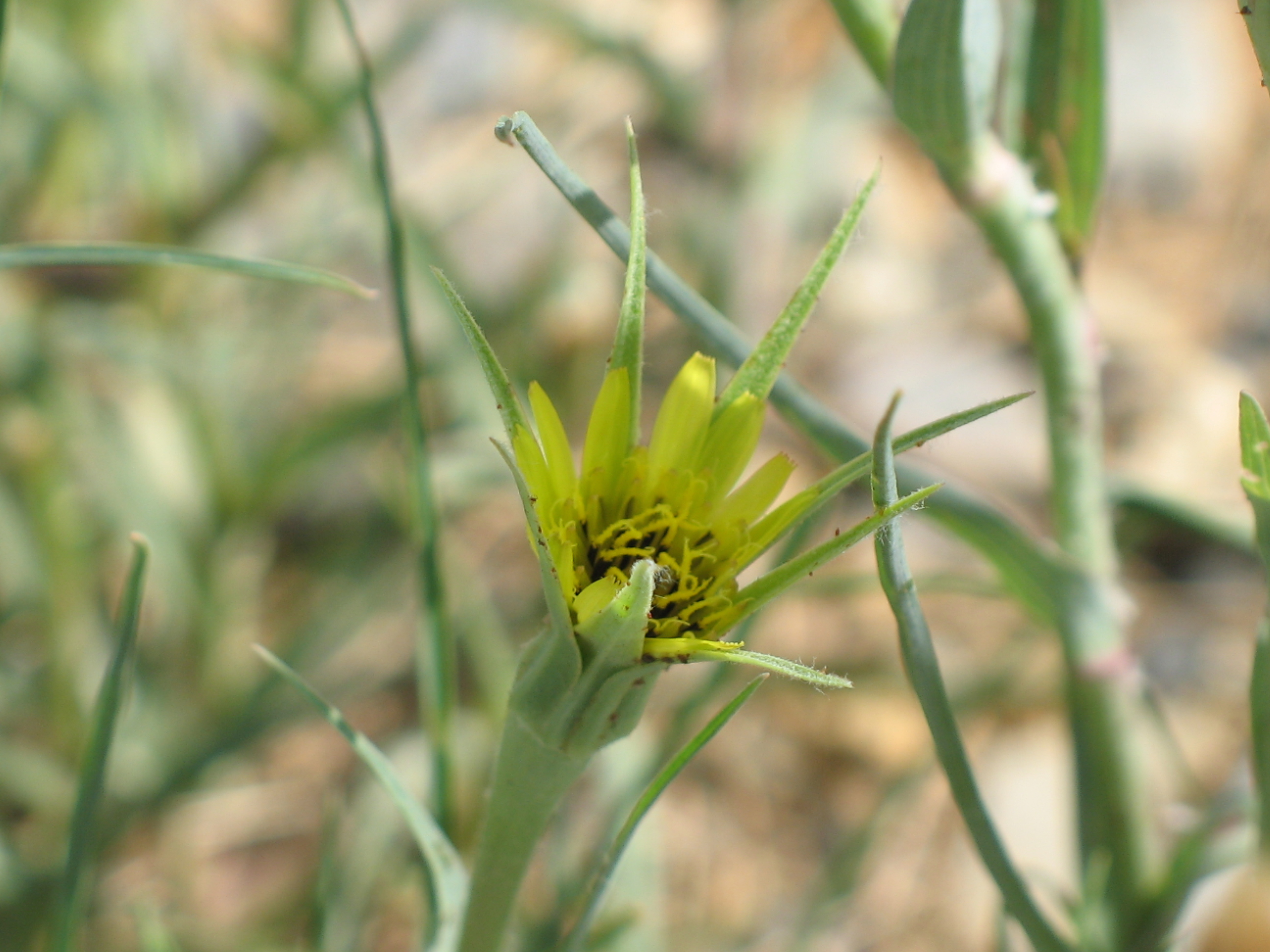
Yellow Goatsbeard - Tragopogon dubius
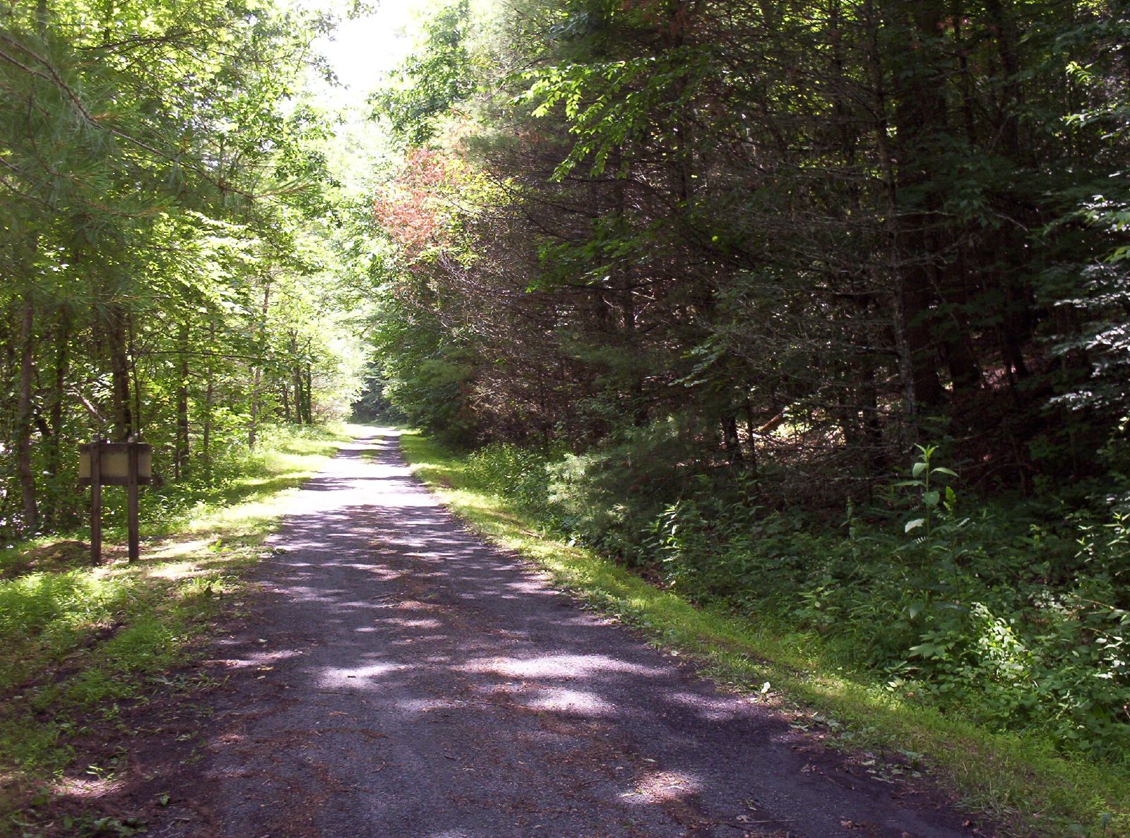
New River Trail 025

iPhone 4S
Topographic Map of Timberland Dr, Wytheville, VA, USA
Find elevation by address:

Places near Timberland Dr, Wytheville, VA, USA:
295 Sheffey School Rd
Sheffey School Road
2614 Ivanhoe Rd
276-282
297 Bentwood Dr
114 Rickey Rd
138 Gingerbread Ln
3639 Ivanhoe Rd
3669 Ivanhoe Rd
1145 Walton Furnace Rd
1145 Walton Furnace Rd
2019 Pope Rd
Austinville Road
2011 Rickey Rd
Huddle
Ivanhoe
546 Riverview Rd
Sand Mountain
Mule Hell Road
Appalachian Mountains
Recent Searches:
- Elevation of 2881, Chabot Drive, San Bruno, San Mateo County, California, 94066, USA
- Elevation of 10370, West 107th Circle, Westminster, Jefferson County, Colorado, 80021, USA
- Elevation of 611, Roman Road, Old Ford, Bow, London, England, E3 2RW, United Kingdom
- Elevation of 116, Beartown Road, Underhill, Chittenden County, Vermont, 05489, USA
- Elevation of Window Rock, Colfax County, New Mexico, 87714, USA
- Elevation of 4807, Rosecroft Street, Kempsville Gardens, Virginia Beach, Virginia, 23464, USA
- Elevation map of Matawinie, Quebec, Canada
- Elevation of Sainte-Émélie-de-l'Énergie, Matawinie, Quebec, Canada
- Elevation of Rue du Pont, Sainte-Émélie-de-l'Énergie, Matawinie, Quebec, J0K2K0, Canada
- Elevation of 8, Rue de Bécancour, Blainville, Thérèse-De Blainville, Quebec, J7B1N2, Canada
- Elevation of Wilmot Court North, 163, University Avenue West, Northdale, Waterloo, Region of Waterloo, Ontario, N2L6B6, Canada
- Elevation map of Panamá Province, Panama
- Elevation of Balboa, Panamá Province, Panama
- Elevation of San Miguel, Balboa, Panamá Province, Panama
- Elevation of Isla Gibraleón, San Miguel, Balboa, Panamá Province, Panama
- Elevation of 4655, Krischke Road, Schulenburg, Fayette County, Texas, 78956, USA
- Elevation of Carnegie Avenue, Downtown Cleveland, Cleveland, Cuyahoga County, Ohio, 44115, USA
- Elevation of Walhonding, Coshocton County, Ohio, USA
- Elevation of Clifton Down, Clifton, Bristol, City of Bristol, England, BS8 3HU, United Kingdom
- Elevation map of Auvergne-Rhône-Alpes, France