Elevation of Saltillo, TX, USA
Location: United States > Texas > Hopkins County >
Longitude: -95.33122
Latitude: 33.1831282
Elevation: 140m / 459feet
Barometric Pressure: 100KPa
Elevation Map:
Satellite Map:
Related Photos:

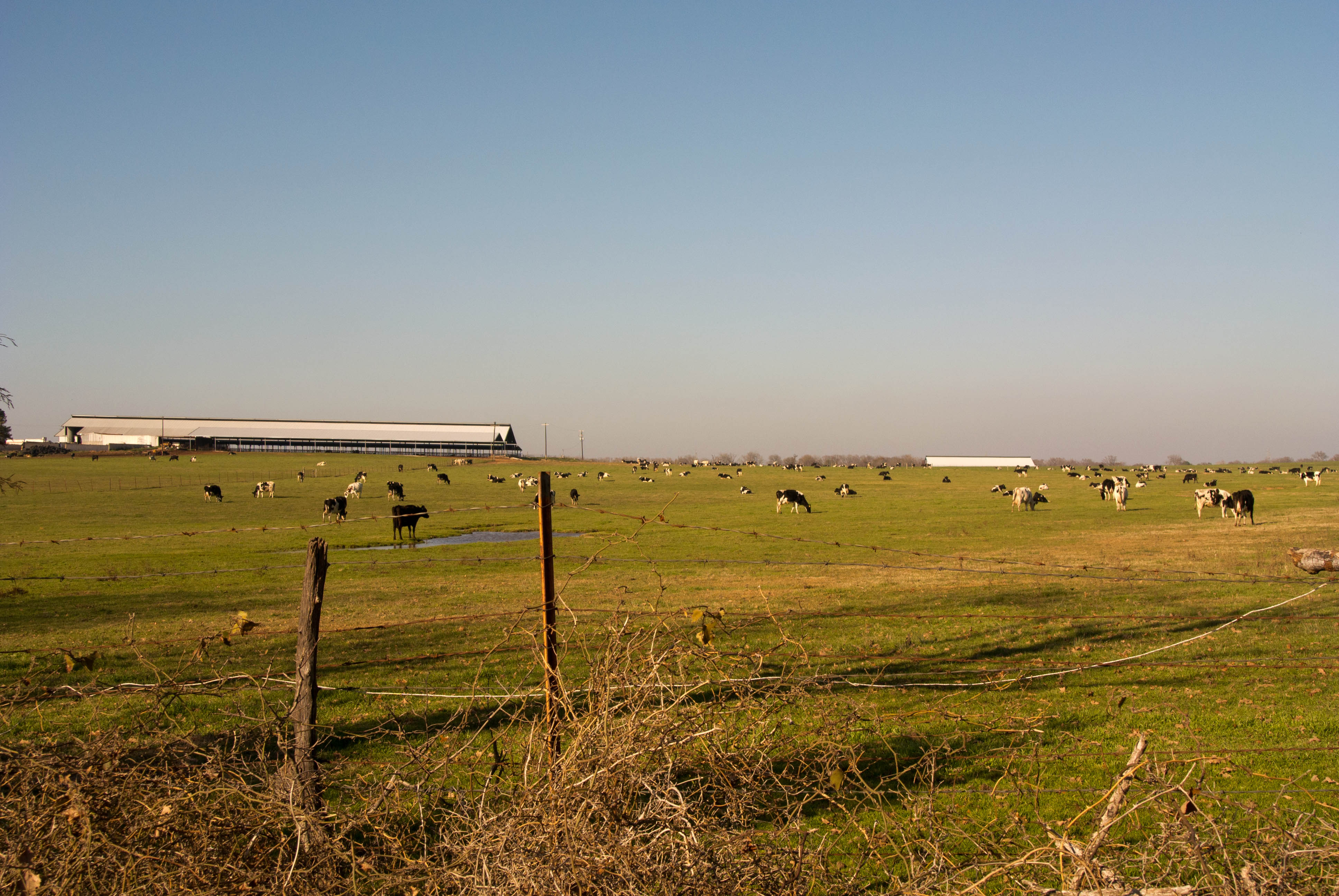
view

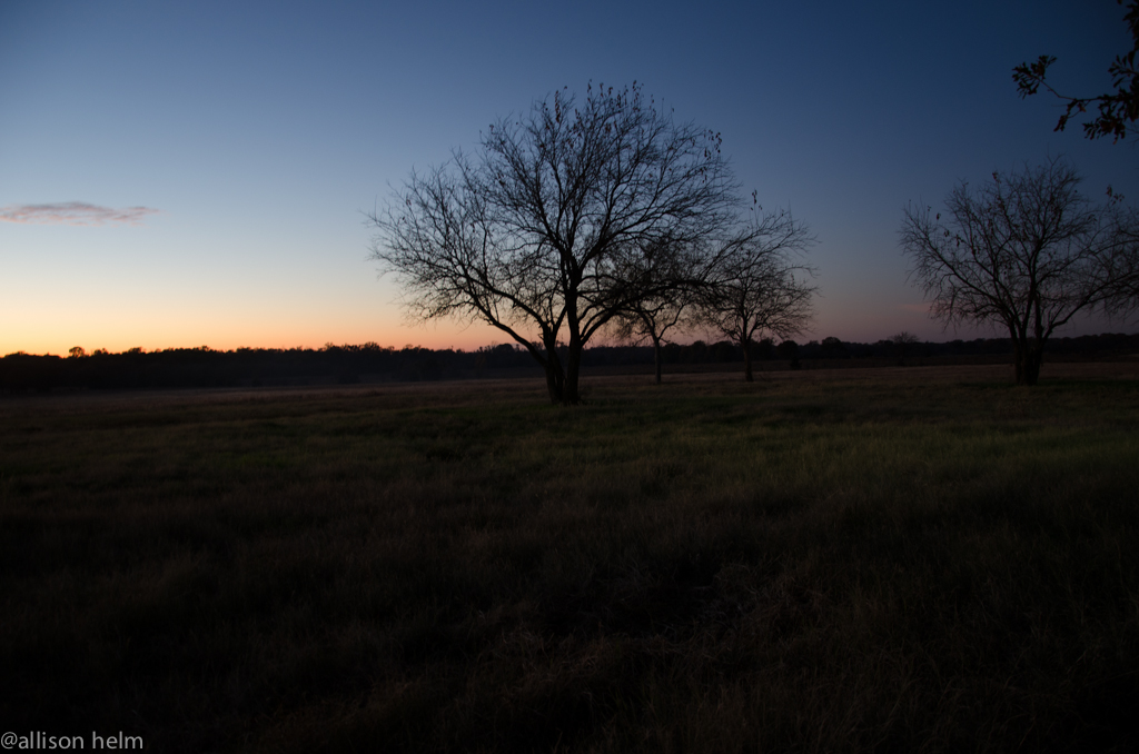
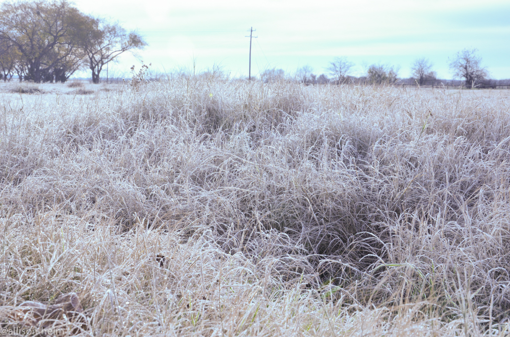
Early Spring Sunrise
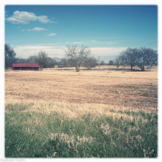
texastg-22

20111231-DSC_4129.jpg
texastgiphone-39
texastgiphone-6
20111231-DSC_4124.jpg

Great day for a bike ride. @wramsay20 #ridingmybike

texastgiphone-5
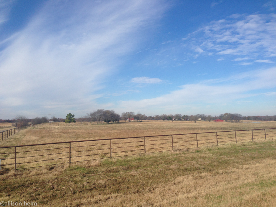
texastg-7
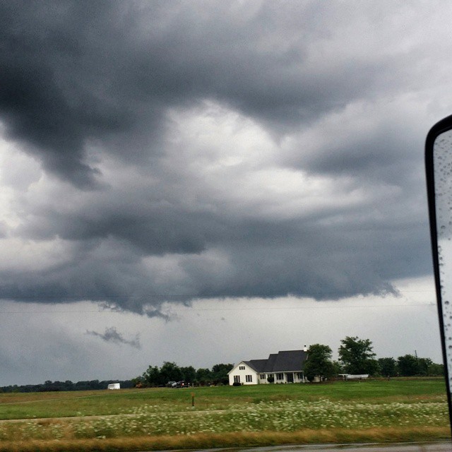
Definitely #Forrest #clouds RUN, FORREST, R U N !!!!!!! #severewx #CloudFormations #txwx #Texas
Topographic Map of Saltillo, TX, USA
Find elevation by address:

Places in Saltillo, TX, USA:
Places near Saltillo, TX, USA:
FM, Saltillo, TX, USA
County Road 2375
Mount Vernon
FM 69, Dike, TX, USA
Franklin County
TX-37, Winnsboro, TX, USA
Hopkins County
Dike
12469 W Farm Rd 71
Pickton
Como
490 Co Rd 2318
FM 71, Dike, TX, USA
870 W Broadway St
Winfield
2nd, Winfield, TX, USA
FM 71, Sulphur Springs, TX, USA
13 County Rd FM, Mt Vernon, TX, USA
FM, Scroggins, TX, USA
Winnsboro
Recent Searches:
- Elevation of Corso Fratelli Cairoli, 35, Macerata MC, Italy
- Elevation of Tallevast Rd, Sarasota, FL, USA
- Elevation of 4th St E, Sonoma, CA, USA
- Elevation of Black Hollow Rd, Pennsdale, PA, USA
- Elevation of Oakland Ave, Williamsport, PA, USA
- Elevation of Pedrógão Grande, Portugal
- Elevation of Klee Dr, Martinsburg, WV, USA
- Elevation of Via Roma, Pieranica CR, Italy
- Elevation of Tavkvetili Mountain, Georgia
- Elevation of Hartfords Bluff Cir, Mt Pleasant, SC, USA