Elevation of County Road, Co Rd, Pickton, TX, USA
Location: United States > Texas > Pickton >
Longitude: -95.337854
Latitude: 33.0754336
Elevation: 159m / 522feet
Barometric Pressure: 99KPa
Elevation Map:
Satellite Map:
Related Photos:
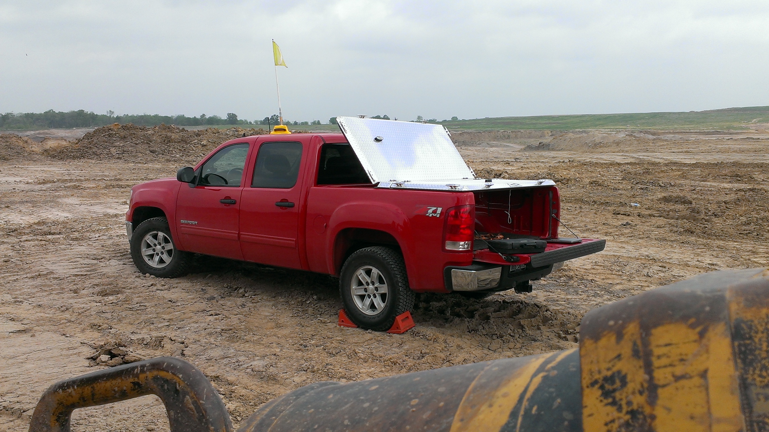
Heavy-Duty Truck Bed Cover with Custom Cleats on Red GMC Sierra

Sunset on Lake Cypress Springs, Texas

20111231-DSC_4129.jpg

Great day for a bike ride. @wramsay20 #ridingmybike
20111231-DSC_4124.jpg
Definitely #Forrest #clouds RUN, FORREST, R U N !!!!!!! #severewx #CloudFormations #txwx #Texas

Oil well somewhere in Texas. #onlyintexas #exploringtexas #texasexpedition

Longhorns ranch. Cows, bull, and red deers. #onlyintexas #exploringtexas #texasexpedition #zulucreekranch
texastg-7

texastg-22
texastg-29
texastgiphone-5
texastgiphone-6
texastgiphone-39
Topographic Map of County Road, Co Rd, Pickton, TX, USA
Find elevation by address:

Places near County Road, Co Rd, Pickton, TX, USA:
FM, Saltillo, TX, USA
Pickton
TX-37, Winnsboro, TX, USA
Saltillo
870 W Broadway St
Winnsboro
500 Helena Dr
500 Helena Dr
500 Helena Dr
Como
FM, Scroggins, TX, USA
490 Co Rd 2318
Mount Vernon
FM, Scroggins, TX, USA
300 Spring Creek Cir
Franklin County
FM 69, Dike, TX, USA
Hopkins County
13 County Rd FM, Mt Vernon, TX, USA
Dike
Recent Searches:
- Elevation of Corso Fratelli Cairoli, 35, Macerata MC, Italy
- Elevation of Tallevast Rd, Sarasota, FL, USA
- Elevation of 4th St E, Sonoma, CA, USA
- Elevation of Black Hollow Rd, Pennsdale, PA, USA
- Elevation of Oakland Ave, Williamsport, PA, USA
- Elevation of Pedrógão Grande, Portugal
- Elevation of Klee Dr, Martinsburg, WV, USA
- Elevation of Via Roma, Pieranica CR, Italy
- Elevation of Tavkvetili Mountain, Georgia
- Elevation of Hartfords Bluff Cir, Mt Pleasant, SC, USA