Elevation of Hopkins County, TX, USA
Location: United States > Texas >
Longitude: -95.477781
Latitude: 33.2282942
Elevation: 135m / 443feet
Barometric Pressure: 100KPa
Elevation Map:
Satellite Map:
Related Photos:

view

Storm Damage DJI00032

Storm Damage DJI00035
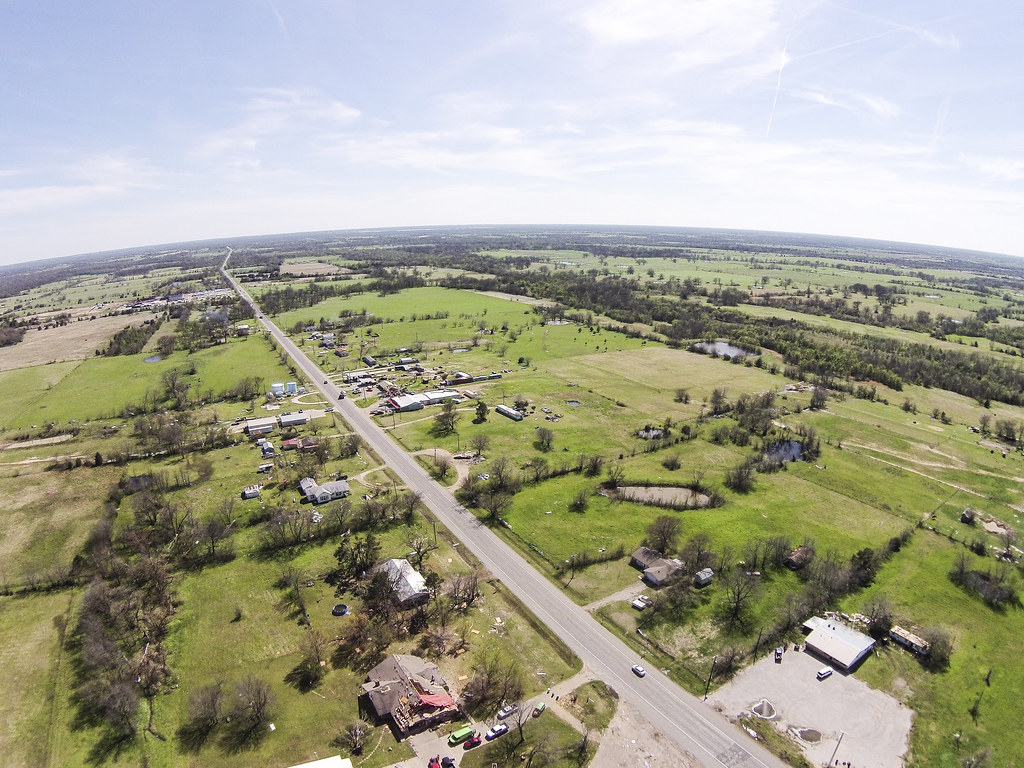
Tornado Damage DJI00056

Tornado Damage DJI00025

Tornado Damage DJI00054
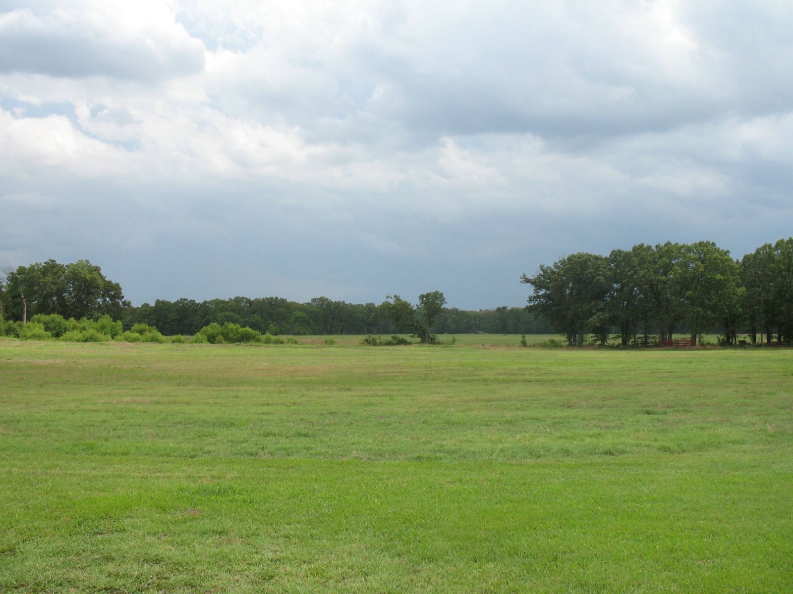
2006-6-24 Butler Family Reunion 0791

texastg-22

texastgiphone-39
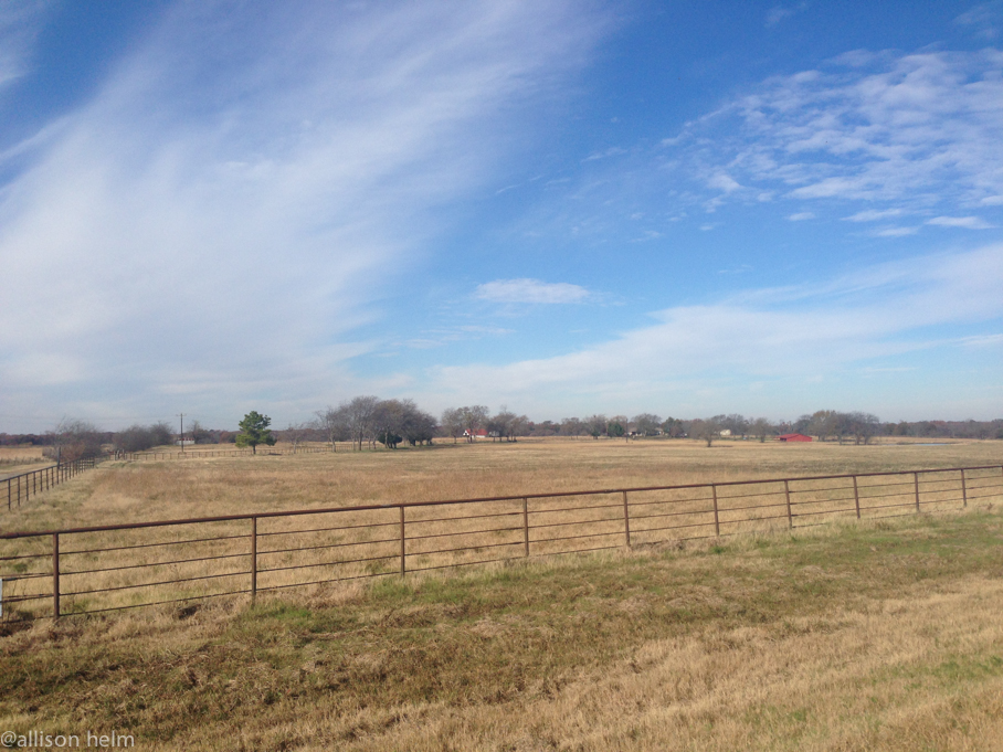
texastgiphone-6

texastgiphone-5
texastg-7
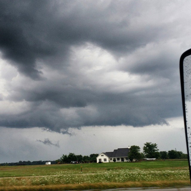
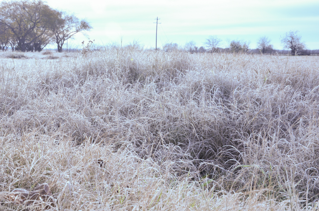
Definitely #Forrest #clouds RUN, FORREST, R U N !!!!!!! #severewx #CloudFormations #txwx #Texas
Topographic Map of Hopkins County, TX, USA
Find elevation by address:

Places in Hopkins County, TX, USA:
Places near Hopkins County, TX, USA:
Dike
FM 69, Dike, TX, USA
FM 71, Dike, TX, USA
FM 71, Sulphur Springs, TX, USA
163 Shiloh Ct
12469 W Farm Rd 71
490 Co Rd 2318
Church St, Sulphur Springs, TX, USA
Sulphur Springs
Saltillo
La Quinta Inn & Suites Sulphur Springs
County Rd, Lake Creek, TX, USA
Como
FM, Lake Creek, TX, USA
300 Spring Creek Cir
FM, Saltillo, TX, USA
County Road 2375
Pickton
FR, Blossom, TX, USA
County Rd, Deport, TX, USA
Recent Searches:
- Elevation of Corso Fratelli Cairoli, 35, Macerata MC, Italy
- Elevation of Tallevast Rd, Sarasota, FL, USA
- Elevation of 4th St E, Sonoma, CA, USA
- Elevation of Black Hollow Rd, Pennsdale, PA, USA
- Elevation of Oakland Ave, Williamsport, PA, USA
- Elevation of Pedrógão Grande, Portugal
- Elevation of Klee Dr, Martinsburg, WV, USA
- Elevation of Via Roma, Pieranica CR, Italy
- Elevation of Tavkvetili Mountain, Georgia
- Elevation of Hartfords Bluff Cir, Mt Pleasant, SC, USA