Elevation of Saint Francis, St Francis, ME, USA
Location: United States > Maine > Aroostook County >
Longitude: -68.889764
Latitude: 47.1711474
Elevation: 183m / 600feet
Barometric Pressure: 99KPa
Elevation Map:
Satellite Map:
Related Photos:

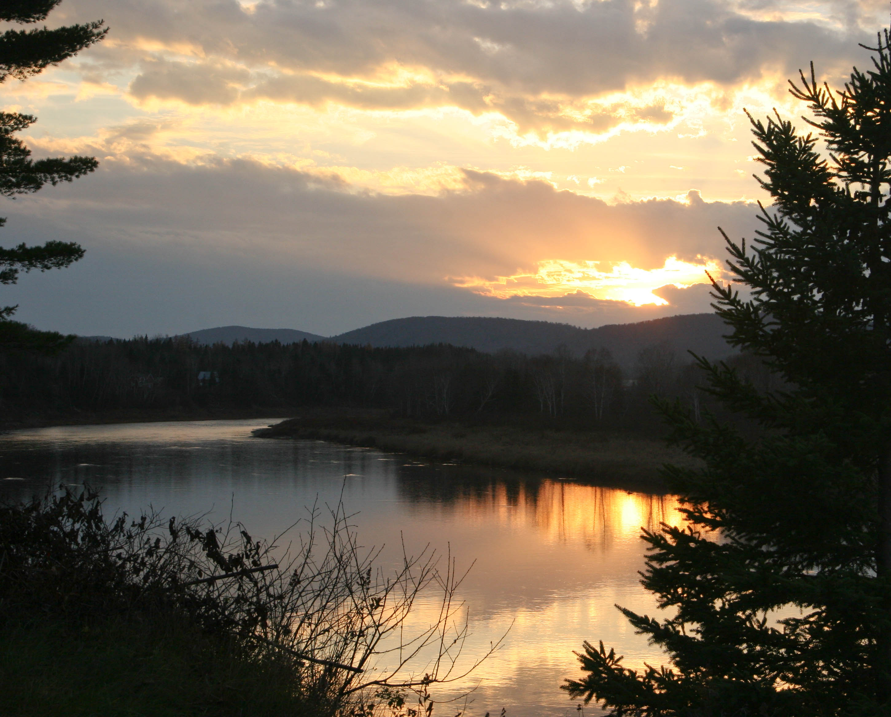
Saint John Sunset

Saint John Reflections

Saint John Sunrise

Saint John Cloud Line

Saint John Puffy Cloud

Saint John 1

Reserved Seating

Saint John Birches
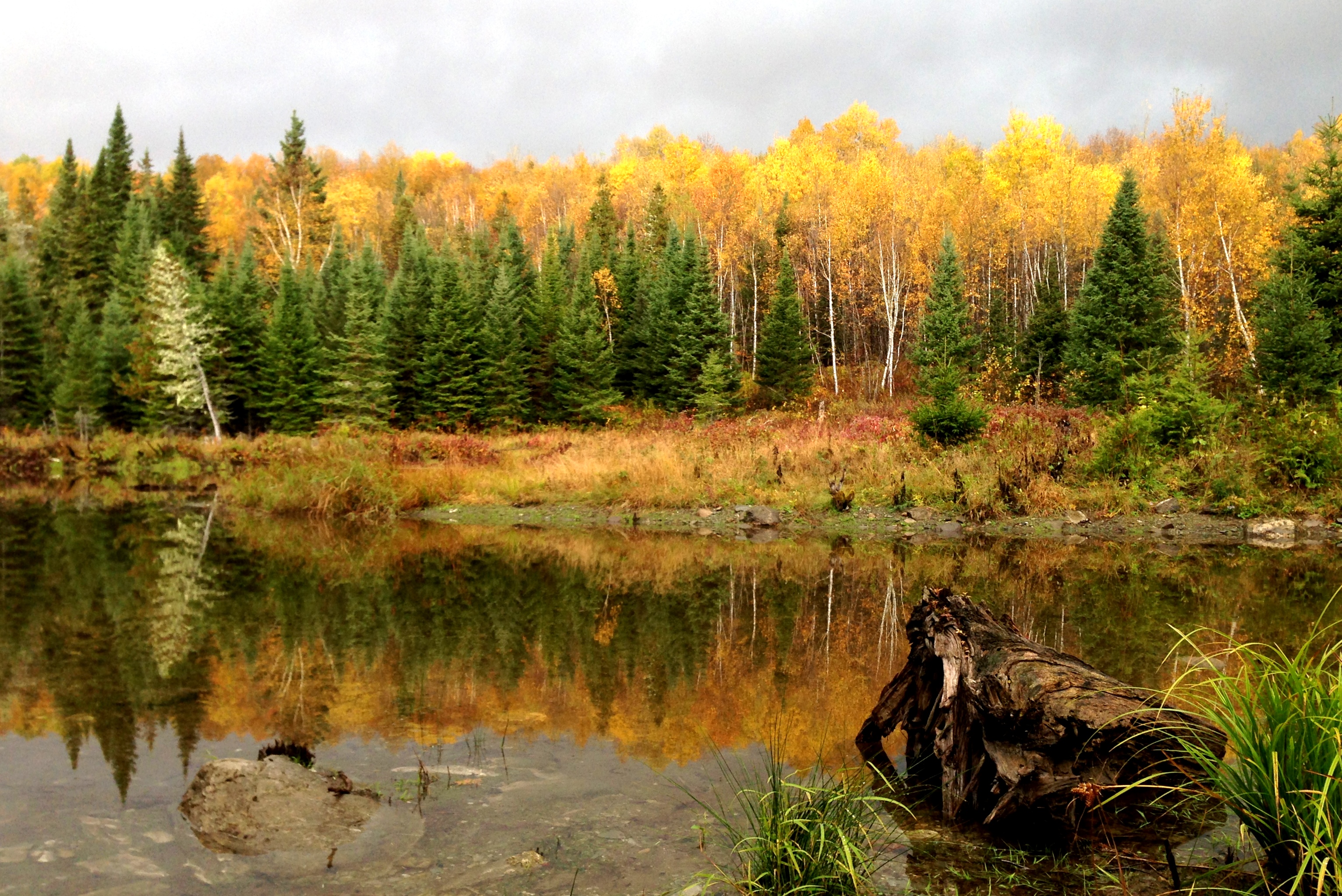
Northern Maine colors
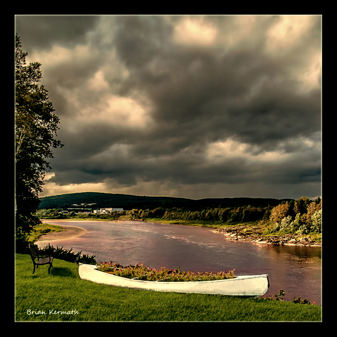
Stormy skies
St. John's River at sunset (near Allagash, Maine)
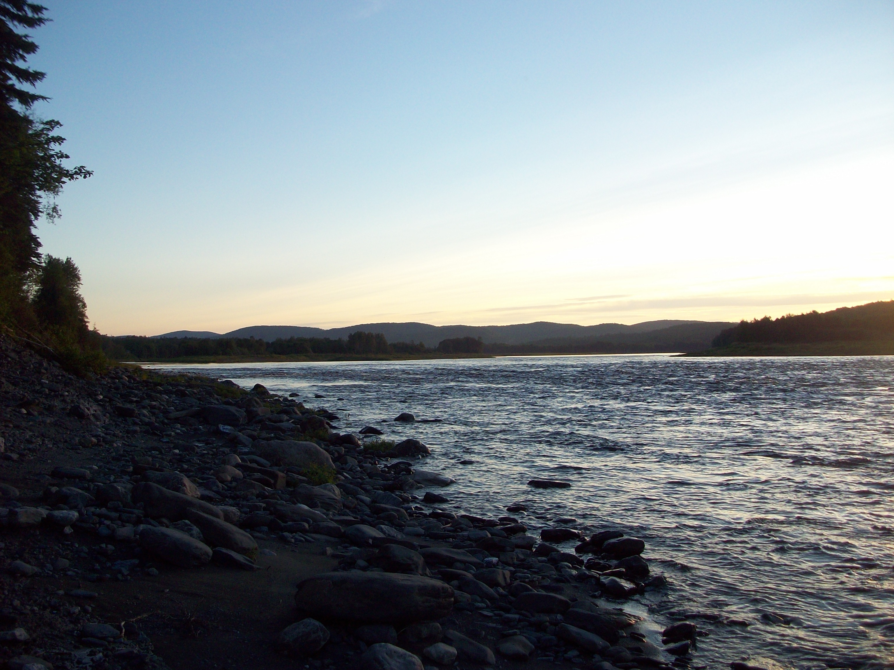
sunset St John River
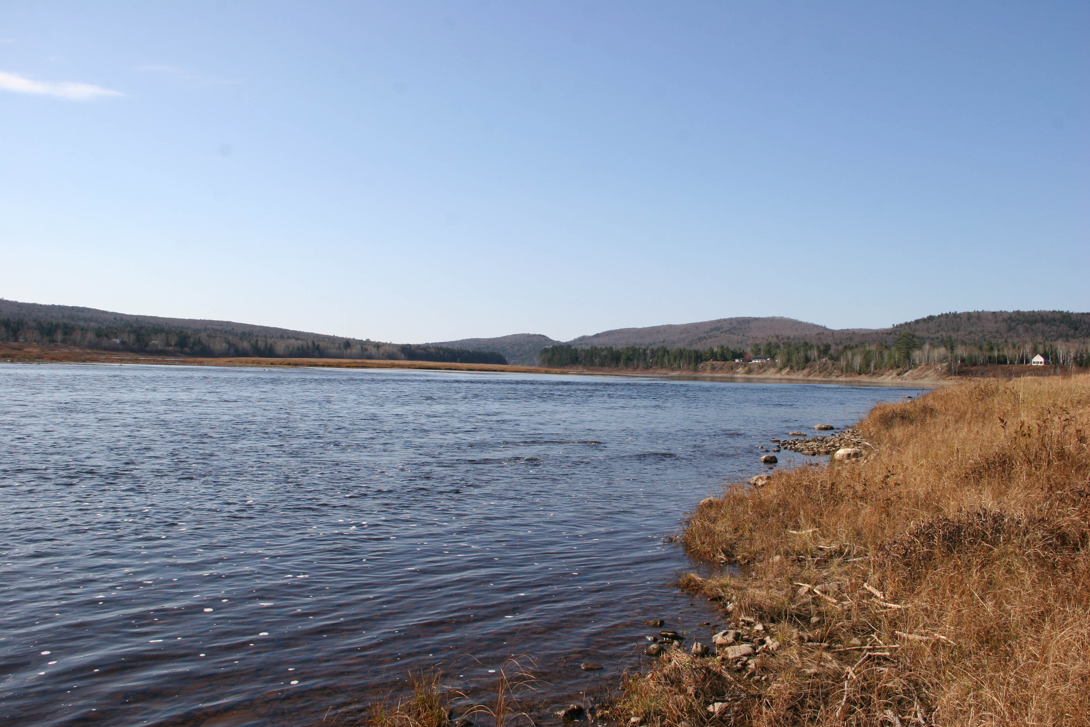
St John river
Topographic Map of Saint Francis, St Francis, ME, USA
Find elevation by address:

Places in Saint Francis, St Francis, ME, USA:
Places near Saint Francis, St Francis, ME, USA:
ME-, St Francis, ME, USA
ME-, St. John Plantation, ME, USA
Saint John Plantation
NB-, Saint-François de Madawaska, NB E7A 1R6, Canada
Rang 2 Rd, Saint-François de Madawaska, NB E7A 1P4, Canada
Saint-françois De Madawaska
Rue Commerciale, Saint-François-de-Madawaska, NB E7A 1A9, Canada
28 Rue De L'Église
Saint-marc-du-lac-long
QC-, Saint-Marc-du-Lac-Long, QC G0L 1T0, Canada
St John Rd, Fort Kent, ME, USA
Saint-marc-du-lac-long
Devoe Brook Road
6e Rang, Packington, QC G0L 1Z0, Canada
Route du Lac Jerry, Packington, QC G0L 1Z0, Canada
Rue Centrale, Lac-Baker, NB E7A 1H7, Canada
Clair
Lac Baker
185 Us-1
E7a 1m5
Recent Searches:
- Elevation of Corso Fratelli Cairoli, 35, Macerata MC, Italy
- Elevation of Tallevast Rd, Sarasota, FL, USA
- Elevation of 4th St E, Sonoma, CA, USA
- Elevation of Black Hollow Rd, Pennsdale, PA, USA
- Elevation of Oakland Ave, Williamsport, PA, USA
- Elevation of Pedrógão Grande, Portugal
- Elevation of Klee Dr, Martinsburg, WV, USA
- Elevation of Via Roma, Pieranica CR, Italy
- Elevation of Tavkvetili Mountain, Georgia
- Elevation of Hartfords Bluff Cir, Mt Pleasant, SC, USA