Elevation of Devoe Brook Road, Devoe Brook Rd, Eagle Lake, ME, USA
Location: United States > Maine > Aroostook County > Eagle Lake >
Longitude: -68.641747
Latitude: 47.0649178
Elevation: 347m / 1138feet
Barometric Pressure: 97KPa
Elevation Map:
Satellite Map:
Related Photos:

Orage à Eagle Lake B
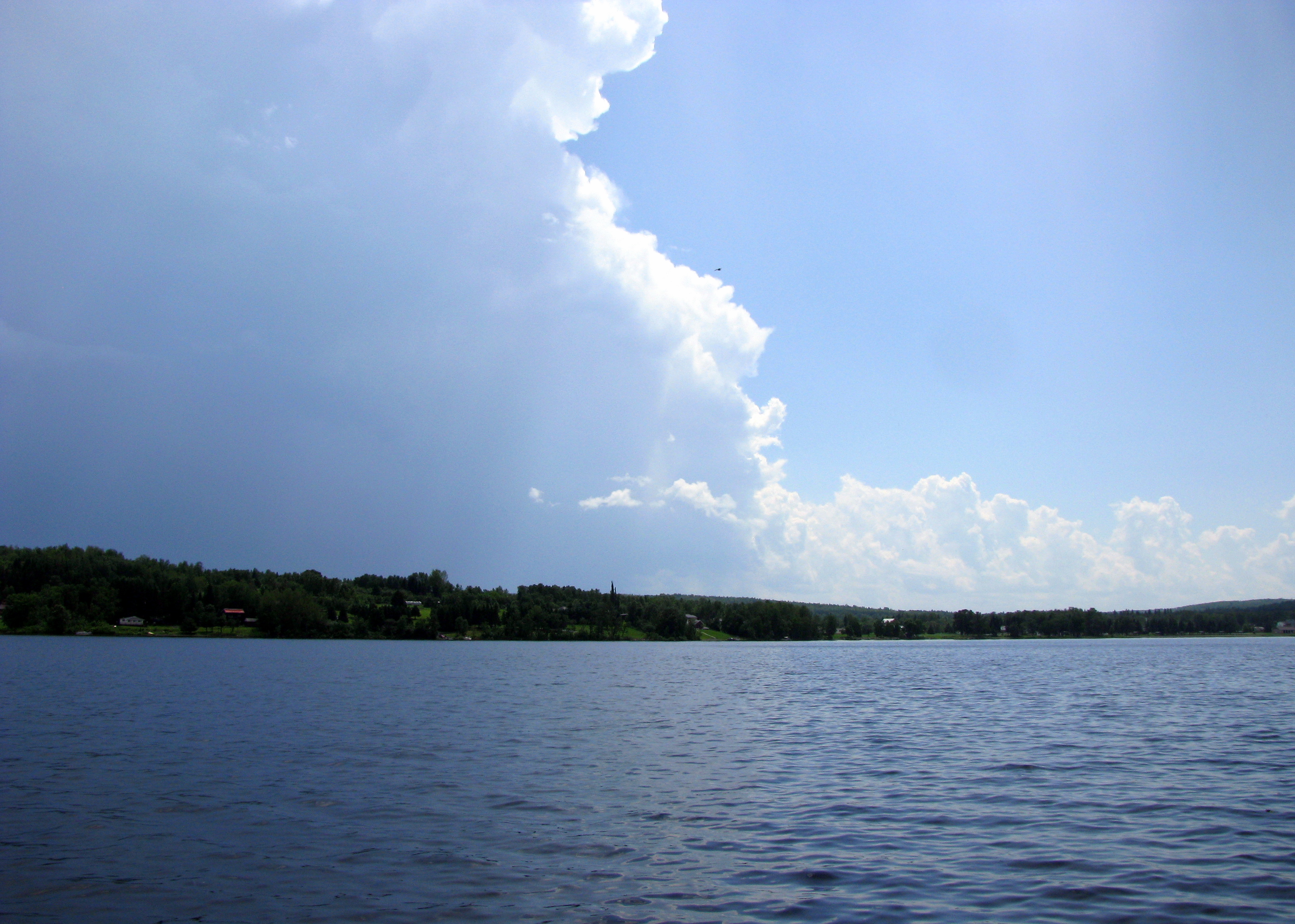
Orage qui passe

Orage à Eagle Lake A

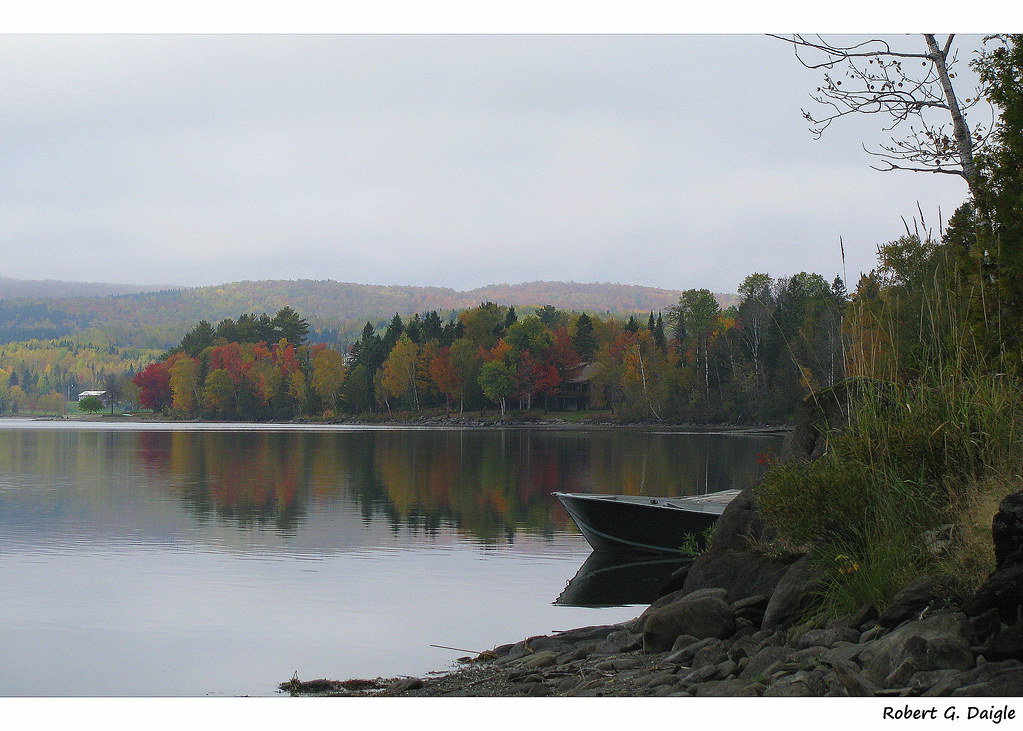
Bateau de l'automne

L'automne au camp-widescreen

L'automne au camp B
Eagle Lake, Maine

IMG_0817 7h16 am
Changing landscape
Promenade de l'automne à Eagle Lake

Looking up from southeast corner of lot
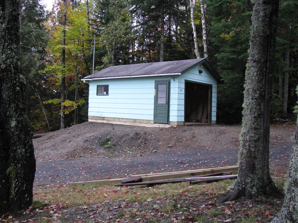
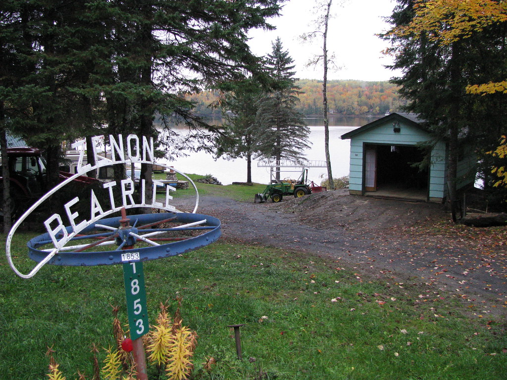
New place for old garage

Old garage finds a new home

The new look to the camp lot

L'automne au camp-8x10

Bateau de l'automne-widescreen

Silver maple

Old garage in it's new home

Siding finished-Garage door installed

Red maple

Striped maple

Garage and picnic table cover moved

Mussel art and birch leaf

Freshwater mussel-Moule d'eau douce

Gavia immer - Huard - Loon B

Gavia immer - Huard - Loon A
Topographic Map of Devoe Brook Road, Devoe Brook Rd, Eagle Lake, ME, USA
Find elevation by address:

Places near Devoe Brook Road, Devoe Brook Rd, Eagle Lake, ME, USA:
Eagle Lake
32 Lakeside Ln, Eagle Lake, ME, USA
St John Rd, Fort Kent, ME, USA
Rue Commerciale, Saint-François-de-Madawaska, NB E7A 1A9, Canada
185 Us-1
Clair
137 Market St
Saint-françois De Madawaska
Fort Kent
Fort Kent
197 E Main St
NB-, Saint-François de Madawaska, NB E7A 1R6, Canada
Saint John Plantation
ME-, St. John Plantation, ME, USA
Rang 2 Rd, Saint-François de Madawaska, NB E7A 1P4, Canada
999 Frenchville Rd
E7a 1m5
3754 A
ME-, St Francis, ME, USA
Rue Centrale, Lac-Baker, NB E7A 1H7, Canada
Recent Searches:
- Elevation of Corso Fratelli Cairoli, 35, Macerata MC, Italy
- Elevation of Tallevast Rd, Sarasota, FL, USA
- Elevation of 4th St E, Sonoma, CA, USA
- Elevation of Black Hollow Rd, Pennsdale, PA, USA
- Elevation of Oakland Ave, Williamsport, PA, USA
- Elevation of Pedrógão Grande, Portugal
- Elevation of Klee Dr, Martinsburg, WV, USA
- Elevation of Via Roma, Pieranica CR, Italy
- Elevation of Tavkvetili Mountain, Georgia
- Elevation of Hartfords Bluff Cir, Mt Pleasant, SC, USA