Elevation of Eagle Lake, ME, USA
Location: United States > Maine > Aroostook County >
Longitude: -68.589489
Latitude: 47.0400396
Elevation: 189m / 620feet
Barometric Pressure: 99KPa
Elevation Map:
Satellite Map:
Related Photos:

Moon Over Eagle Lake, Maine

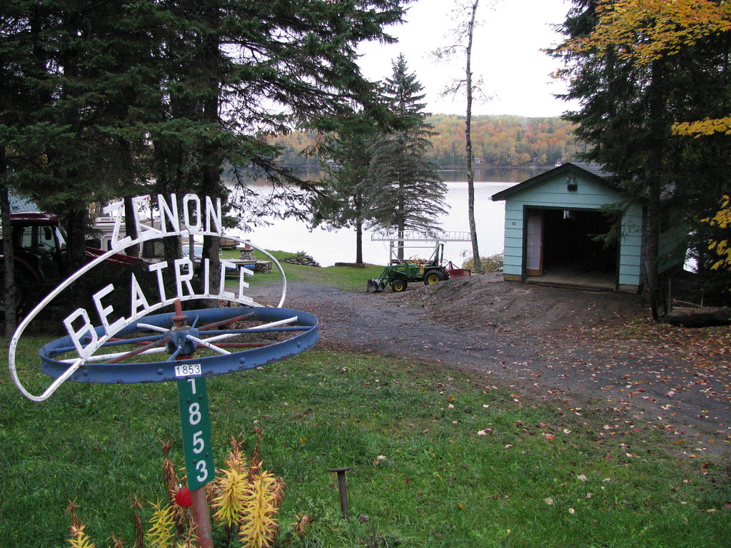
Bateau de l'automne

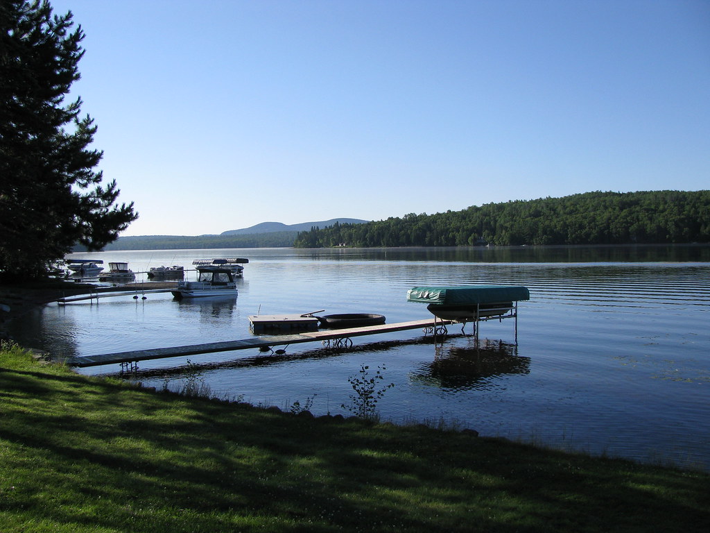
Sunrise Over Eagle Lake, Maine

Rainbow Over Eagle Lake, Maine

Foggy Sunrise

Double Rainbow Over Eagle Lake
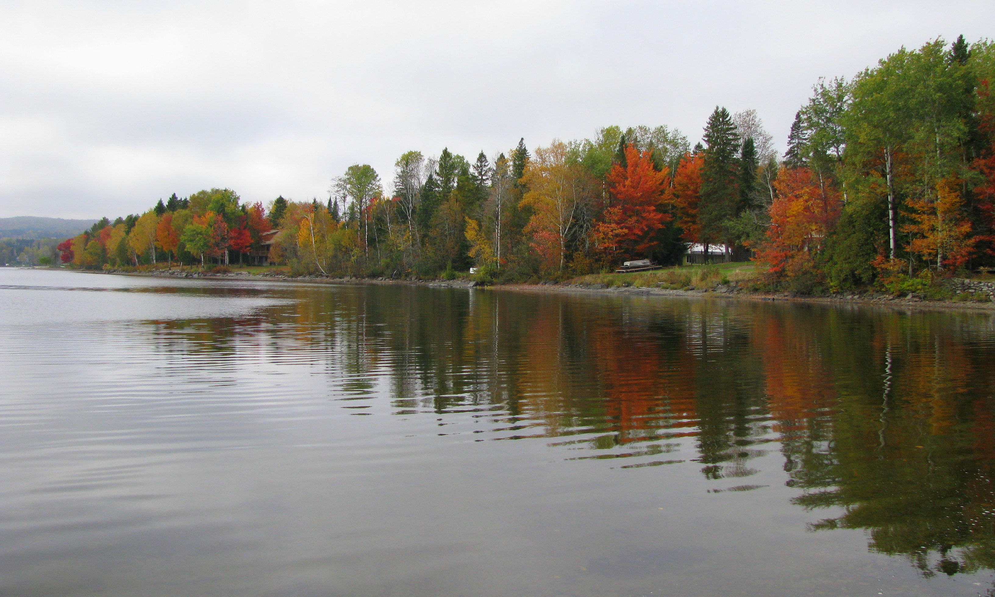
L'automne au camp-widescreen
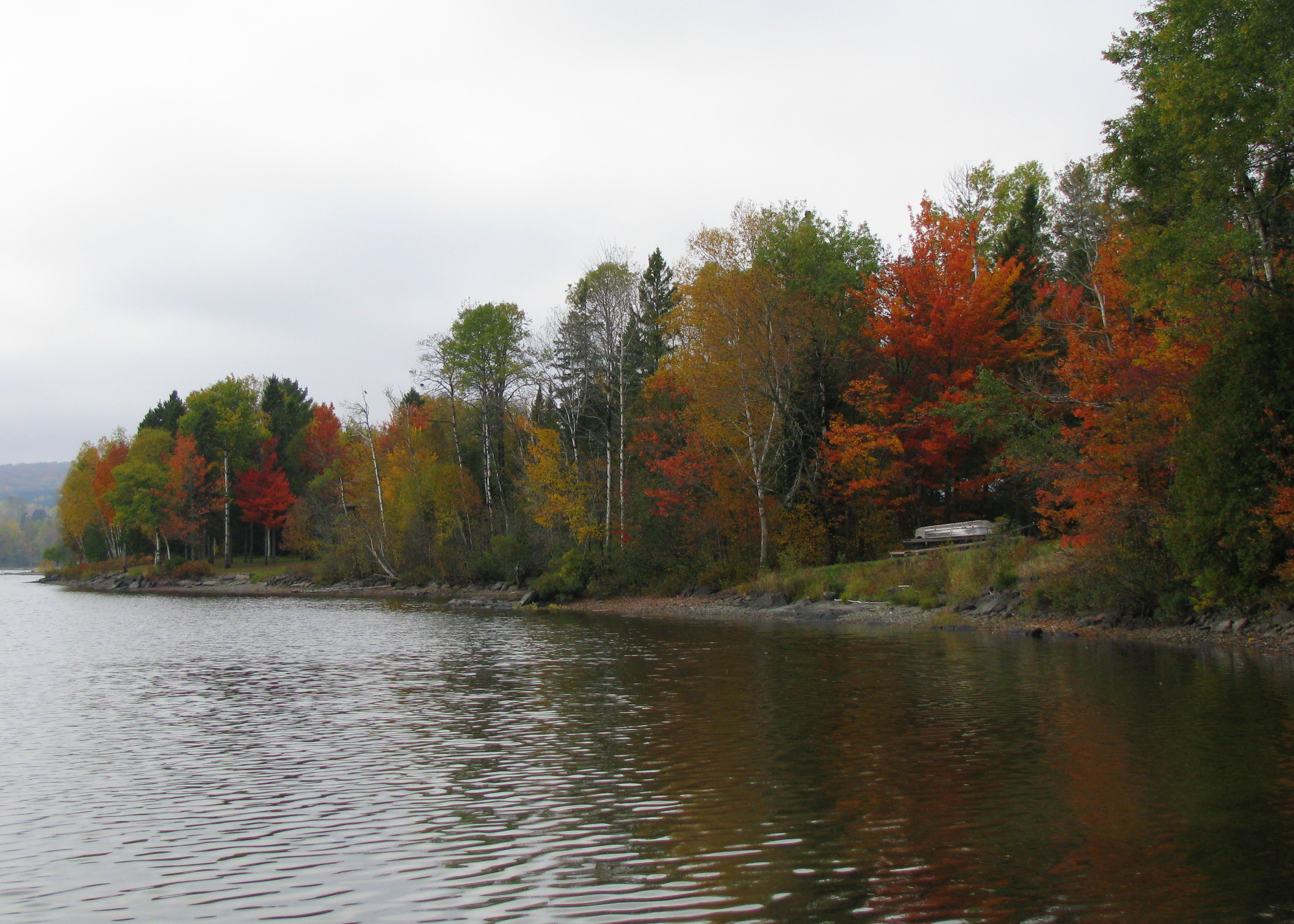
L'automne au camp B
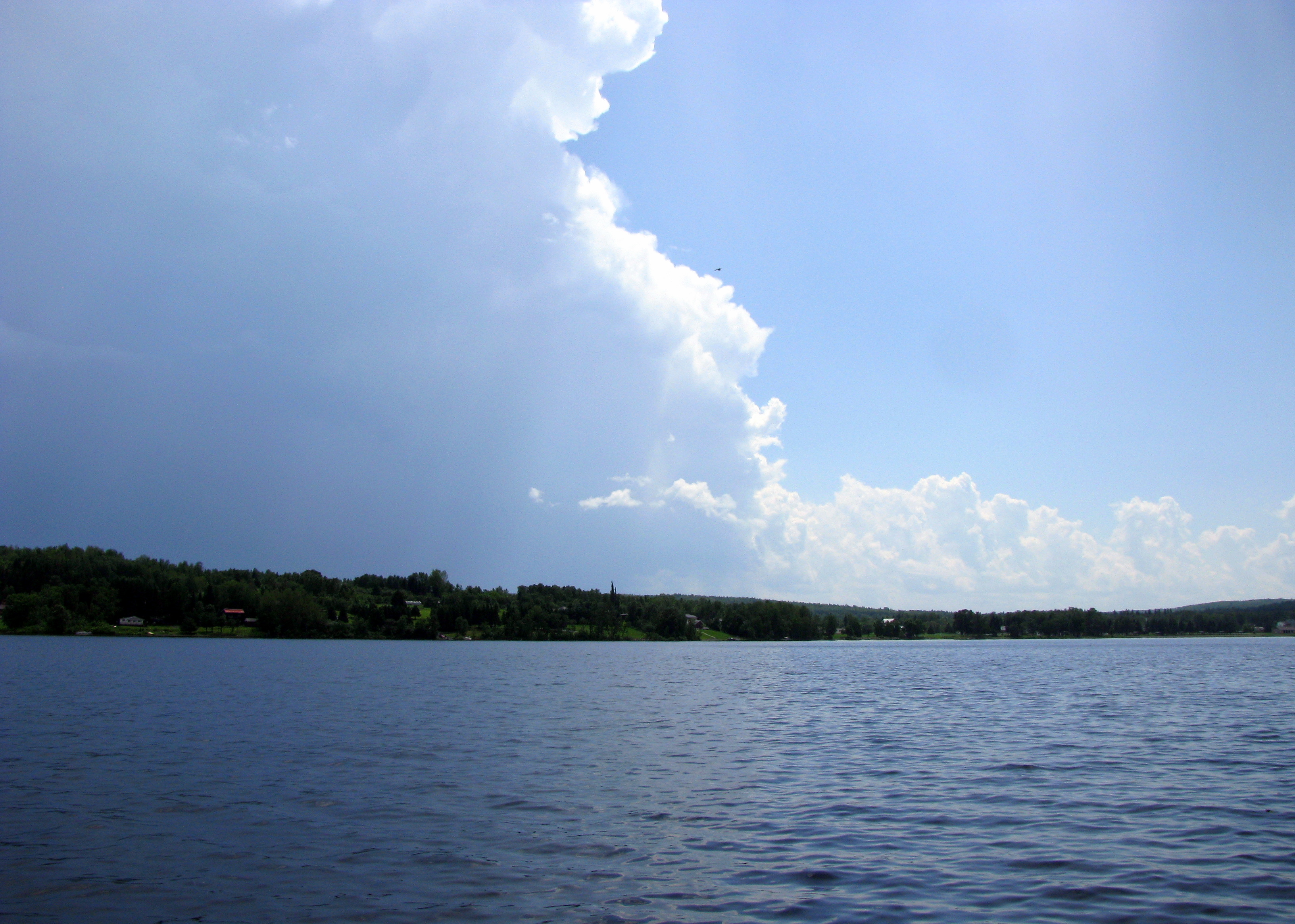
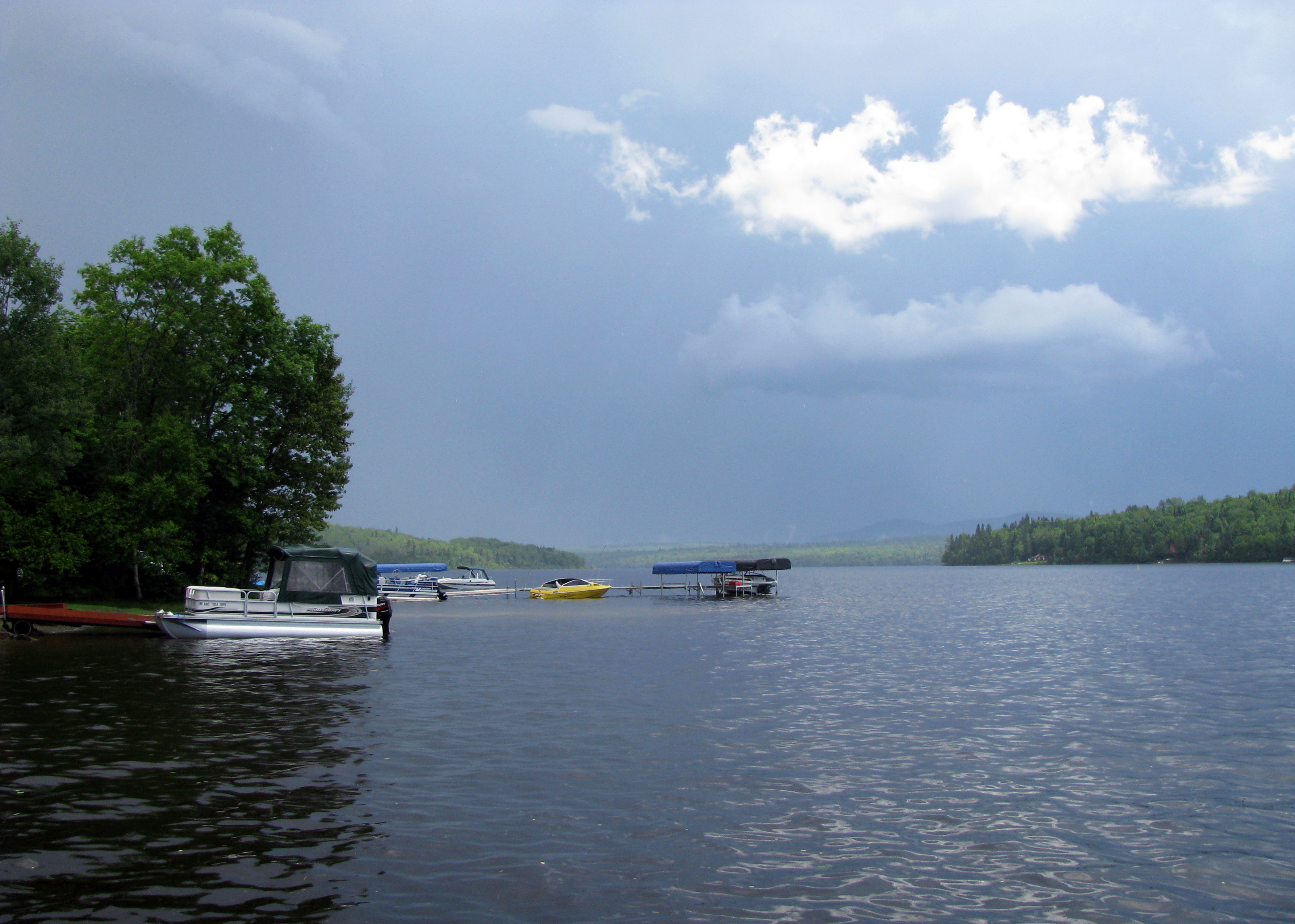
Orage qui passe
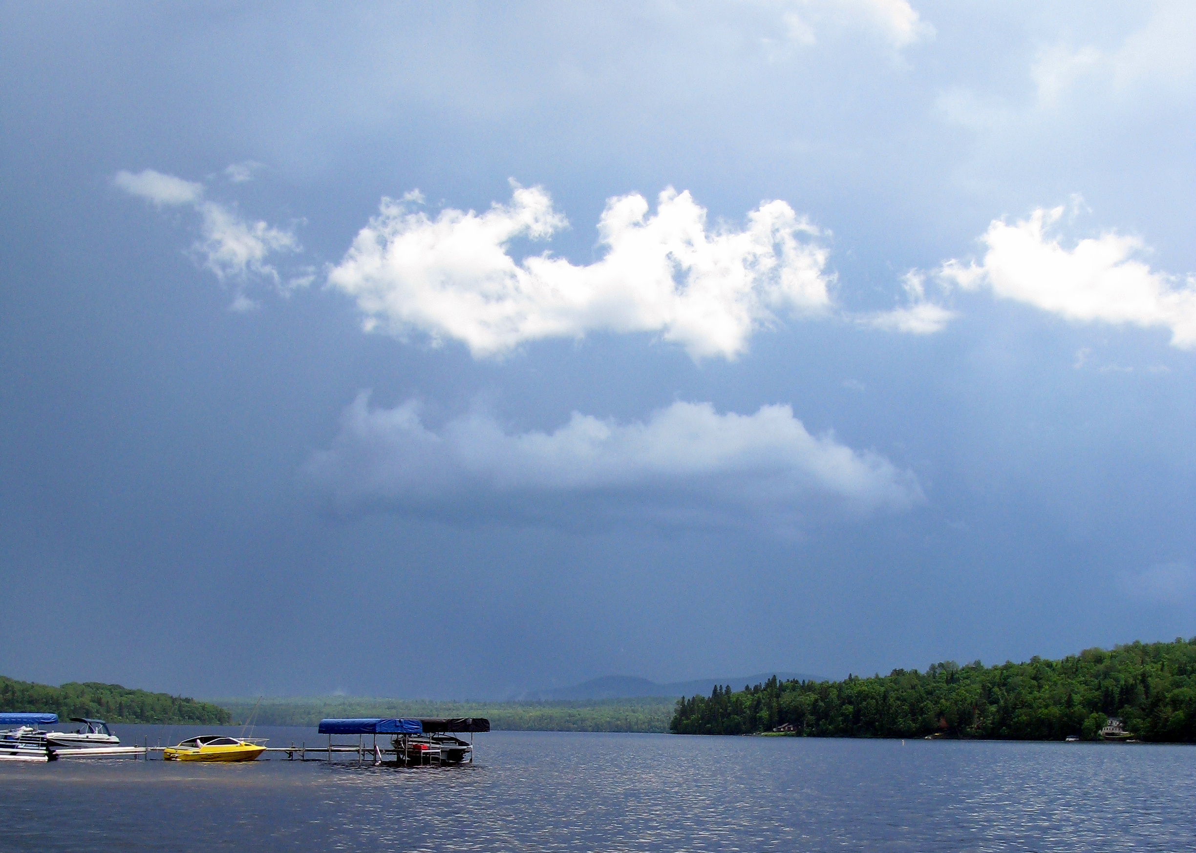
Orage à Eagle Lake B

Eagle Lake, Maine
IMG_0817 7h16 am
Orage à Eagle Lake A
Changing landscape
Topographic Map of Eagle Lake, ME, USA
Find elevation by address:

Places in Eagle Lake, ME, USA:
Places near Eagle Lake, ME, USA:
32 Lakeside Ln, Eagle Lake, ME, USA
Devoe Brook Road
137 Market St
St John Rd, Fort Kent, ME, USA
185 Us-1
Clair
Fort Kent
Fort Kent
197 E Main St
Rue Commerciale, Saint-François-de-Madawaska, NB E7A 1A9, Canada
Saint-françois De Madawaska
999 Frenchville Rd
Aroostook County
Portage Lake
170 Fox Hill Rd
NB-, Saint-François de Madawaska, NB E7A 1R6, Canada
3754 A
Rang 2 Rd, Saint-François de Madawaska, NB E7A 1P4, Canada
Saint John Plantation
ME-, St. John Plantation, ME, USA
Recent Searches:
- Elevation of Corso Fratelli Cairoli, 35, Macerata MC, Italy
- Elevation of Tallevast Rd, Sarasota, FL, USA
- Elevation of 4th St E, Sonoma, CA, USA
- Elevation of Black Hollow Rd, Pennsdale, PA, USA
- Elevation of Oakland Ave, Williamsport, PA, USA
- Elevation of Pedrógão Grande, Portugal
- Elevation of Klee Dr, Martinsburg, WV, USA
- Elevation of Via Roma, Pieranica CR, Italy
- Elevation of Tavkvetili Mountain, Georgia
- Elevation of Hartfords Bluff Cir, Mt Pleasant, SC, USA