Elevation of NB-, Saint-François de Madawaska, NB E7A 1R6, Canada
Location: Canada > New Brunswick > Madawaska County > Saint-françois >
Longitude: -68.787927
Latitude: 47.2230563
Elevation: 163m / 535feet
Barometric Pressure: 99KPa
Elevation Map:
Satellite Map:
Related Photos:
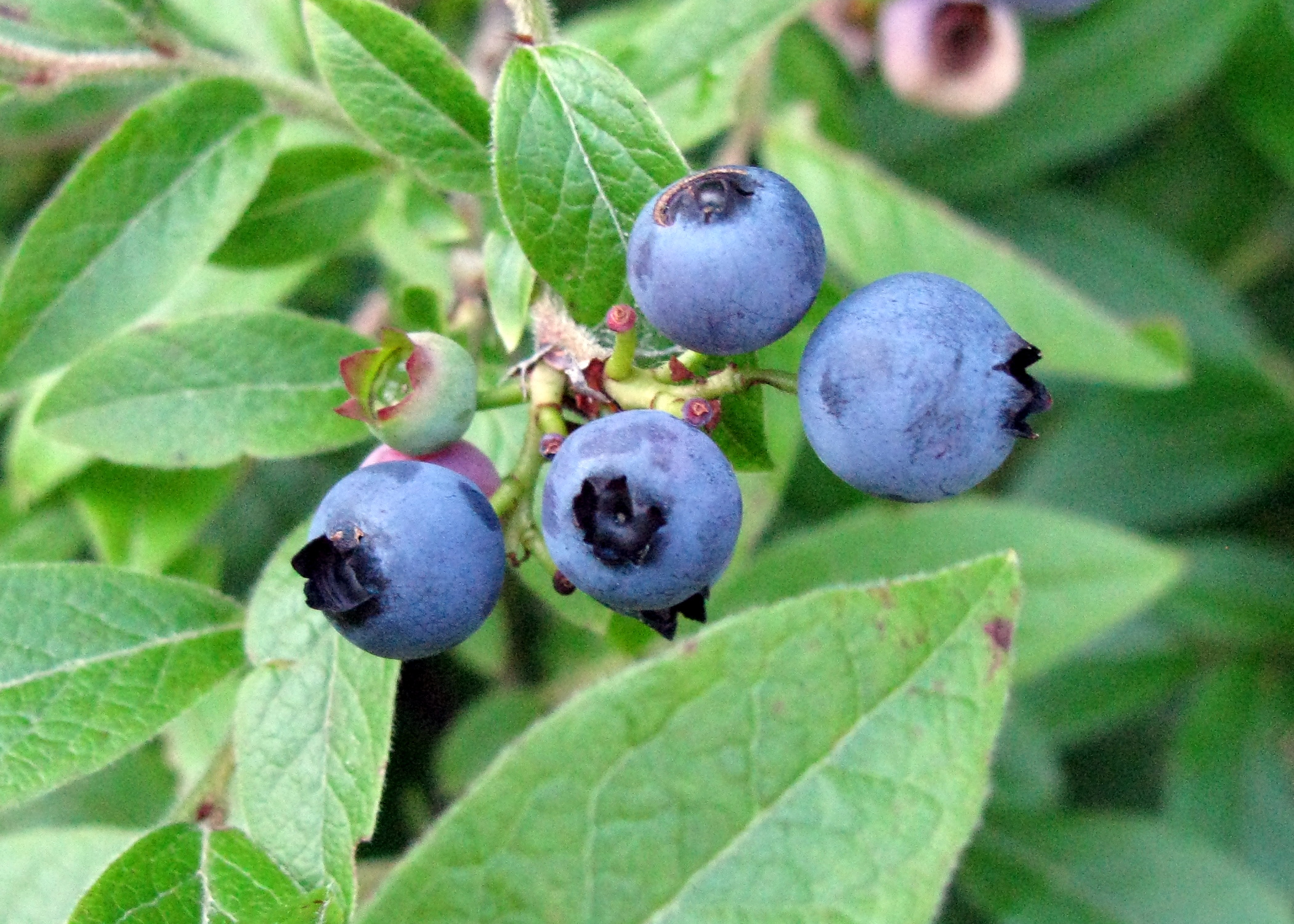
Bleuets sauvages - fin juillet
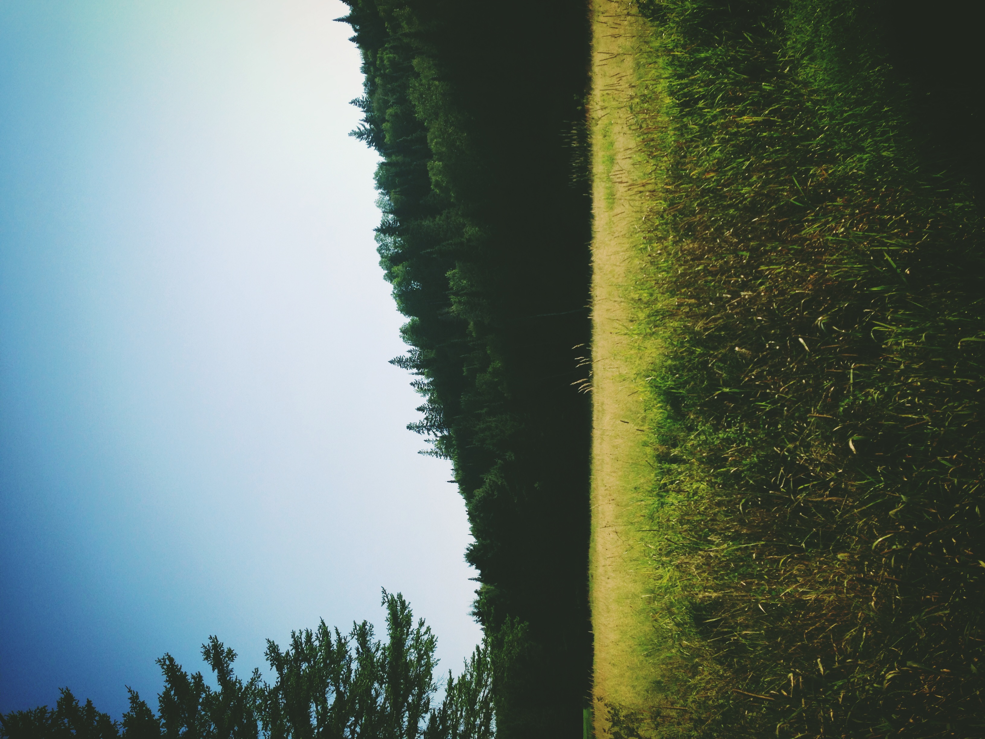
Maine.
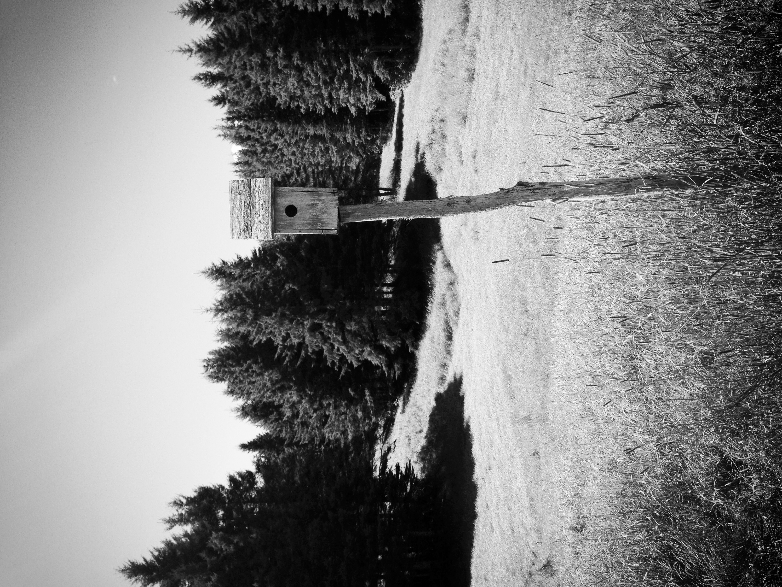
Birdhouse.
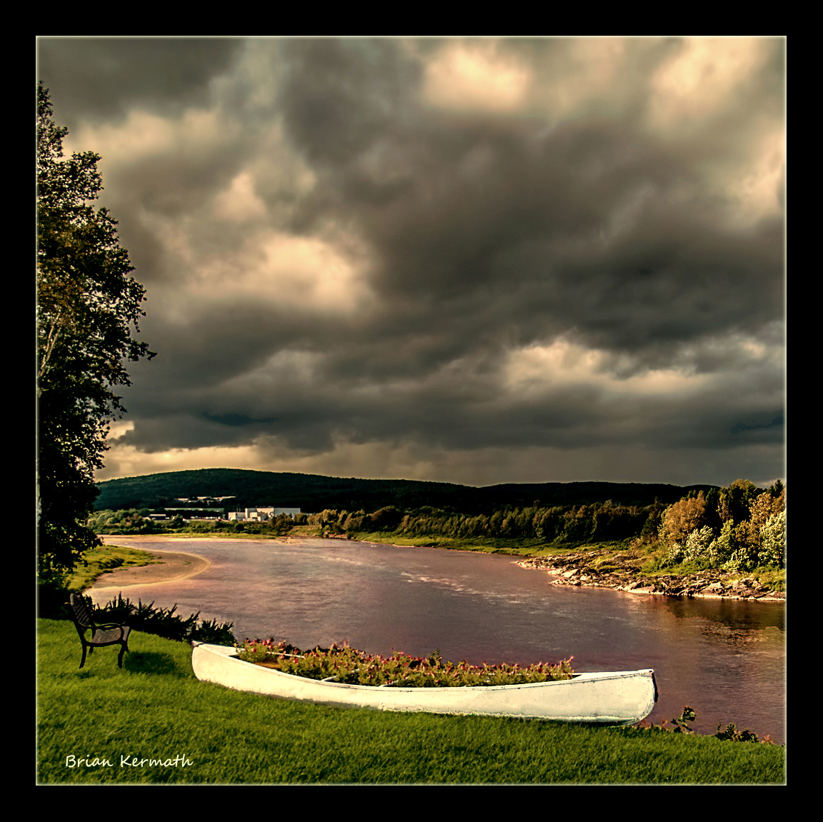
Stormy skies
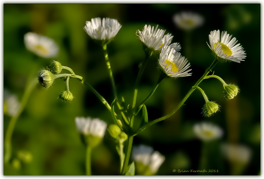
Daisy/Fleabane (Asteraceae), probably of the Erigeron genus, perhaps E. annuus.

fleur blanche non-identifiée

Fish River Falls, Fort Kent, ME
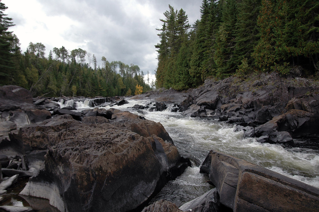
Fish River Falls, Fort Kent, ME
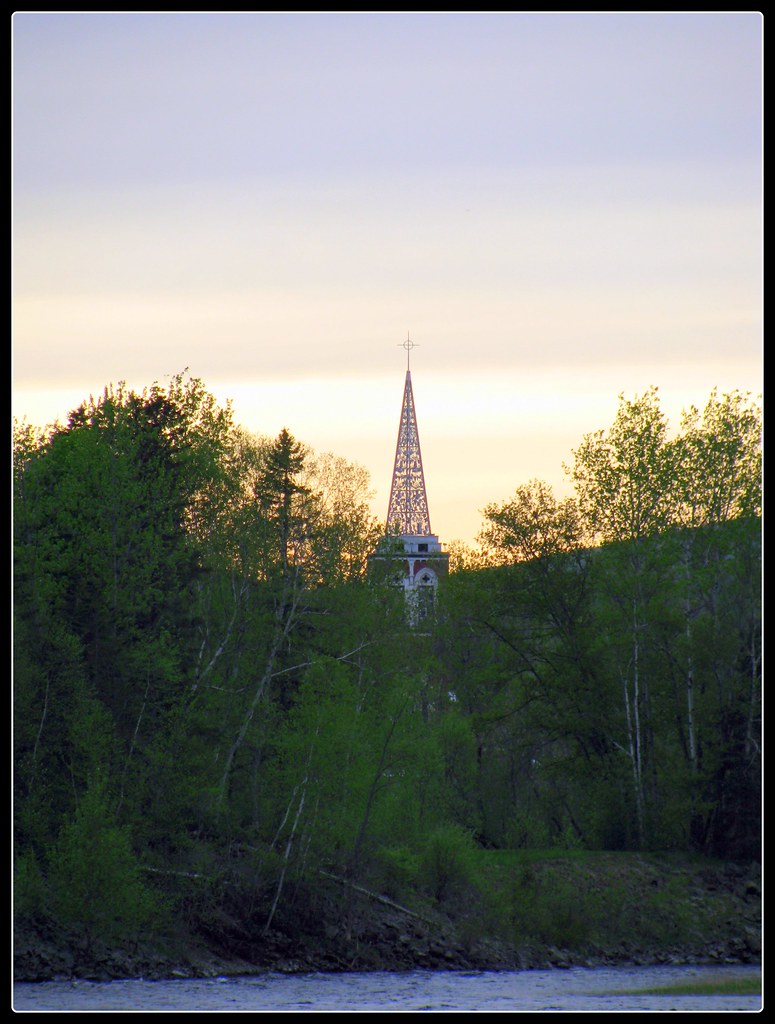
Rivière Arbres Clocher - Fort Kent, Maine
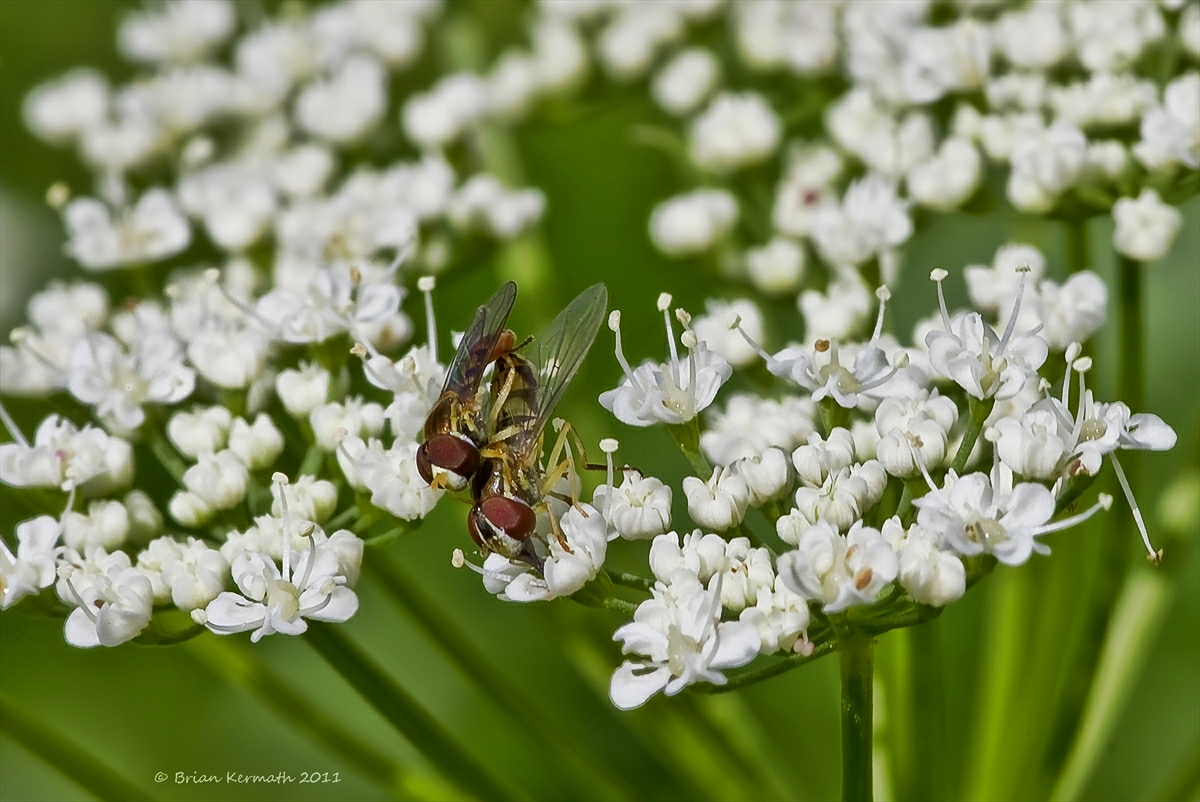
Syrphid flies on ground-elder (Aegopodium podagraria)

Pistes de ski alpin de Fort Kent
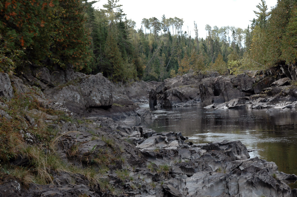
Downstream of the Falls
Topographic Map of NB-, Saint-François de Madawaska, NB E7A 1R6, Canada
Find elevation by address:

Places near NB-, Saint-François de Madawaska, NB E7A 1R6, Canada:
Saint John Plantation
ME-, St. John Plantation, ME, USA
Rang 2 Rd, Saint-François de Madawaska, NB E7A 1P4, Canada
Saint-françois De Madawaska
Rue Commerciale, Saint-François-de-Madawaska, NB E7A 1A9, Canada
Saint Francis
ME-, St Francis, ME, USA
St John Rd, Fort Kent, ME, USA
QC-, Saint-Marc-du-Lac-Long, QC G0L 1T0, Canada
Rue Centrale, Lac-Baker, NB E7A 1H7, Canada
Lac Baker
Clair
185 Us-1
E7a 1m5
28 Rue De L'Église
Saint-marc-du-lac-long
Fort Kent
Fort Kent
197 E Main St
6e Rang, Packington, QC G0L 1Z0, Canada
Recent Searches:
- Elevation of Corso Fratelli Cairoli, 35, Macerata MC, Italy
- Elevation of Tallevast Rd, Sarasota, FL, USA
- Elevation of 4th St E, Sonoma, CA, USA
- Elevation of Black Hollow Rd, Pennsdale, PA, USA
- Elevation of Oakland Ave, Williamsport, PA, USA
- Elevation of Pedrógão Grande, Portugal
- Elevation of Klee Dr, Martinsburg, WV, USA
- Elevation of Via Roma, Pieranica CR, Italy
- Elevation of Tavkvetili Mountain, Georgia
- Elevation of Hartfords Bluff Cir, Mt Pleasant, SC, USA