Elevation of S State St, Abbeville, LA, USA
Location: United States > Louisiana > Vermilion Parish > >
Longitude: -92.139826
Latitude: 29.959265
Elevation: 4m / 13feet
Barometric Pressure: 101KPa
Elevation Map:
Satellite Map:
Related Photos:

Barbed With A View

Shucks!
IMG_3889-3
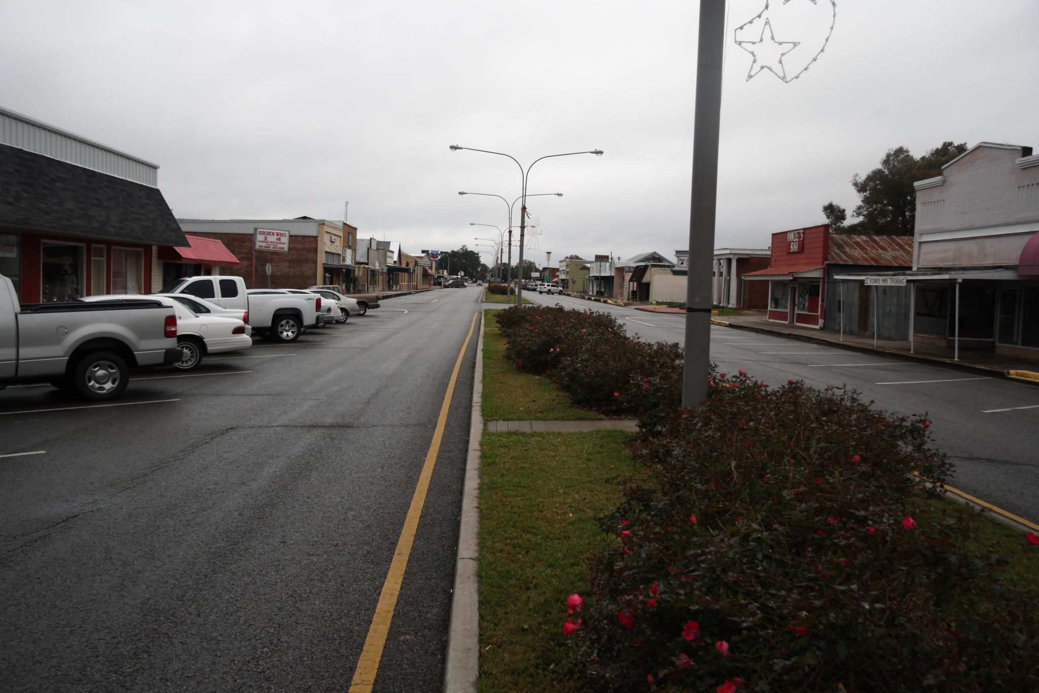
Downtown Kaplan

Abbeville Park
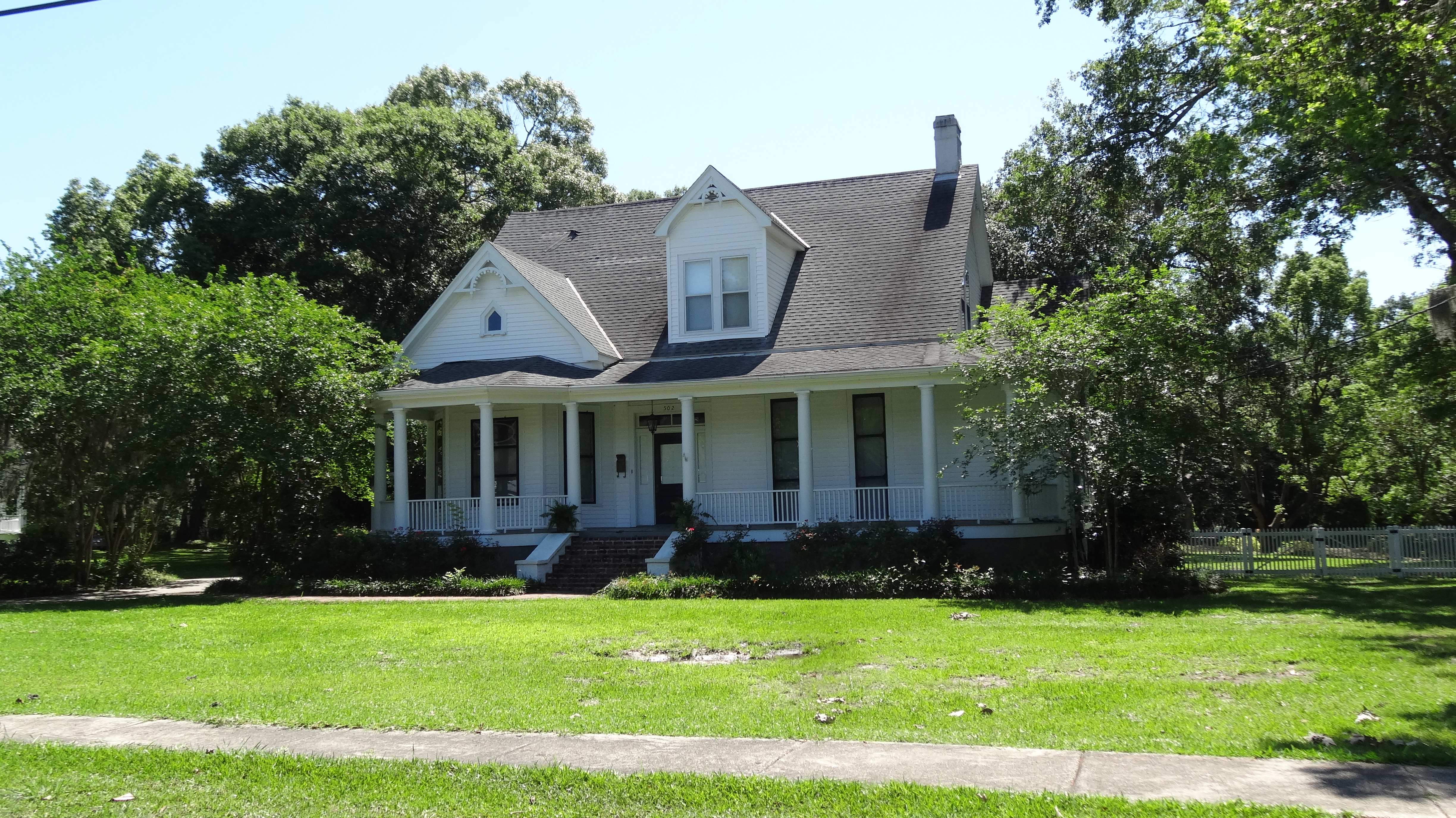
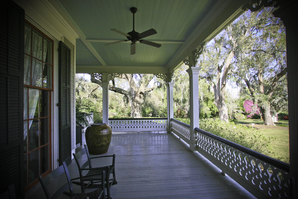
Abbeville, LA
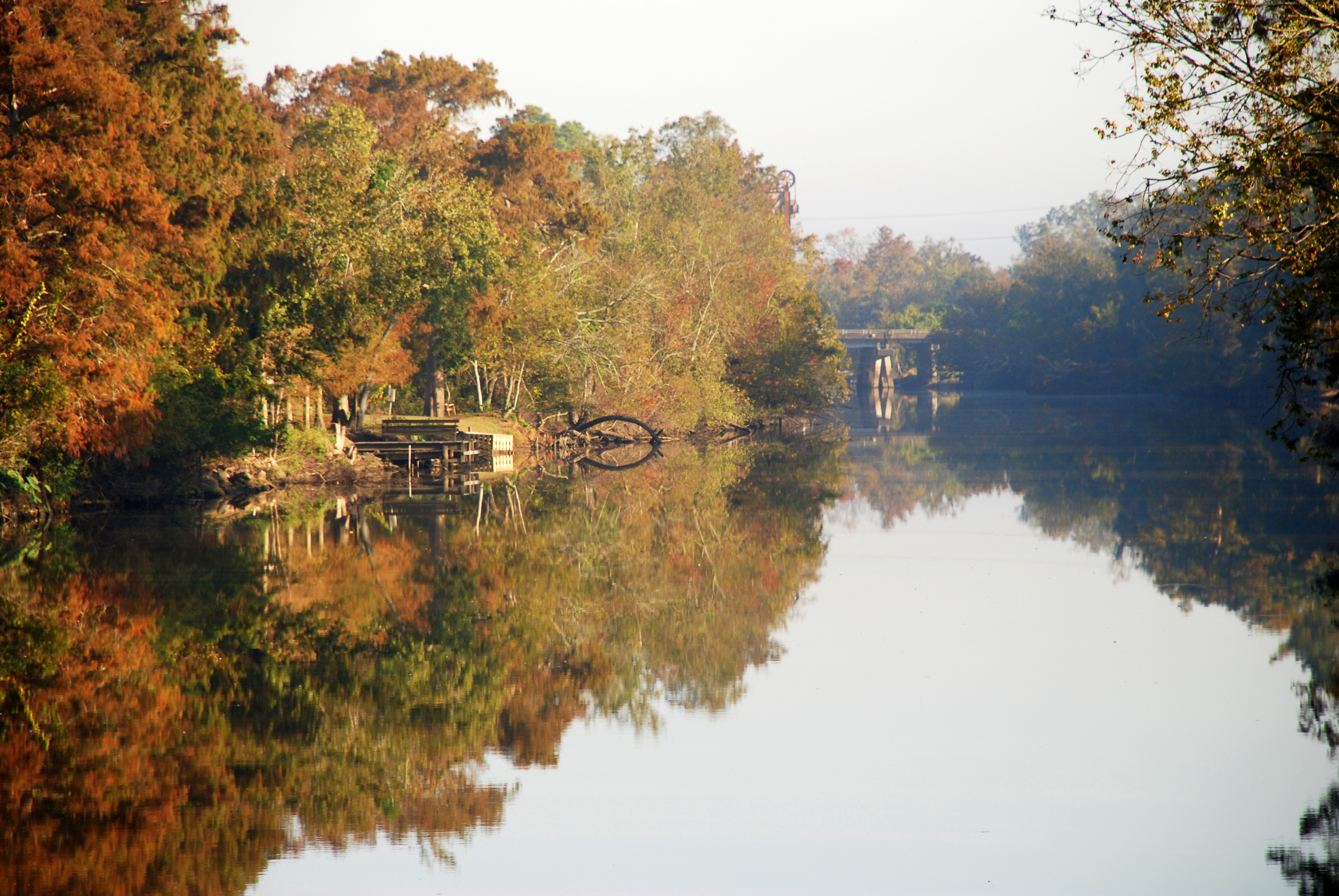
Vermilion River Reflections
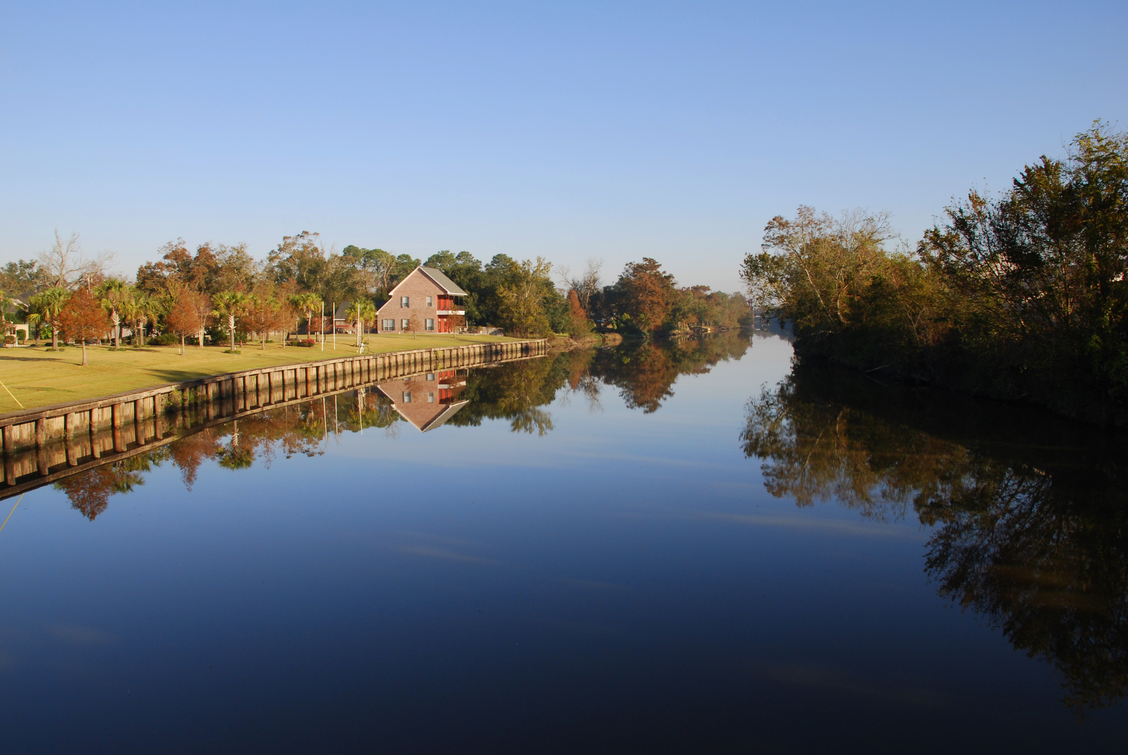
Vermilion River Reflections

Cajun Sunset
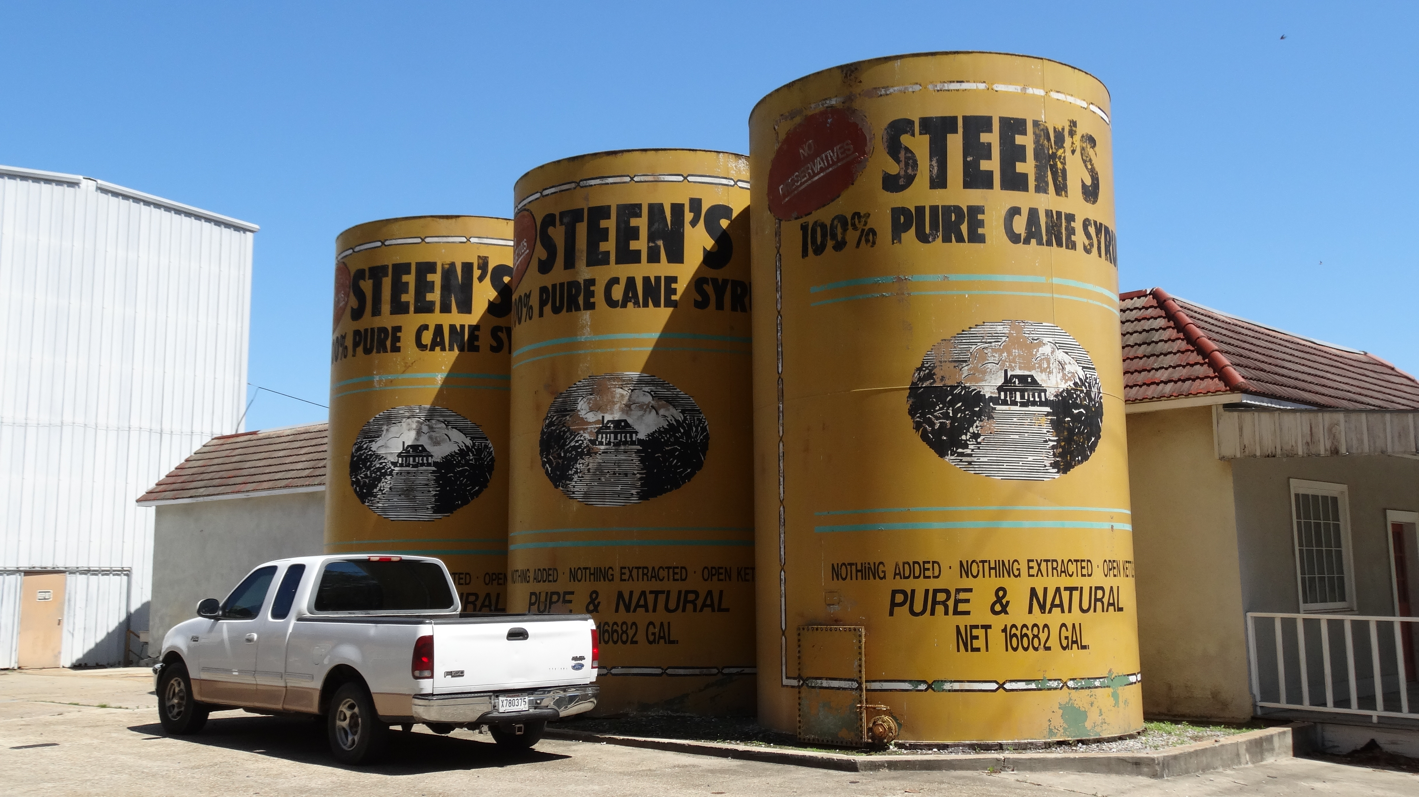
Steen's Pure Cane Syrup, Abbeville, LA

A very green swamp

DSC00395.JPG

Our place at Abbeville RV Park
JeffersonIsland-71.jpg
JeffersonIsland-2.jpg
JeffersonIsland-22.jpg
Camera Roll-34
Camera Roll-31
Camera Roll-35

IMG_4917 -- Rip Van Winkle Gardens - Jefferson Island, LA

Lake Peigneur well site-2
Topographic Map of S State St, Abbeville, LA, USA
Find elevation by address:

Places near S State St, Abbeville, LA, USA:
1403 S Jefferson St
5, LA, USA
409 E Martin Luther King Jr Dr
403 4th St
Eaton Drive
804 S Guegnon St
500 S Main St
4, LA, USA
Abbeville
N St Charles St, Abbeville, LA, USA
105 N East St
211 N Washington St
407 Senior Alley
Perry
608 Thomas St
704 Thomas St
804 Thomas St
310 Joffre Ave
Highway 14 East
906 Thomas St
Recent Searches:
- Elevation of Corso Fratelli Cairoli, 35, Macerata MC, Italy
- Elevation of Tallevast Rd, Sarasota, FL, USA
- Elevation of 4th St E, Sonoma, CA, USA
- Elevation of Black Hollow Rd, Pennsdale, PA, USA
- Elevation of Oakland Ave, Williamsport, PA, USA
- Elevation of Pedrógão Grande, Portugal
- Elevation of Klee Dr, Martinsburg, WV, USA
- Elevation of Via Roma, Pieranica CR, Italy
- Elevation of Tavkvetili Mountain, Georgia
- Elevation of Hartfords Bluff Cir, Mt Pleasant, SC, USA