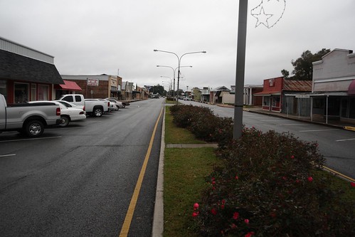
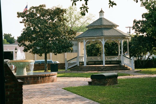
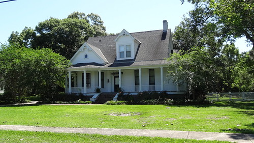
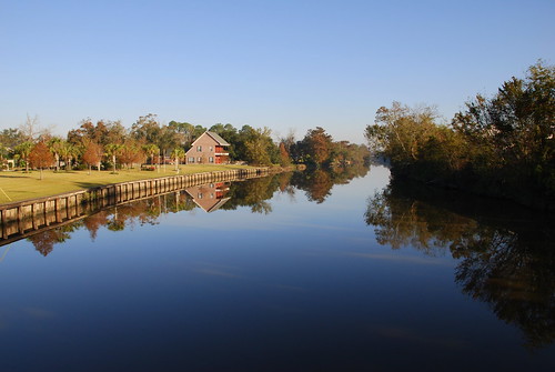
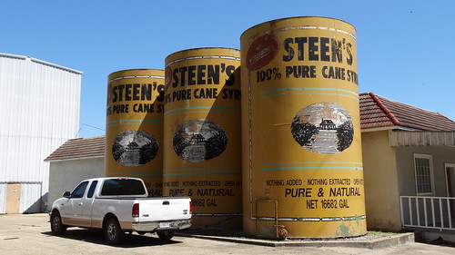
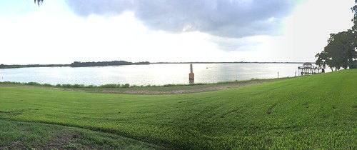
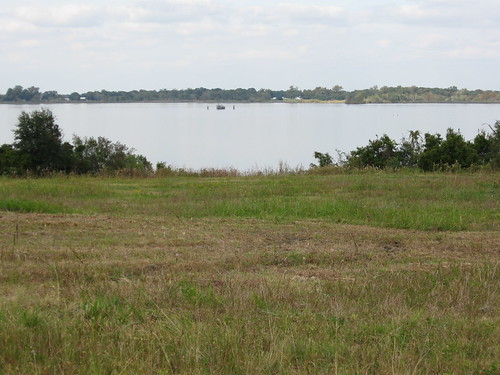
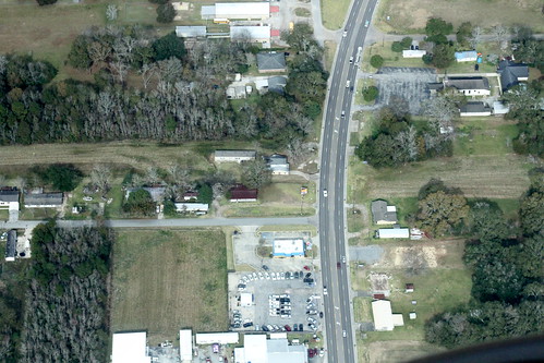
Elevation of S Jefferson St, Abbeville, LA, USA
Location: United States > Louisiana > Vermilion Parish > > Abbeville >
Longitude: -92.140037
Latitude: 29.9623833
Elevation: 4m / 13feet
Barometric Pressure: 101KPa
Related Photos:
Topographic Map of S Jefferson St, Abbeville, LA, USA
Find elevation by address:

Places near S Jefferson St, Abbeville, LA, USA:
1509 S State St
5, LA, USA
403 4th St
409 E Martin Luther King Jr Dr
500 S Main St
Eaton Drive
804 S Guegnon St
4, LA, USA
Abbeville
N St Charles St, Abbeville, LA, USA
211 N Washington St
105 N East St
407 Senior Alley
608 Thomas St
704 Thomas St
804 Thomas St
310 Joffre Ave
906 Thomas St
405 Park Ave
1005 Thomas St
Recent Searches:
- Elevation of Corso Fratelli Cairoli, 35, Macerata MC, Italy
- Elevation of Tallevast Rd, Sarasota, FL, USA
- Elevation of 4th St E, Sonoma, CA, USA
- Elevation of Black Hollow Rd, Pennsdale, PA, USA
- Elevation of Oakland Ave, Williamsport, PA, USA
- Elevation of Pedrógão Grande, Portugal
- Elevation of Klee Dr, Martinsburg, WV, USA
- Elevation of Via Roma, Pieranica CR, Italy
- Elevation of Tavkvetili Mountain, Georgia
- Elevation of Hartfords Bluff Cir, Mt Pleasant, SC, USA
