Elevation of Thomas St, Abbeville, LA, USA
Location: United States > Louisiana > Vermilion Parish > > Abbeville >
Longitude: -92.148672
Latitude: 29.9786807
Elevation: 3m / 10feet
Barometric Pressure: 101KPa
Elevation Map:
Satellite Map:
Related Photos:

Barbed With A View

Shucks!

Downtown Kaplan

Abbeville Park
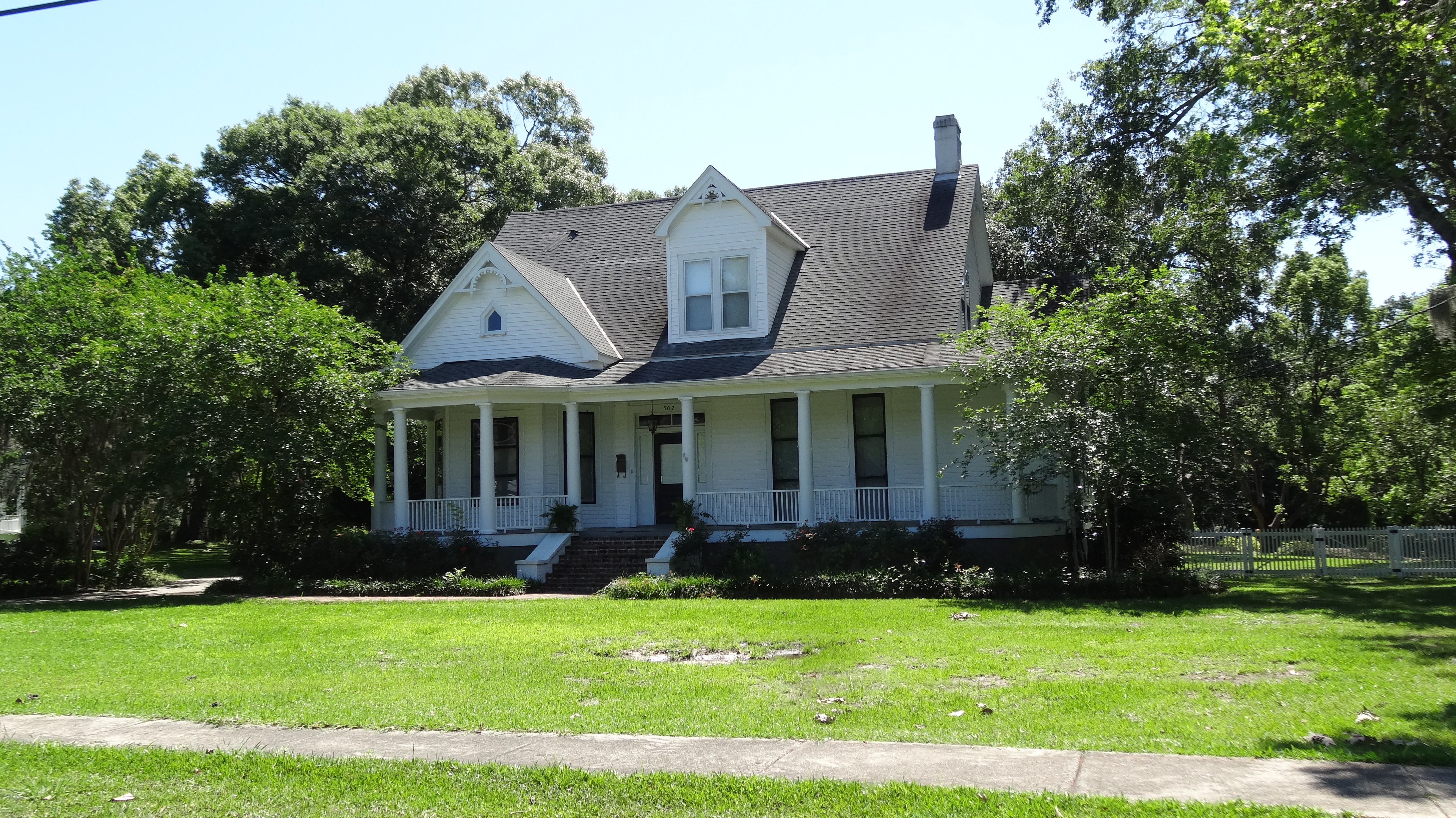
Abbeville, LA

Vermilion River Reflections

Cajun Sunset

Steen's Pure Cane Syrup, Abbeville, LA

Giant Banana spider on a web

A very green swamp
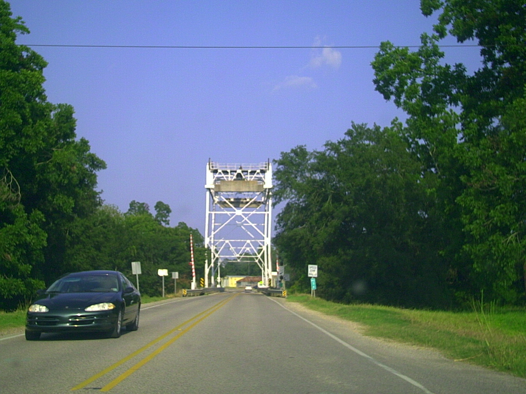
Milton LA Bridge

Our place at Abbeville RV Park

a IMG_1550

a IMG_1540
Topographic Map of Thomas St, Abbeville, LA, USA
Find elevation by address:

Places near Thomas St, Abbeville, LA, USA:
804 Thomas St
310 Joffre Ave
704 Thomas St
1005 Thomas St
303 Camp St
608 Thomas St
1202 Morgan St
1100 Allen Alexander Street
Allen Alexander Street
1107 Allen Alexander Street
1106 Allen Alexander Street
1108 Allen Alexander Street
407 Senior Alley
1110 Allen Alexander Street
1210 Old Kaplan Hwy
405 Park Ave
305 W St Mary St
305 W St Mary St
211 N Washington St
Abbeville
Recent Searches:
- Elevation of Corso Fratelli Cairoli, 35, Macerata MC, Italy
- Elevation of Tallevast Rd, Sarasota, FL, USA
- Elevation of 4th St E, Sonoma, CA, USA
- Elevation of Black Hollow Rd, Pennsdale, PA, USA
- Elevation of Oakland Ave, Williamsport, PA, USA
- Elevation of Pedrógão Grande, Portugal
- Elevation of Klee Dr, Martinsburg, WV, USA
- Elevation of Via Roma, Pieranica CR, Italy
- Elevation of Tavkvetili Mountain, Georgia
- Elevation of Hartfords Bluff Cir, Mt Pleasant, SC, USA