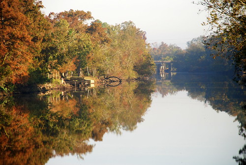
Elevation of Perry, LA, USA
Location: United States > Louisiana > Vermilion Parish > >
Longitude: -92.157070
Latitude: 29.9485399
Elevation: 2m / 7feet
Barometric Pressure: 101KPa
Related Photos:
Topographic Map of Perry, LA, USA
Find elevation by address:

Places near Perry, LA, USA:
Eaton Drive
1509 S State St
1403 S Jefferson St
5, LA, USA
Louisiana 694
403 4th St
500 S Main St
409 E Martin Luther King Jr Dr
804 S Guegnon St
1005 Thomas St
303 Camp St
906 Thomas St
4, LA, USA
1202 Morgan St
804 Thomas St
704 Thomas St
608 Thomas St
310 Joffre Ave
14116 Melrose Rd
407 Senior Alley
Recent Searches:
- Elevation of Corso Fratelli Cairoli, 35, Macerata MC, Italy
- Elevation of Tallevast Rd, Sarasota, FL, USA
- Elevation of 4th St E, Sonoma, CA, USA
- Elevation of Black Hollow Rd, Pennsdale, PA, USA
- Elevation of Oakland Ave, Williamsport, PA, USA
- Elevation of Pedrógão Grande, Portugal
- Elevation of Klee Dr, Martinsburg, WV, USA
- Elevation of Via Roma, Pieranica CR, Italy
- Elevation of Tavkvetili Mountain, Georgia
- Elevation of Hartfords Bluff Cir, Mt Pleasant, SC, USA
