Elevation of S Main St, Columbia, AL, USA
Location: United States > Alabama > Houston County > Columbia >
Longitude: -85.111781
Latitude: 31.2922967
Elevation: 65m / 213feet
Barometric Pressure: 101KPa
Elevation Map:
Satellite Map:
Related Photos:
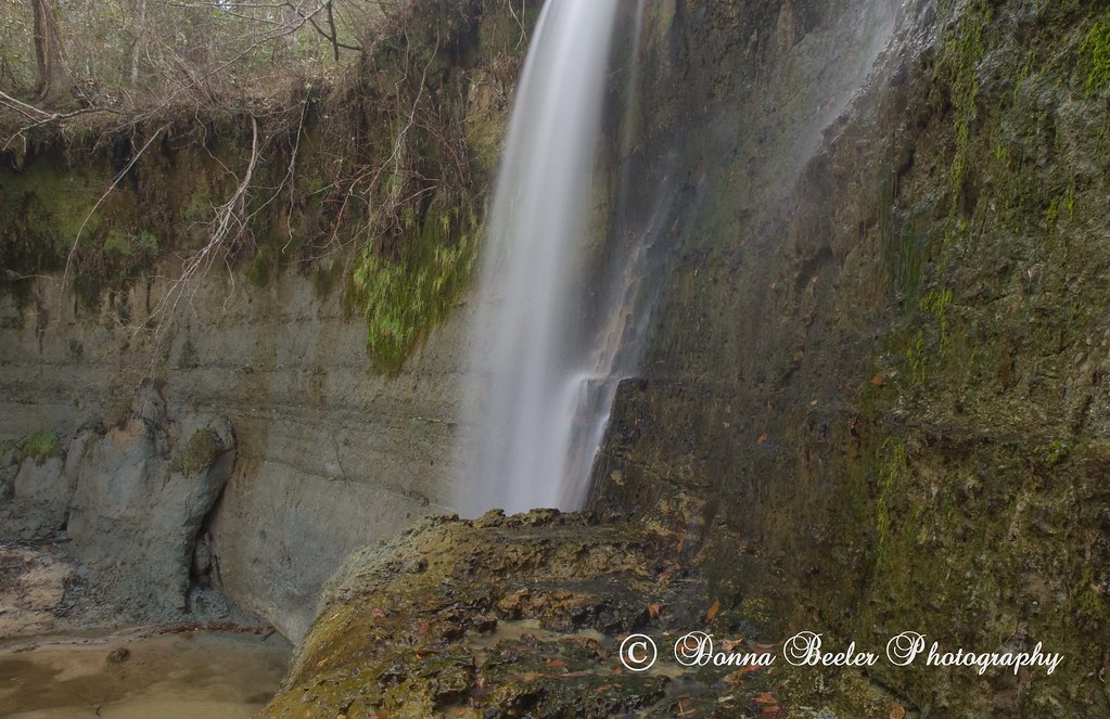
Hidden Falls, outside Haleburg Alabama

Coheelee Creek Covered Bridge
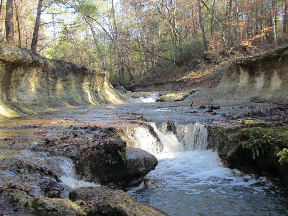
Coheelee Creek
Coheelee Creek 1 Hilton GA

Bridge and waterfall
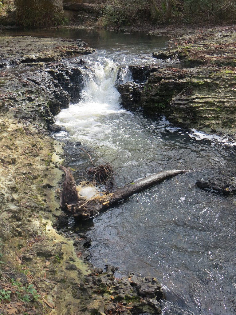
1789 Water falls Img_8541
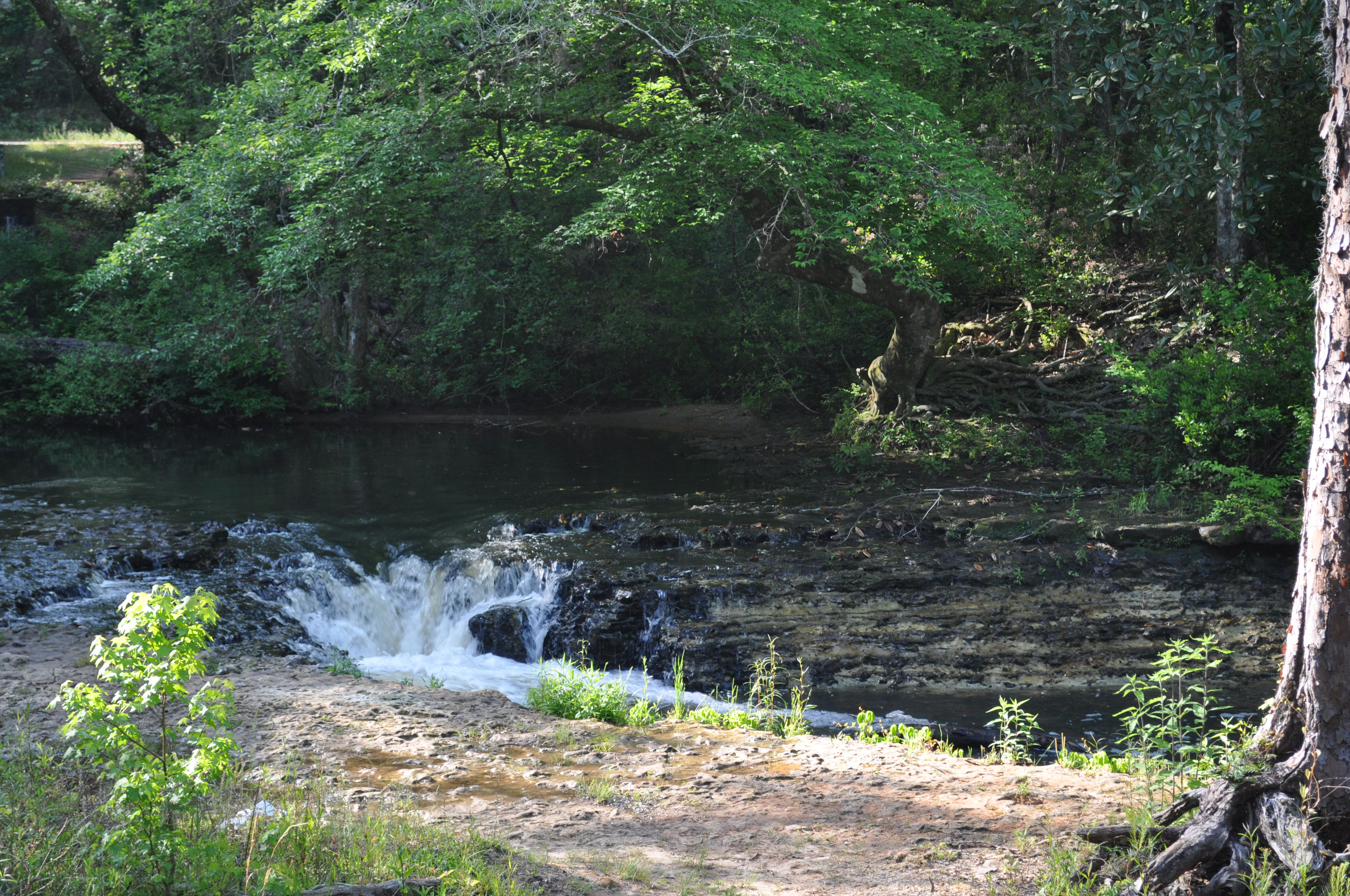
Coheelee Creek 2 Hilton GA

covered bridge vertical
covered bridge horizontal
Topographic Map of S Main St, Columbia, AL, USA
Find elevation by address:

Places near S Main St, Columbia, AL, USA:
Columbia
Chattahoochee River
Old River Rd, Blakely, GA, USA
Benton Store Rd, Ashford, AL, USA
J D Love Road
Columbia Hwy, Blakely, GA, USA
AL-52, Webb, AL, USA
Houston County 22, Ashford, AL, USA
AL-, Columbia, AL, USA
N County 55 Rd, Ashford, AL, USA
Gordon
Ardilla
108 Pinehurst Dr
Webb
Ashford
Co Rd 26, Headland, AL, USA
11073 Co Rd 65
Henry County
75 Johnnie Ingram Rd, Webb, AL, USA
Bluffsprings Road
Recent Searches:
- Elevation of Corso Fratelli Cairoli, 35, Macerata MC, Italy
- Elevation of Tallevast Rd, Sarasota, FL, USA
- Elevation of 4th St E, Sonoma, CA, USA
- Elevation of Black Hollow Rd, Pennsdale, PA, USA
- Elevation of Oakland Ave, Williamsport, PA, USA
- Elevation of Pedrógão Grande, Portugal
- Elevation of Klee Dr, Martinsburg, WV, USA
- Elevation of Via Roma, Pieranica CR, Italy
- Elevation of Tavkvetili Mountain, Georgia
- Elevation of Hartfords Bluff Cir, Mt Pleasant, SC, USA