Elevation of Houston County 22, Ashford, AL, USA
Location: United States > Alabama > Houston County > Ashford >
Longitude: -85.230762
Latitude: 31.3045226
Elevation: 88m / 289feet
Barometric Pressure: 100KPa
Elevation Map:
Satellite Map:
Related Photos:

Back to School

Can't No Preacherman Save My Soul
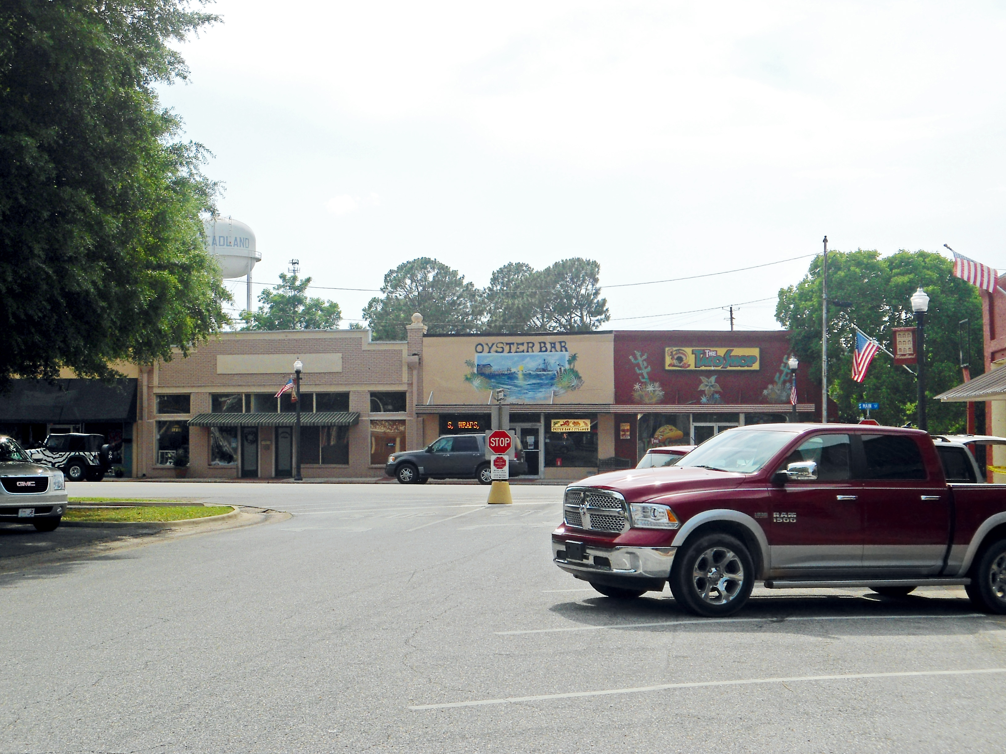
Downtown, Headland, Alabama

Coheelee Creek Covered Bridge
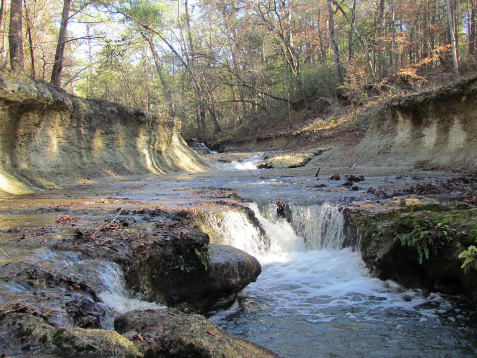
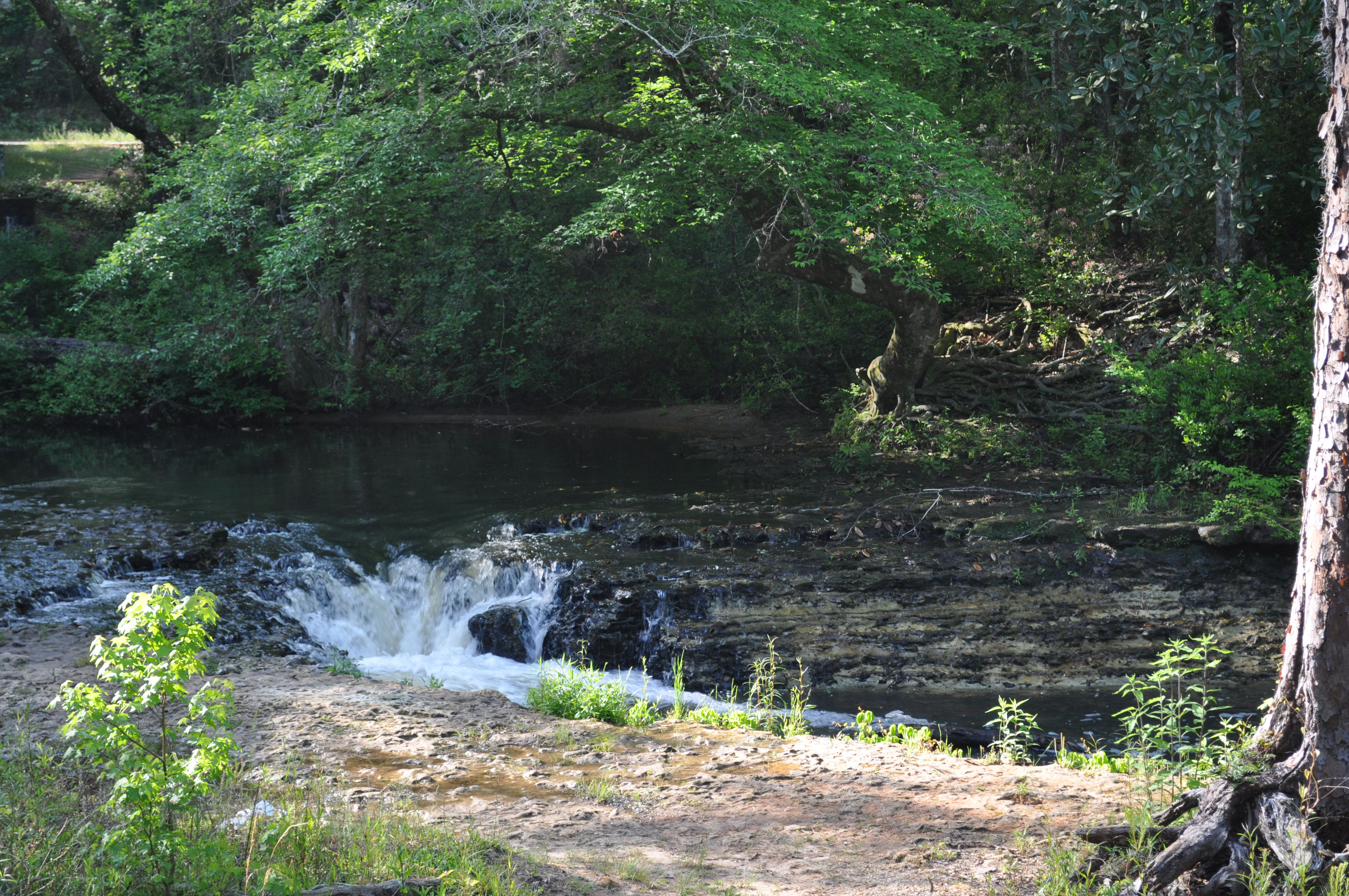
Coheelee Creek
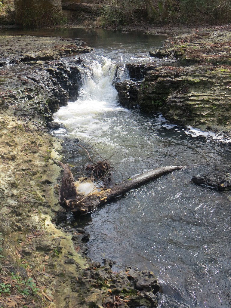
1789 Water falls Img_8541
Coheelee Creek 1 Hilton GA

Bridge and waterfall

Day 9 (365-2)

Doing it the old fashioned way!
Day 9 (365)

Our Front Yard

covered bridge vertical
covered bridge horizontal
Coheelee Creek 2 Hilton GA
Topographic Map of Houston County 22, Ashford, AL, USA
Find elevation by address:

Places near Houston County 22, Ashford, AL, USA:
J D Love Road
Benton Store Rd, Ashford, AL, USA
AL-52, Webb, AL, USA
AL-, Columbia, AL, USA
Webb
N County 55 Rd, Ashford, AL, USA
75 Johnnie Ingram Rd, Webb, AL, USA
108 Pinehurst Dr
Clara St, Cowarts, AL, USA
Co Rd 26, Headland, AL, USA
307 Peachtree St
Bluffsprings Road
S Main St, Columbia, AL, USA
Columbia
Headland
Ashford
Omussee C & D Landfill
4253 Kinsey Rd
AL-12, Avon, AL, USA
Avon
Recent Searches:
- Elevation of Corso Fratelli Cairoli, 35, Macerata MC, Italy
- Elevation of Tallevast Rd, Sarasota, FL, USA
- Elevation of 4th St E, Sonoma, CA, USA
- Elevation of Black Hollow Rd, Pennsdale, PA, USA
- Elevation of Oakland Ave, Williamsport, PA, USA
- Elevation of Pedrógão Grande, Portugal
- Elevation of Klee Dr, Martinsburg, WV, USA
- Elevation of Via Roma, Pieranica CR, Italy
- Elevation of Tavkvetili Mountain, Georgia
- Elevation of Hartfords Bluff Cir, Mt Pleasant, SC, USA