Elevation of Headland, AL, USA
Location: United States > Alabama > Henry County >
Longitude: -85.342155
Latitude: 31.351284
Elevation: 115m / 377feet
Barometric Pressure: 100KPa
Elevation Map:
Satellite Map:
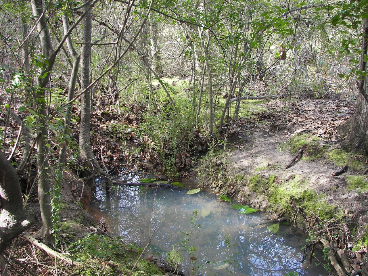
Related Photos:

Back to School

Can't No Preacherman Save My Soul
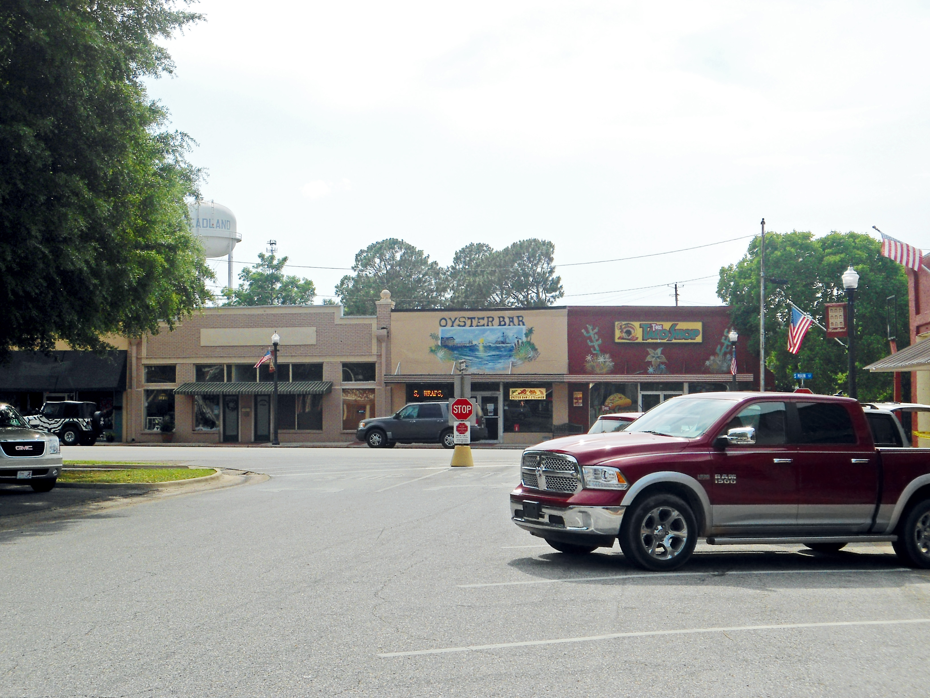
Downtown, Headland, Alabama

MK1 Westy Rabbit Diesel

The view from my other "study"... Dakota Coffee Works on W Main... #studying #scripture #fountainpen #lamyvista #diamine
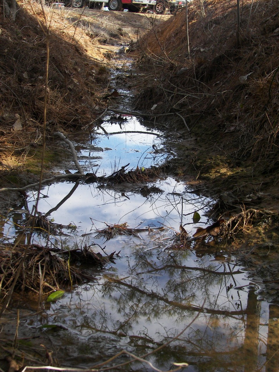
dothan,noah'srm 027
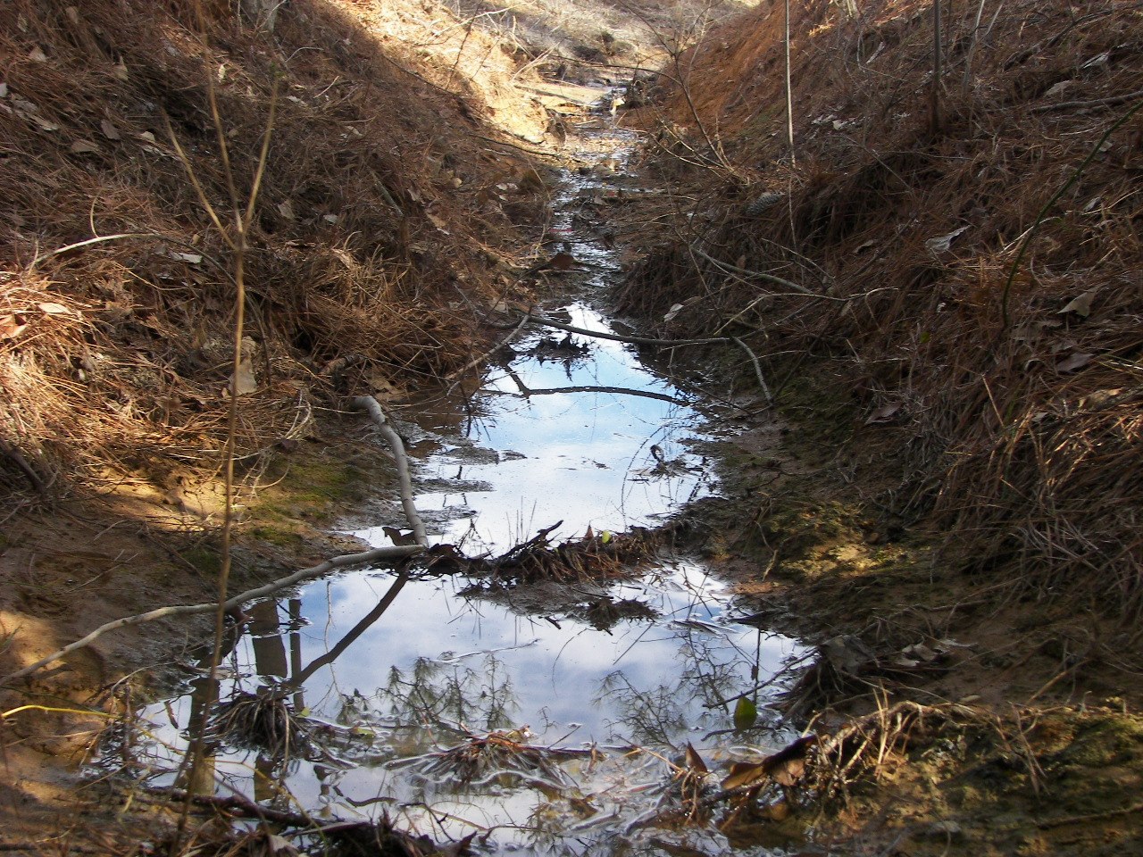
dothan,noah'srm 026
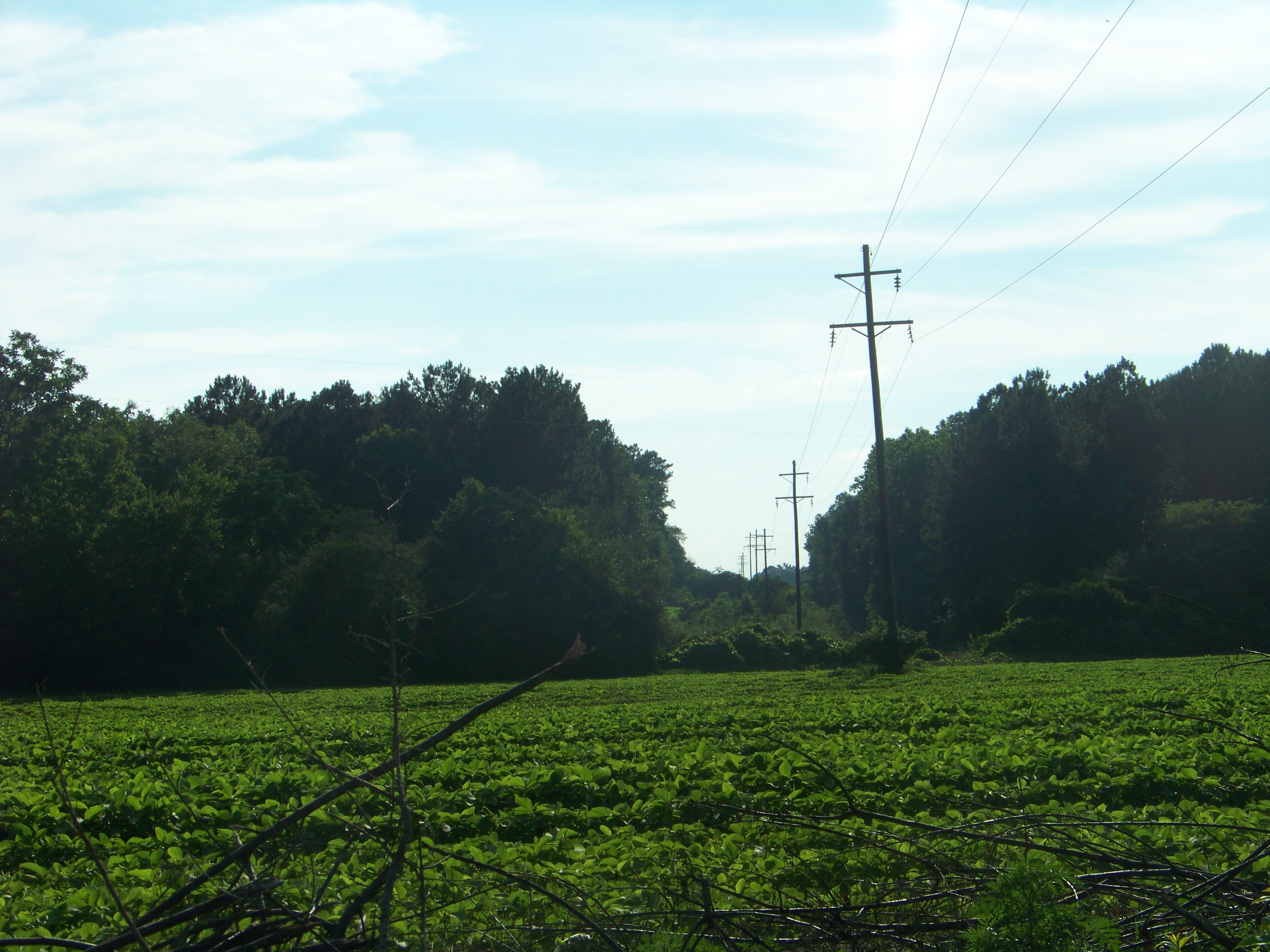
Rural Alabama Powerline..........

Koi Pond
dothan,noah'srm 015
Oranges by the fire hydrant in the parking lot... ???????? #odd #oranges
Day 9 (365-2)

Doing it the old fashioned way!
Day 9 (365)
dothan,noah'srm 028

Our Front Yard
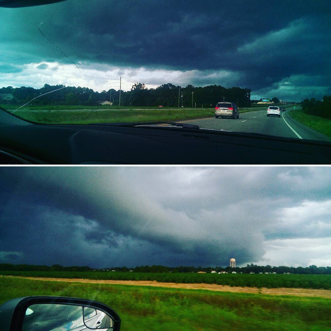
Ran into these scary looking clouds on the way home.... ???? #thunderstorm #weather #stormclouds #driving #twitter
dothan,noah'srm 014
Topographic Map of Headland, AL, USA
Find elevation by address:

Places in Headland, AL, USA:
Places near Headland, AL, USA:
307 Peachtree St
Newville
N Railroad St, Newville, AL, USA
18 Henry County 44, Headland, AL, USA
Omussee C & D Landfill
4253 Kinsey Rd
3964 Kinsey Rd
3942 Kinsey Rd
Co Rd 73, Headland, AL, USA
Liberty Ct, Dothan, AL, USA
397 Co Rd 122
Airport Drive
Webb
Dothan Regional Airport
Grimes
Woodcliff Rd, Dothan, AL, USA
Co Rd, Dothan, AL, USA
Napier Field
State St, Dothan, AL, USA
Houston County 22, Ashford, AL, USA
Recent Searches:
- Elevation of Corso Fratelli Cairoli, 35, Macerata MC, Italy
- Elevation of Tallevast Rd, Sarasota, FL, USA
- Elevation of 4th St E, Sonoma, CA, USA
- Elevation of Black Hollow Rd, Pennsdale, PA, USA
- Elevation of Oakland Ave, Williamsport, PA, USA
- Elevation of Pedrógão Grande, Portugal
- Elevation of Klee Dr, Martinsburg, WV, USA
- Elevation of Via Roma, Pieranica CR, Italy
- Elevation of Tavkvetili Mountain, Georgia
- Elevation of Hartfords Bluff Cir, Mt Pleasant, SC, USA