Elevation of 18 Henry County 44, Headland, AL, USA
| Latitude | 31.3871885 |
|---|---|
| Longitude | -85.407698 |
| Elevation | 105m / 344feet |
| Barometric Pressure | 1001KPa |
Related Photos:

Back to School

Can't No Preacherman Save My Soul
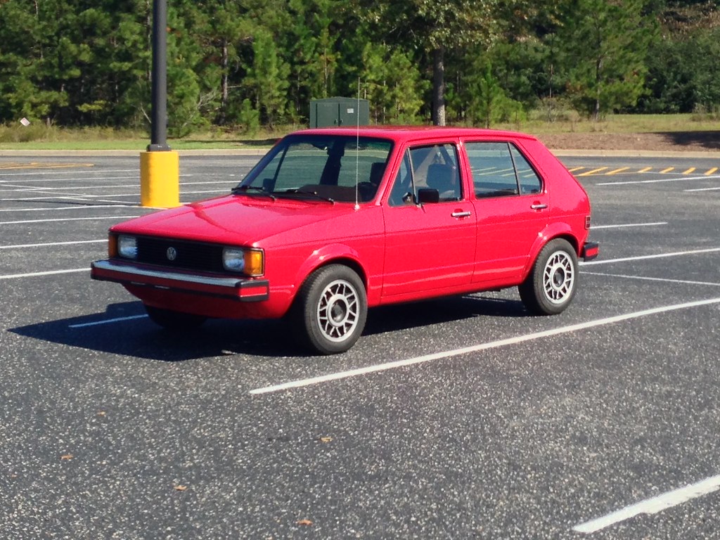
MK1 Westy Rabbit Diesel
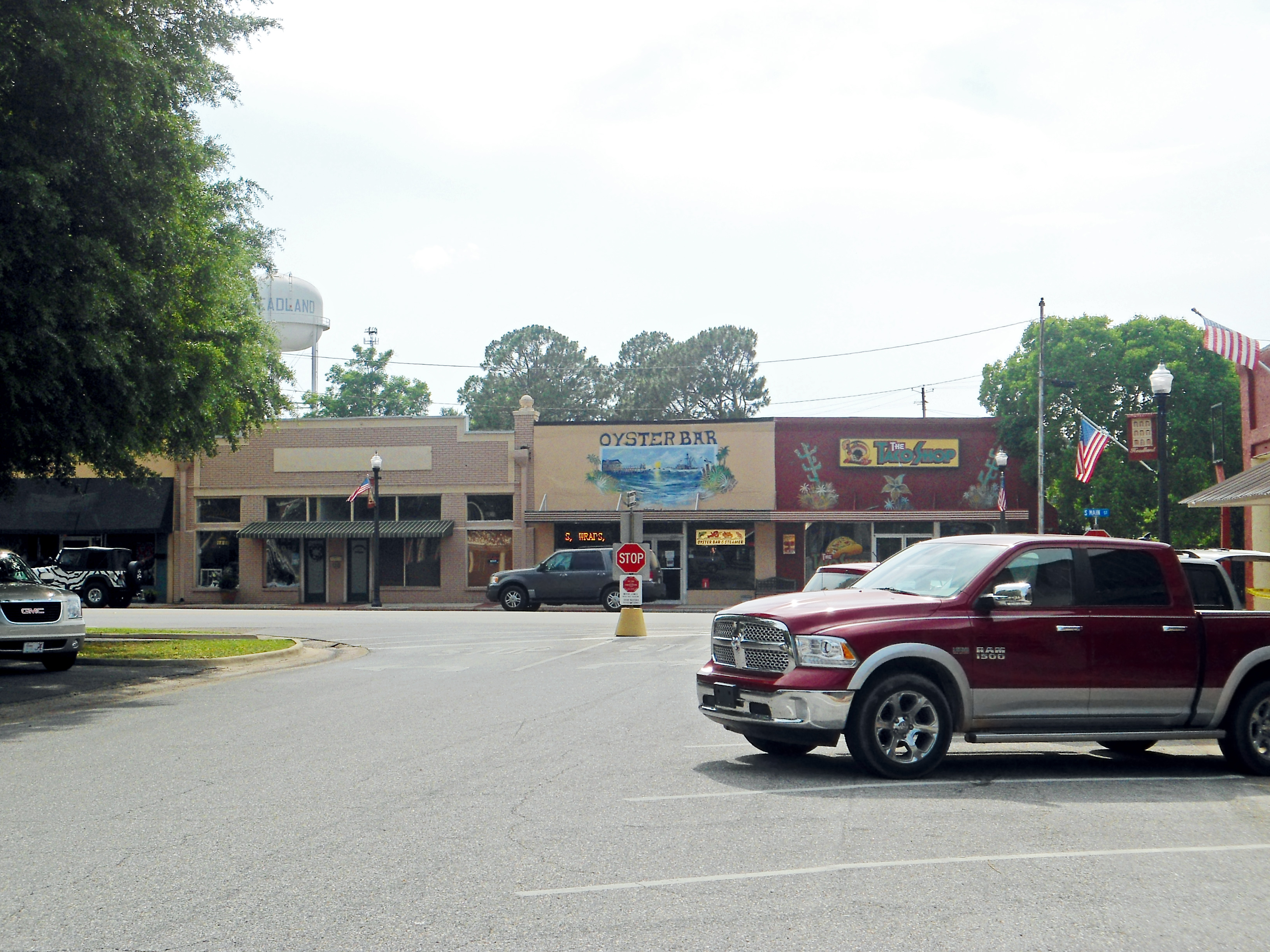
Downtown, Headland, Alabama

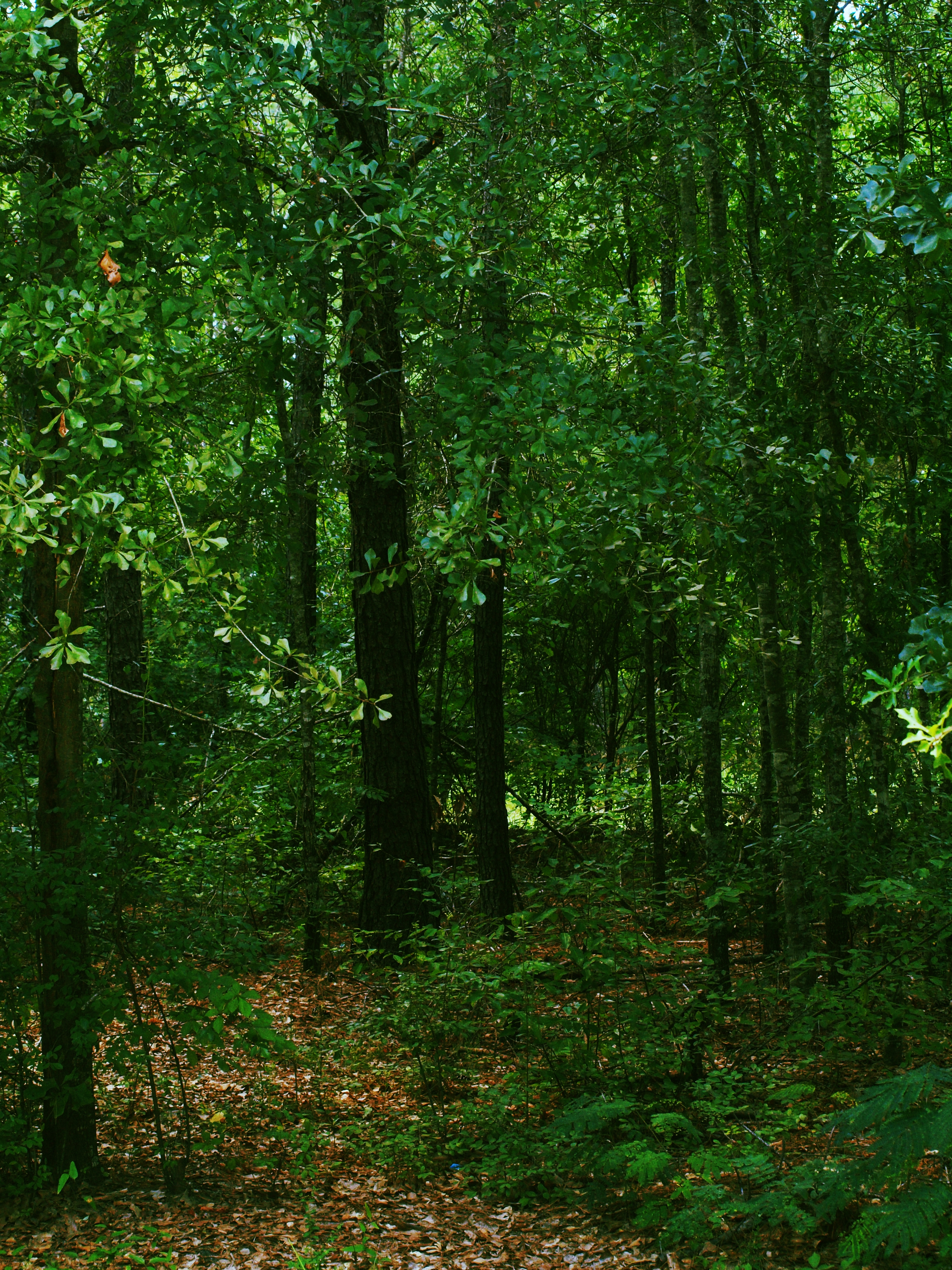
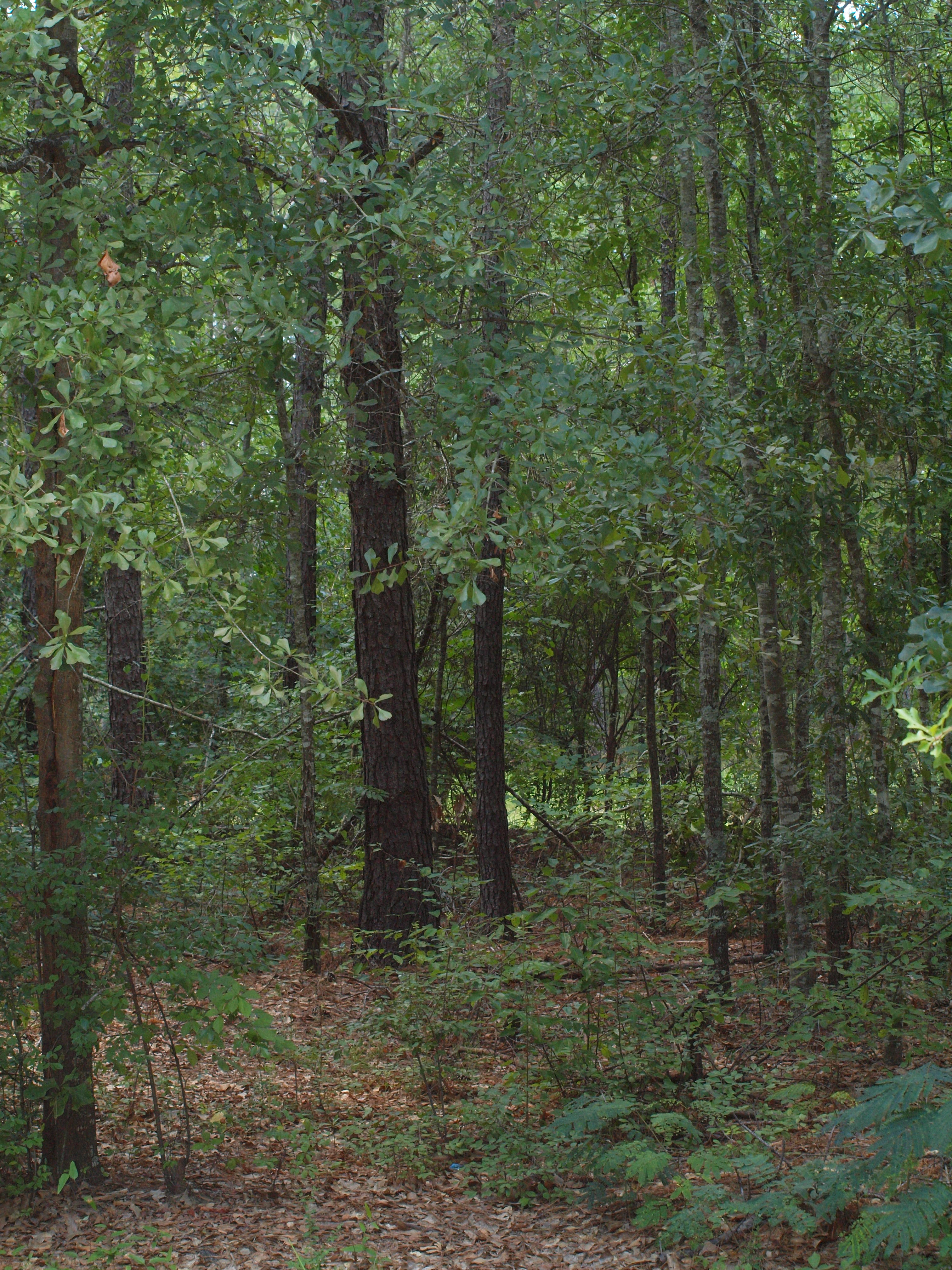
Mother Natures beauty
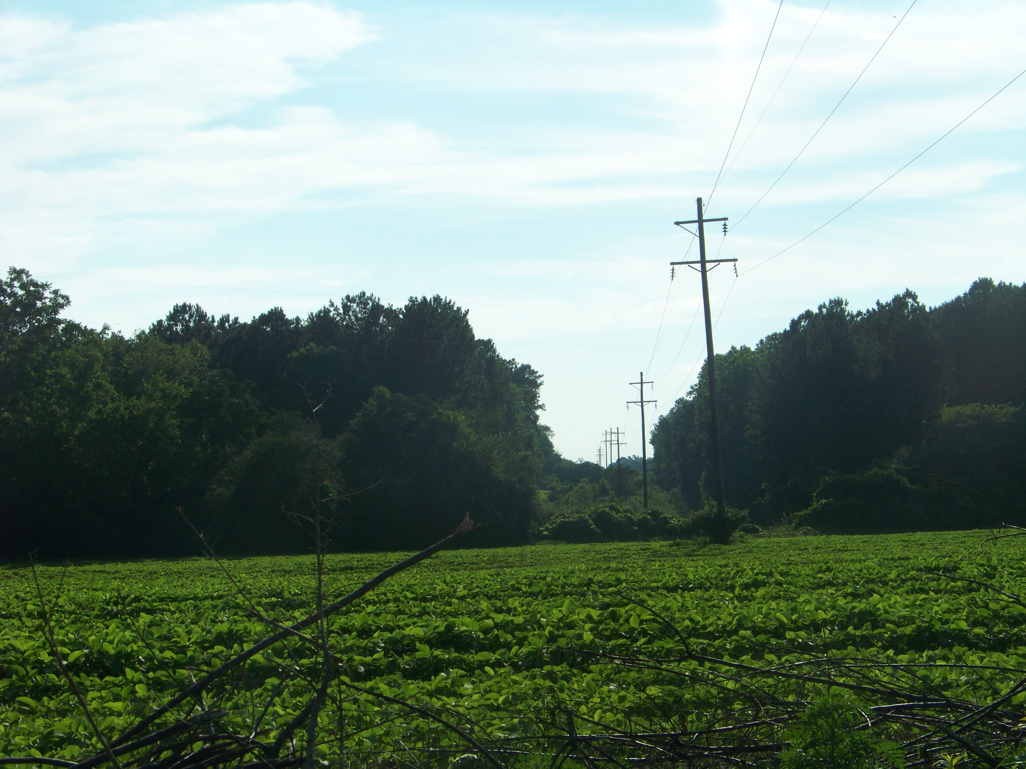
Rural Alabama Powerline..........

Koi Pond
Oranges by the fire hydrant in the parking lot... ???????? #odd #oranges
Day 9 (365-2)
Day 9 (365)

Our Front Yard
Topographic Map of 18 Henry County 44, Headland, AL, USA
Find elevation by address:
Places near 18 Henry County 44, Headland, AL, USA:
Co Rd 73, Headland, AL, USA
S County Rd 67, Midland City, AL, USA
Co Rd 14, Midland City, AL, USA
Headland
Newville
N Railroad St, Newville, AL, USA
Dothan Regional Airport
307 Peachtree St
Airport Drive
Napier Field
State St, Dothan, AL, USA
372 Co Rd 61
Grimes
Co Rd, Dothan, AL, USA
52 Canterbury Ct
3792 Mance Newton Rd
Midland City
Woodcliff Rd, Dothan, AL, USA
Gran Berry Dr, Dothan, AL, USA
S Co Rd, Midland City, AL, USA
Recent Searches:
- Elevation of 104, Chancery Road, Middletown Township, Bucks County, Pennsylvania, 19047, USA
- Elevation of 1212, Cypress Lane, Dayton, Liberty County, Texas, 77535, USA
- Elevation map of Central Hungary, Hungary
- Elevation map of Pest, Central Hungary, Hungary
- Elevation of Pilisszentkereszt, Pest, Central Hungary, Hungary
- Elevation of Dharamkot Tahsil, Punjab, India
- Elevation of Bhinder Khurd, Dharamkot Tahsil, Punjab, India
- Elevation of 2881, Chabot Drive, San Bruno, San Mateo County, California, 94066, USA
- Elevation of 10370, West 107th Circle, Westminster, Jefferson County, Colorado, 80021, USA
- Elevation of 611, Roman Road, Old Ford, Bow, London, England, E3 2RW, United Kingdom
- Elevation of 116, Beartown Road, Underhill, Chittenden County, Vermont, 05489, USA
- Elevation of Window Rock, Colfax County, New Mexico, 87714, USA
- Elevation of 4807, Rosecroft Street, Kempsville Gardens, Virginia Beach, Virginia, 23464, USA
- Elevation map of Matawinie, Quebec, Canada
- Elevation of Sainte-Émélie-de-l'Énergie, Matawinie, Quebec, Canada
- Elevation of Rue du Pont, Sainte-Émélie-de-l'Énergie, Matawinie, Quebec, J0K2K0, Canada
- Elevation of 8, Rue de Bécancour, Blainville, Thérèse-De Blainville, Quebec, J7B1N2, Canada
- Elevation of Wilmot Court North, 163, University Avenue West, Northdale, Waterloo, Region of Waterloo, Ontario, N2L6B6, Canada
- Elevation map of Panamá Province, Panama
- Elevation of Balboa, Panamá Province, Panama