Elevation of AL-, Columbia, AL, USA
Location: United States > Alabama > Henry County >
Longitude: -85.219116
Latitude: 31.354918
Elevation: 93m / 305feet
Barometric Pressure: 100KPa
Elevation Map:
Satellite Map:
Related Photos:

Back to School

Can't No Preacherman Save My Soul
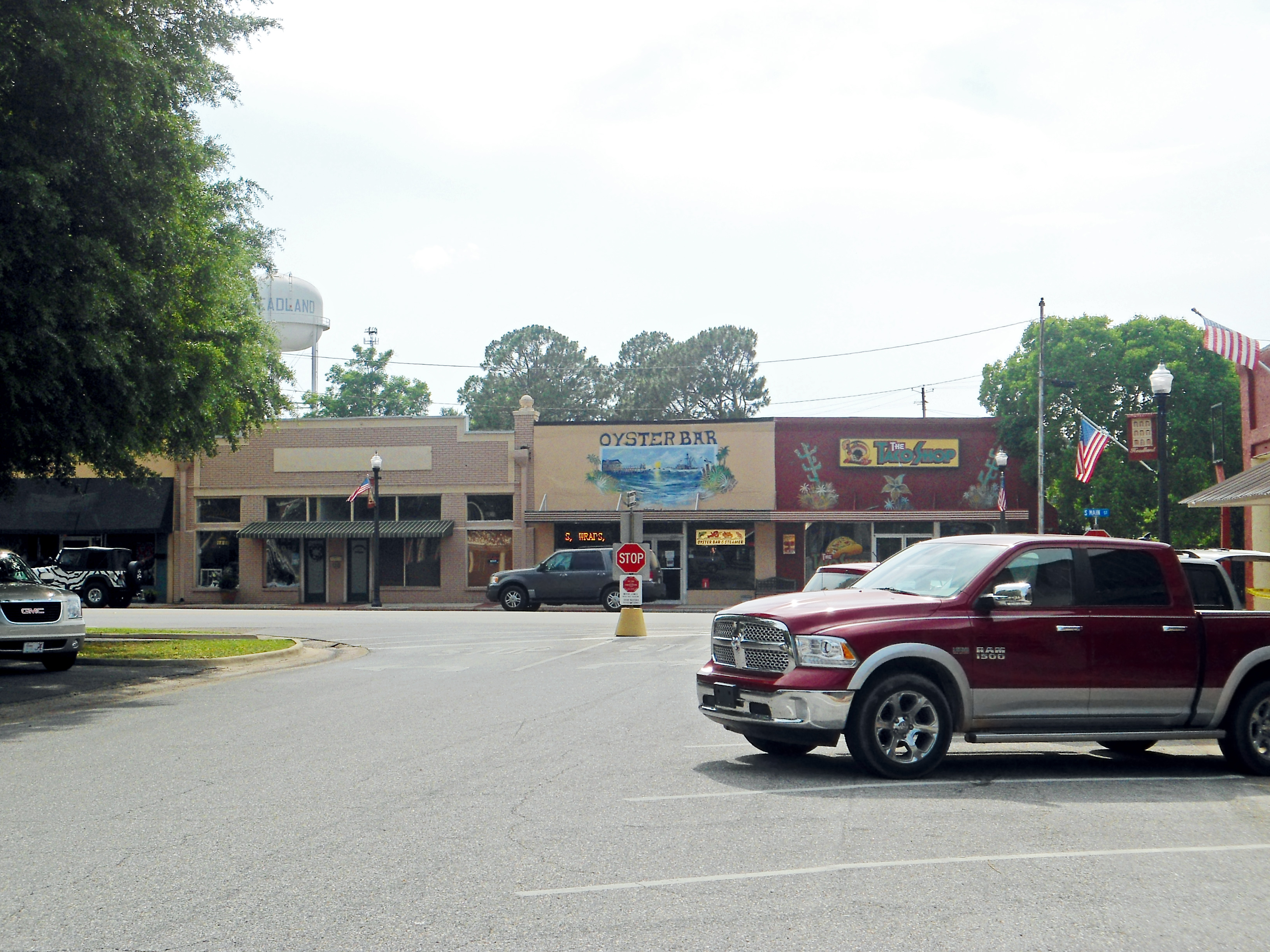
Downtown, Headland, Alabama
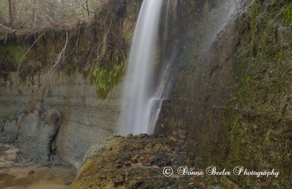
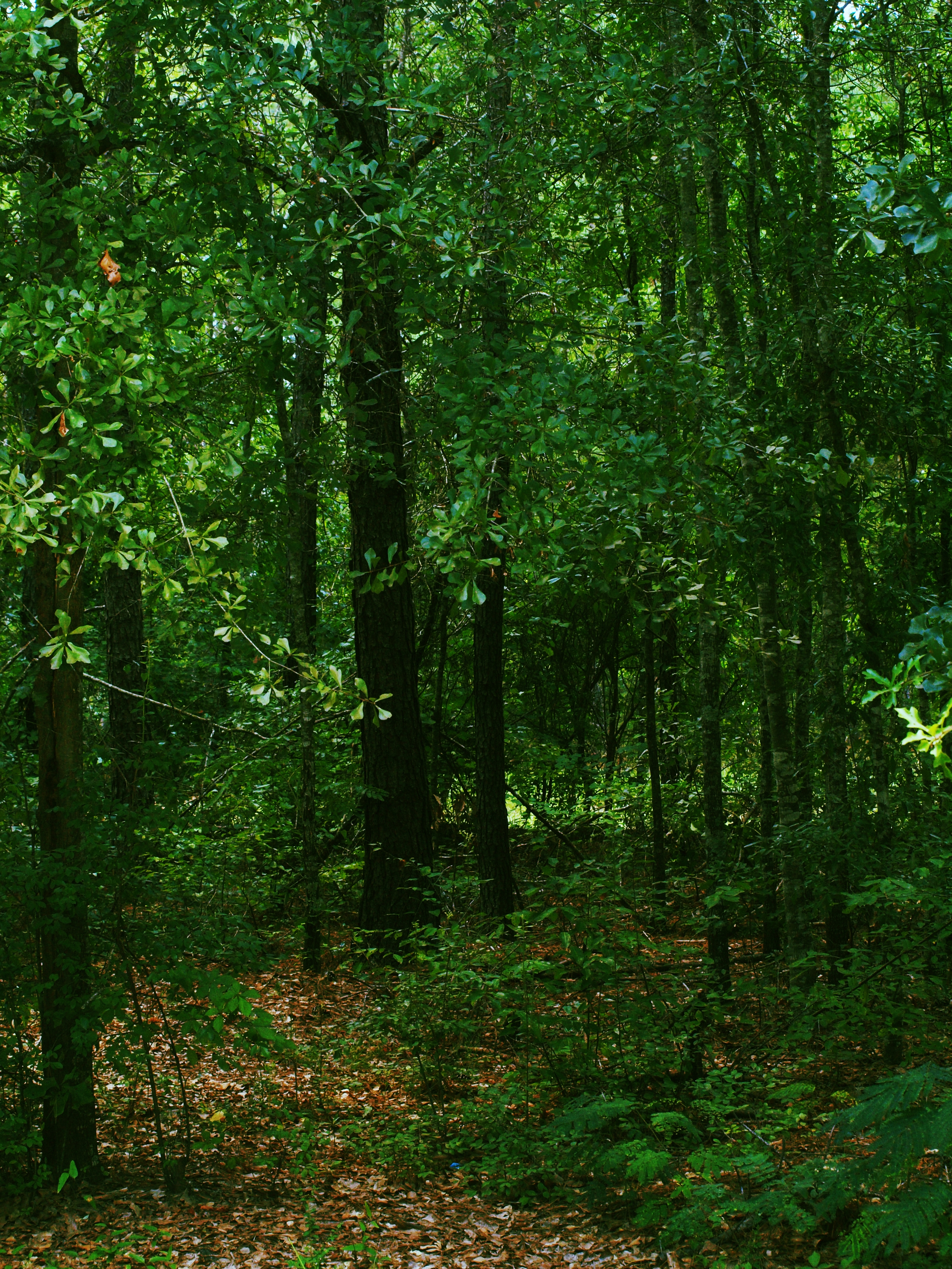
Hidden Falls, outside Haleburg Alabama

covered bridge vertical

Coheelee Creek Covered Bridge
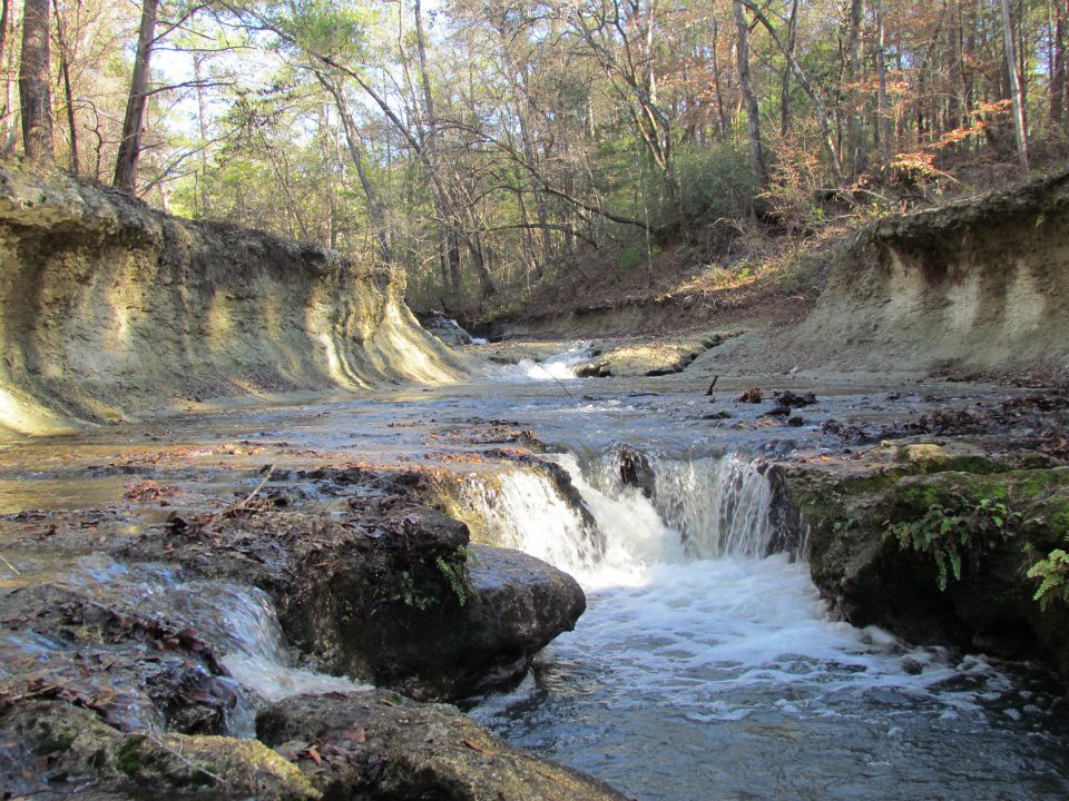
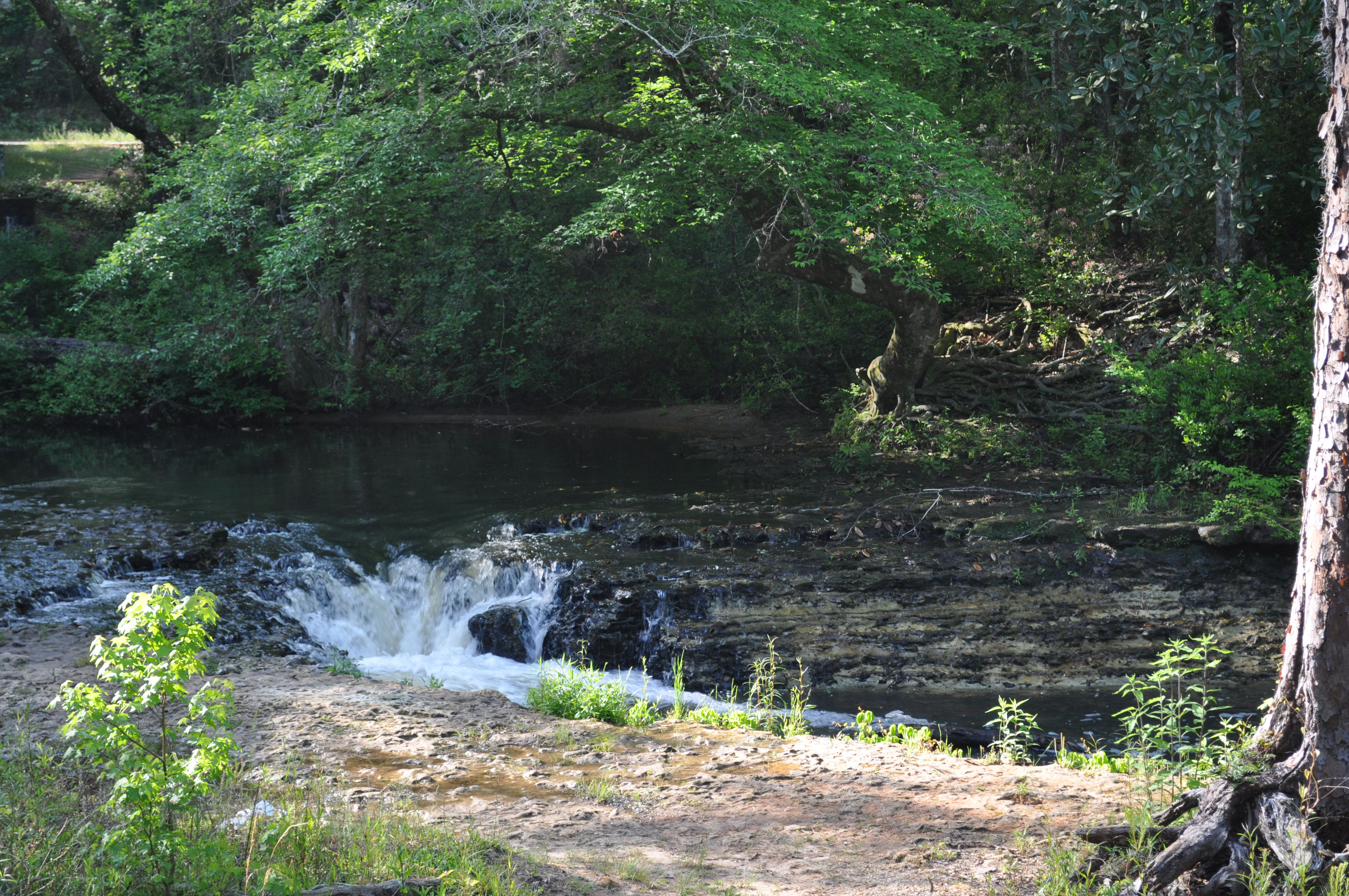
Coheelee Creek
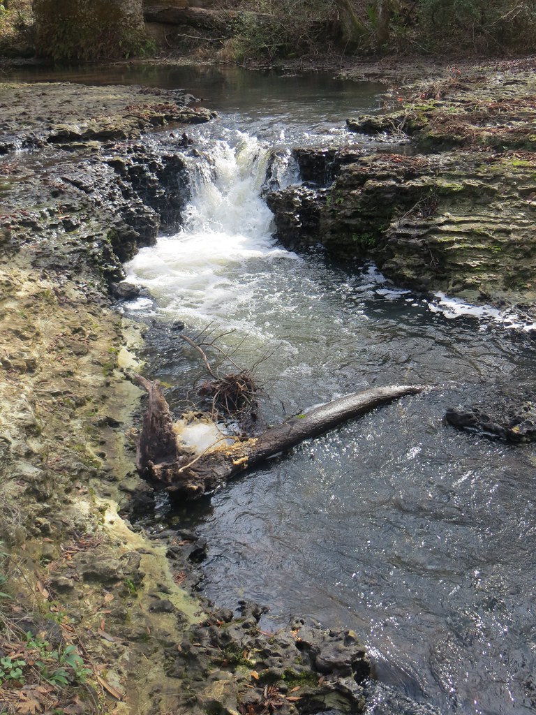
Coheelee Creek 1 Hilton GA

Bridge and waterfall
Day 9 (365-2)
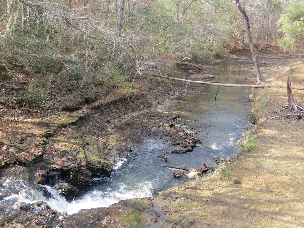
1789 Water falls Img_8541

Doing it the old fashioned way!
Coheelee Creek 2 Hilton GA
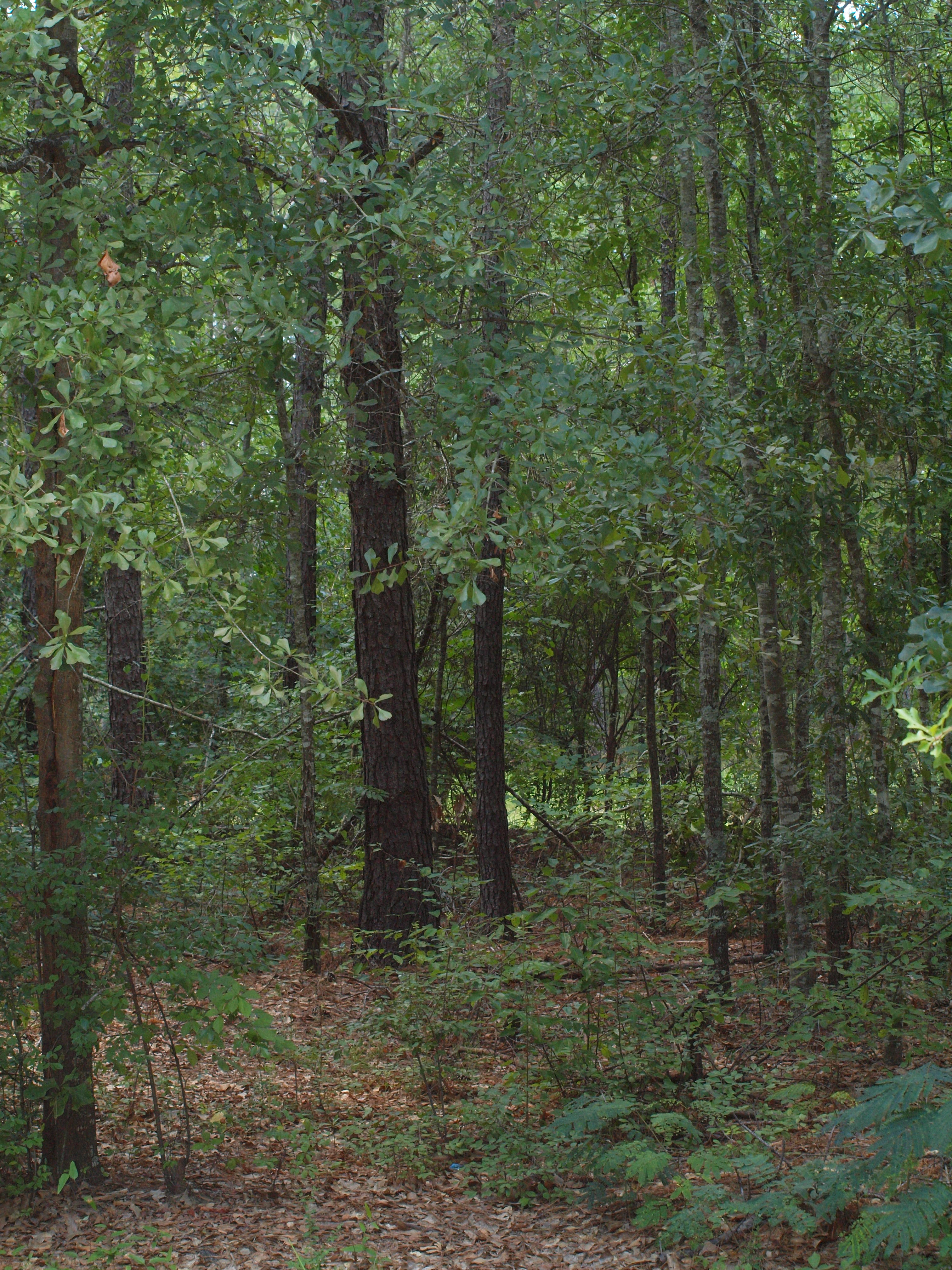
Day 9 (365)

Our Front Yard
covered bridge horizontal
Topographic Map of AL-, Columbia, AL, USA
Find elevation by address:

Places near AL-, Columbia, AL, USA:
Houston County 22, Ashford, AL, USA
J D Love Road
Co Rd 26, Headland, AL, USA
Benton Store Rd, Ashford, AL, USA
AL-52, Webb, AL, USA
Henry County
11073 Co Rd 65
Webb
307 Peachtree St
Headland
N County 55 Rd, Ashford, AL, USA
Columbia
S Main St, Columbia, AL, USA
Co Rd 45, Headland, AL, USA
397 Co Rd 122
Newville
N Railroad St, Newville, AL, USA
75 Johnnie Ingram Rd, Webb, AL, USA
Old River Rd, Blakely, GA, USA
Omussee C & D Landfill
Recent Searches:
- Elevation of Corso Fratelli Cairoli, 35, Macerata MC, Italy
- Elevation of Tallevast Rd, Sarasota, FL, USA
- Elevation of 4th St E, Sonoma, CA, USA
- Elevation of Black Hollow Rd, Pennsdale, PA, USA
- Elevation of Oakland Ave, Williamsport, PA, USA
- Elevation of Pedrógão Grande, Portugal
- Elevation of Klee Dr, Martinsburg, WV, USA
- Elevation of Via Roma, Pieranica CR, Italy
- Elevation of Tavkvetili Mountain, Georgia
- Elevation of Hartfords Bluff Cir, Mt Pleasant, SC, USA