Elevation of S 2nd St, Stillmore, GA, USA
Location: United States > Georgia > Emanuel County > Stillmore >
Longitude: -82.2151656
Latitude: 32.4382662
Elevation: 81m / 266feet
Barometric Pressure: 0KPa
Related Photos:

My house, view from street

Chapel Interior View
You'll have to wait. The dance floor is full.

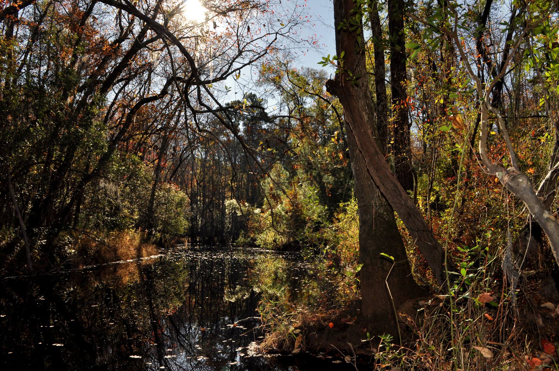
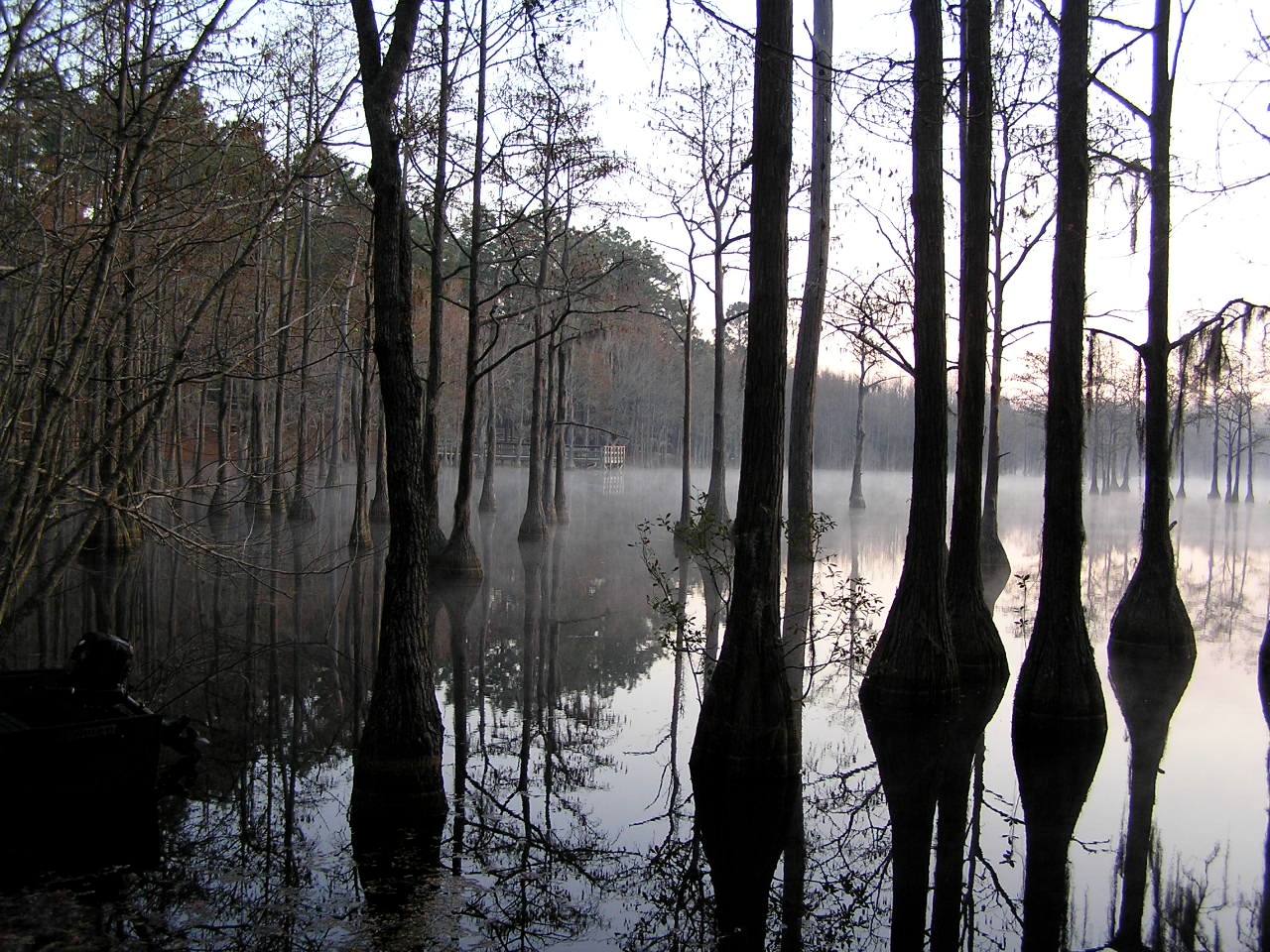
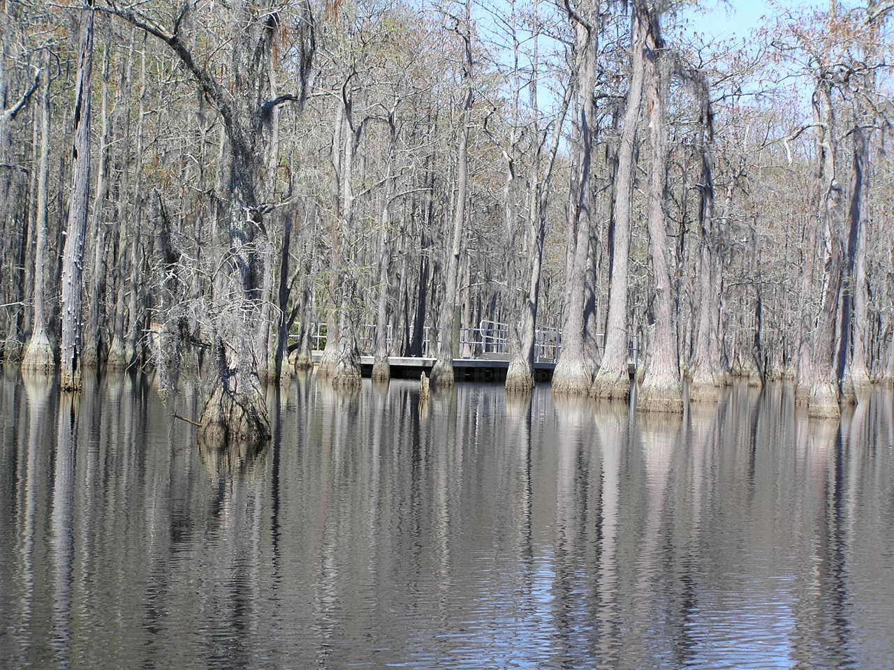
Watson Pond, Explore #420 on November 16, 2014

George L Smith28

Watson Pond: Explore #378 on November 16, 2014

Dirt Road - Candler County
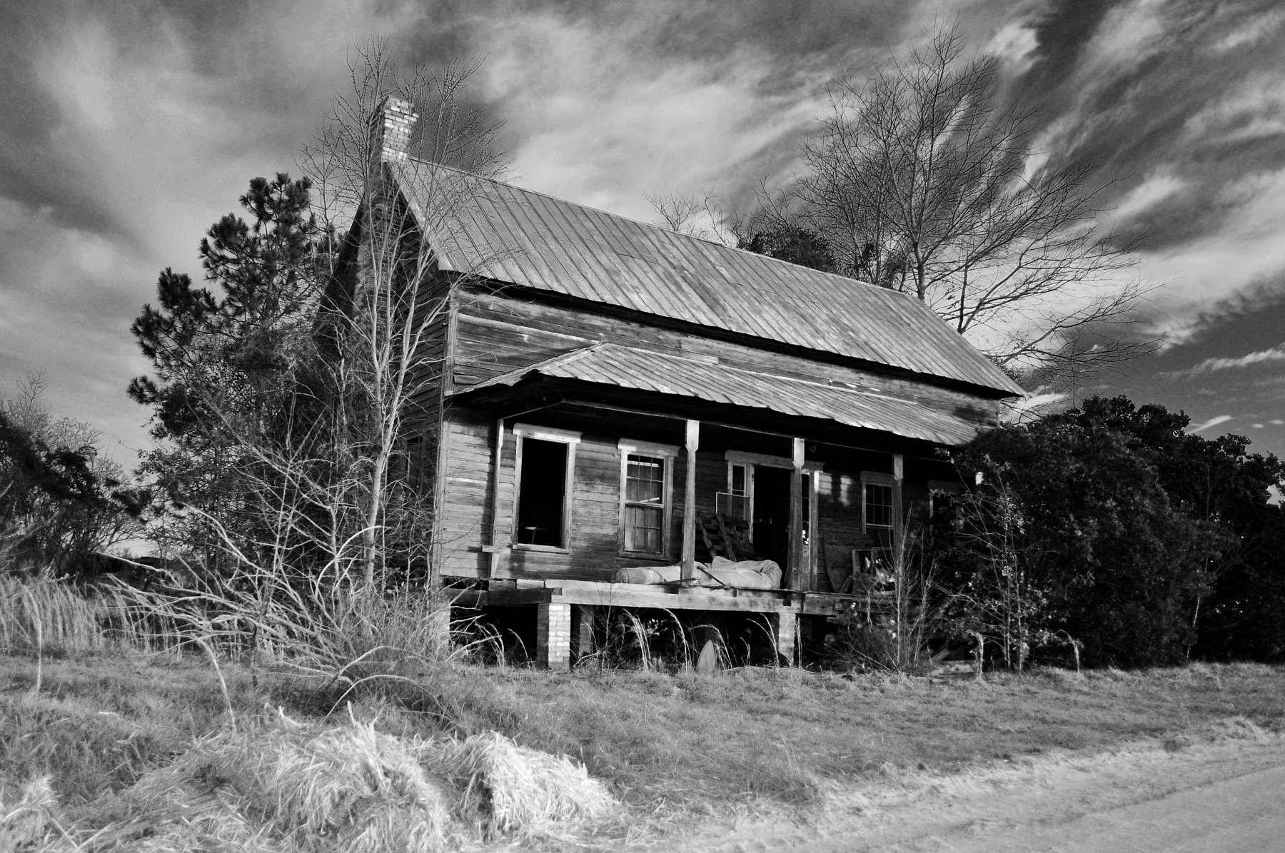
Old Homestead - Candler County

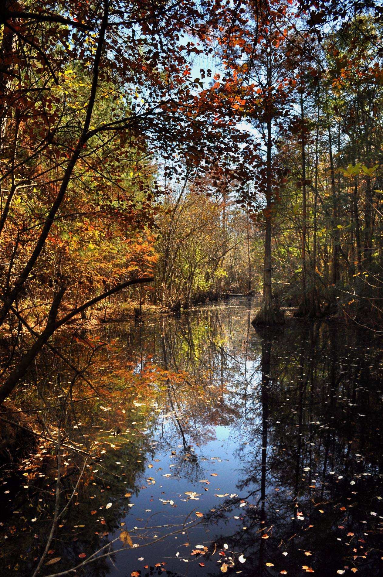
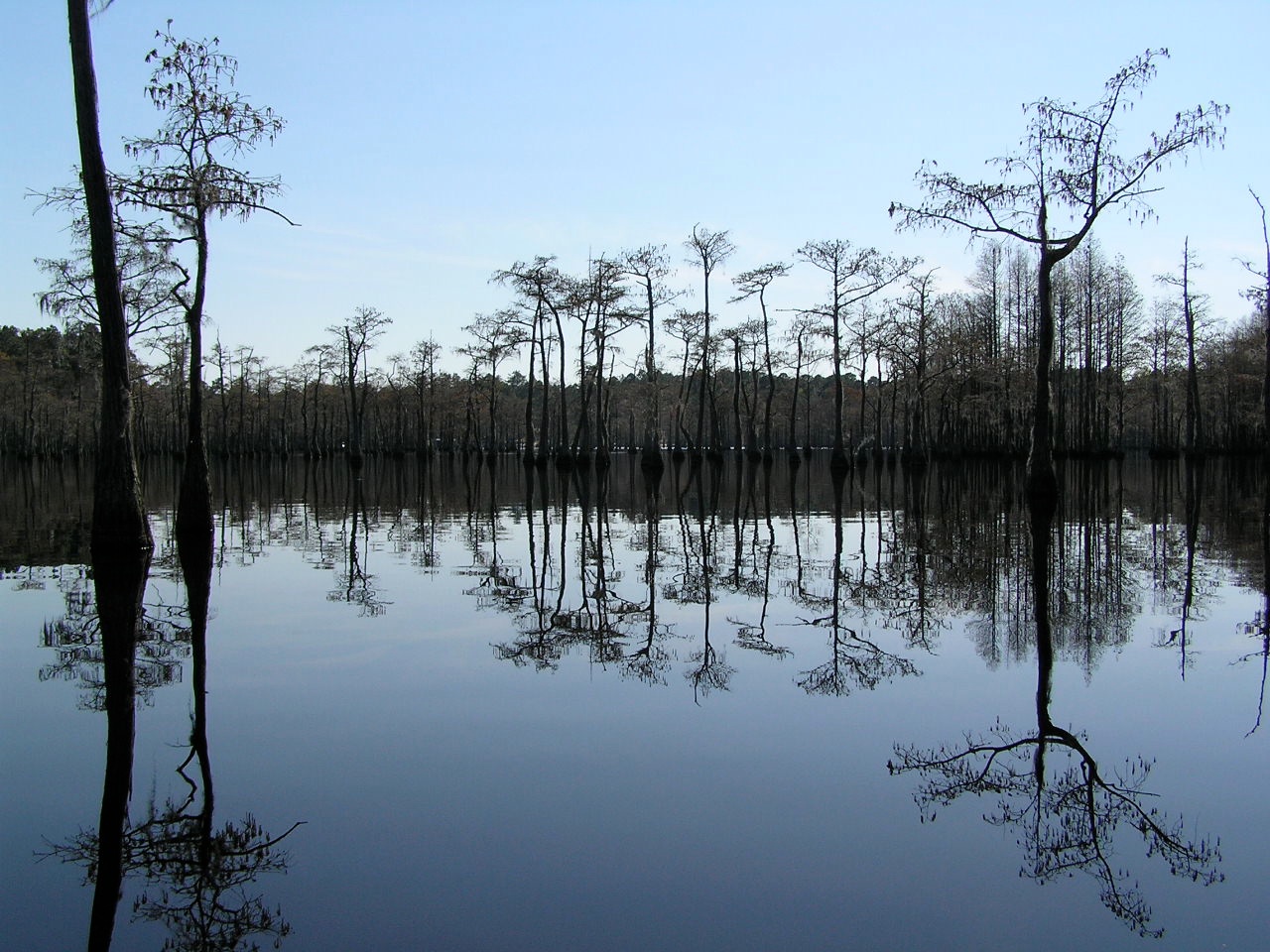
George L. Smith State Park
George L. Smith State Park
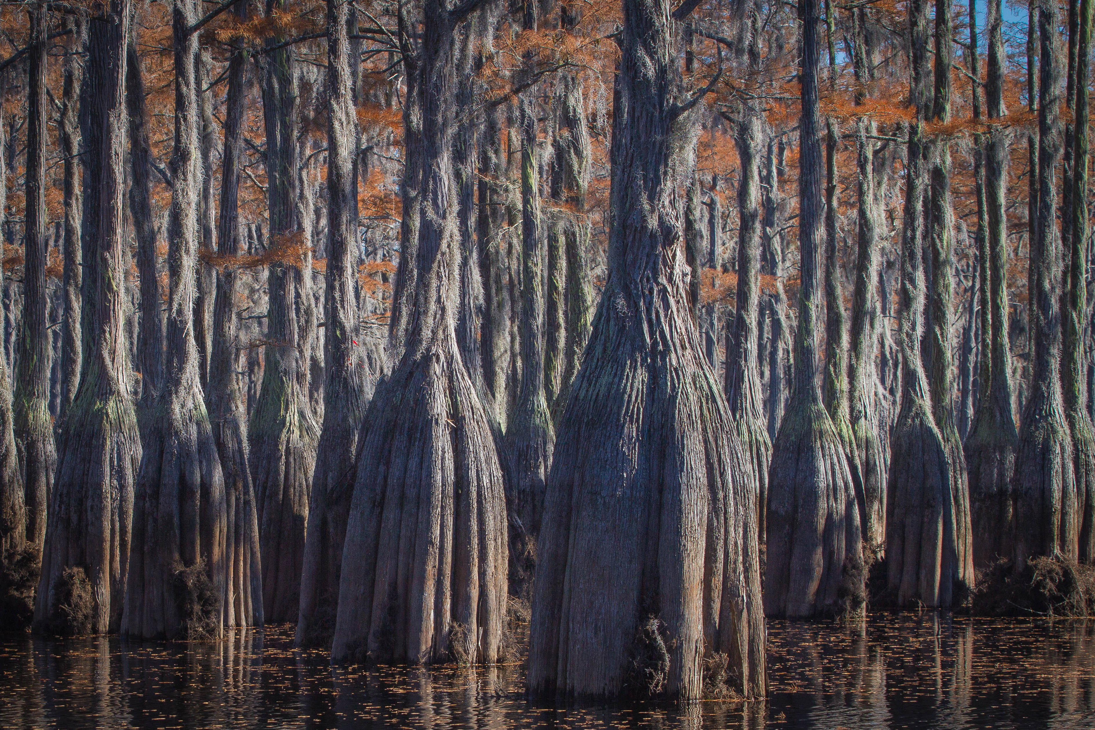
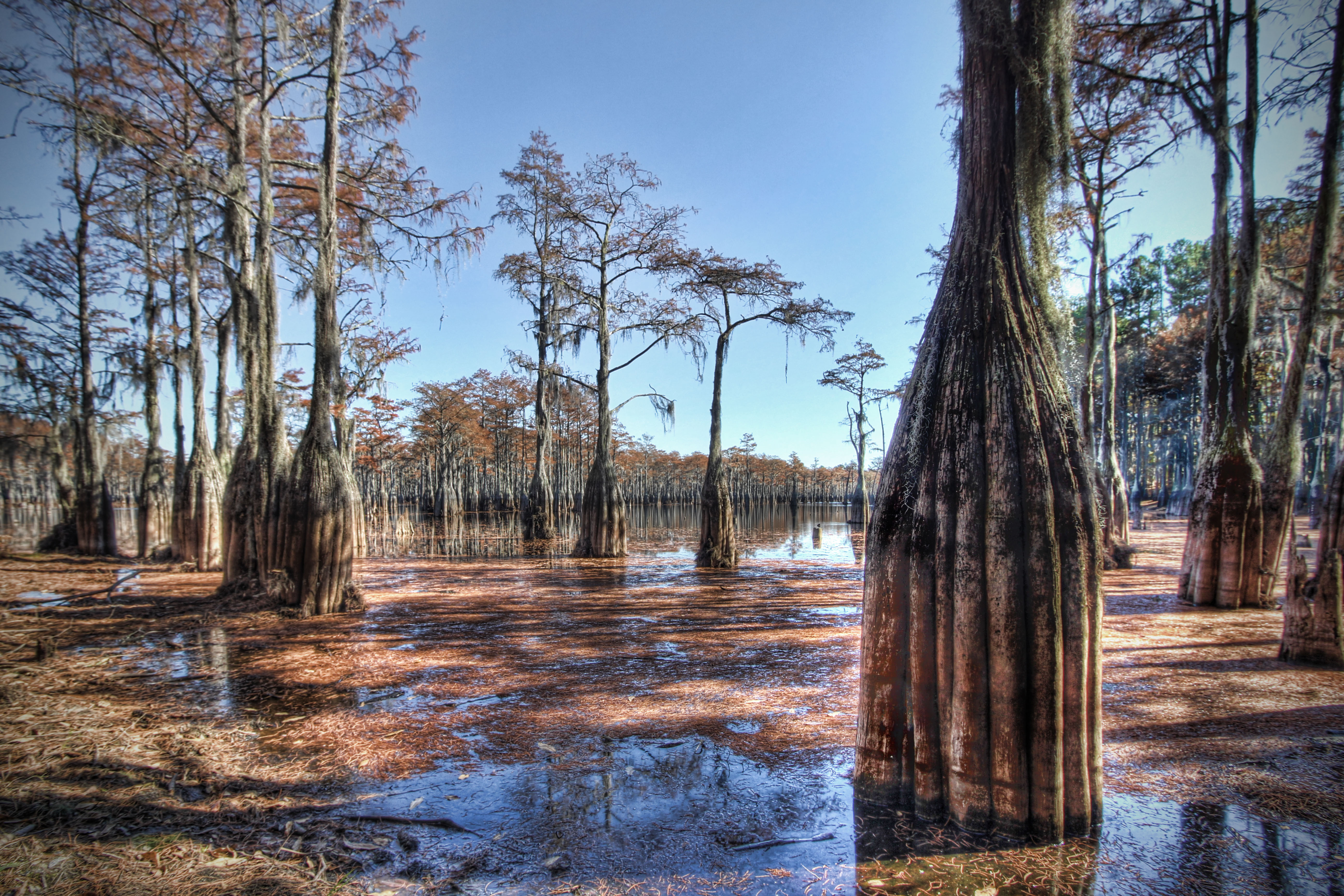
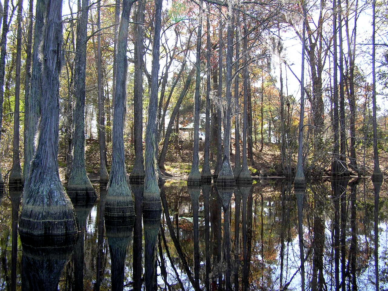
Cypress Trees
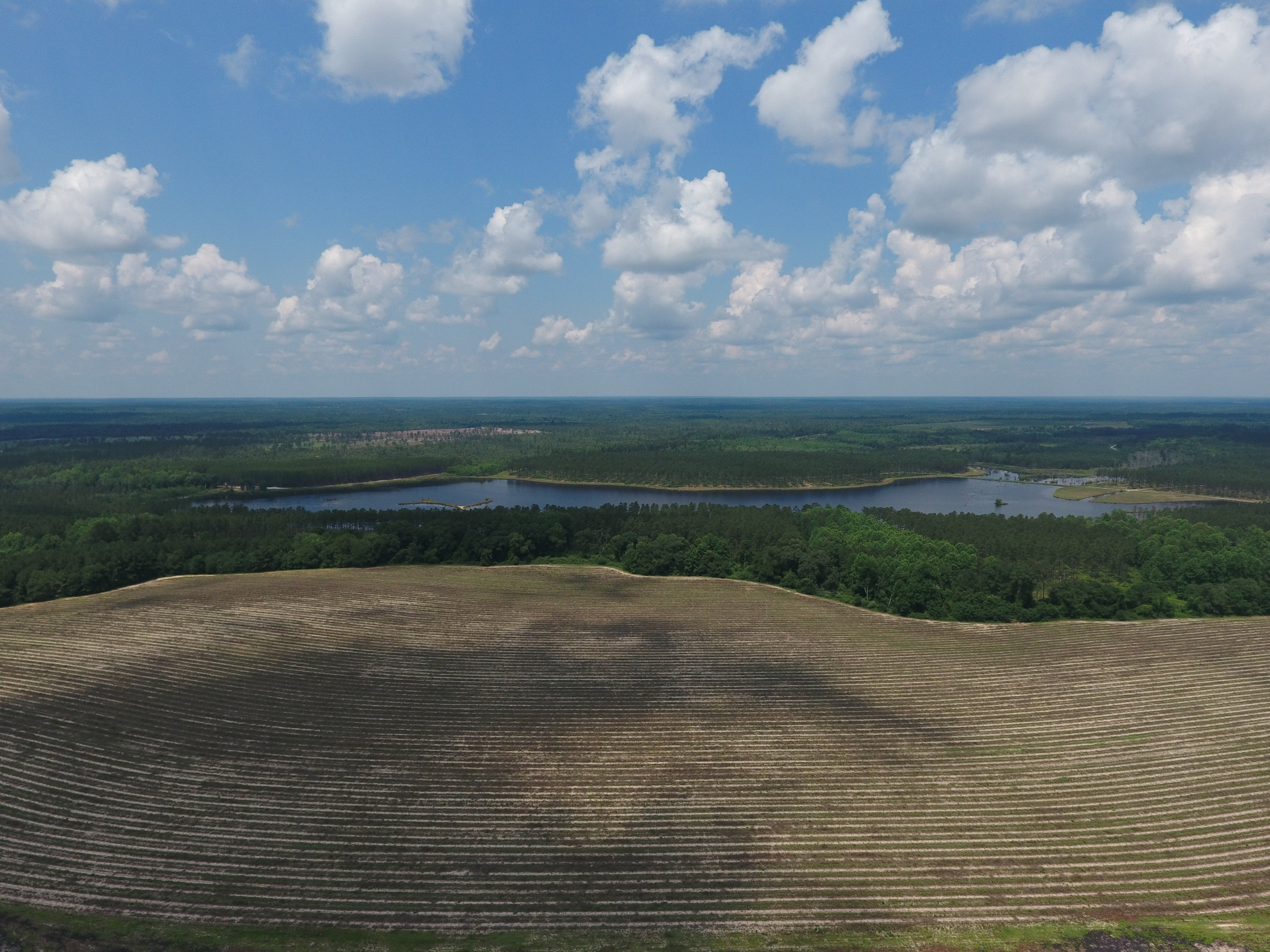
Georgia from above

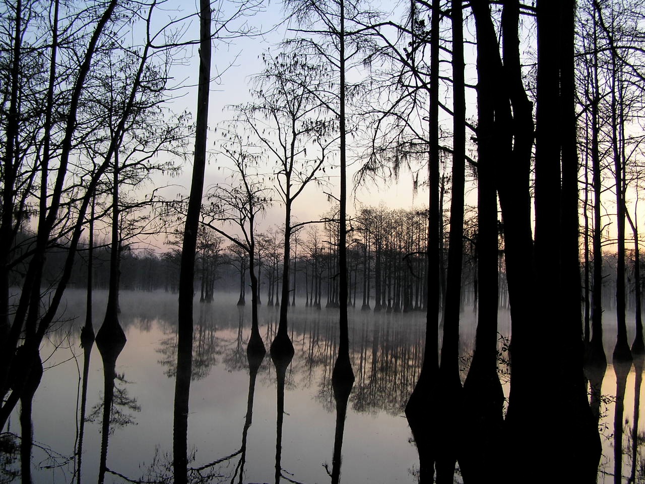
Pond Cypress with pink sky
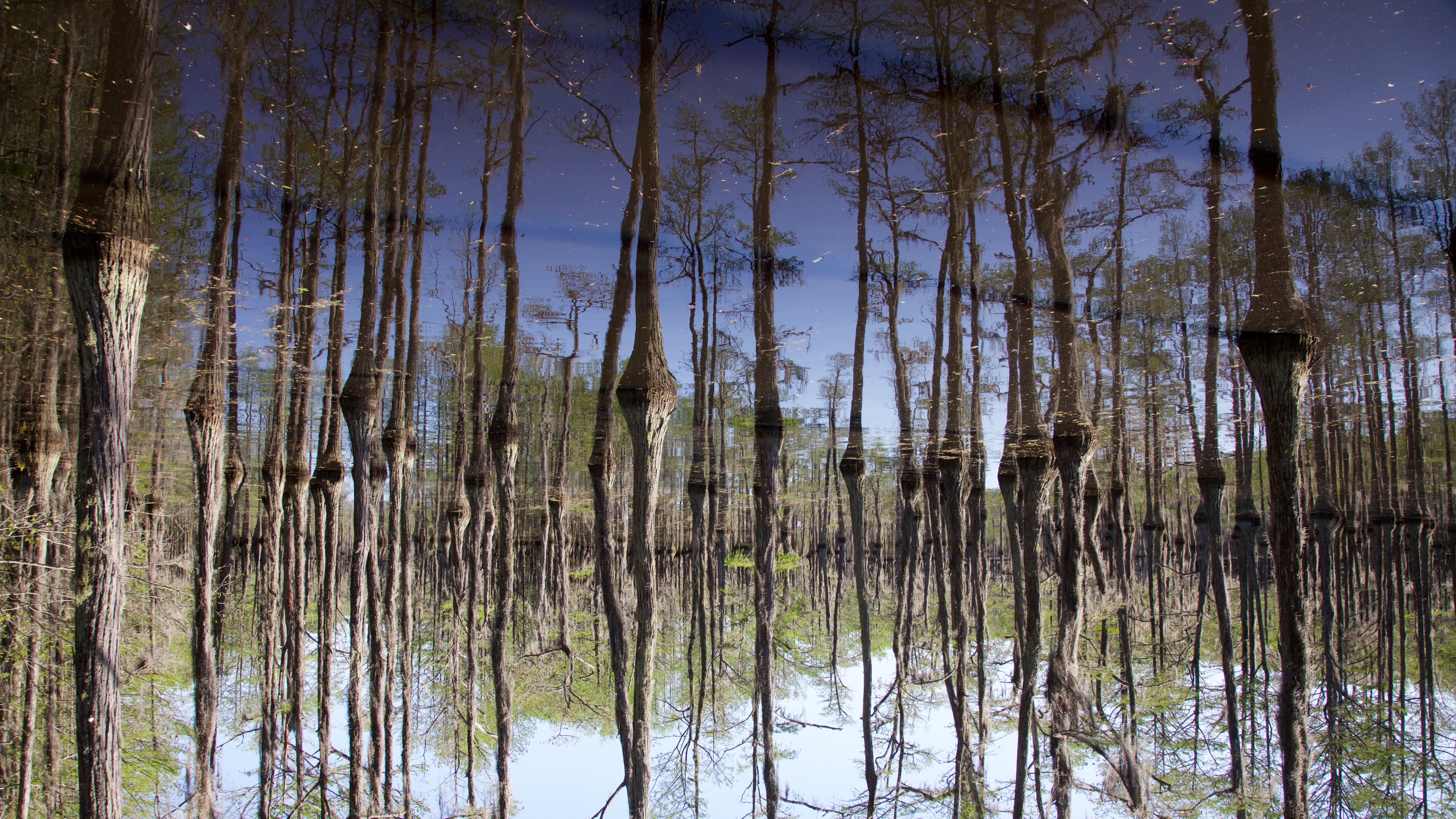
Cypress here to there

George L Smith18
George L Smith29
George L Smith26
George L Smith16
Emanuel County
George L Smith24
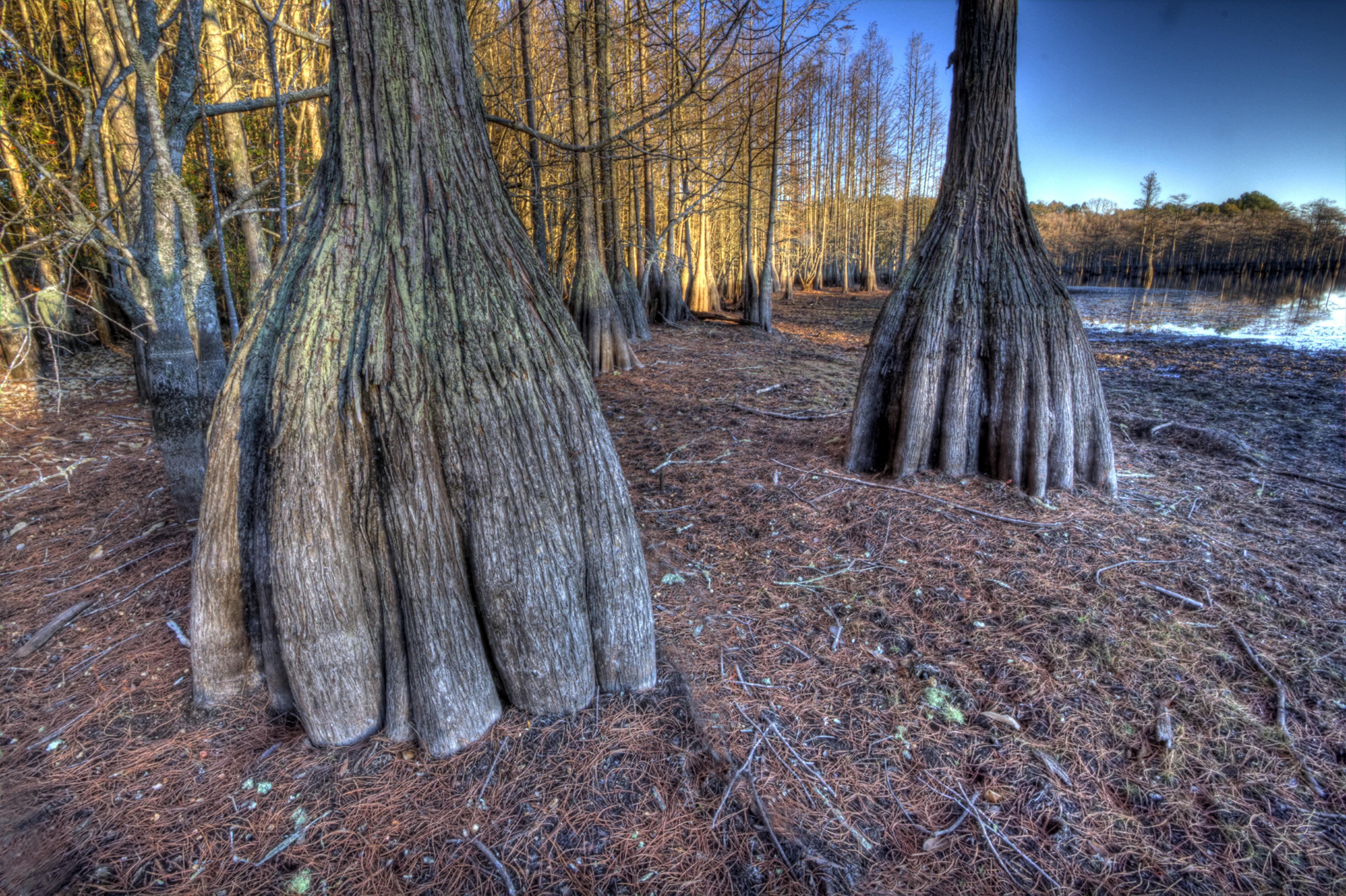
Cypress trunks exposed.

George L Smith21
George L Smith20
Topographic Map of S 2nd St, Stillmore, GA, USA
Find elevation by address:

Places near S 2nd St, Stillmore, GA, USA:
Stillmore
1255 Morgan Rd
Stillmore Hwy, Metter, GA, USA
Rosemary Church Rd, Metter, GA, USA
Candler County
85 Nunez Lexsy Rd, Swainsboro, GA, USA
Central Ave, Metter, GA, USA
Nunez Rd, Swainsboro, GA, USA
2700 Airport Rd
George L. Smith State Park
Twin City
Emanuel County
Metter
S Main St, Swainsboro, GA, USA
Fellowship St, Swainsboro, GA, USA
Swainsboro
426 W Church St
156 Modoc Rd
GA-56, Swainsboro, GA, USA
Canoochee Garfield Rd, Twin City, GA, USA
Recent Searches:
- Elevation of Dharamkot Tahsil, Punjab, India
- Elevation of Bhinder Khurd, Dharamkot Tahsil, Punjab, India
- Elevation of 2881, Chabot Drive, San Bruno, San Mateo County, California, 94066, USA
- Elevation of 10370, West 107th Circle, Westminster, Jefferson County, Colorado, 80021, USA
- Elevation of 611, Roman Road, Old Ford, Bow, London, England, E3 2RW, United Kingdom
- Elevation of 116, Beartown Road, Underhill, Chittenden County, Vermont, 05489, USA
- Elevation of Window Rock, Colfax County, New Mexico, 87714, USA
- Elevation of 4807, Rosecroft Street, Kempsville Gardens, Virginia Beach, Virginia, 23464, USA
- Elevation map of Matawinie, Quebec, Canada
- Elevation of Sainte-Émélie-de-l'Énergie, Matawinie, Quebec, Canada
- Elevation of Rue du Pont, Sainte-Émélie-de-l'Énergie, Matawinie, Quebec, J0K2K0, Canada
- Elevation of 8, Rue de Bécancour, Blainville, Thérèse-De Blainville, Quebec, J7B1N2, Canada
- Elevation of Wilmot Court North, 163, University Avenue West, Northdale, Waterloo, Region of Waterloo, Ontario, N2L6B6, Canada
- Elevation map of Panamá Province, Panama
- Elevation of Balboa, Panamá Province, Panama
- Elevation of San Miguel, Balboa, Panamá Province, Panama
- Elevation of Isla Gibraleón, San Miguel, Balboa, Panamá Province, Panama
- Elevation of 4655, Krischke Road, Schulenburg, Fayette County, Texas, 78956, USA
- Elevation of Carnegie Avenue, Downtown Cleveland, Cleveland, Cuyahoga County, Ohio, 44115, USA
- Elevation of Walhonding, Coshocton County, Ohio, USA