Elevation of Stillmore, GA, USA
Location: United States > Georgia > Emanuel County >
Longitude: -82.215123
Latitude: 32.442115
Elevation: 81m / 266feet
Barometric Pressure: 100KPa
Elevation Map:
Satellite Map:
Related Photos:

My house, view from street

Chapel Interior View

You'll have to wait. The dance floor is full.

Pond Cypress with pink sky

Cypress here to there

George L Smith18

George L Smith29

George L Smith26
George L Smith16

Emanuel County

Dirt Road - Candler County

Old Homestead - Candler County
George L Smith24
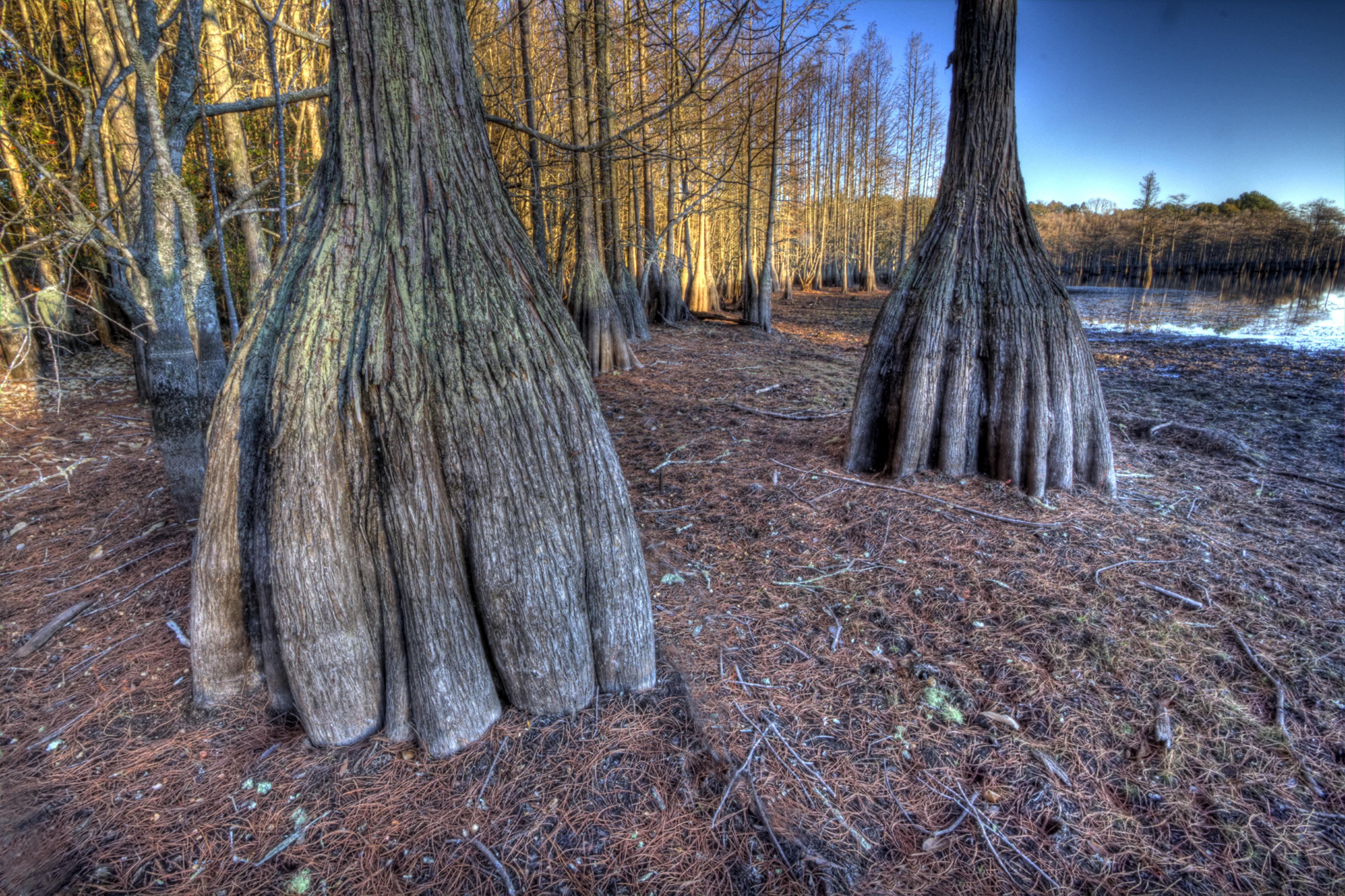
Cypress trunks exposed.

George L Smith21
George L Smith20

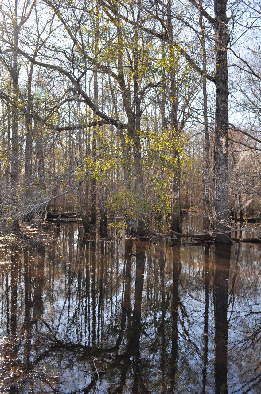
Water-filled

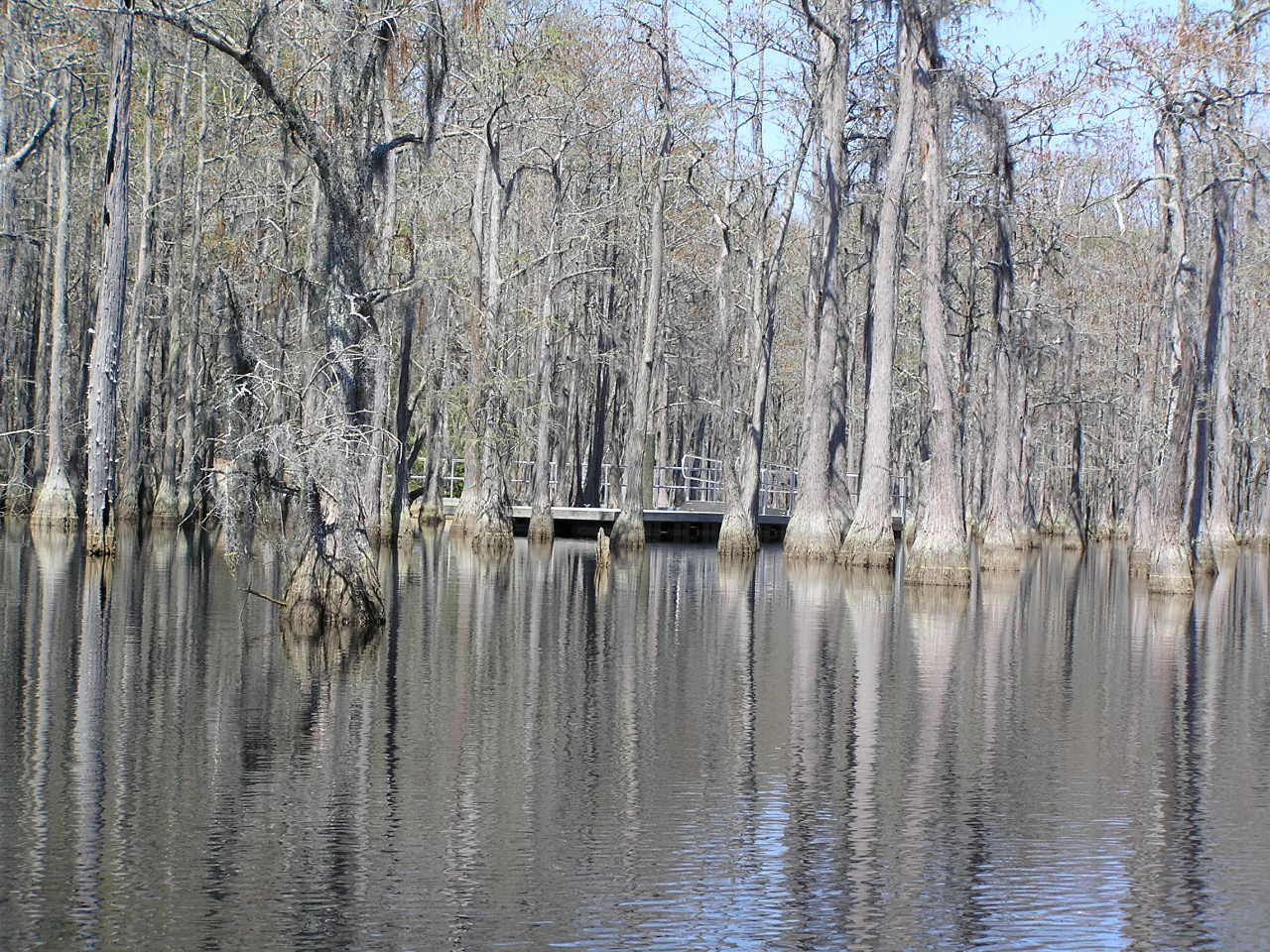
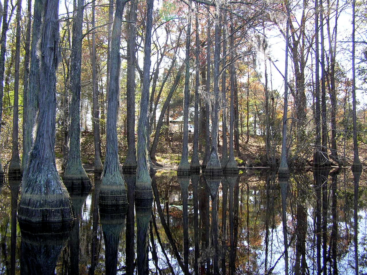
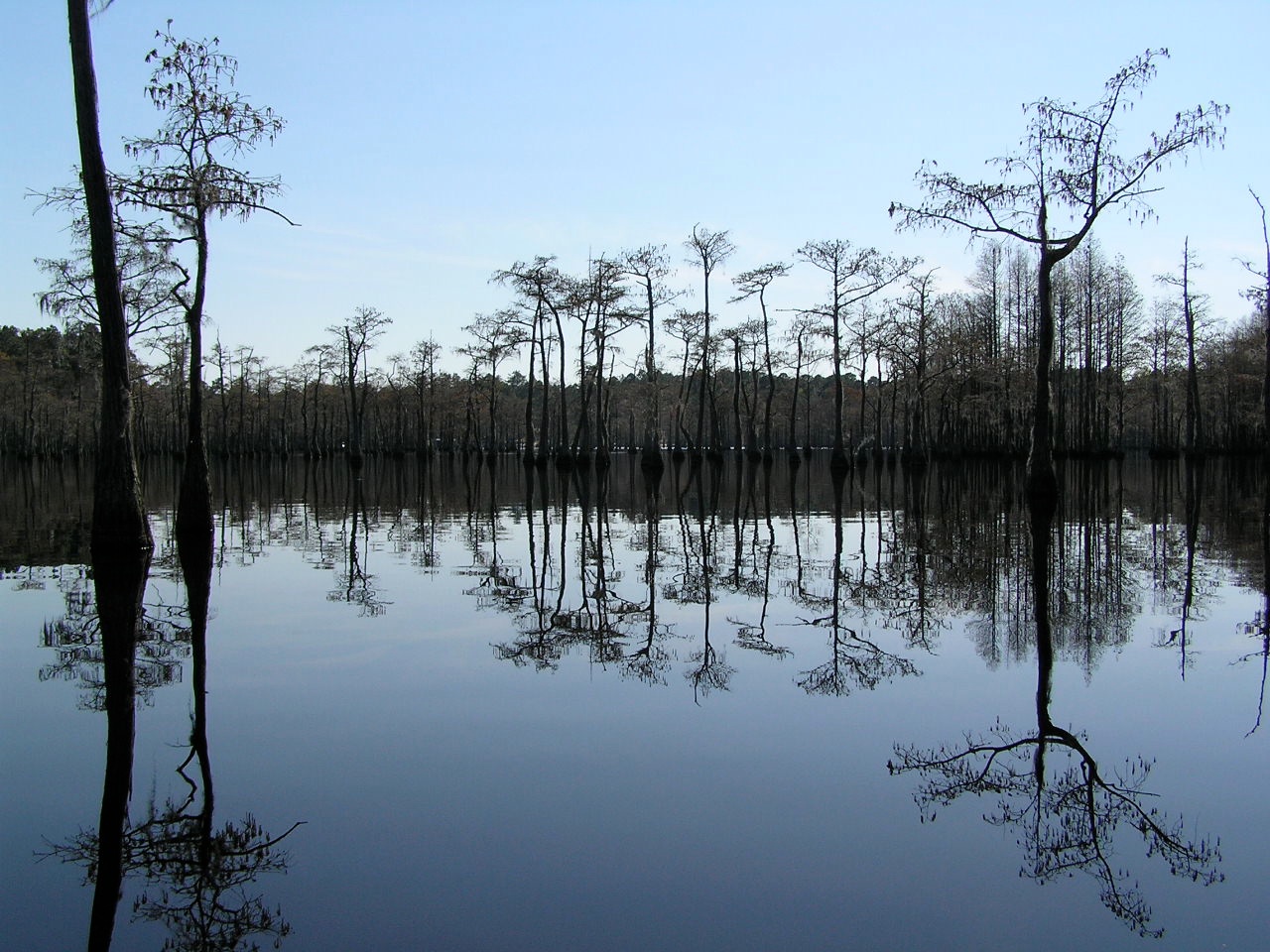
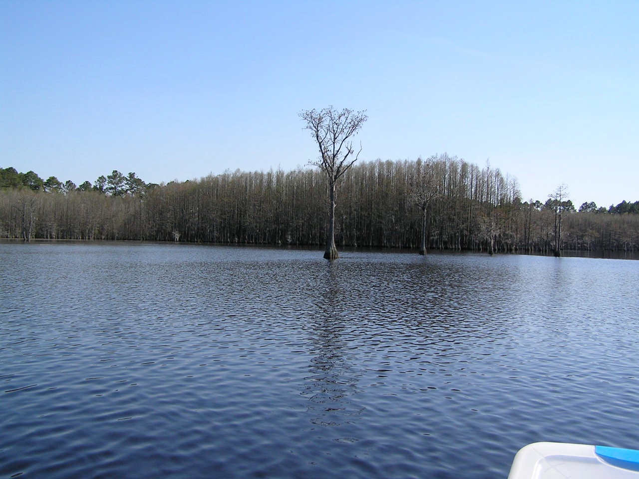
George L. Smith State Park

George L. Smith State Park

George L. Smith State Park
Ohoopee River, 7

George L Smith State Park
George L Smith19
Topographic Map of Stillmore, GA, USA
Find elevation by address:

Places in Stillmore, GA, USA:
Places near Stillmore, GA, USA:
S 2nd St, Stillmore, GA, USA
1255 Morgan Rd
Stillmore Hwy, Metter, GA, USA
Rosemary Church Rd, Metter, GA, USA
Candler County
Nunez Rd, Swainsboro, GA, USA
85 Nunez Lexsy Rd, Swainsboro, GA, USA
Central Ave, Metter, GA, USA
2700 Airport Rd
George L. Smith State Park
Twin City
Emanuel County
S Main St, Swainsboro, GA, USA
Metter
Fellowship St, Swainsboro, GA, USA
Swainsboro
426 W Church St
156 Modoc Rd
Canoochee Garfield Rd, Twin City, GA, USA
Canoochee
Recent Searches:
- Elevation of Corso Fratelli Cairoli, 35, Macerata MC, Italy
- Elevation of Tallevast Rd, Sarasota, FL, USA
- Elevation of 4th St E, Sonoma, CA, USA
- Elevation of Black Hollow Rd, Pennsdale, PA, USA
- Elevation of Oakland Ave, Williamsport, PA, USA
- Elevation of Pedrógão Grande, Portugal
- Elevation of Klee Dr, Martinsburg, WV, USA
- Elevation of Via Roma, Pieranica CR, Italy
- Elevation of Tavkvetili Mountain, Georgia
- Elevation of Hartfords Bluff Cir, Mt Pleasant, SC, USA