Elevation of GA-56, Swainsboro, GA, USA
Location: United States > Georgia > Emanuel County > Swainsboro >
Longitude: -82.444502
Latitude: 32.4888487
Elevation: 62m / 203feet
Barometric Pressure: 101KPa
Elevation Map:
Satellite Map:
Related Photos:

Fireworks on the 4th

State Route 86, Treutlen County, Georgia

2010FieldDay-070
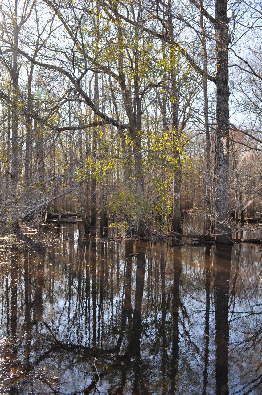
Ohoopee River, 7

2010 Field Day - 071

2010 Field Day - 064

2010 Field Day - 067
2010 Field Day - 065
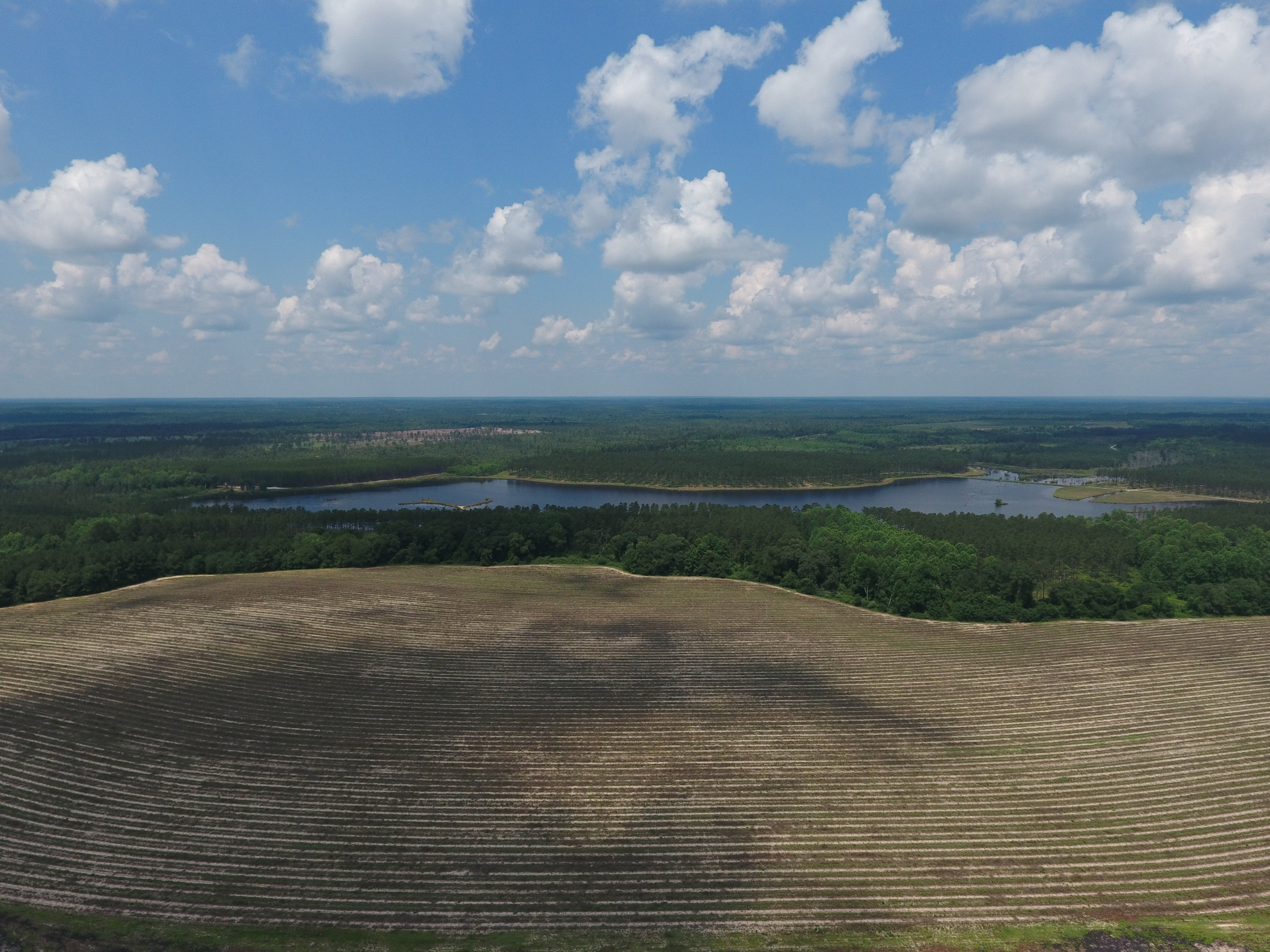
Georgia from above

2010 Field Day - 066
Topographic Map of GA-56, Swainsboro, GA, USA
Find elevation by address:

Places near GA-56, Swainsboro, GA, USA:
Halls Bridge Road
US-, Soperton, GA, USA
85 Nunez Lexsy Rd, Swainsboro, GA, USA
Nunez Rd, Swainsboro, GA, USA
S Main St, Swainsboro, GA, USA
426 W Church St
Adrian
GA-78, Adrian, GA, USA
Swainsboro
156 Modoc Rd
Emanuel County
Treutlen County
Soperton
Fellowship St, Swainsboro, GA, USA
Co Rd, Adrian, GA, USA
374 Country Rd 66
119 Lester Carroll Rd
Main St, Adrian, GA, USA
62 GA-29, Soperton, GA, USA
Stillmore
Recent Searches:
- Elevation of Corso Fratelli Cairoli, 35, Macerata MC, Italy
- Elevation of Tallevast Rd, Sarasota, FL, USA
- Elevation of 4th St E, Sonoma, CA, USA
- Elevation of Black Hollow Rd, Pennsdale, PA, USA
- Elevation of Oakland Ave, Williamsport, PA, USA
- Elevation of Pedrógão Grande, Portugal
- Elevation of Klee Dr, Martinsburg, WV, USA
- Elevation of Via Roma, Pieranica CR, Italy
- Elevation of Tavkvetili Mountain, Georgia
- Elevation of Hartfords Bluff Cir, Mt Pleasant, SC, USA