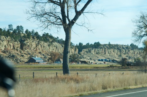
Elevation of Ryegate, MT, USA

Location: United States > Montana > Golden Valley County >

Longitude: -109.25878

Latitude: 46.2971794

Elevation: 1113m / 3652feet

Barometric Pressure: 89KPa

Elevation Map:

elevation map of Ryegate, MT, USA

Satellite Map:

Satellite map of Ryegate, MT, USA

Related Photos:

montana barber townsite goldenvalleycounty bigsnowymountains
Barber, Montana
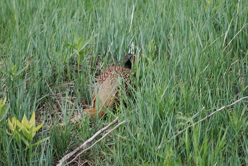
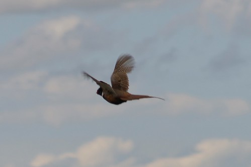
blue red green bird birds america neck fly flying wings flyer rust montana pheasant birding wing feathers feather ring phasianuscolchicus american aba winged birder russet feathered rufous necked northamericanbirds ringneckedpheasant americanbirds goldenvalleycounty birdsofnorthamerica americanbirdingassociation montanabirds photobywes montanabird abaarea montanabirding ryegatemontana birdsofmontana montanabirder fridaysat89 tablerockranch americanbirding americanbirder
Ring-necked Pheasant, Phasianus colchicus, Ryegate Montana, Tablerock Ranch, Golden Valley County, Photo by Wes
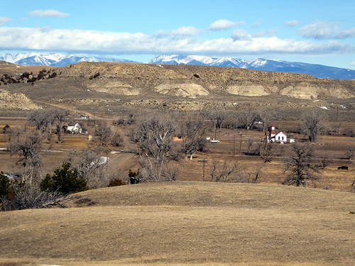
old blue trees red sky cliff west color horizontal barn rural vintage landscape countryside wooden montana rocks day mt realestate outdoor farm horizon small country hill farming rocky sunny nobody nopeople landmark scene farmland cliffs retro ridge american valley western goldenvalley copyspace agriculture far hilly tranquil barnyard agricultural bucolic oldfashioned ryegate extremeterrain goldenvalleycounty
Nestled Along the Cliffs
old blue school roof sky white color building history abandoned horizontal rural landscape design countryside community education montana mt exterior classroom decay horizon country nobody nopeople landmark architectural forgotten learning copyspace middle schoolhouse quaint tranquil centered smalltown 79 ryegate oneroom schooldistrict goldenvalleycounty bigcoulee
Big Coulee School
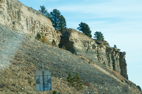
ALCAN Drive, Taken on 2013-10-27, Pic #359
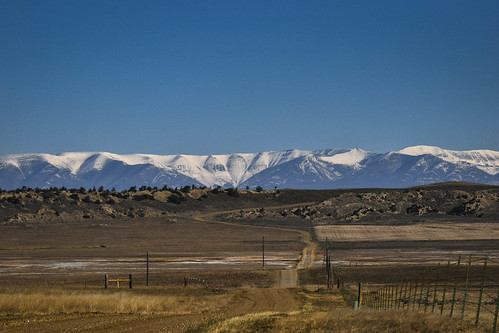
road montana prairie grassland
Big Snowy Mountains, outside Barber, Mt
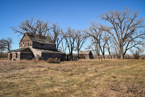
trees abandoned home rural montana decay
Abandoned House, Barber, Mt
horseetc
Table Rock Ranch Trespassers
horseetc
Table Rock Ranch Trespassers
horseetc
Table Rock Ranch Trespassers
horseetc
Table Rock Ranch Trespassers
horseetc
Table Rock Ranch Trespassers
tripphone1
Table Rock Ranch Trespassers
tripphone1
Table Rock Ranch Trespassers
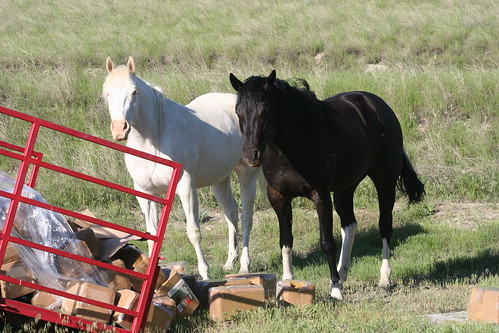
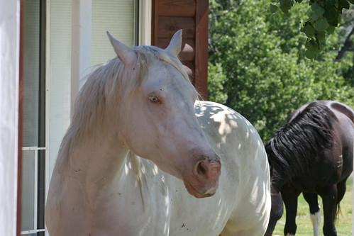
ranch horses horse rock table montana whitehorse blackhorse ryegate horseetc montanabirding ryegatemontana montanabirder tablerockranch
Table Rock Ranch Trespassers
horseetc
Table Rock Ranch Trespassers
horseetc
Table Rock Ranch Trespassers
tripphone1
Table Rock Ranch Trespassers
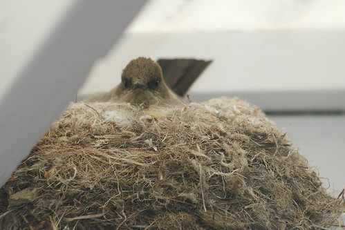
brown white black bird birds america grey wings montana nest tail birding gray wing beak feathers feather phoebe american twig catch aba catcher says winged say birder nesting feathered nestbuilding flycatcher tailfeathers northamericanbirds saysphoebe sayornissaya eastof americanbirds harlowtonmontana birdsofnorthamerica americanbirdingassociation montanabirds photobywes montanabird abaarea montanabirding ryegatemontana birdsofmontana montanabirder fridaysat89 tablerockranch americanbirding americanbirder birdingmontana
Say's Phoebe, Sayornis saya, Tablerock Ranch, East of Harlowton Montana, West of Ryegate Montana, Photo by Wes
blue red green bird birds america neck fly flying wings flyer rust montana pheasant birding wing feathers feather ring phasianuscolchicus american aba winged birder russet feathered rufous necked northamericanbirds ringneckedpheasant americanbirds goldenvalleycounty birdsofnorthamerica americanbirdingassociation montanabirds photobywes montanabird abaarea montanabirding ryegatemontana birdsofmontana montanabirder fridaysat89 tablerockranch americanbirding americanbirder
Ring-necked Pheasant, Phasianus colchicus, Ryegate Montana, Tablerock Ranch, Golden Valley County, Photo by Wes
ALCAN Drive, Taken on 2013-10-27, Pic #353